Around the Grand Canyon
For Cee’s Which Way Challenge this week I’m taking y’all on a hiking adventure back in time to Nineteen Seventy-One (1971). This adventure was a part of a church youth group outing to the Grand Canyon in Arizona. It started off as approximately an 8 hour and 35-minute drive traveling by bus for five hundred sixty-nine miles (569) east northeast loaded with enthusiastic teenagers. [Bus ride not pictured.]
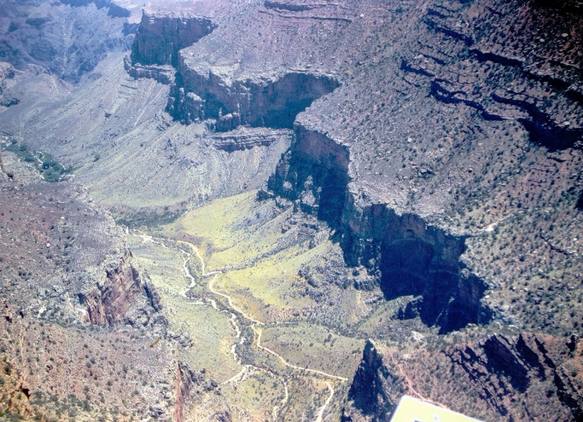
Our first stop at the Grand Canyon was the South Rim where we happened upon the Trans-Canyon Waterline. The South Rim water is pumped up 3200 feet from springs at Indian Gardens, but flow is inadequate for today’s needs (the thoughts in 1971.) Thus the Trans-Canyon Waterline was constructed beginning in 1965 and took until 1970 to complete.
This waterline stretches from the current water intake at Roaring Springs on the north side of the canyon, down to Phantom Ranch, and back up to Indian Garden through extremely rugged terrain accessible only by trail or helicopter. It carries about 190 million gallons of drinking water to over 5,000,000 visitors and 2,500 residents at the Inner Canyon Corridor and South Rim developed area.
Besides the view of the signage, we could see the pipeline which transports the water up to the South Rim and have a terrific view of the Bright Angel Trail. The Bright Angel Trail is the trail which led us to the bottom of the Canyon and the Silver Bridge.
Before we started hiking on the trail we stopped at Hermits Rest to enjoy some spectacular views. Hermits Rest is an iconic and historic stop, at the conclusion of Hermit Road, and the Canyon Rim Trail. It also serves as the gateway to magnificent backcountry hiking trails that originate from the Hermit Trail, a steeply winding path into the canyon that begins 0.25 miles (0.4 km) west of this distinctive building.
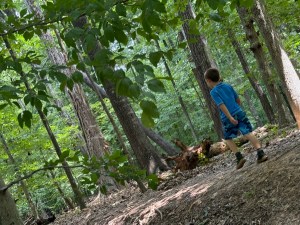
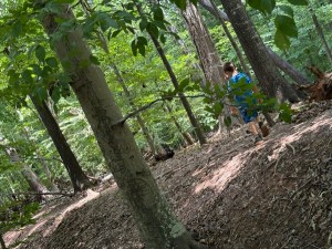
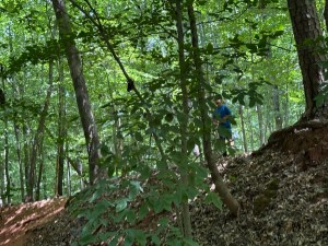
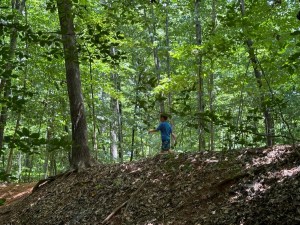
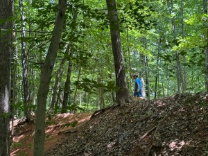
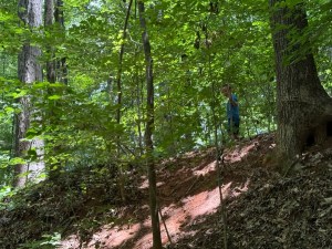
Now that we’ve had an overlook of where we are going to be hiking, let’s Move Onward and Forward along the trail. We have a long way to go ahead of us before we’ll reach the bottom of the Grand Canyon and Phantom Ranch.
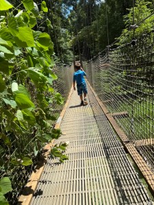
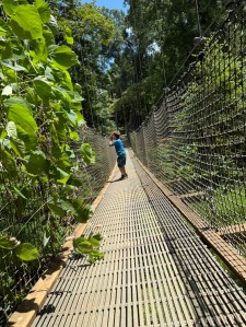
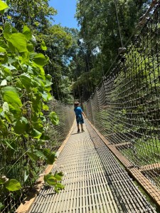
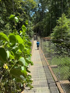
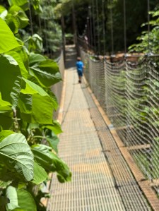
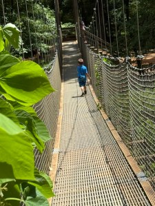
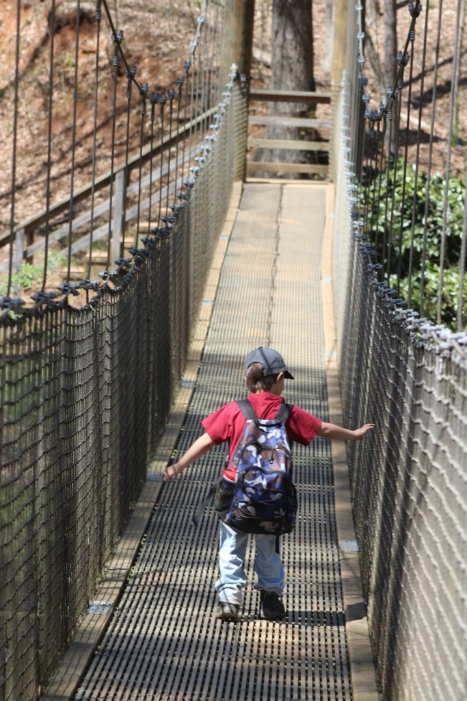
Once we reach the bottom we had to cross the Silver Bridge to reach our destination. The Silver Bridge is a 500 feet long steel suspension bridge spanning a green river with canyon slopes and cliffs on the opposite side. The Silver Bridge, is located a short distance downstream from the Black Bridge. Both the Silver Bridge and the Black Bridge serve as critical transportation links between the South and North rims at Grand Canyon National Park.
When you visit the South Rim of the Grand Canyon don’t forget to stop at Yavapai Point to see some fabulous views. Make sure you have your camera (or at least your smartphone) with you to capture the beautiful scenic views.
Cee’s Which Way Challenge-2024.05.23
Photo Credit:©️1971 Nornal H. Waters (my dad) … All Rights Reserved.
Location: South Rim; Hermits Rest; Silver Bridge; Grand Canyon, Arizona, USA
God Bless. Thank you for visiting and sharing in our memories of hiking the Grand Canyon. Thank you for sharing your time and thoughts with me. I appreciate y’all very much.