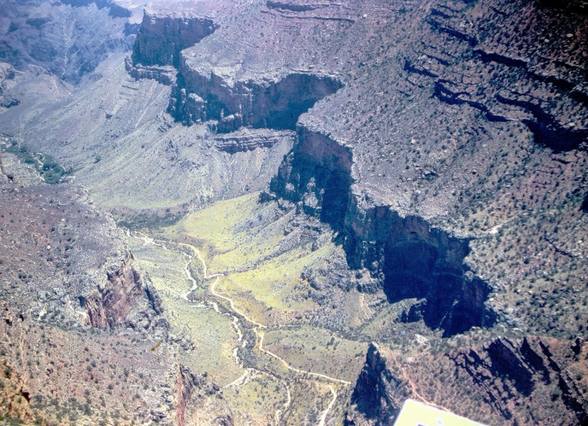
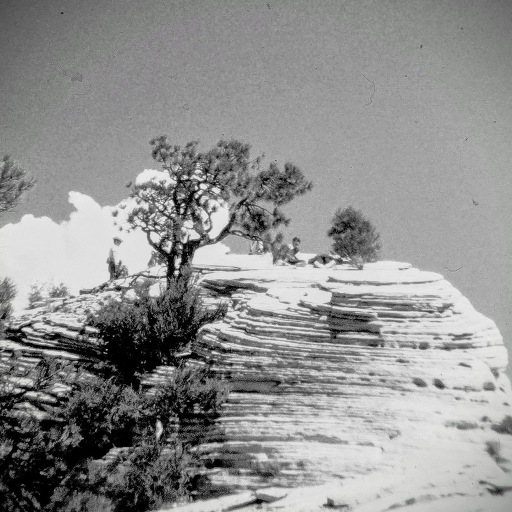
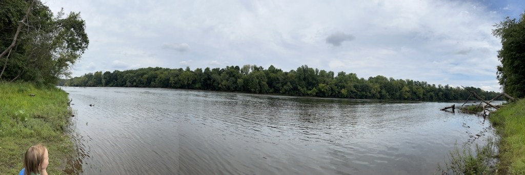
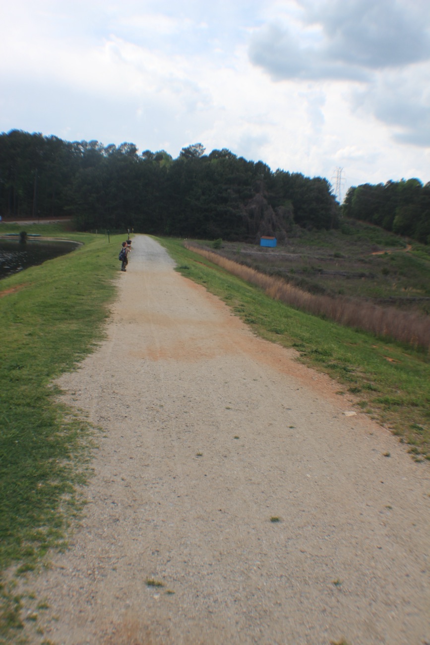
For Cee’s Which Way Challenge this week I’m taking y’all on a hiking adventure back in time to Nineteen Seventy-One (1971). This adventure was a part of a church youth group outing to the Grand Canyon in Arizona. It started off as approximately an 8 hour and 35-minute drive traveling by bus for five hundred sixty-nine miles (569) east northeast loaded with enthusiastic teenagers. [Bus ride not pictured.]
Our first stop at the Grand Canyon was the South Rim where we happened upon the Trans-Canyon Waterline. The South Rim water is pumped up 3200 feet from springs at Indian Gardens, but flow is inadequate for today’s needs (the thoughts in 1971.) Thus the Trans-Canyon Waterline was constructed beginning in 1965 and took until 1970 to complete.
This waterline stretches from the current water intake at Roaring Springs on the north side of the canyon, down to Phantom Ranch, and back up to Indian Garden through extremely rugged terrain accessible only by trail or helicopter. It carries about 190 million gallons of drinking water to over 5,000,000 visitors and 2,500 residents at the Inner Canyon Corridor and South Rim developed area.
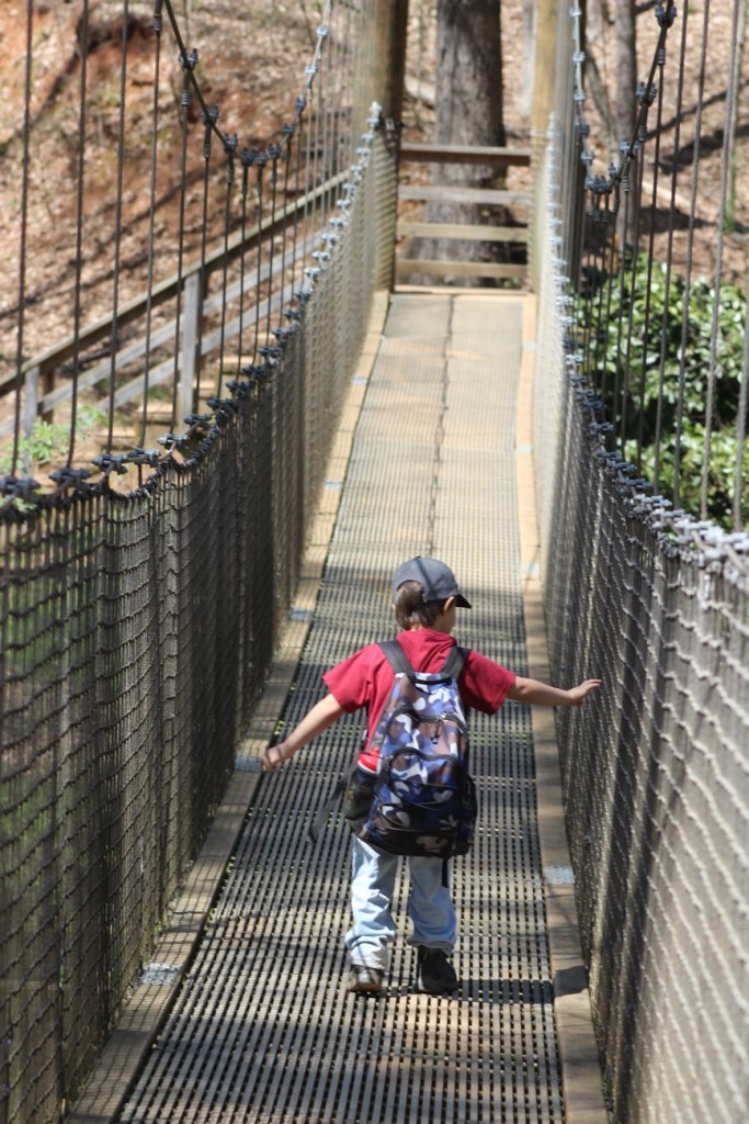
Besides the view of the signage, we could see the pipeline which transports the water up to the South Rim and have a terrific view of the Bright Angel Trail. The Bright Angel Trail is the trail which led us to the bottom of the Canyon and the Silver Bridge.
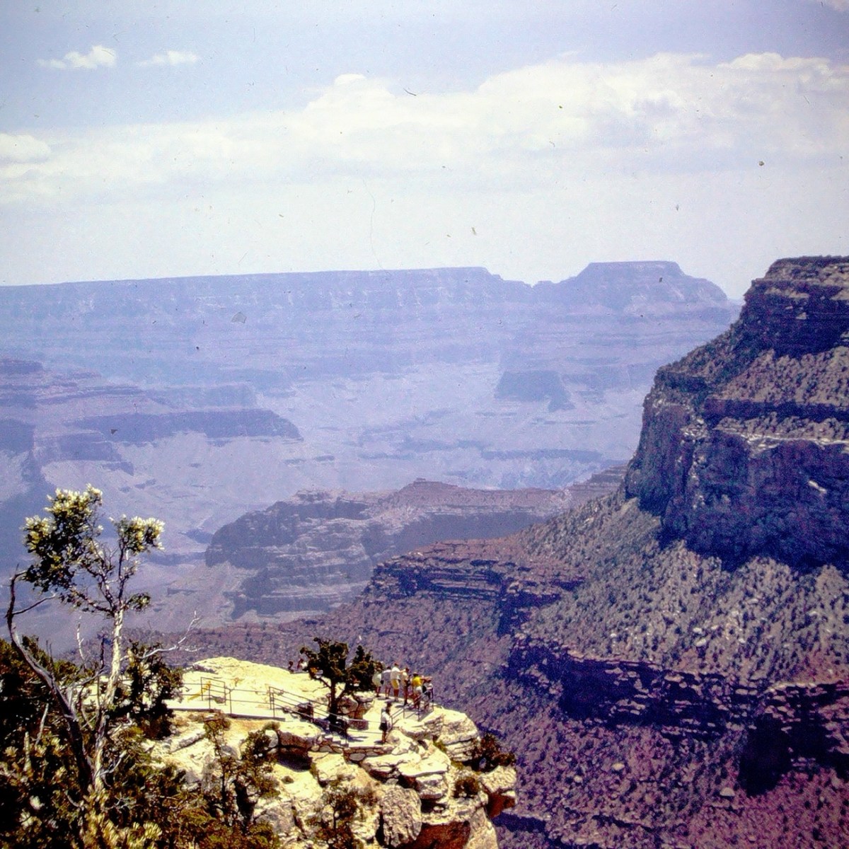
Before we started hiking on the trail we stopped at Hermits Rest to enjoy some spectacular views. Hermits Rest is an iconic and historic stop, at the conclusion of Hermit Road, and the Canyon Rim Trail. It also serves as the gateway to magnificent backcountry hiking trails that originate from the Hermit Trail, a steeply winding path into the canyon that begins 0.25 miles (0.4 km) west of this distinctive building.
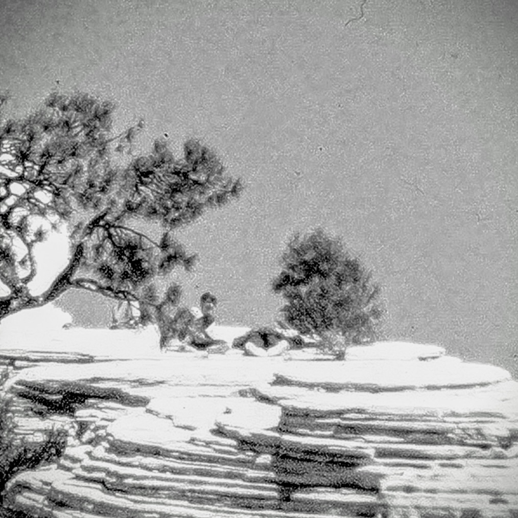
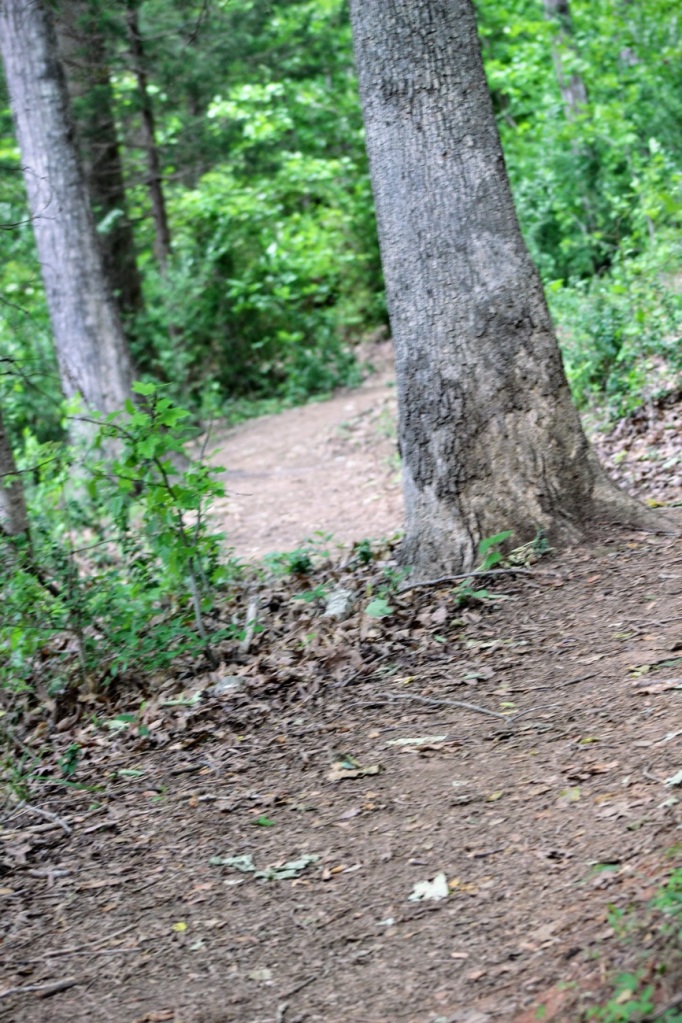
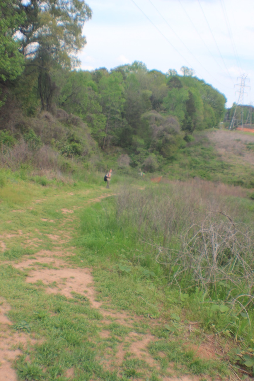
Now that we’ve had an overlook of where we are going to be hiking, let’s Move Onward and Forward along the trail. We have a long way to go ahead of us before we’ll reach the bottom of the Grand Canyon and Phantom Ranch.
Once we reach the bottom we had to cross the Silver Bridge to reach our destination. The Silver Bridge is a 500 feet long steel suspension bridge spanning a green river with canyon slopes and cliffs on the opposite side. The Silver Bridge, is located a short distance downstream from the Black Bridge. Both the Silver Bridge and the Black Bridge serve as critical transportation links between the South and North rims at Grand Canyon National Park.
When you visit the South Rim of the Grand Canyon don’t forget to stop at Yavapai Point to see some fabulous views. Make sure you have your camera (or at least your smartphone) with you to capture the beautiful scenic views.
Location: South Rim; Hermits Rest; Silver Bridge; Grand Canyon, Arizona, USA
God Bless. Thank you for visiting and sharing in our memories of hiking the Grand Canyon. Thank you for sharing your time and thoughts with me. I appreciate y’all very much.
Wow, we made it the Summit. It took all our energy and determination, but we did it. Look at the views, they are so amazingly beautiful. It was worth the strenuous hike to see the spectacular view.
Location: Zion National Park; near Springdale, Utah, USA
God Bless. Thank you for Moving Forward hiking up to the Summit of Lost Peak with us. Thank you for sharing your time and thoughts with me. I appreciate y’all very much.
For Cee’s CFFC this week I have dug Theo my archives and chose what I hope y’all will enjoy. Sorry, I don’t have any alleys, but I do have Driveways, Parking Lots, and as always Dirt Roads.
Driveways
Driveway of Gastonia Fire Station #4 Gastonia, North Carolina Driveway of Waters home S. Meadowbrook Drive San Diego, California
Parking Lots
Parking Lot Rankin Lake Park Gastonia, North CarolinaParking Lot Charlotte Douglas International Airport Charlotte, North CarolinaParking Lot Consolidated Aircraft Corporation San Diego, California
Dirt Roads
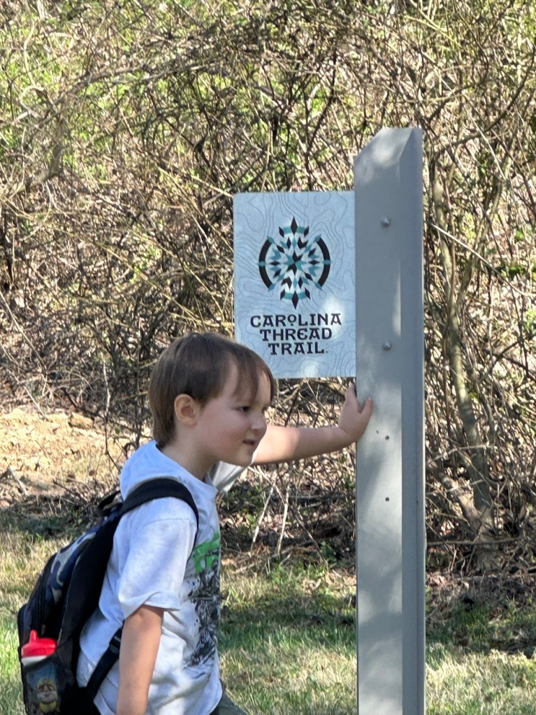
Persimmon Trail Carolina Thread Trail Daniel Stowe Botanical Garden Belmont, North Carolina Dirt “Road” Persimmon Trail Carolina Thread Trail Daniel Stowe Botanical Garden Belmont, North Carolina
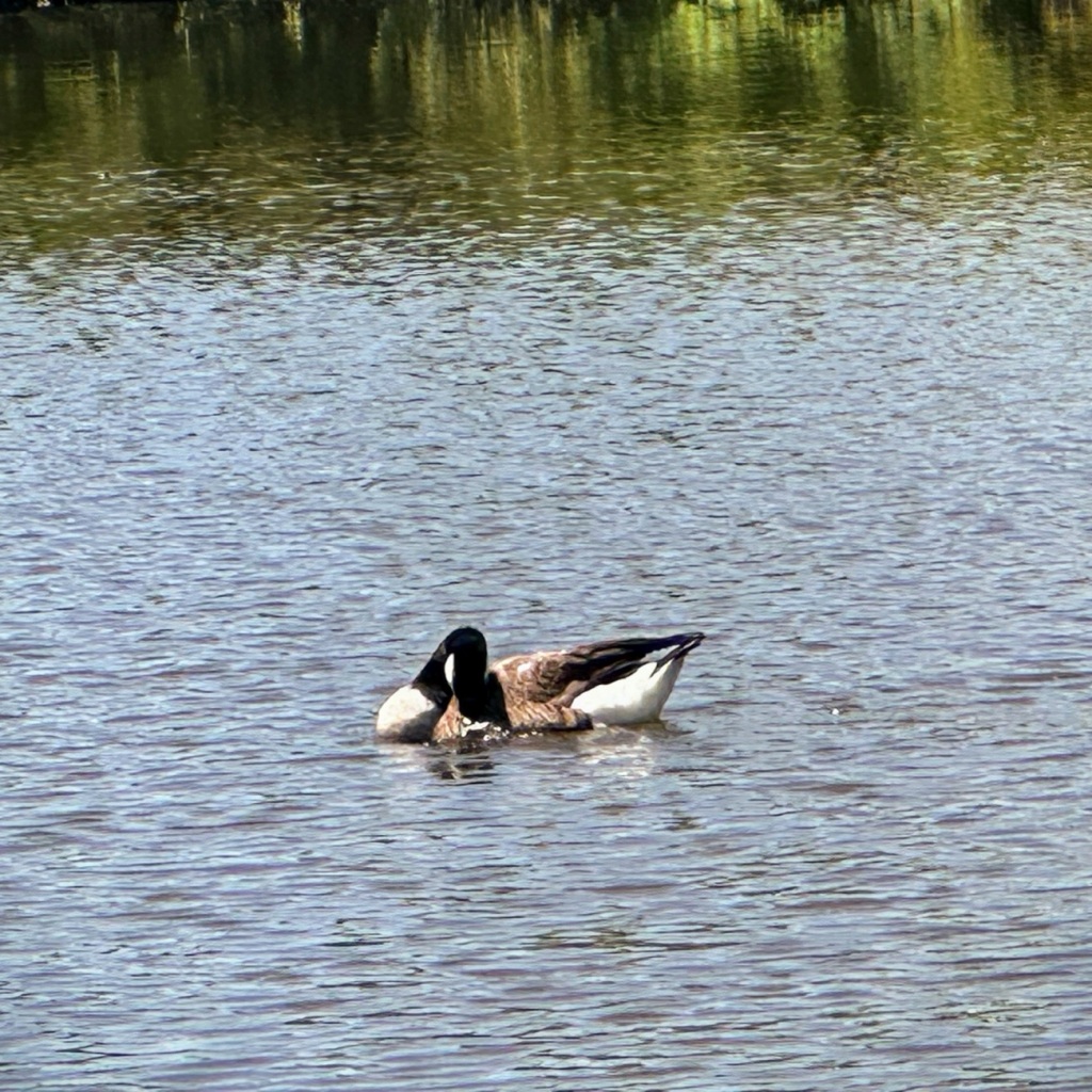
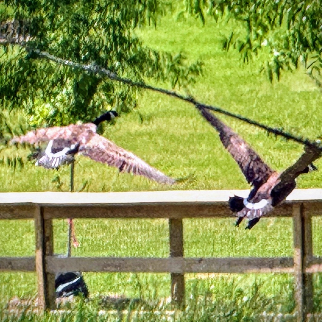
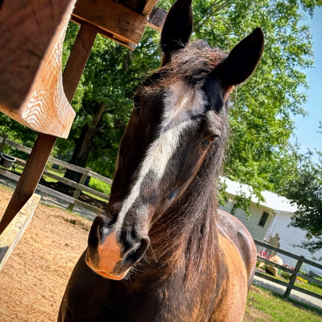
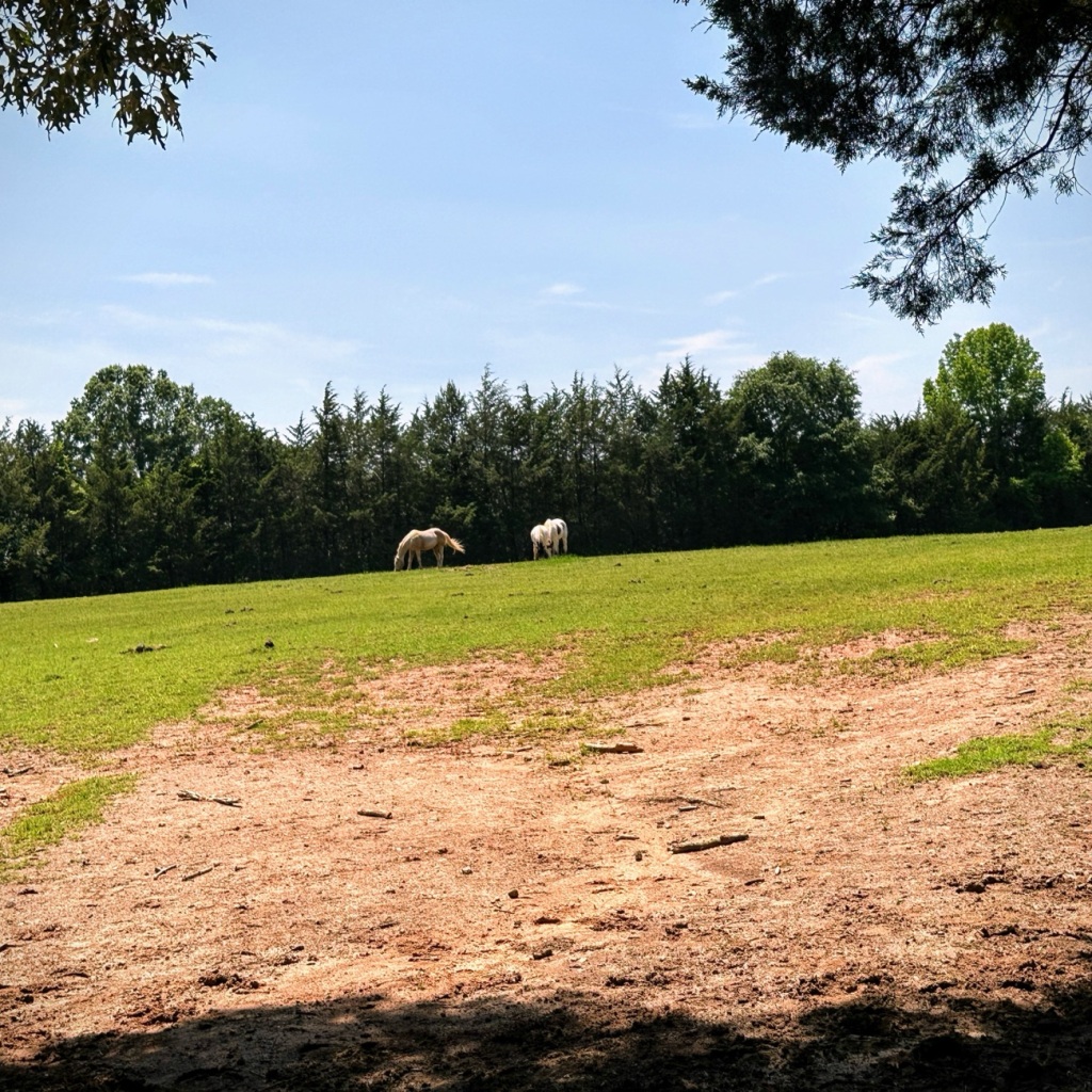
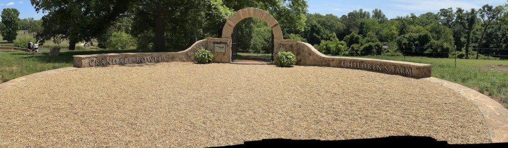
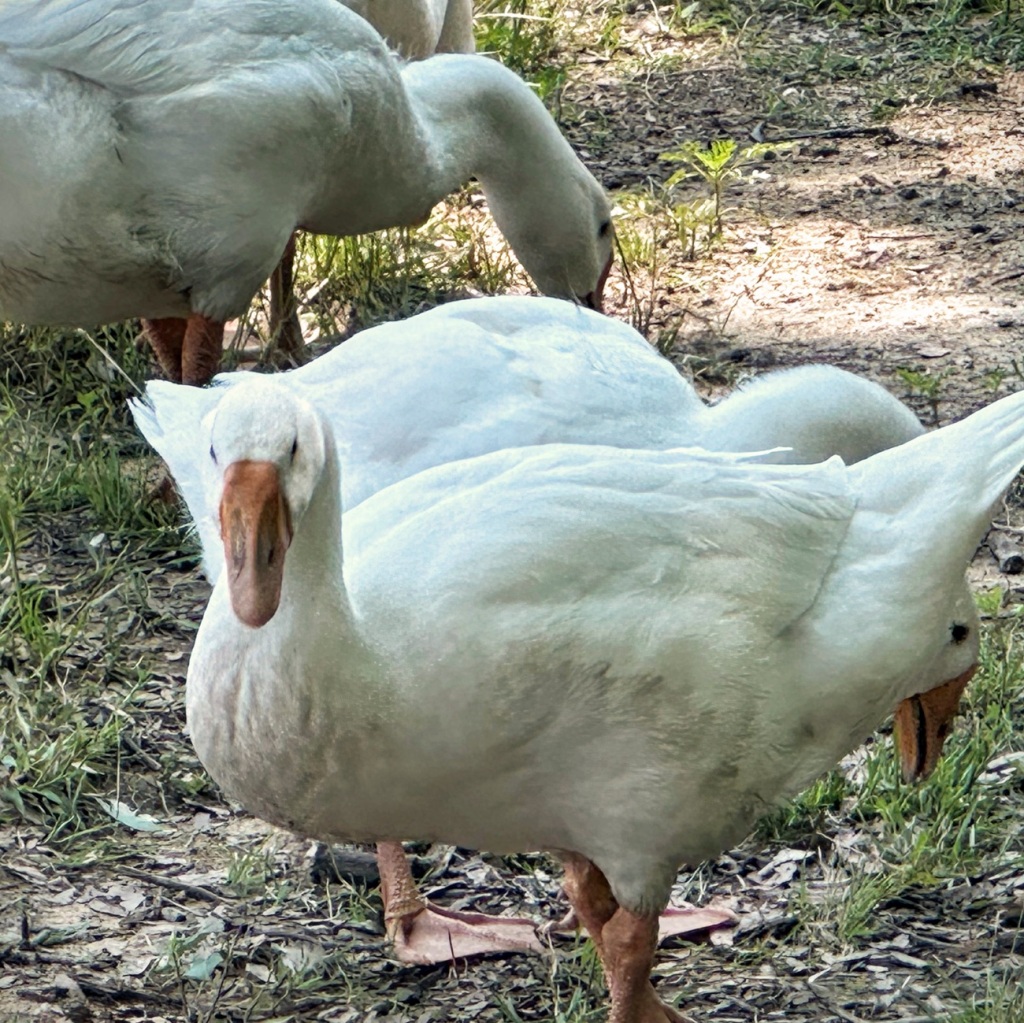
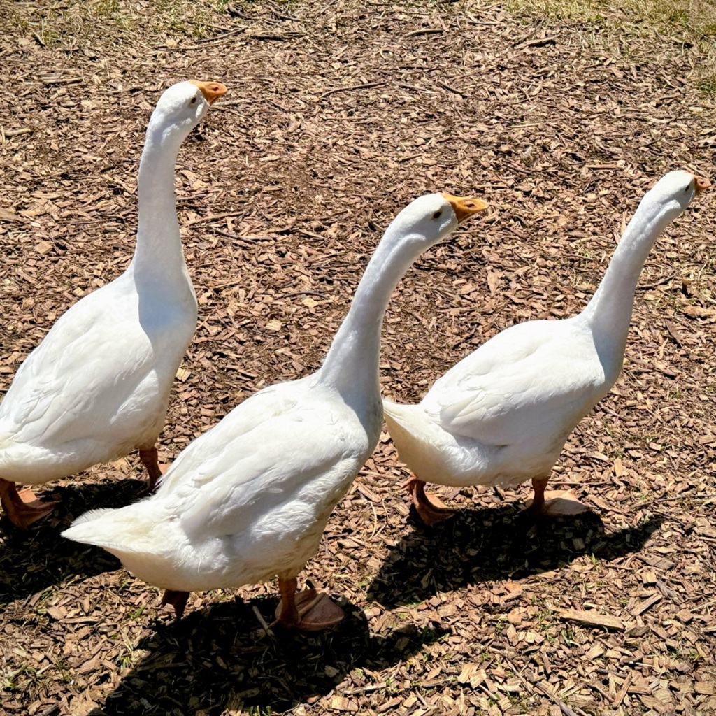
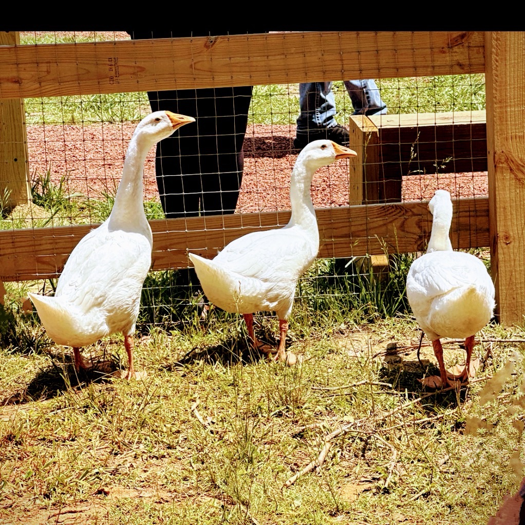
Crandall Bowles Children’s Farm Sign at Entrance Patterson Pond on the pathway to the Farm Animals Canada Goose Swimming in Patterson PondCanada Geese Flying away from the PondA Horse by the Greenway Stables Spotting a Couple of Horses in the Pasture
It just happened by chance that all my “143” photos were taken at Anne Springs Close Greenway. My grandson and I love moving forward along the trails and pathways enjoying a relaxing time surrounded by nature and the reconstructedChildren’s Farm.
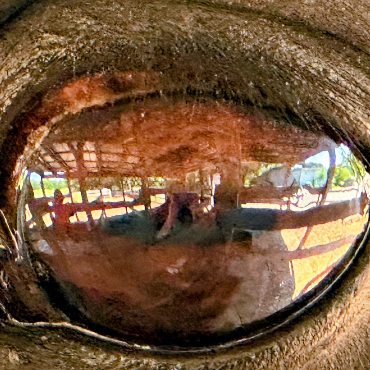
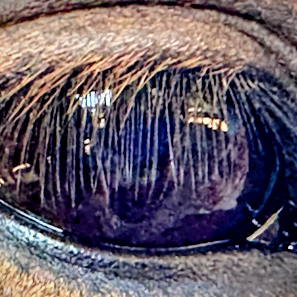
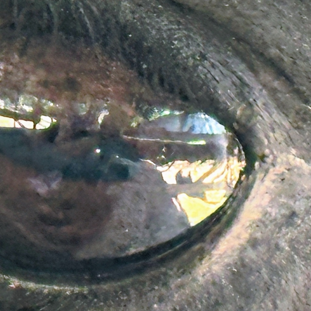
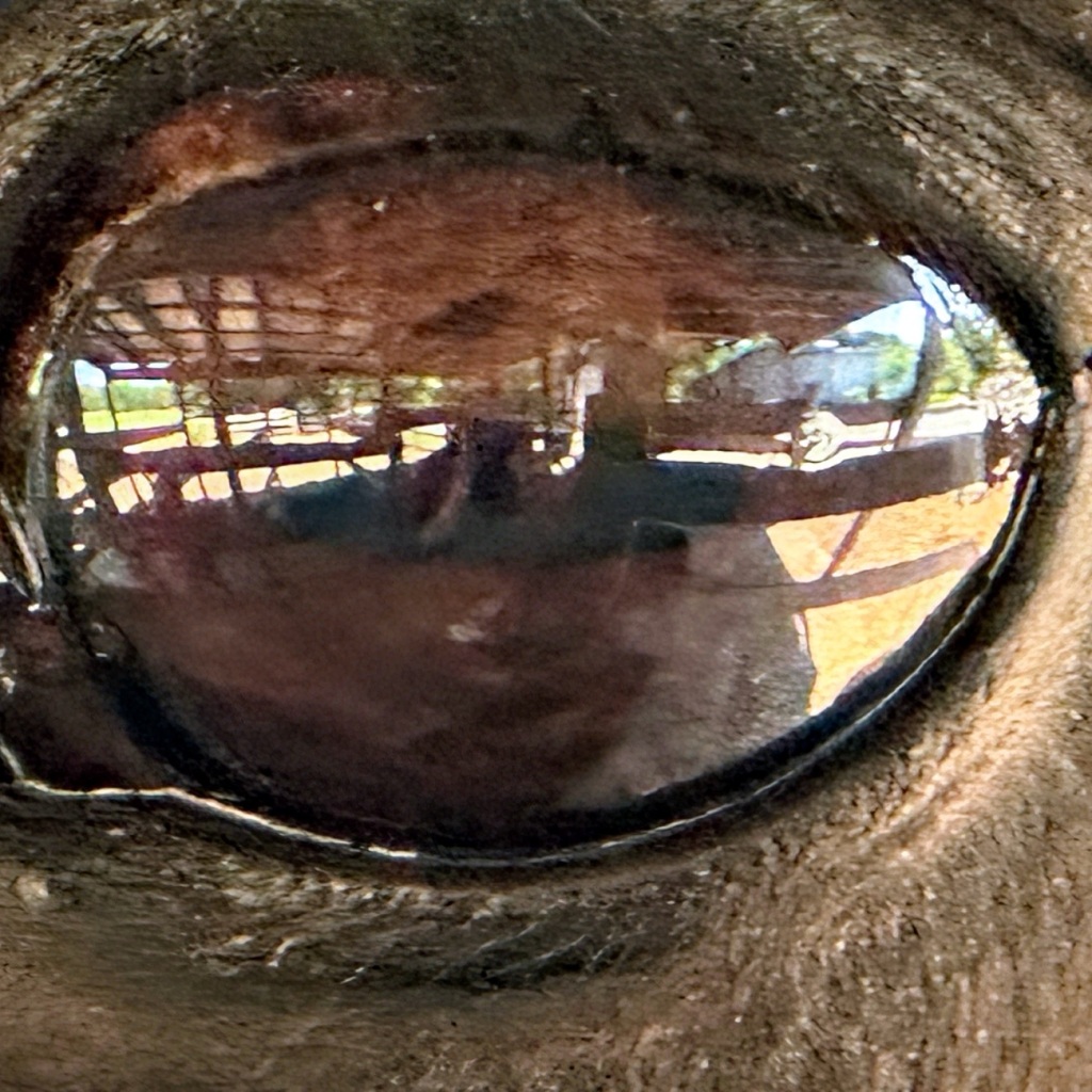
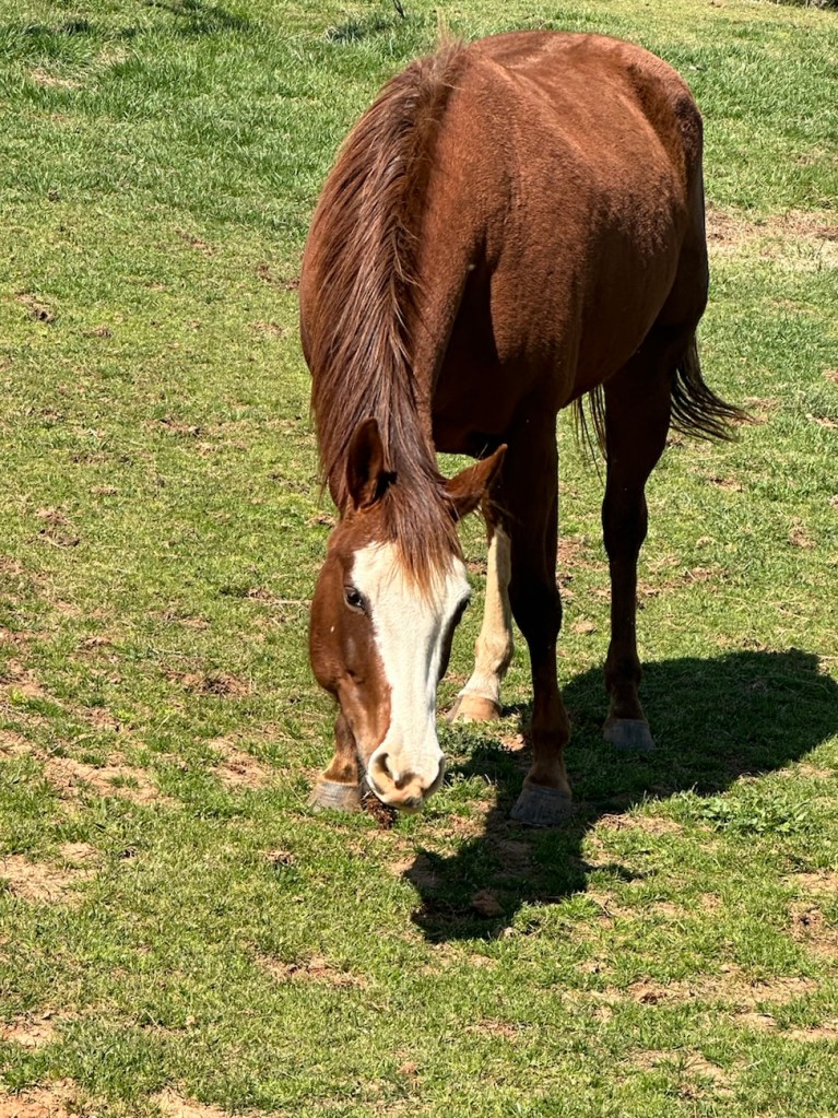
Do you think the eyes being the windows to the soul are only for humans? Have you ever really looked into a horse’s eyes? What do you see? One can tell a lot about a horse by looking into the eyes. You can see his/her strength, calmness, his playfulness, gentleness, and/or her steadfast heartbeat.
Do you see yourself in the horse’s eyes? Does the horse see you as playful, gentle, generous, knowledgeable. and a kind calm steadfast friend?
Horses can sense the type of person you are. They can tell whether you are frustrated, stressed, or irritable. They can also tell whether you are relaxed, calm, trusting, playful, and/or friendly. Horses can sense your mood and respond accordingly.
“The eyes are the mirror of the soul and reflect everything that seems to be hidden; and like a mirror, they also reflect the person looking into them.”
The horses my grandson, Cole, and I visit at the Greenway can sense our love for them. They respond to his friendliness and calm loving manners. Sometimes they approach much closer than we expect, knowing they will receive gentle loving attention and affection.
I see their strength, their gentleness, their trusting spirit, and their responsiveness to our hearts and our touch. I also see the reflections of the beauty surrounding them within the Greenway. I can also see the reflection of myself in their eyes.
You wanna See Me? Here I Am. Do you Like What you See?Monochrome Close-Up
This is one of several Alpacas 🦙 in the Crandall Bowles Children’s Farm. As you might can tell, he is not afraid of getting close to visitors. He would welcome your visit if you were ever in his neighborhood.
Location: Greenway Stables Entrance; Anne Springs Close Greenway; Fort Mill, South Carolina, USA
God Bless. Sending y’all my birthday wishes of happiness, good health, peace, and an abundance of love throughout 2024 and beyond. Thank you for visiting and sharing your time and thoughts with me. I appreciate y’all very much.
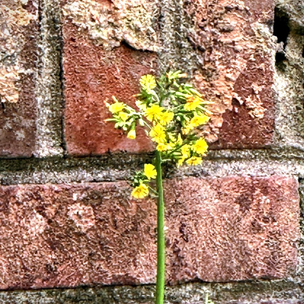
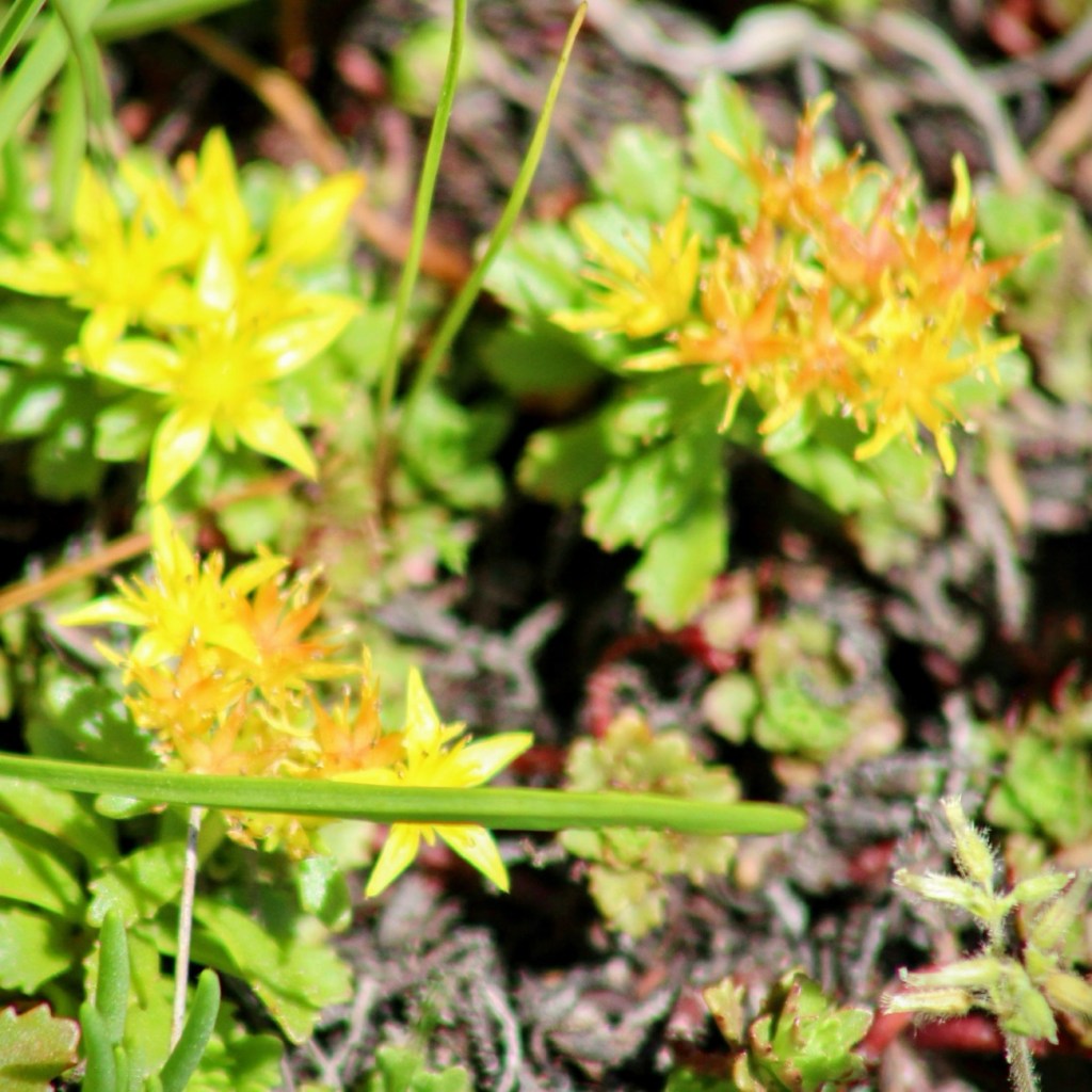
I’m not sure if these are actually Cobalt Blue or not, but they’re the closest I have for this month’s color challenge for Terri’s Sunday Stills.
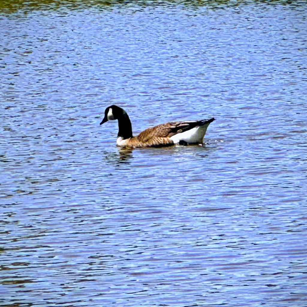
Here’s looking at the Blue Sky as we begin hiking on Dogwood Trail. Another day, another beautiful blue sky When we hike around Patterson Pond we spot a Canada Goose swimming in the Blue Waters.This is one of the views we saw when we were searching the skies for the Northern Lights.
Luckily we had a beautiful sunny day on Sunday which enabled me to capture plenty of signs, and shots with words in them as Cee’s CMMC – Pick a Topic from my Photorequests us all to post.
Our visit to Anne Springs Close Greenway is extremely accommodating in the aspect of Signs and various Objects with Words.
Signs can be found all around the Reconstructed Children’s Farm ..,
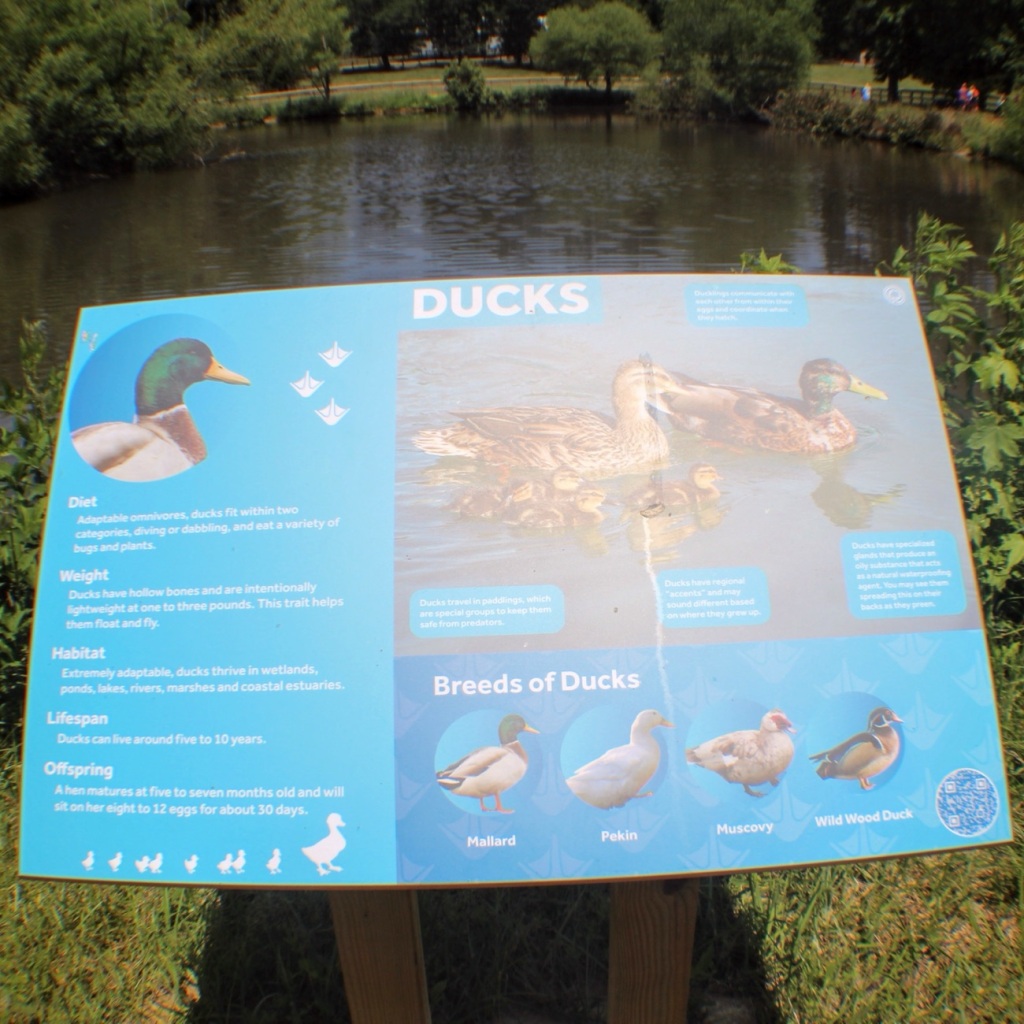
Ducks Signage by Patterson Pond
Along all the various Trails …
Trail Signs
In front of buildings such as The Hangar …
The Hangar
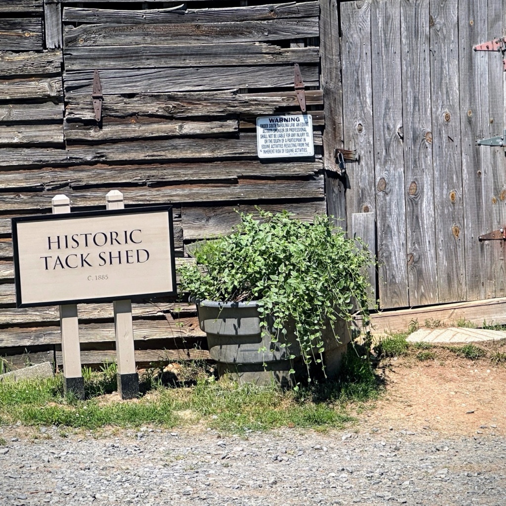
Or on and in front of an Historic Tack Shed …
Historic Tack Shed
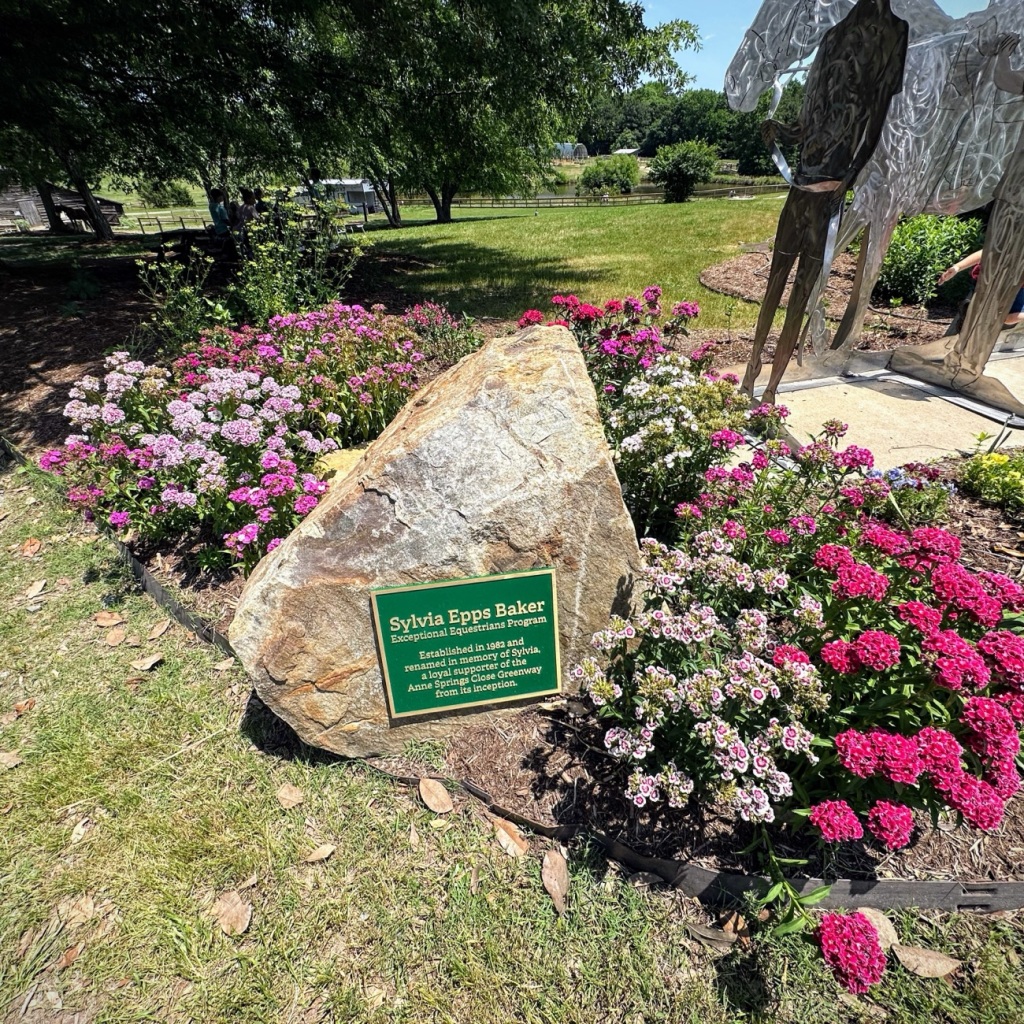
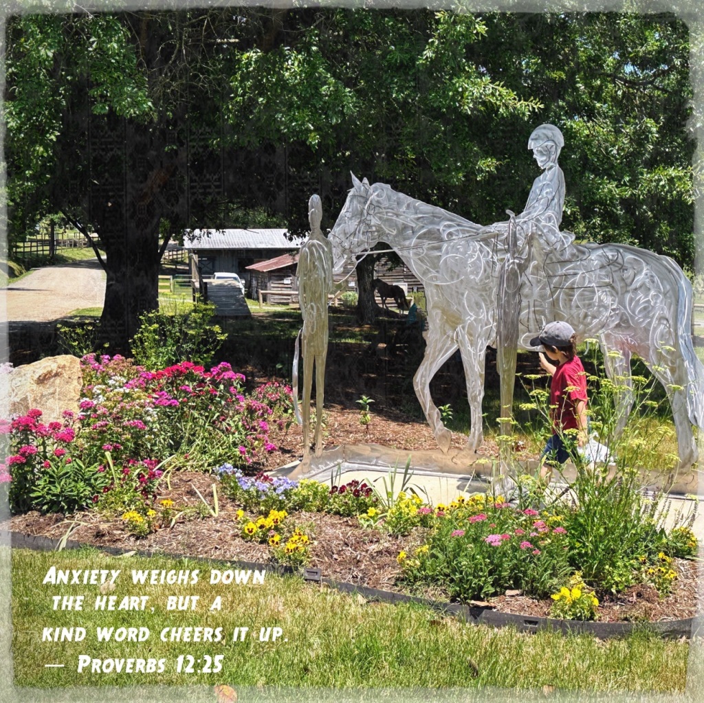
And even in a flower bed informing everyone about the Sylvia Epps Baker Metal Sculpture.
Can you believe it? We are half through the month of May and one-fourth (1/4) of the way through twenty twenty-four (2024). It is already time for another ofClare’s Share Your Desktopwhere Clare asks us to share our desktops/wallpaper either from our desktop, laptop, tablet, or smartphones.
Now it’s my turn to share my desktops/wallpapers with you. First up is from my iPhone followed by my laptop.
From my iPhone 14 Pro Max:
Personal Focus
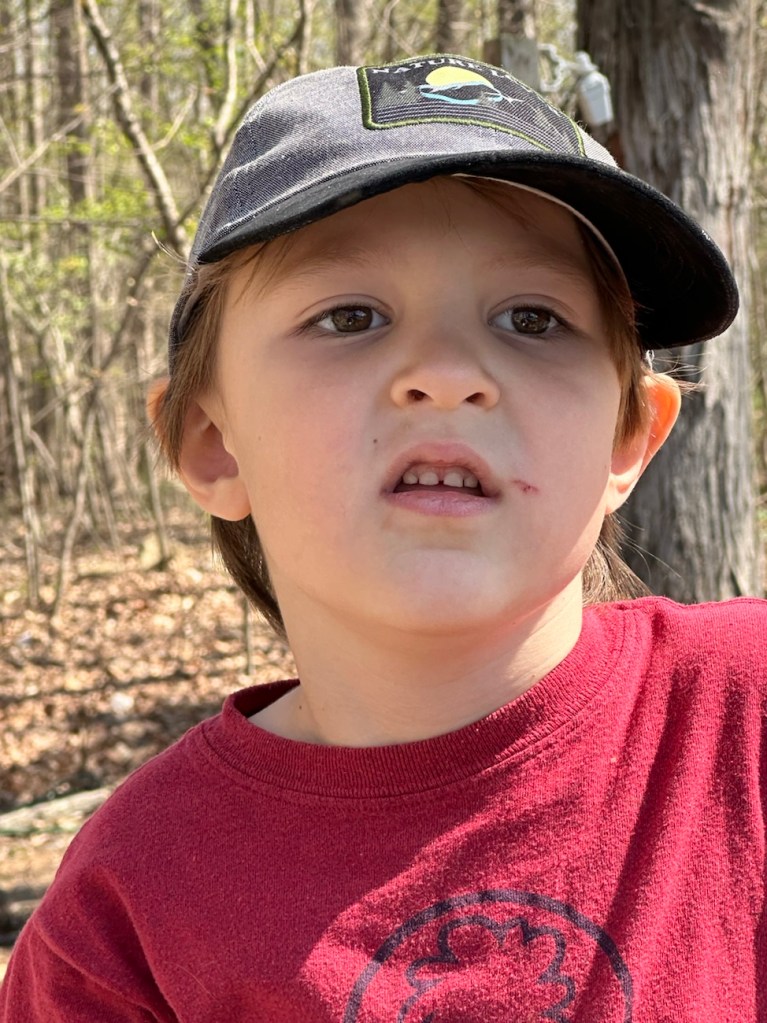
Coleman
Hiking Focus
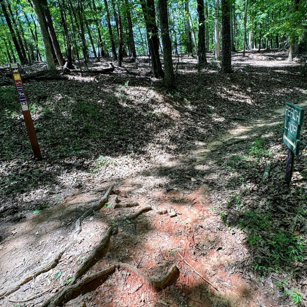
Coleman at a crossroads between Dogwood, Timberline and Peach LoopTrails
Reading Focus
Lake Haigler Anne Springs Close Greenway
From my HP Laptop:
Screensaver Wallpaper
Coleman
Desktop
Horses at Dairy Barn Entrance Anne Springs Close Greenway
Getting out in nature always helps to renew my mind, refresh my spirit, and rejuvenate my soul. This view is from the side porch of the Gibson House.
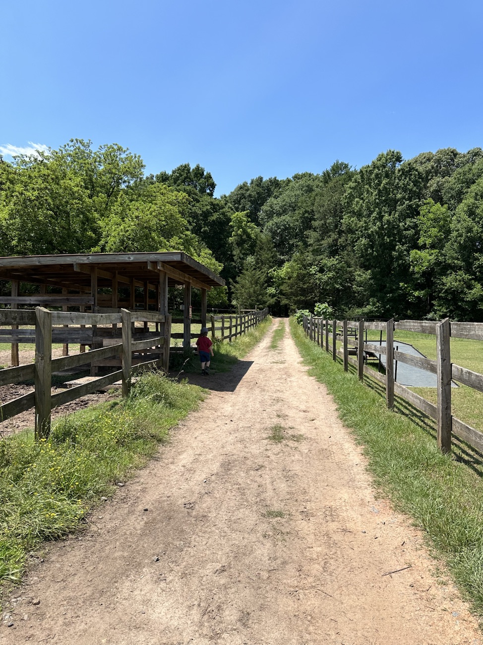
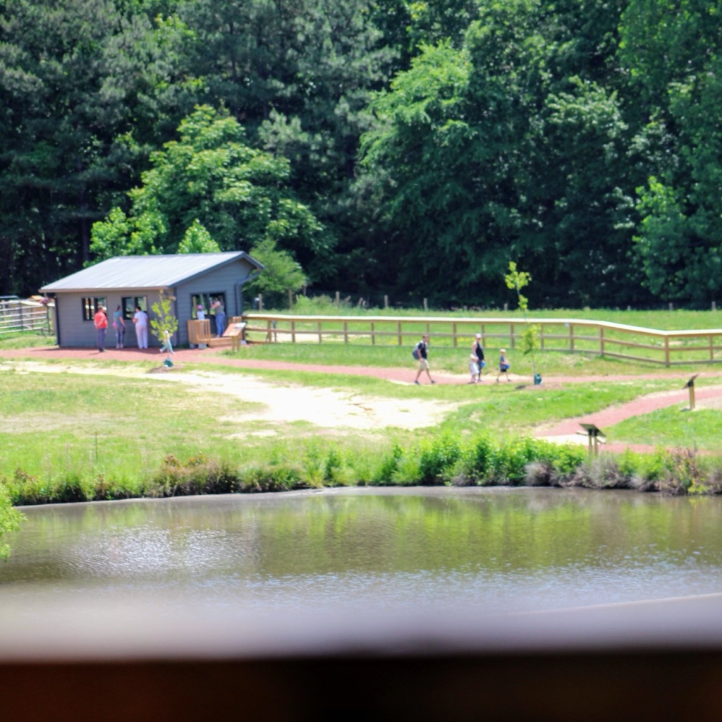
On Sunday, Coleman and I drove into Fort Mill to visit the newly renewed and reconstructed Crandall Bowles Children’s Farm at the Anne Springs Close Greenway. The newly reconstructed children’s farm is accessible through the Greenway Stables Entrance. We are moving forward ( I know you can’t see our movements, but you can imagine them) to visit the Farm animals (chickens, rabbits, alpacas, and cattle.)
After visiting the farm animals, Coleman and I went back to the car to grab our snacks and put my backpack in it as my camera battery had died. So then I continued taking photos with my iPhone as we proceeded to Move Forward through the horse stables on towards the trails for a bit of hiking. We hiked along on the Dogwood Trail, made a loop onto Peach Loop to watch out over Lake Haigler before heading back to the car and home.
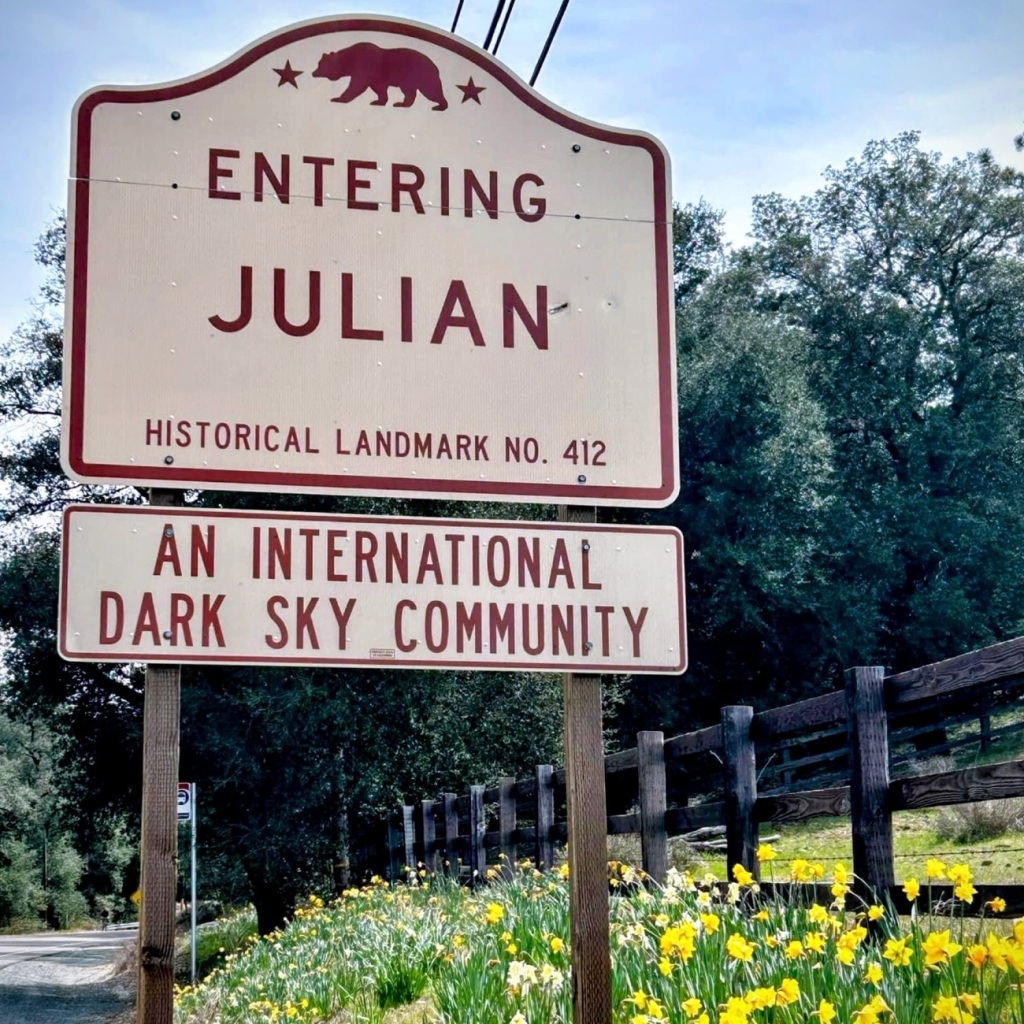
While gazing out over Lake Haigler, I reminisced for a short while remembering a time of apple picking, fresh apple cider, and fresh bread with a dollop of fresh homemade apple butter in Julian, California.
Now that I have your mouth watering for the delicious delightful aroma of fresh homemade apple delicacies, I trust you’ll have a wonderful rest of your weekend and a blissful weekend.
Location: Horse Stables; Greenway Stables Entrance; Anne Springs Close Greenway; Fort Mill, South Carolina, USA
God Bless. Have a fabulous rest of your week. Enjoy the Outdoors. Thank you for visiting and sharing your time and thoughts with us. I appreciate y’all very much.
Sylvia Epps Baker Exceptional Equestrians Program Established in 1983 and renamed in memory of Sylvia, a loyal supporter of the Anne Springs Close Greenway from its inception.
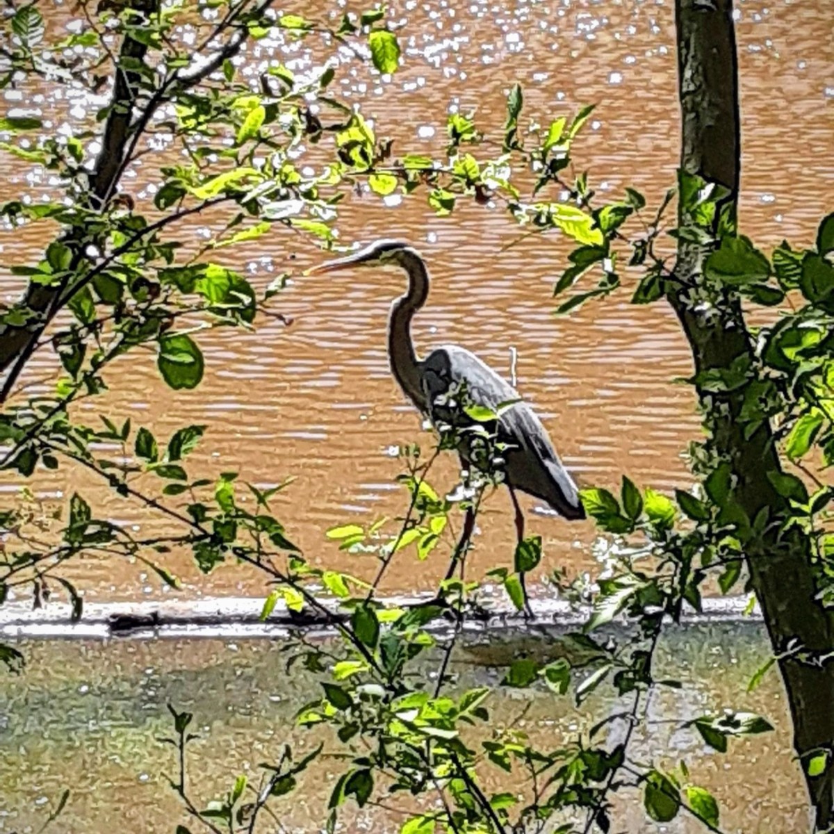
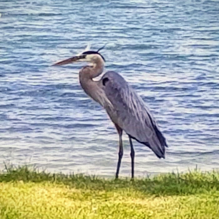
The Great Blue Heron (Ardea herodias) can be spotted around ponds and lakes. I normally see them around the smaller lakes and ponds in and around Anne Springs Close Greenway.
Great Blue Herons can hunt during the nighttime as well as during the day. Interestingly they have a high percentage of rodents-type photoreceptors in their eyes that improve their night vision. They congregate at fish hatcheries, creating potential problems for the fish farmers.
Ardea herodias Great Blue Heron Anne Springs Close Greenway
The Great Blue Heron is a majestic sight to behold. Its subtle blue-grey plumage frequently stands motionless as it scan for prey or wades belly deep with long, deliberate steps. They may move slowly, but Great Blue Herons can strike like lightning to grab a fish or snap up a gopher. In flight, look for this widespread heron’s tucked-in neck and long legs trailing out behind.
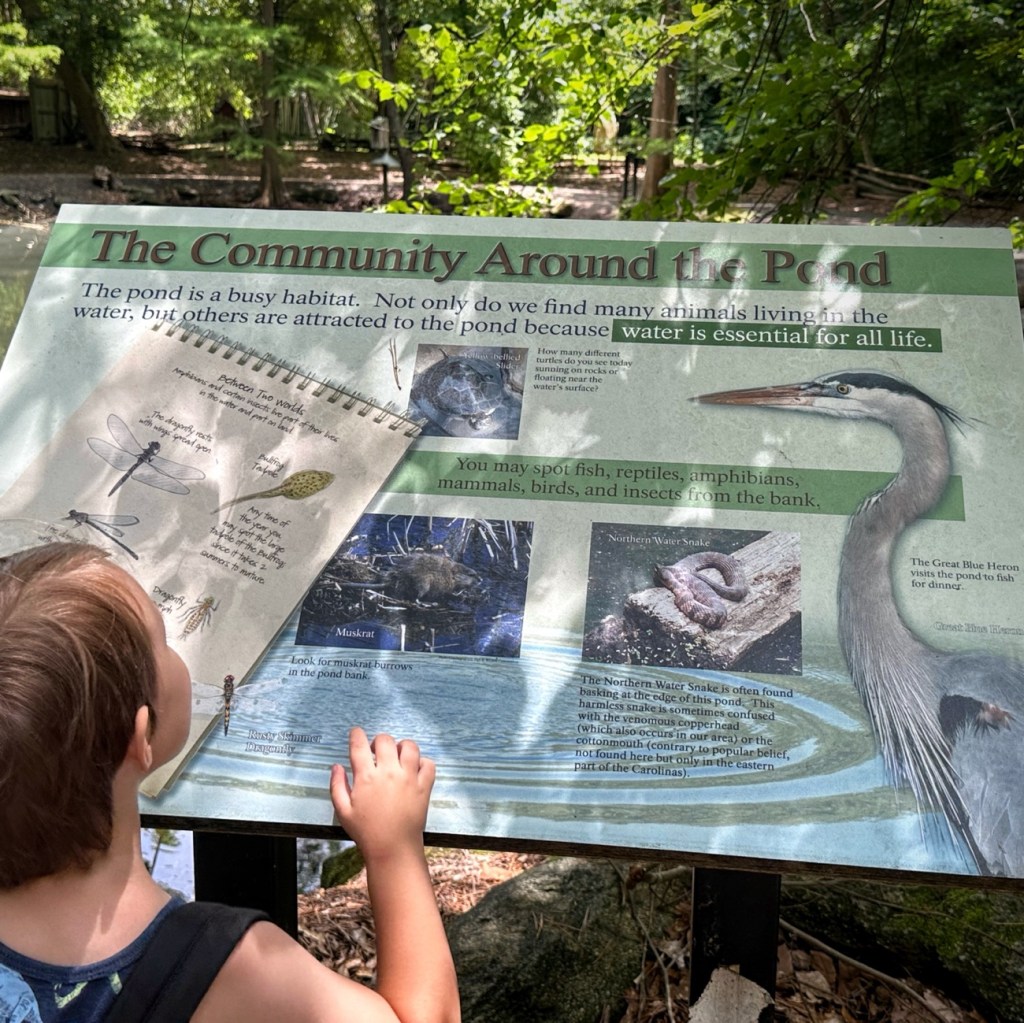
Informational Sign includes The Great Blue Heron The Schiele Museum of Natural History
Did you know that the Great Blue Heron is often seen as a symbol of patience? This I had not previously heard or known. Several Native American Tribes look at the heron as a symbol of patience and good luck. On the Northwest coast, people believe that if Native American fishermen spot a heron, it means good luck is with them, and they will have a successful fishing trip.
I have always considered the Great Blue Heron to be an amazing bird to observe. I did not ever realize that they were considered symbols or omens if you saw them. Evidently they are though.
In China, the Great Blue Heron represents strength, purity and long life. According to Native American tradition the heron symbolizes wisdom and good judgment. In ancient Egypt the heron was a symbol of creation while in Africa and Greece the heron was a messenger of the gods. Watching a heron fish also instructs us in patience.
Another interesting note regarding the Blue Heron is that it is believed to symbolize being calm, presence, being at peace, uniqueness, and balance. When seeing a Blue Heron one should take a moment to look inside yourself and consider nurture all aspects of yourself. Embrace who you are; your flaws (your weaknesses), your uniqueness, and ever your feelings of shame with self-love.
God Bless. May you have strength, purity, patience and long life. Take care of yourselves and have a fantastic rest of your week. Thank you for visiting and sharing your time and thoughts with me. I appreciate y’all very much.
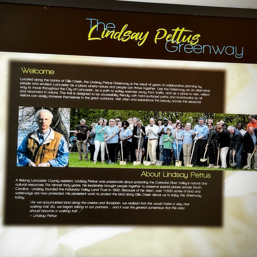
The forward thinking of concerned citizens, volunteers, business partners, and in partnership with the Katawba Valley Land Trust; the ideas, planning, and reconstruction of certain areas into a Greenway of trails in Lancaster began to develop beginning in 2014. The Greenway includes numerous pedestrian connections with linkages to residential, commercial, and local school properties, trail heads, and nature centers, bridge crossings, and sidewalk improvements.
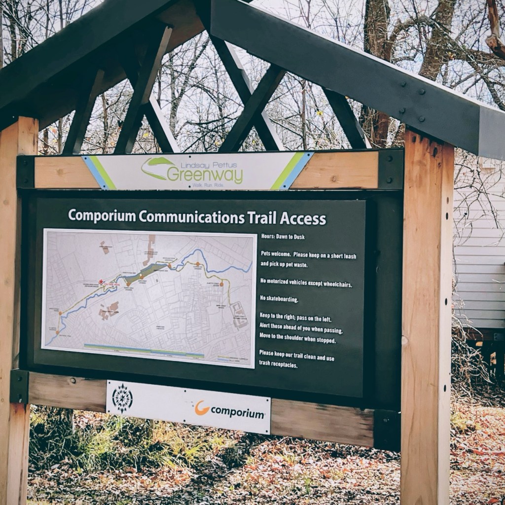
Comporium Communications Trail Access is the starting point for Coleman’s and my hike along the first phase of the Greenway’s Master Plan. The first phase of the Reconstruction of Land in Lancaster was completed in 2019. Our hike took place in February of 2022.
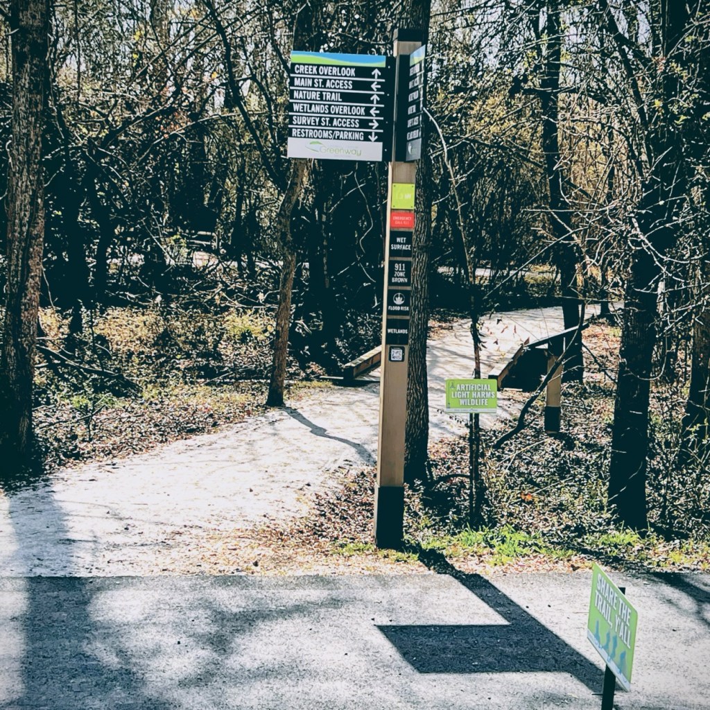
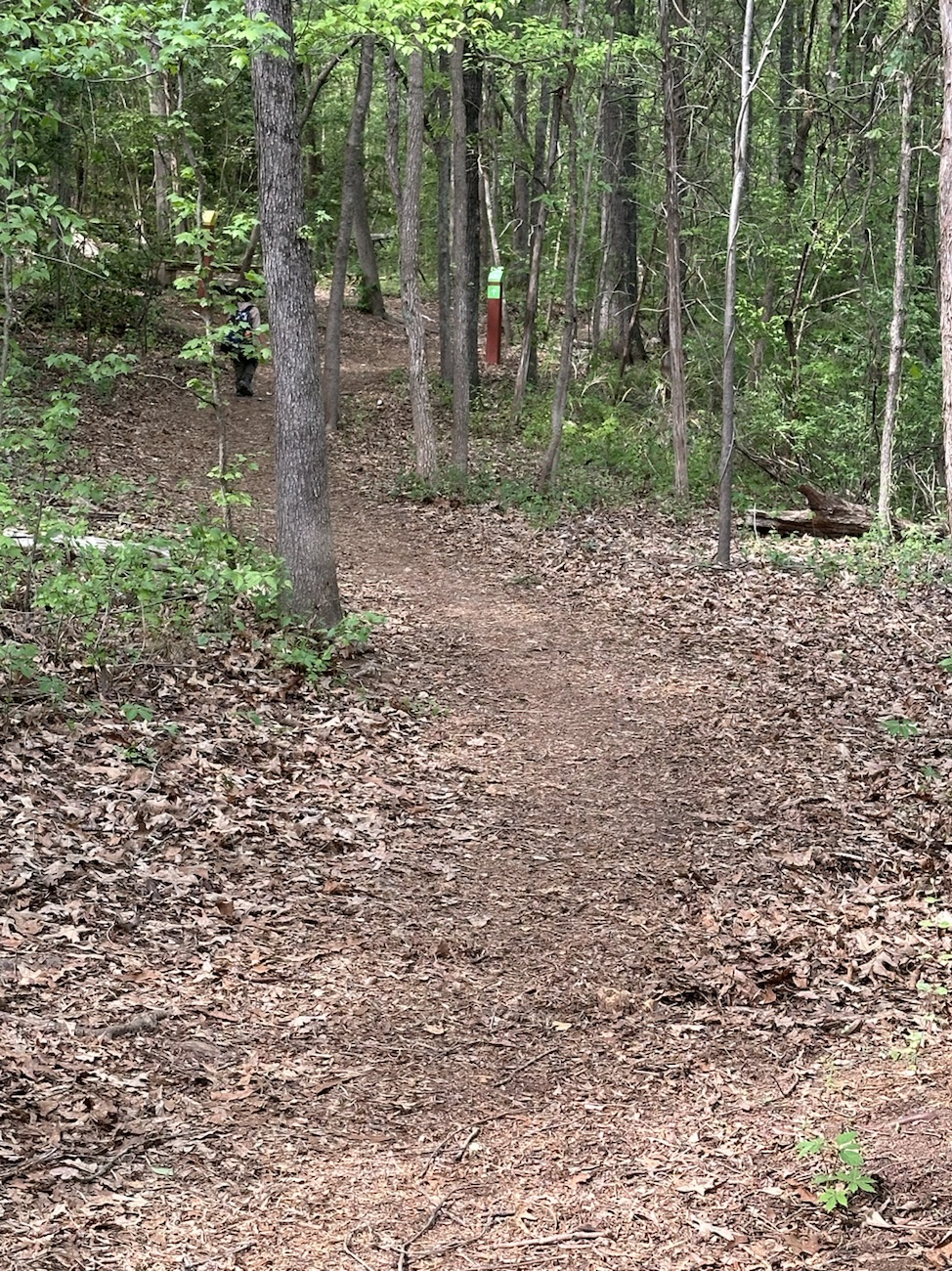
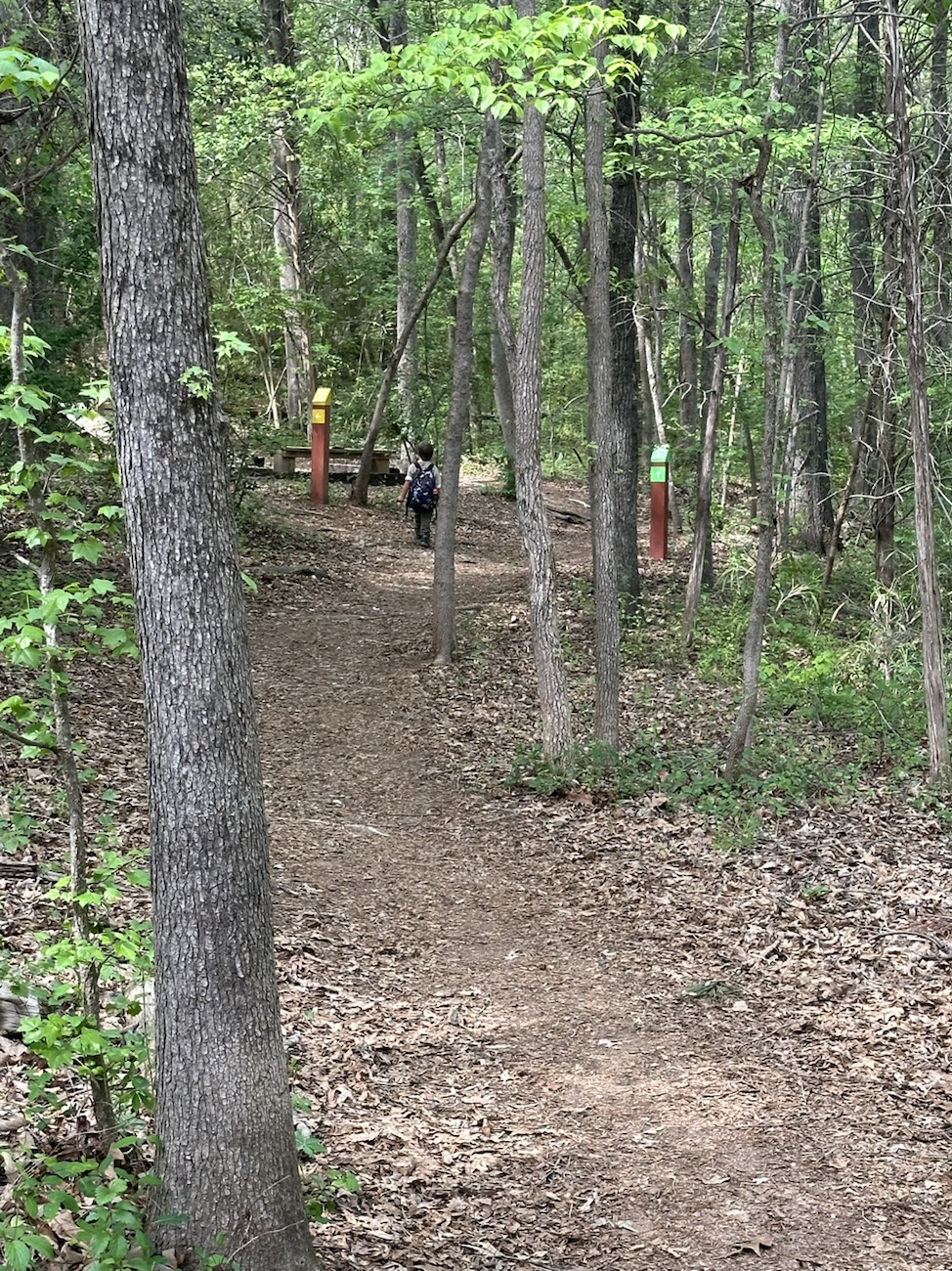
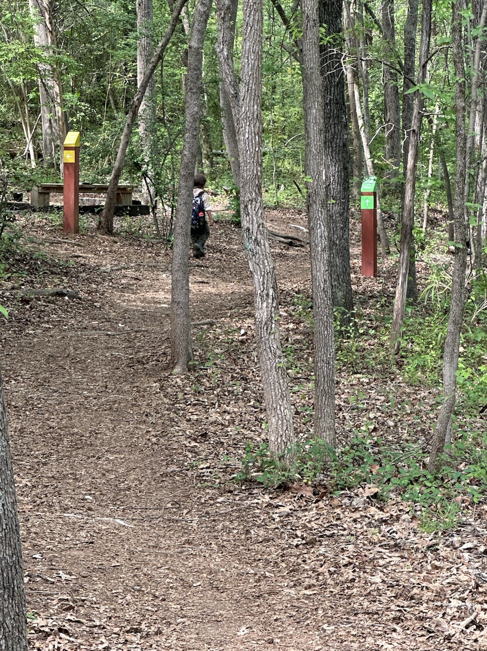
As we moved forward in our adventure, we encountered several informational signs which were a tremendous help in guiding us as we moved forward along the Greenway.
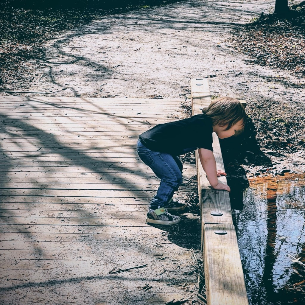
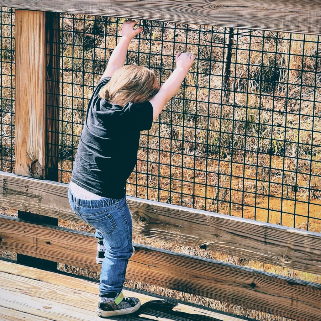
Coleman and I decided to move forward together along the nature trail towards creek overlook and eventually the Wetlands Overlook.
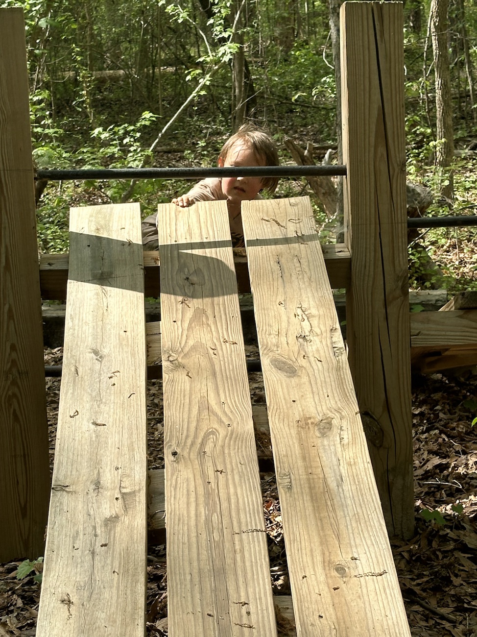
Here Coleman takes a minute to look out over the bridge at the creek below.
Coleman can’t resist climbing on the bridges railing at this next point or interest.
Informational Signs are located strategically throughout the Greenway. This particular one gives information about out the Lindsay Pettus Greenway and Lindsay Pettus himself.
The forward thinking of Mr. Lindsay Pettus and the many volunteers ensured the Greenway is and will continually be accessible to everyone regardless of their mobility needs.
Cee’s Fun Foto Challengewas is a weekly themed challenge where Cee asks everyone to search through their photos and post photos they feel meet the criteria of the week’s current theme. This week Cee is challenging everyone to post photos of Locks, Keys, Knobs, and Handles.
My interpretation of this week’s challenge I know is different from what you might expect, but then again it is my insight for this challenge regarding Locks, Keys, Knobs, and Handles where I am focusing on Locks.
The Upper Lifting Locks Landsford Canal State Park
The land along the Catawba River, now apart of Landsford Canal State Park, played a vital integral role in the lives of the surrounding inhabitants for over a thousand years. It was used by the native people like the Catawba as a ford to cross the river, a long long time prior to Tomas Land acquiring the land in 1754.
The Ford’s importance as a river crossing was extremely significant during the American Revolution when it was used as a staging ground by Patriot general Thomas Sumter before the battle of Hanging Rock. The British Army under Lord Charles Cornwallis also used the ford as they withdrew from Charlotte after the Battle of Kings Mountain.
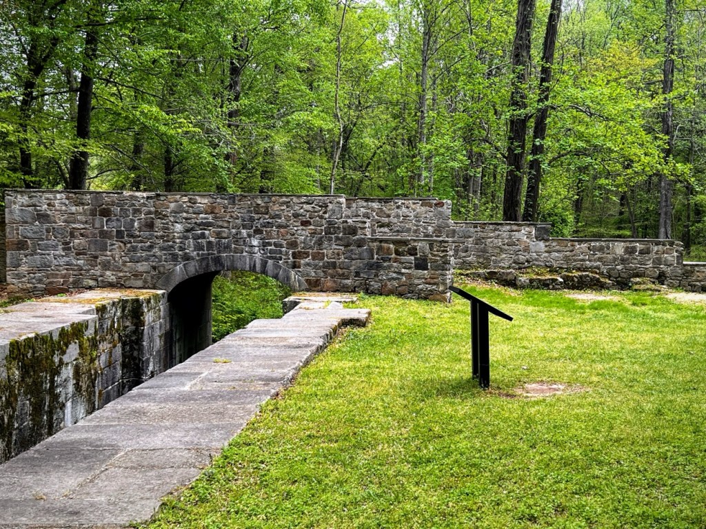
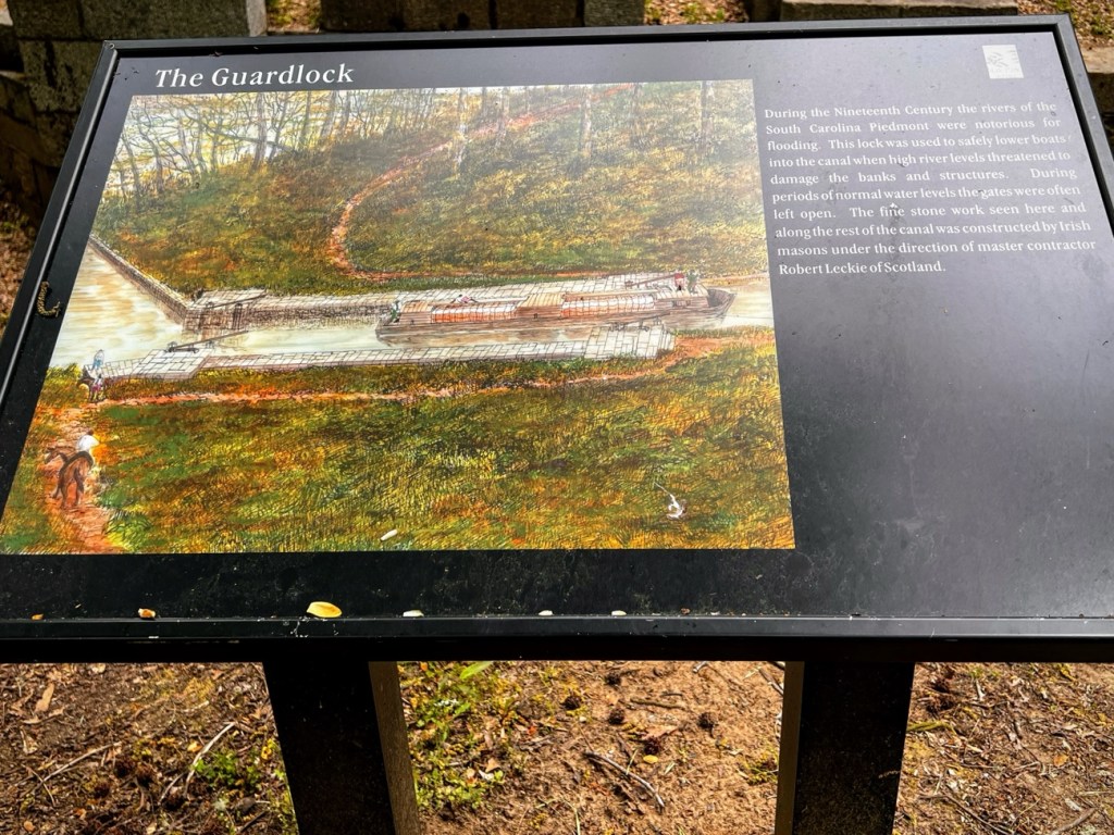
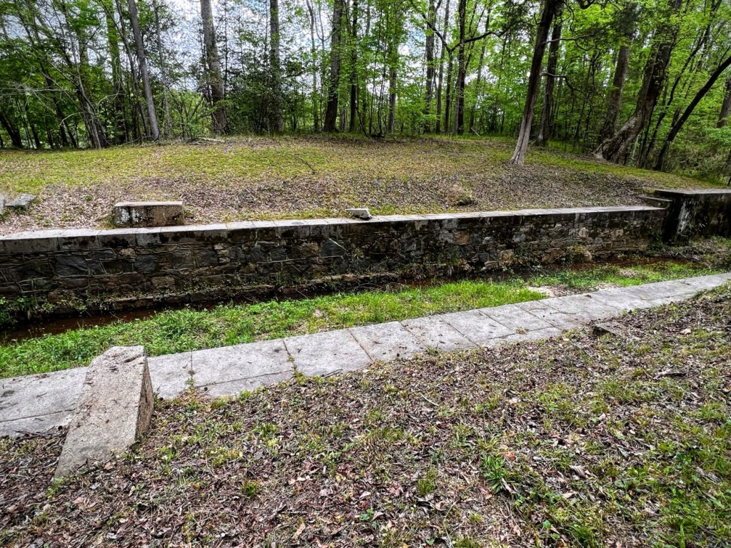
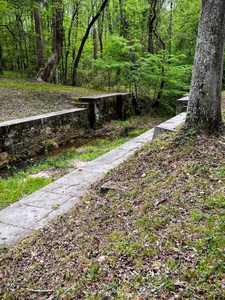
The Guardlock. Landsford Canal State Park
After the War of 1812, the Port of Charleston lost its significant importance to the Port of New Orleans. In an attempt to revitalize the port, projects were undertaken around the state to improve the ability of moving freight to and from the port and within the State of South Carolina.
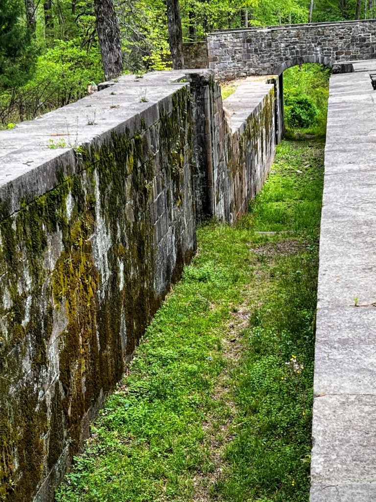
One of those projects included constructing a series of four canal. The Landsford Canal construction was the last and northern most in the canal system. It was built under the supervision of Scotsman Robert Leckie by both Irish Masons and the local enslaved population. The Canal ran approximately two (2) miles along the Catawba River at its most treacherous point.
The Canal required a total of four lifting locks and a dread lock for the thirty-two feet of descent along its length. It was completed in 1823, was twelve feet wide, ten feet deep, and two miles long. Five locks raised and lowered barges through the thirty-two-foot fall of the river. Three bridges crossed the canal, and six storm culverts carried streams underneath it.
Today, Landsford Canal is the last of the Catawba River Canals and still accessible as well as one of the last in the entire state. The remains of the Canal still visible are the earthen walls of its upper side, four lifting locks and a dread lock. None of the bridges still remain, but the stone foundations are still intact. Ruins of stone culverts and retaining walls still stand in their original locations. The Canal Trail runs along the ruins of the old canal. Hiking the 1.5 mile length you can see the diversion dam in the Catawba River, The dead Lock upstream that let water into the canal, and the Lifting Locks near the south entrance. Along the way you can also see the ruins of much of the stone work and retaining walls. Interpretive signage points out major points of interest.
In Early May hundreds of visitors flock to Landsford Canal State Park. The majority of them are more interested in seeing the Rocky Shoals Spider Lilies. I have hiked the entire length of the nature trail and found the historical signage interesting and informative.
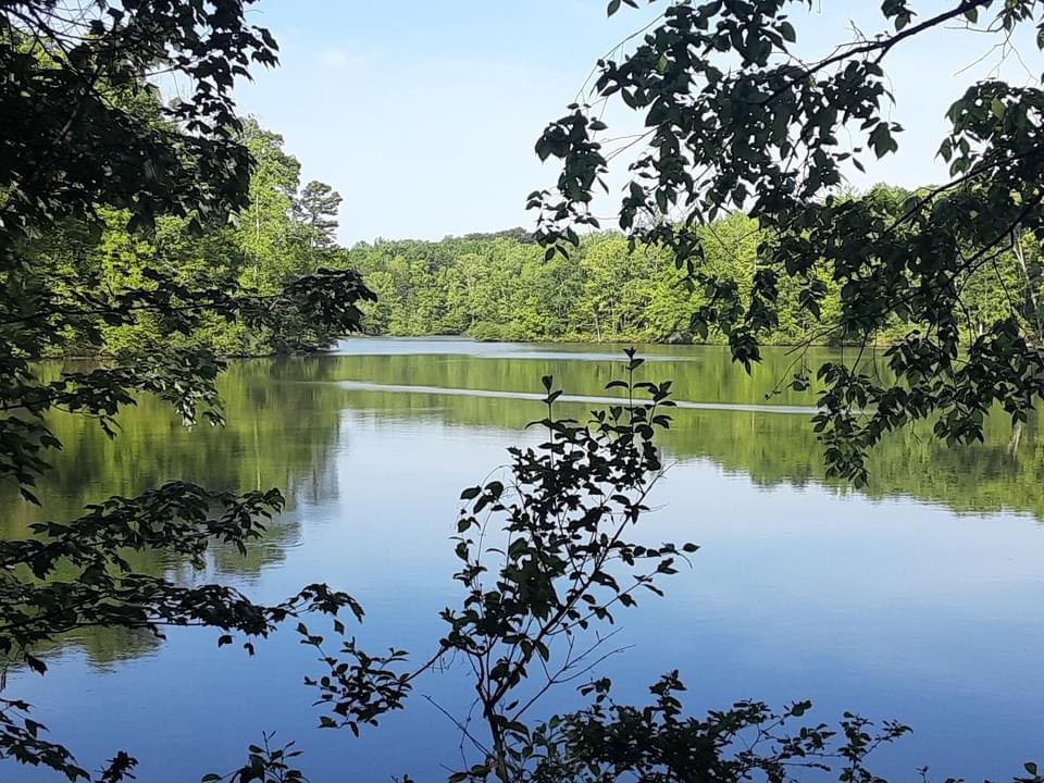
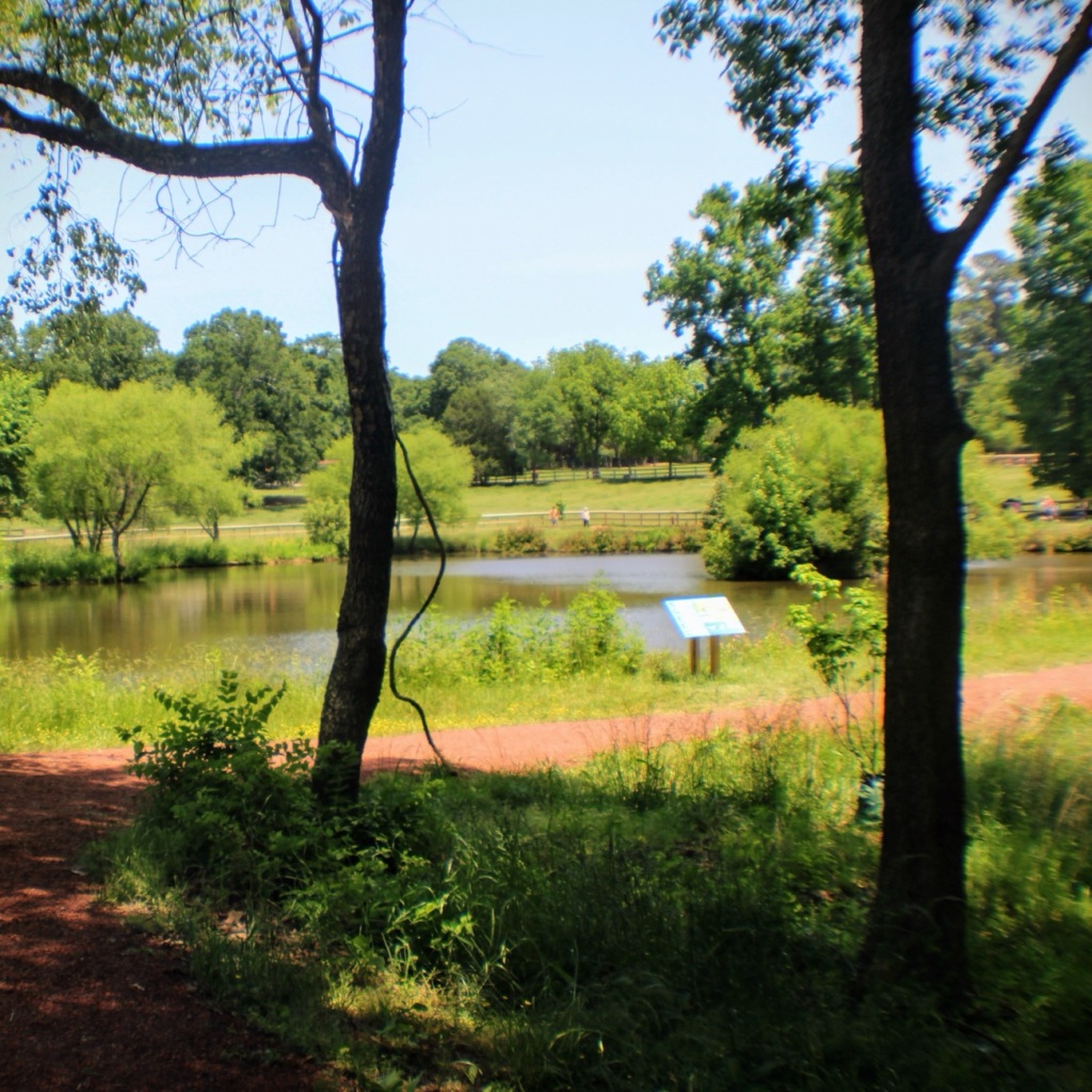
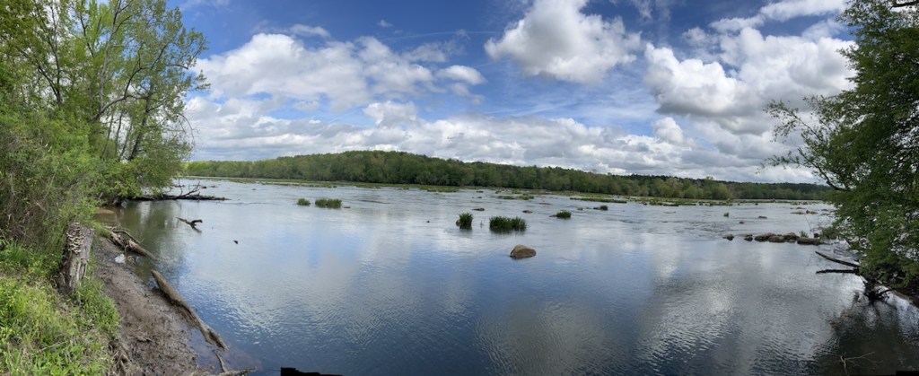
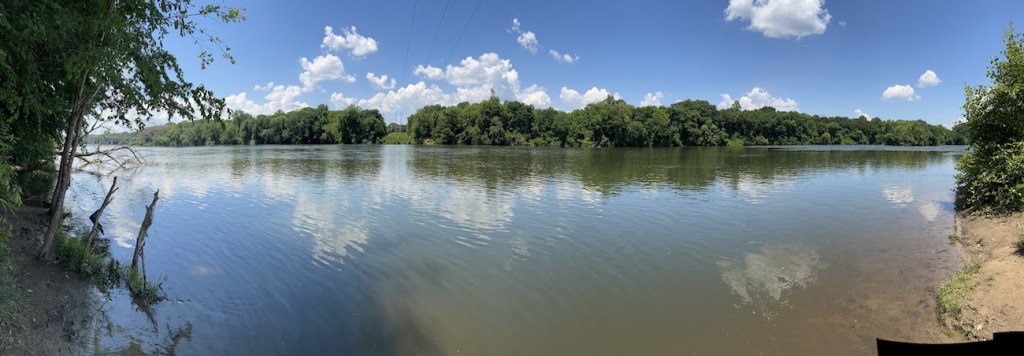
Lake Haigler is one of the most favourite areas for hiking and fishing at the Greenway. Love to see the many beautiful views and reflections around the Lake.
Patterson Pond
This previously unnamed Pond has recently been given the name of Patterson Pond. It is located at the Children’s Farm accessible from the Greenway Stables Entrance. Beautiful day for observing amazing reflections.
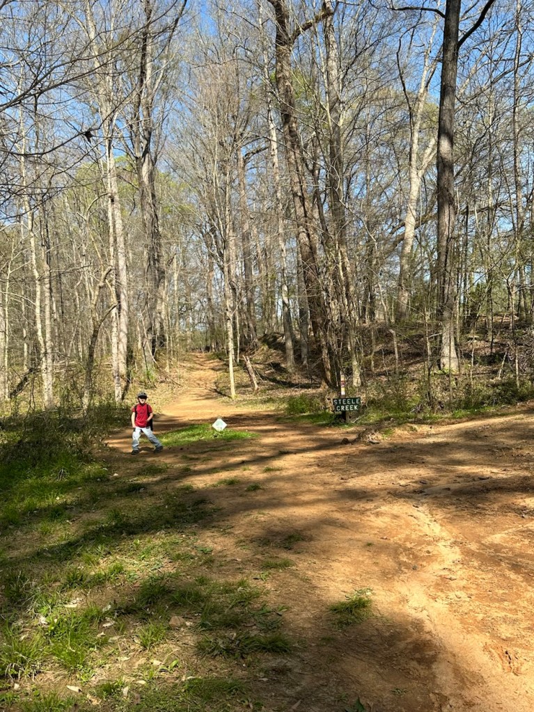
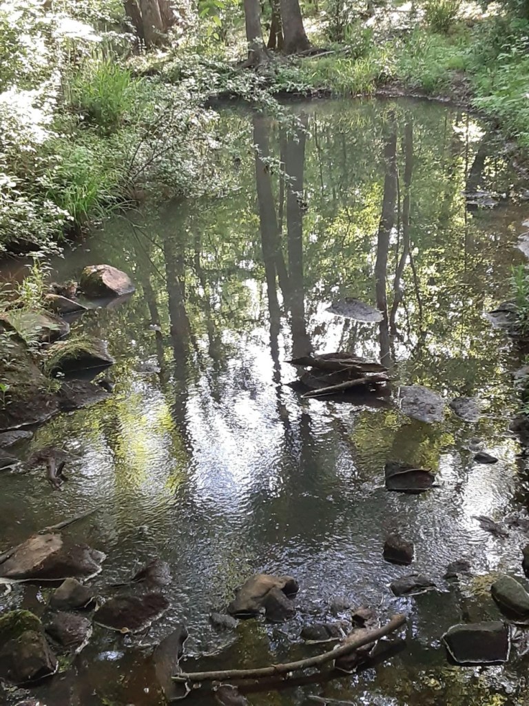
Steele Creek
Steele Creek can be seen from several of the Greenway trails while one is hiking. Here you can see the shimmering ripples and the beautiful reflections of the trees.
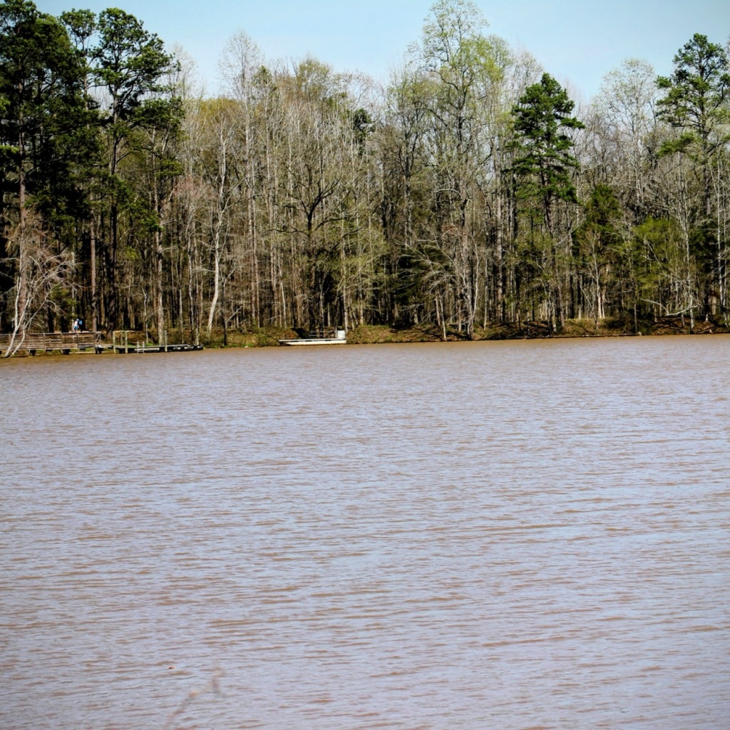
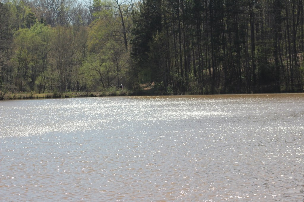
Lake Haigler
Lake Haigler is a 28-acre lake in the Anne Springs Close Greenway. It was built in 1952 by Colonel Elliott W. Springs. It was named for a great Catawba Indian King.
The Lake is periodically restocked with Largemouth Bass, Bluegill, Shellcracker, and Channel Catfish.
The Lake Haigler Loop is a 3.3 mile pedestrian-only loop which wraps around the 28-acre Lake Haigler. It is generally considered an easy hiking/walking route. It takes approximately an average of 1 hour 10 minutes to complete the entire loop. This extremely popular area is excellent for birding, fishing, and hiking. You’ll have plenty of opportunities for exploring and photography at this location if you’re ever in the area to visit.
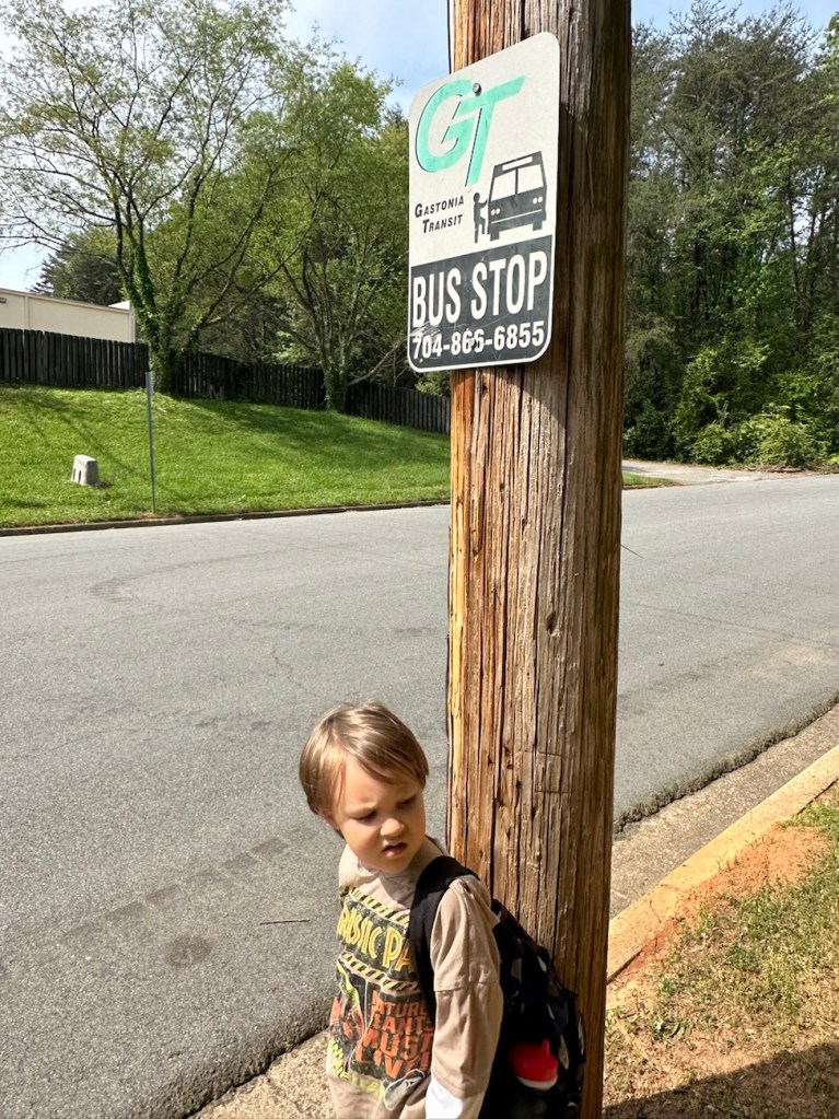
We managed to have a beautiful clear day yesterday (almost), so Coleman and I rode the bus to the Y for some fresh air and a bit of hiking.
All aboard, we’re on our way.
Before we begin our hike, it’s Coleman swing time. If we waited till later the school kids would have taken over and he couldn’t have been able to play.
Cameras: iPhone 14 Pro Max and Canon EOS Rebel T3i with Canon EF-S18-55mm lens with Altura UV & NP filter and also Altura Wide-Angle Fisheye attachments.
Location: Gaston County Warlick Family YMCA; Gastonia, North Carolina, USA
God Bless. Get Outdoors and Enjoy Our Beautiful Earth. Thank you for traversing the trail with us. Thank you for sharing your time and thoughts with us. I appreciate y’all very much.
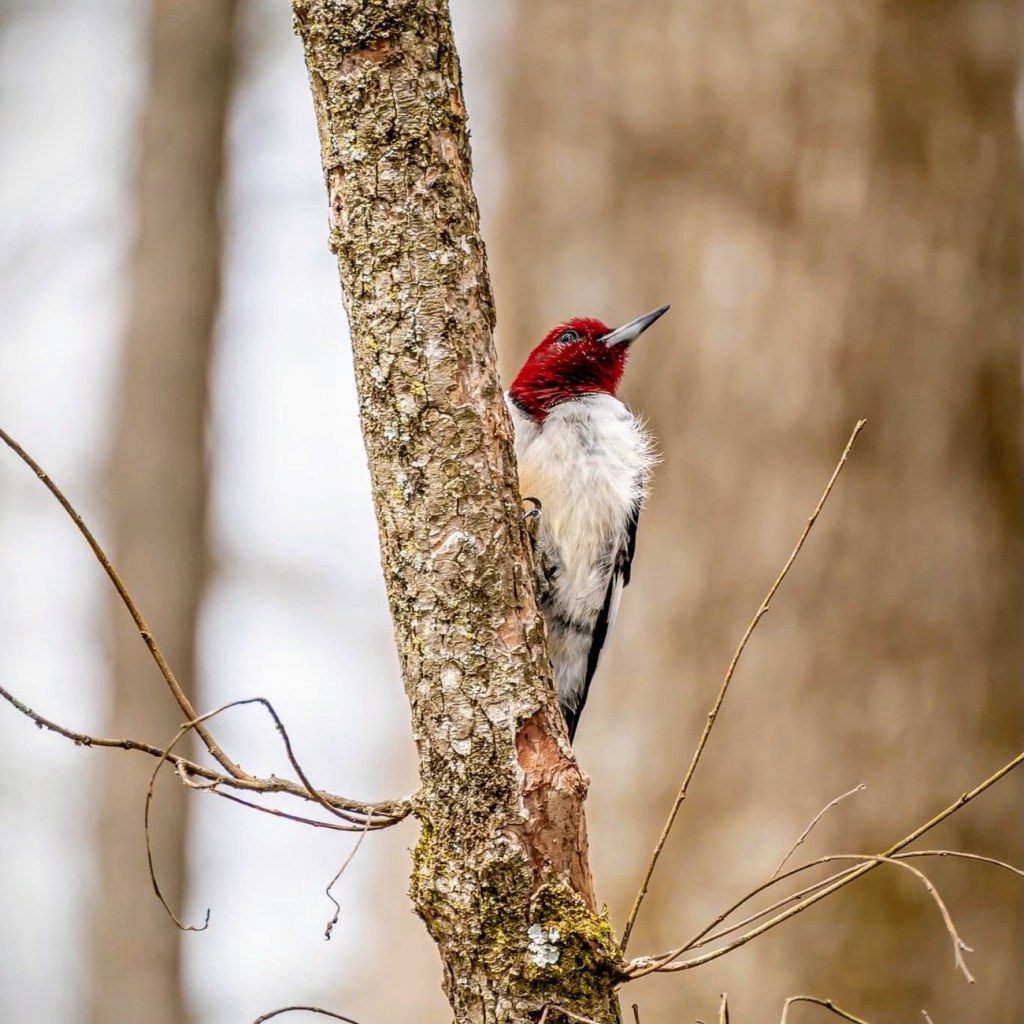
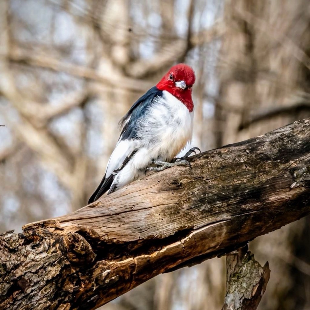
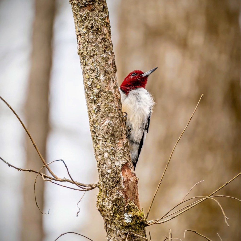
Red-headed Woodpeckers have an entirely red head, and their belly is white and unstreaked. It is a mid-sized woodpecker found in temperate North America. Its breeding habitat is open across southern Canada and the east-central United States. One should not confuse the red-headed woodpecker with the red-bellied woodpecker. Even though they are similar in size, the red-bellied woodpecker is named for the pale reddish blush of its lower belly and has a distinct patterned black and white back whereas the red-headed woodpecker has the solid black back and a vibrant orange-red crown and nape. These Red-headed woodpeckers were spotted at the Anne Springs Close Greenway in Fort Mill, South Carolina.
Clare @ Clare’s Cosmos invites us each month to share our desktops on the 15th of each month. Can you believe it the month of April is half over already? Here it is time once again to join Share Your Desktop. I like to share my wallpaper for my iPhone as well as for my Laptop. For my iPhone I use different wallpaper’s for the different focuses I use; personal, hiking, and reading.
Before we head out on the road I suggest we stop and fill up the car with some good old fashioned gasoline ⛽️. I doubt you’ll find these prices nowadays though.
I Spy Something Red
I Spy Red on the Gas Station Sign
Now that we’ve filled up the car 🚘 and made sure we have everything we need, let’s get going on our adventure.
I Spy Red Street Lights
Where are we going you might ask? It doesn’t really matter as long as we have a bit of fun along the way.
I Spy Red Trail Signs
How about we pull over for a while and go on a hike. These signs might direct us on our way.
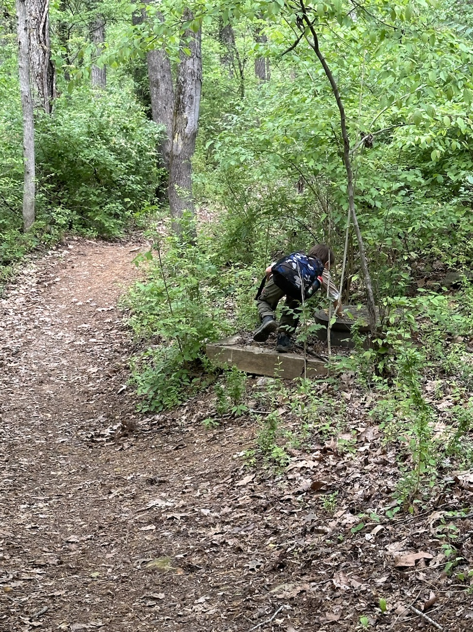
I Spy Coleman Wearing a Red Shirt
Oh Look, Stairs. Shall we go down them? What might we see when we reach the bottom? Who knows, but let’s go on down and discover what we can find.
I Spy Coleman Looking Out Over the Water at a Dam
Wasn’t that fun? Did you enjoy our little game of I Spy? I know Coleman and I had a great time together on our adventures.
Cee’s Which Way Challenge is fun to join and exciting to see everyone’s take on the challenges. No two people have the exact same perspective and I look forward to seeing y’all’s perspectives. Click Hereto link to Cee’s blog.
God Bless. Thank you for traveling with us. I truly hope you enjoyed the adventure. Thank you for sharing your time and thoughts with me. I appreciate y’all very much.
Solar Eclipse as seen on Tiles Sesquicentennial State Park Columbia, South Carolina Riverbanks Zoo Columbia, South Carolina Andrew Jackson State Park Lake
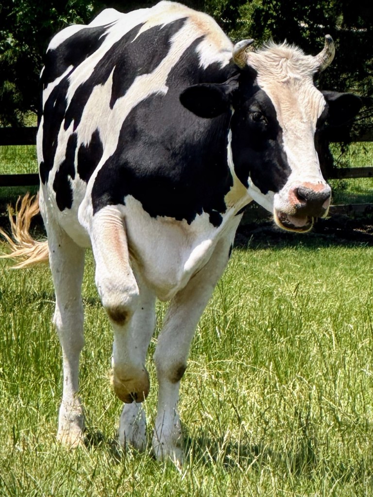
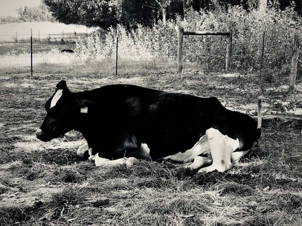
Good Day everyone! Welcome to my blog. The following are my entries for this week’s Weekly Prompts Colour Challenge. The challenge is asking for photos depicting the colour BLACK.
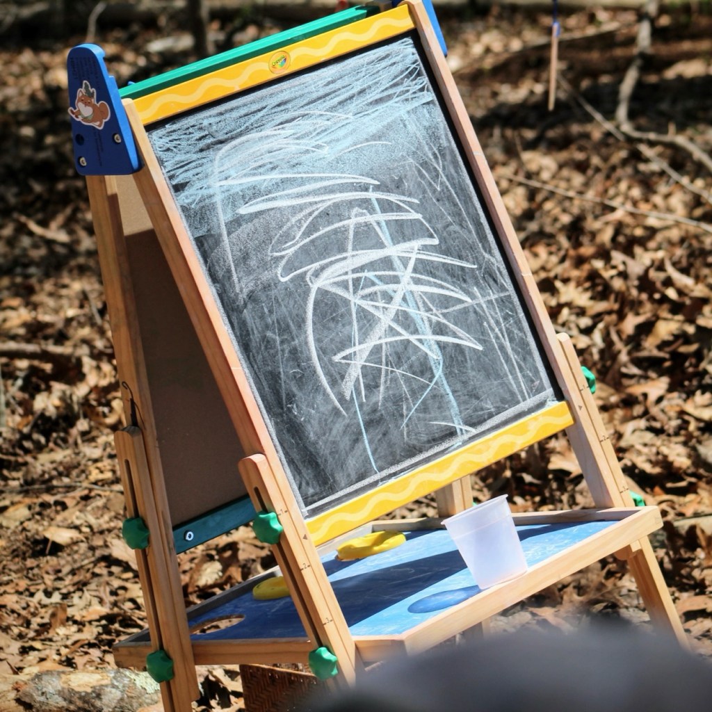
Black CowsChildren’s Blackboard Black and White Photography
Camera: Canon EOS Rebel T3i with Canon EF 75-300mm lens with Altura CPL filter attachment.
Location: Lake Haigler; Lake Haigler Loop; Lake Haigler Entrance; Anne Springs Close Greenway; Fort Mill, South Carolina, USA.
God Bless. Enjoy your week and have a fabulous weekend. Thank you for visiting and sharing your time and thoughts with us. I appreciate y’all very much.
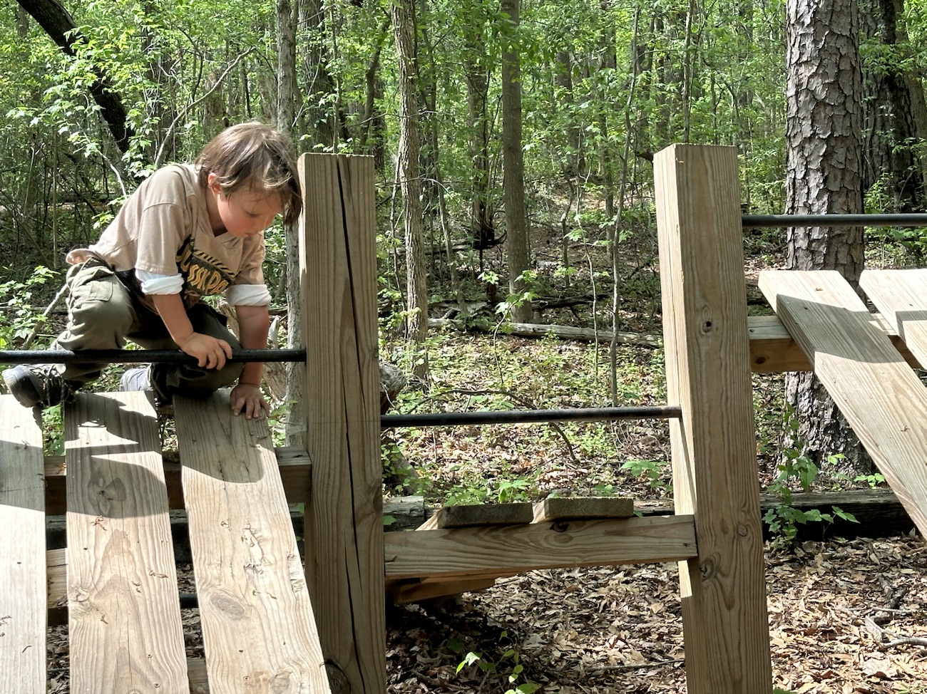
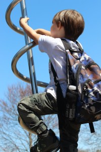
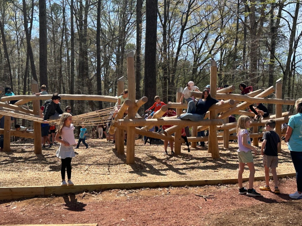
Opening Day for the Schroering Forest Playground was on March 30th. The Playground is a new addition for Anne Springs Close Greenway. Being its opening day list of families came to visit the Greenway the check out the new Playground. Children young and old alike investigated and explored the many different features and structures within the playground.
The number of people on the climbing structure varied throughout the day with the greatest impact of visitors being early in the morning and dwindling later on in the afternoon.
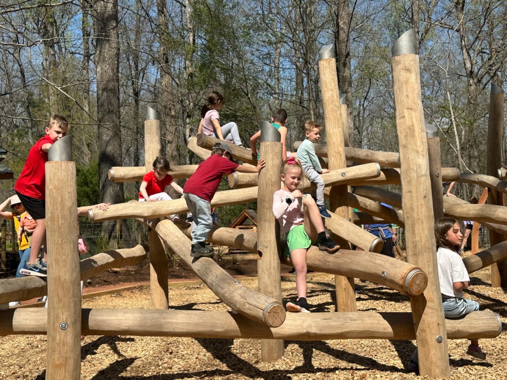
When Coleman and I first walked around the playground and the Climbing Structure it was intimidating with so many people in and on the various structures. Overwhelming especially for Coleman, so we chose to hike around the lake and come back later hoping for fewer children to be in the playground.
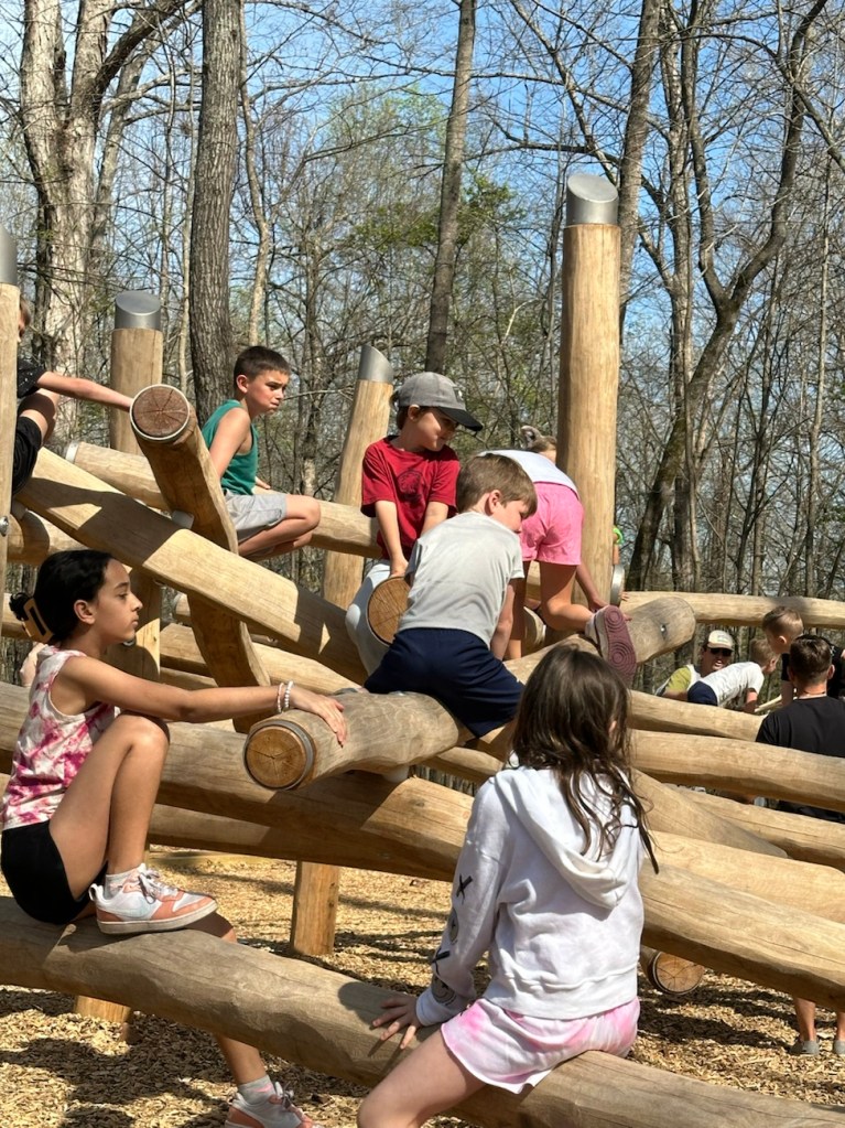
Coleman slowly getting the courage to try climbing on the Climbing Structure.
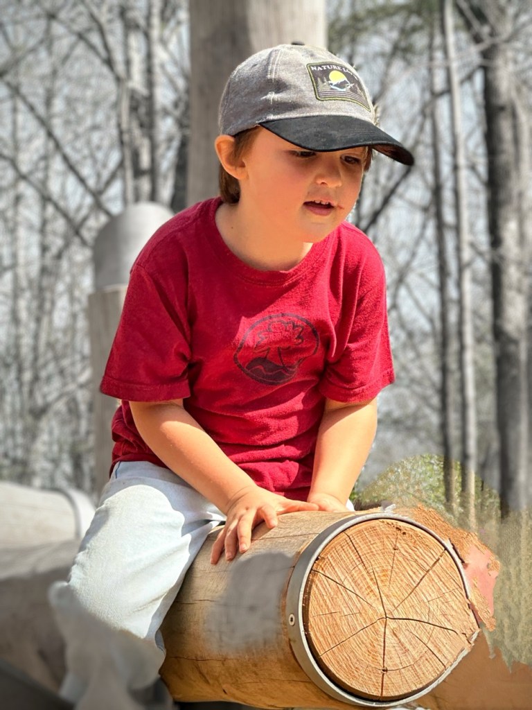
After climbing a short distance, Coleman sits down and looks around unsure of what to do next.
He eventually decides he was to get down, but was uncertain about how to go about climbing down. After watching for a little bit I realized he wanted help getting down. So we went hiking back up towards the car visiting the historic cabins, cows, and horses along the way.
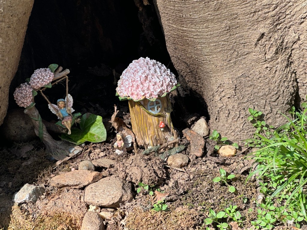
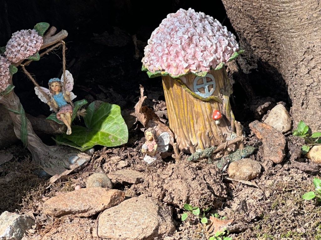
As Coleman and I were hiking along Steele Creek Trail back towards the car we spotted this little Fairy Garden tucked away in the base of a tree. I have seen pictures which other hikers have taken before, however this was the first time we had ever spotted the Fairy Garden. If you weren’t looking at the surrounding landscape you could possibly miss seeing it.
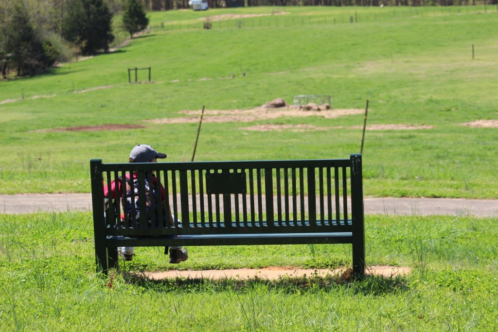
Spotted along Steele Creek TrailFairy Garden Time to Swing and Relax
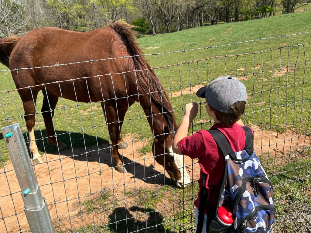
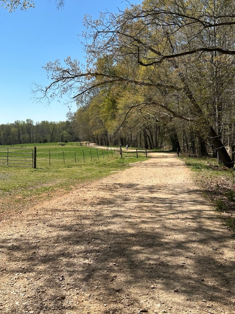
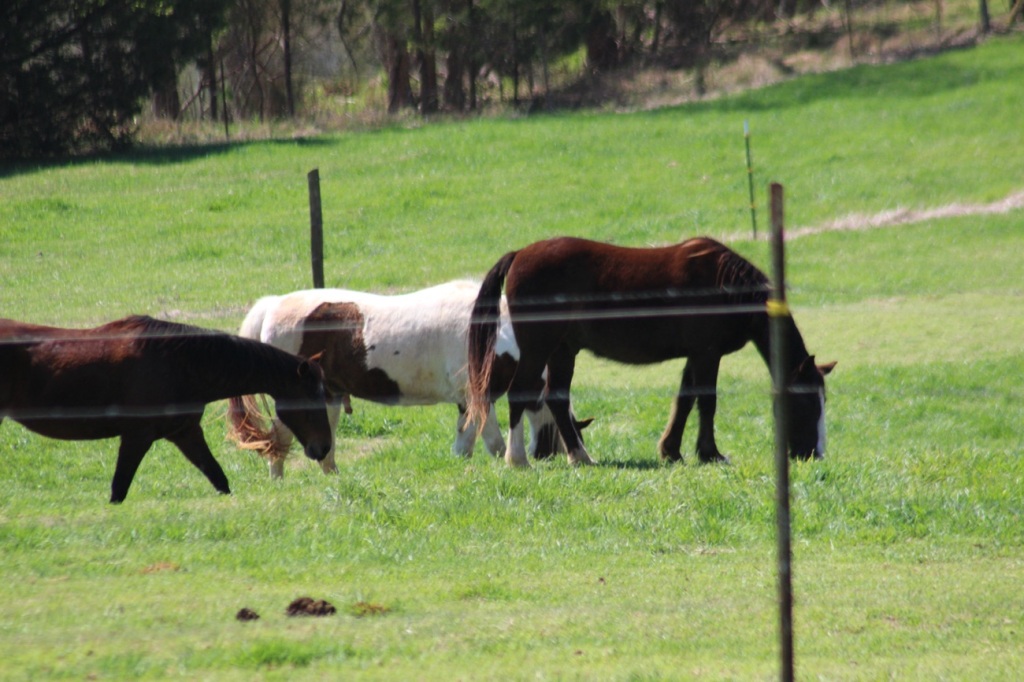
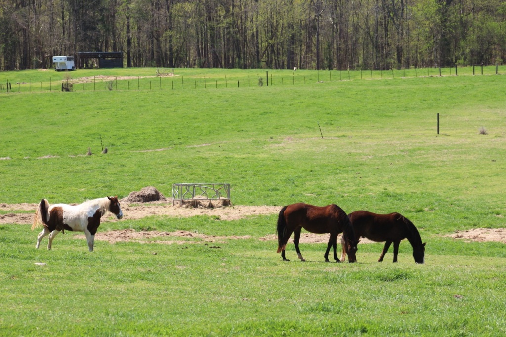
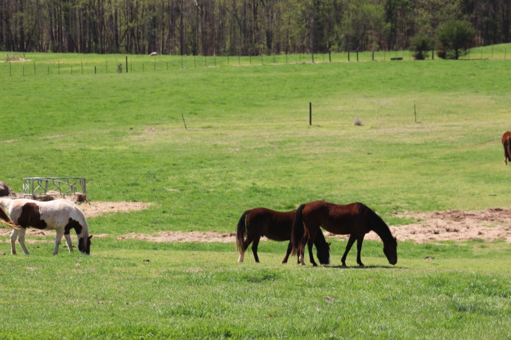
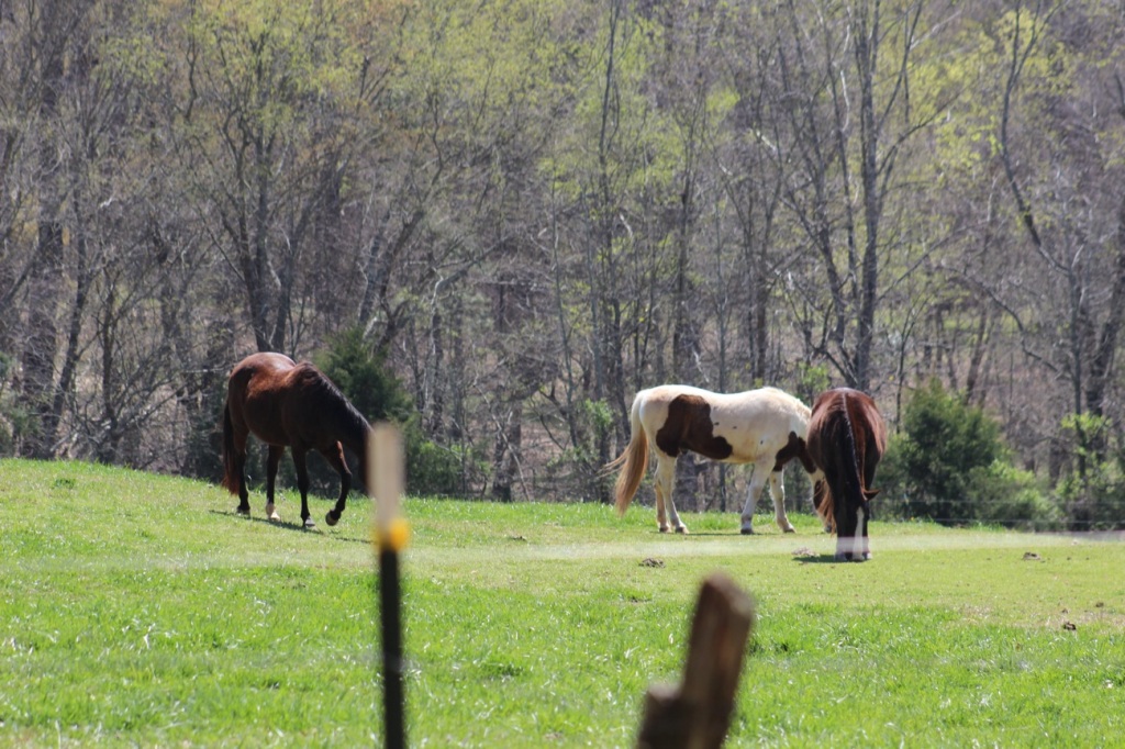
On this hiking adventure I parked at the Dairy Barn Entrance to the Anne Springs Close Greenway. After exiting the car we proceeded to hike along the fencing before hitting the trails. Following the fence line we were able to view the horses, some of which trotted over to our location. [More on horses later].
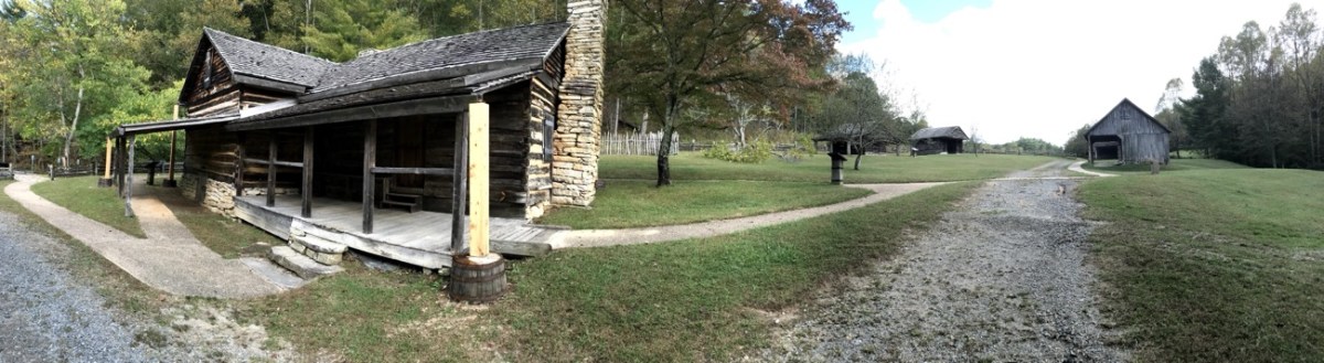
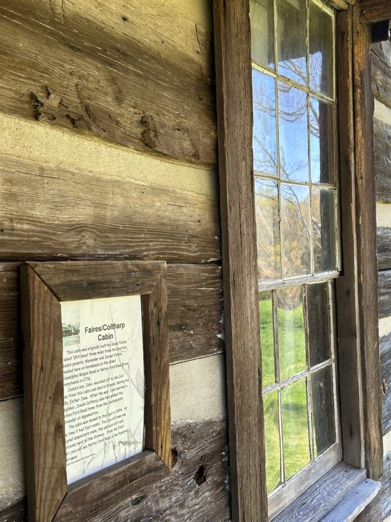
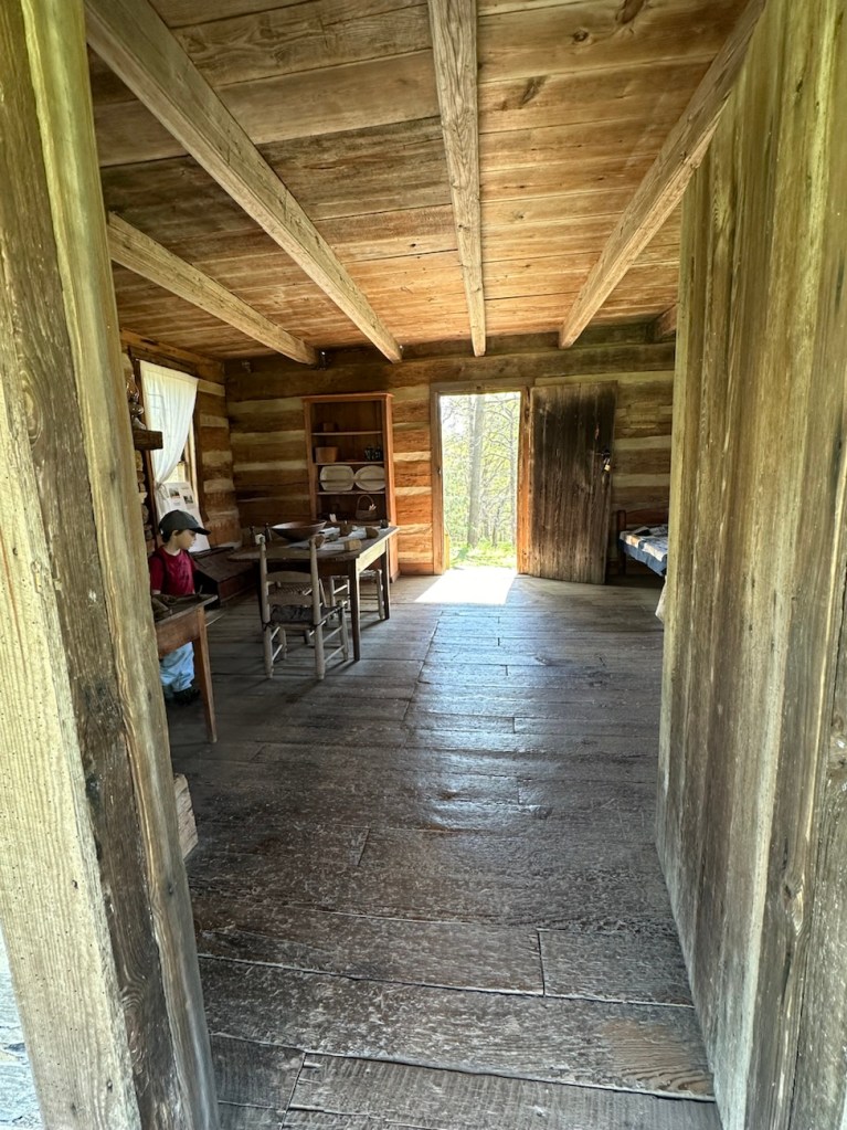
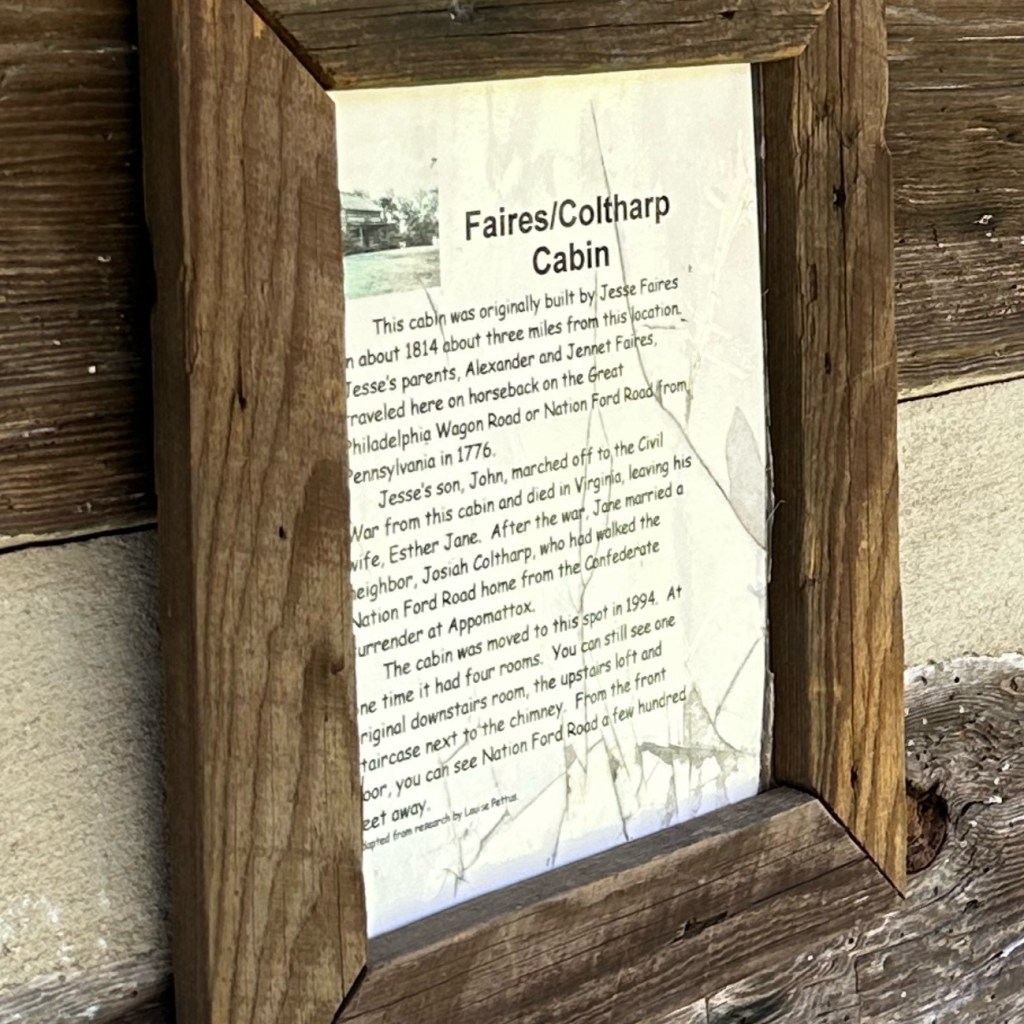
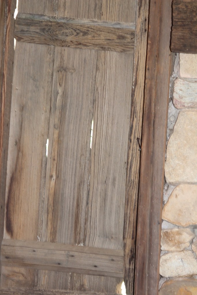
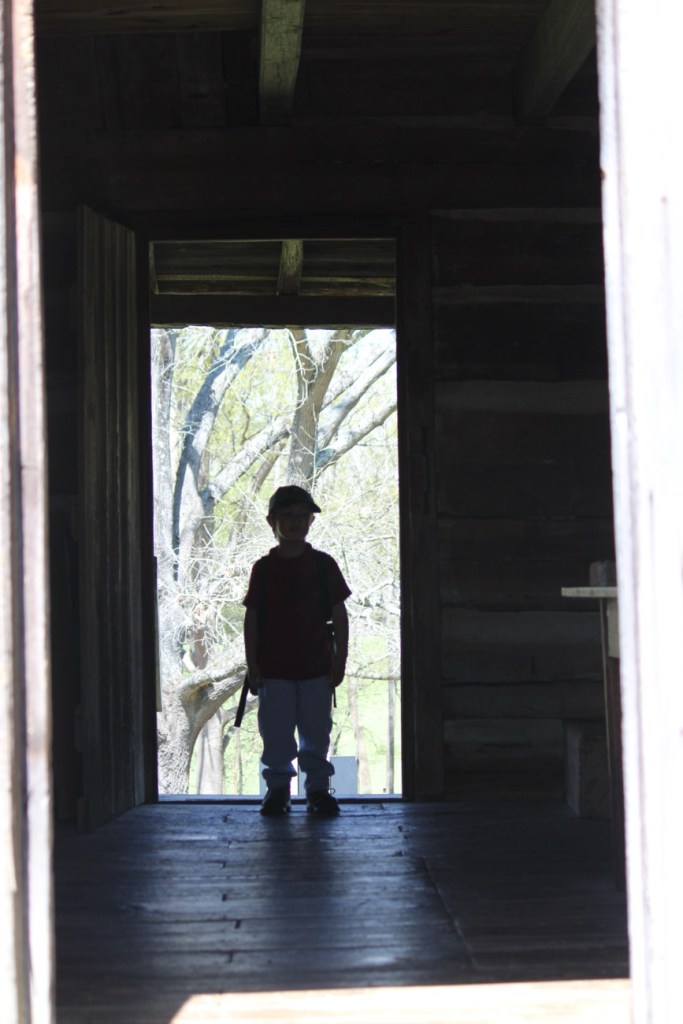
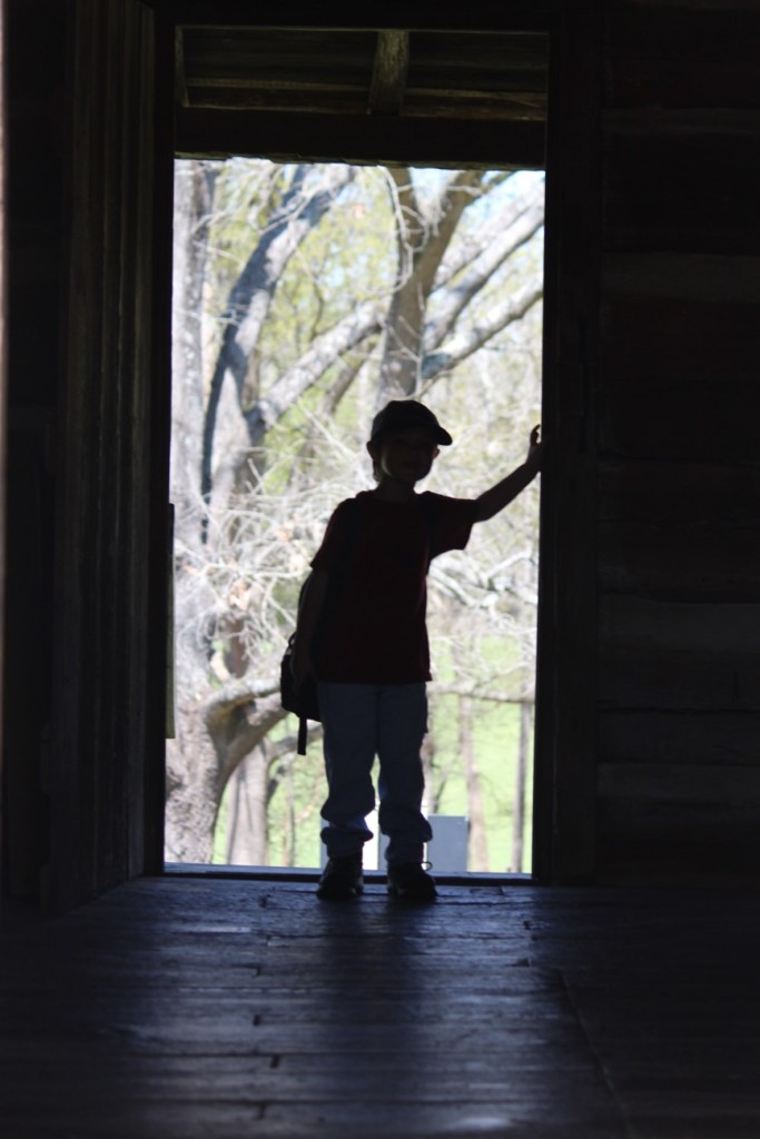
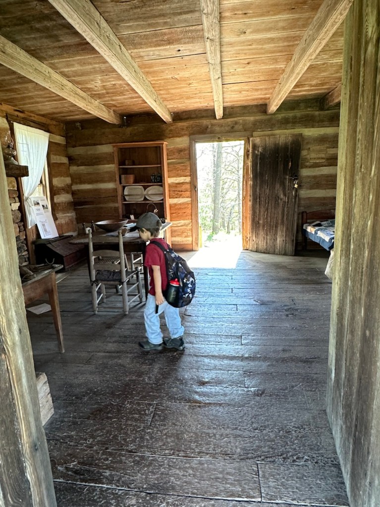
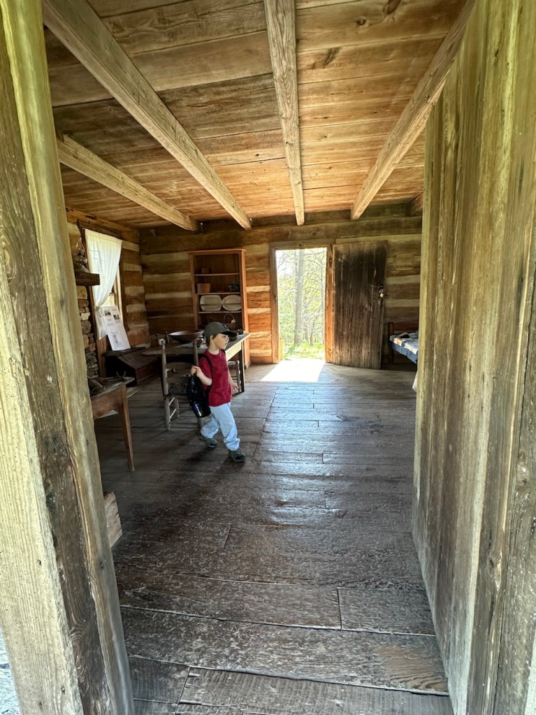
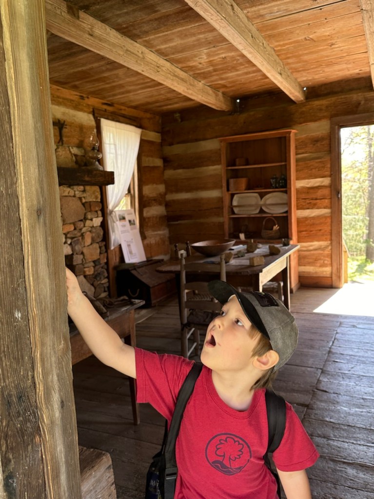
Our first stop along the Blue Star Trail was to take a look at the Faires/Coltharp Cabin. To our surprise and delight it was open to the public (first time we’d seen it open). So naturally, Coleman with me following went inside to see what was inside.
A Look inside the Faires/Coltharp Cabin
After leaving the cabin, we hiked further along the Blue Star Trail towards the Swinging Bridge and the Schroering Forest Playground located on the other side of the Spillway.
Blue Star Trail
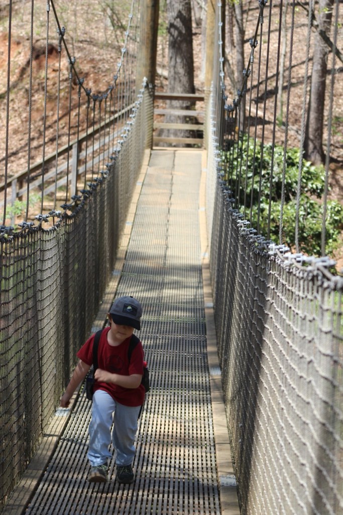
When the Spillway is up and streaming with a steady flow of water, the only way to cross it is to walk across the Greenway’s Swinging Bridge. Since our destination was on the far side of the Swinging Bridge we/I slowly walked across. Coleman used to walk across it when he was younger, but now if no one else is on it he’ll run across.
Coleman crossing the Swinging Bridge
We made it safely across the Swinging Bridge, walked around the Artisan Market, ordered lunch from the Greenway’s Canteen and rested a bit before heading to the Schroering Forest Playground. We had a clear view of the Playground from where we chose to sit. This was the first official day the Playground was open. They had been working on it all fall and winter. Being its opening day, the playground was crowded with children from all age groups.
Coleman hiking the Blue Star Trail
Upon completion of our lunch we noticed there were still a lot of children on the playground. I decided to have Coleman wait to play in it until it wasn’t nearly so crowded. Therefore, we continued on with our hiking and headed down to Lake Haigler.
Blue Star Trail Almost down to Lake Haigler
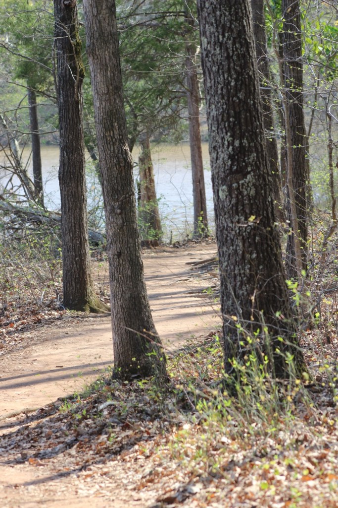
We hiked along the narrow side pathway towards the lake. The straight pathway is wider and more widely traveled by the majority of visitors to the Greenway.
We hiked a short loop with great views of Lake Haigler and then hiked back up to the Playground. Coleman climbed up on the Climbing structure and wasn’t sure about what to do after climbing up a short ways and just sat down for a few minutes. [The all natural wood climbing structure seemed to puzzle Coleman. He’ll probably climb more next time we visit.]
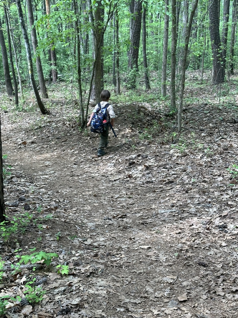
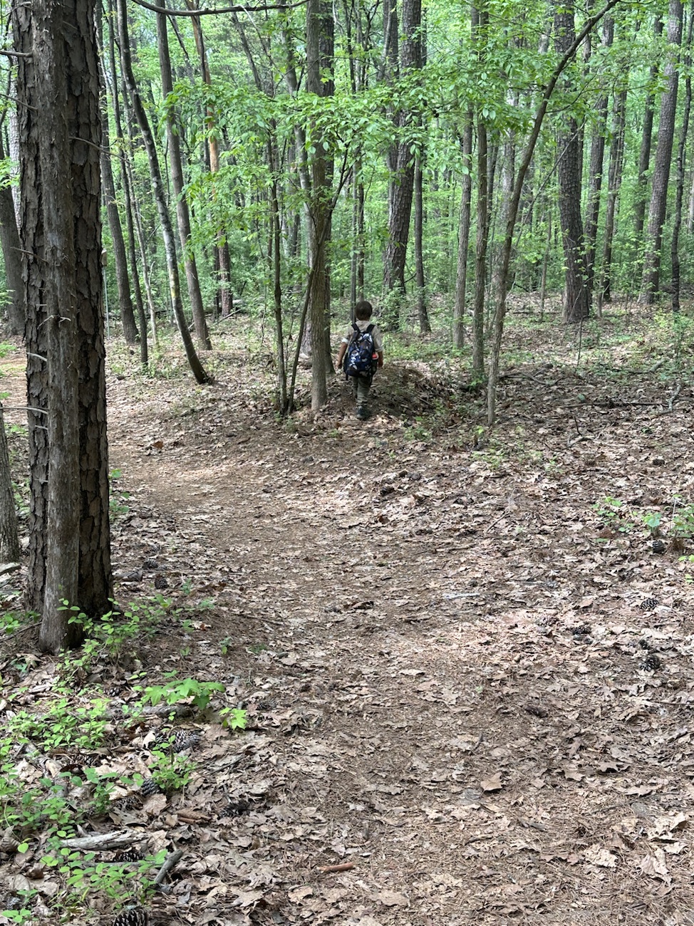
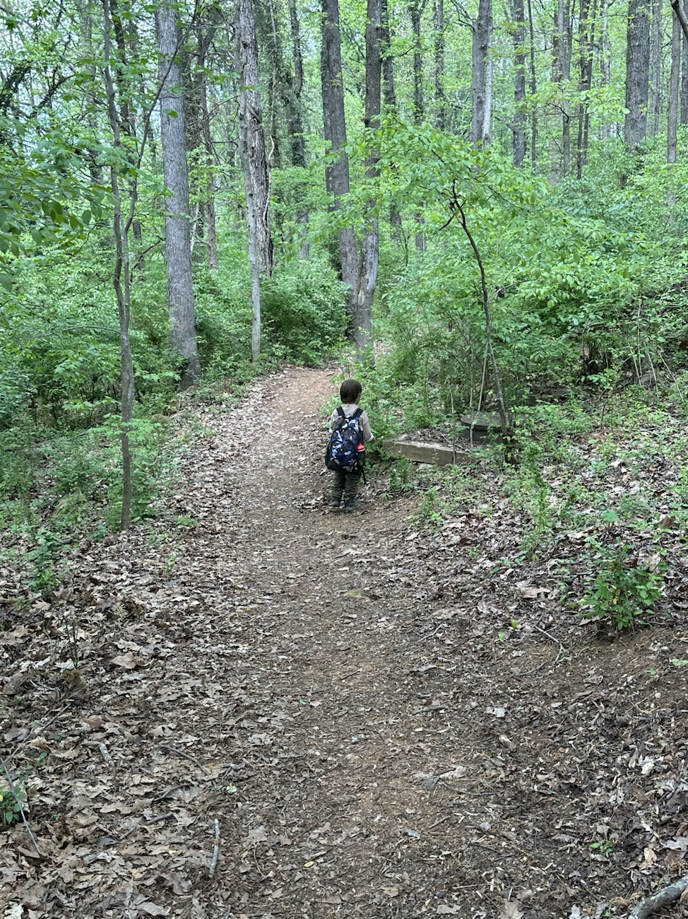
Steele Creek Trail
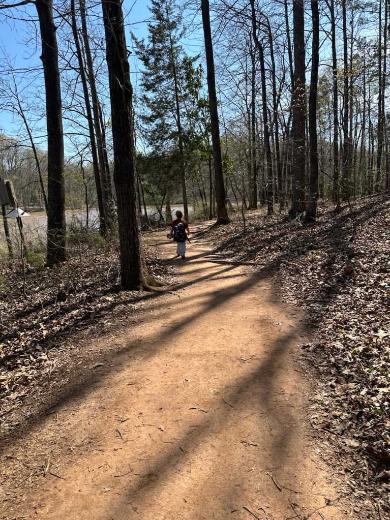
After a full afternoon of hiking and Coleman playing I decided it was time to head home. Hence, we proceeded to hike back up to the car. Instead of hiking the exact same trail we hiked down, we started out hiking on the Steele Creek Trail. The Steele Creek Trail is a narrow trail that leads up towards the Graham Historical Cabin.
From the cabin we traverse back onto the Blue Star Trail. After short distance from the cabin, Coleman starts searching for the cows. Sometimes they are up close to the fence line, but on this day we really had to look for them. Searching the pasture as we hiked up the trail, two of the cows came walking towards our direction from the far end of the pasture. That made a Coleman’s day. He was then ready to go home.
Take a walk with us inside Faires/Coltharp Historic Cabin. You can see Coleman has no qualms about going through the door to check everything out. He is extremely inquisitive and loves to investigate everything he sees and comes across.
We had a very beautiful sunny weekend. It was warm and windy day. We decided it was a lovely day for hiking at Anne Springs Close Greenway. Due to the massive abundance of vehicles parking at the Lake Haigler Entrance for the Artisan Market I chose to park at the Dairy Barn Entrance. There was another reason for parking at this entrance as well; they charged extra at the other entrance because of the Artisan Market. Who wants to pay extra? I certainly didn’t, not in addition to my membership for the Greenway.
The Dairy Barn Entrance has a few different trails that can be accessed with various sites and scenery to observe. We hiked down the Blue Star Trail which leads down to the Greenway’s Spillway passing horses and the Faires/Coltharp Historic Cabin along the way.
Coleman loves to stop and watch the horses. Moving along, to crossover the Spillway we had to walk across the Swinging Bridge. We stopped on both sides of the Spillway to observe the water flowing down, around, and under the Swinging Bridge.