Welcome Cee and thanks for taking on the Which Way Challenge. I appreciate you and am looking forward to all you have to bring to challenge us on our Which Way Challenge adventures.
I’ve held off posting a which way challenge knowing you were taking over. Most of my “roads” are trails Coleman and I hike. I hope you’ll enjoy comingalong on our Which Way hiking adventures.
I know only the first photo has an actual road in it, however, Coleman and I mostly travel on dirt pathways. We walk most everywhere, sometimes riding the bus to get to a location where we plan to hike. Hopefully next time I’ll be able to be more in tune with the theme.
Gastonia Transit Bus StopColeman waiting for the Bus to Arrive On the BusColeman’s first city Bus RideRiding the Bus to Highland Rail Trail for a short Hike Highland Railroad Tracks Coleman looking at the Train Tracks Coleman by the Highland Rail Trail MapColeman by the Rules sign for Carolina Thread Trail Usage Down the Paved Trail We GoAnd Go…AndGo Coleman GoesHighland Rail Trail Carolina Thread Trail Gastonia, North Carolina
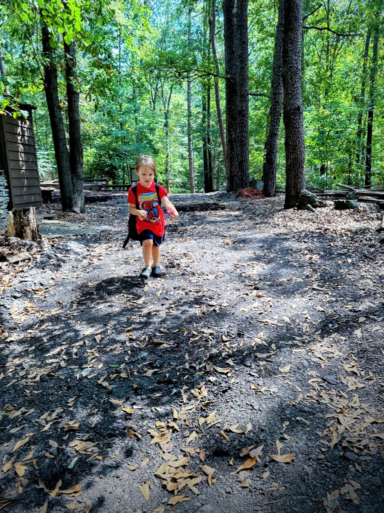
Let’s walk the Nature Trail together. Coleman leads the way around the farm through a log house and later onto the trail.
Through a Log HouseAround the Farm Past the Grist MillAcross the Bridge Are you coming? You need to keep up, Mawmaw.Working the Way through the Maze in Natural AMAZEmentColeman says let’s play a little bit In Playscape Then we’ll walk around the Pond and make a few splashes just for fun. Follow me, I show you how to get to the car. Go through the Gazebo, across one Bridge, under another bridge and we’ll reach the parking lot.
Crowders Mountain State Park is a 5,217-acre North Carolina state park located in Gaston County, North Carolina in the United States. Gaston County is located 32 miles west of Charlotte. It is on the outskirts of Gastonia, North Carolina.
Which Way should we go? To Boulders Overlook or into South Carolina?
Crowders Mountain State Park includes two mountain peaks with fabulous views of the surrounding Piedmont area. The peaks include Crowders Mountain and The Pinnacle. There are three different Access Points to the state park.
Sparrow Springs Access and Visitor Center – 20 miles of hiking trails
Linwood Road Access – 4 miles of hiking trails
Boulder Access – 6 miles of hiking trails.
Ridgeline Trail Map
My grandson and I entered the Crowders Mountain State Park via the Boulders Access Point. This was the first time I took him to this location. We didn’t go far on this trip, only 2.8 miles round trip. We hiked a small portion of the Ridgeline Trail. The entire Ridgeline Trail runs along both North and South Carolina.
Coleman choosesTo ClimbUpwardOn a Boulder Until he reaches the Top
The Ridgeline Trail is only one of many trails in the state park. The Boulders Access has a visitor center, restrooms, and picnic areas along with the hiking trails. At this location are quite a number of various sizes of boulders. Some of the boulders were close to the trail and too much of a temptation for my grandson to resist climbing. The Boulders Access area is less crowded then the main access at the Sparrow Springs Access point. The trail is rocky and traverses up and down and around the mountain.
Park Information:
Crowders Mountain State Park 522 Park Office Lane Kings Mountain, NC 28086
Hidden trail in the neighborhood behind the soccer field. My grandson, Coleman loves to find natural trails regardless of whether it is an actual trail or just a path to who knows where. This is a path or trail we discovered the other day while walking and investigating our new neighborhood,
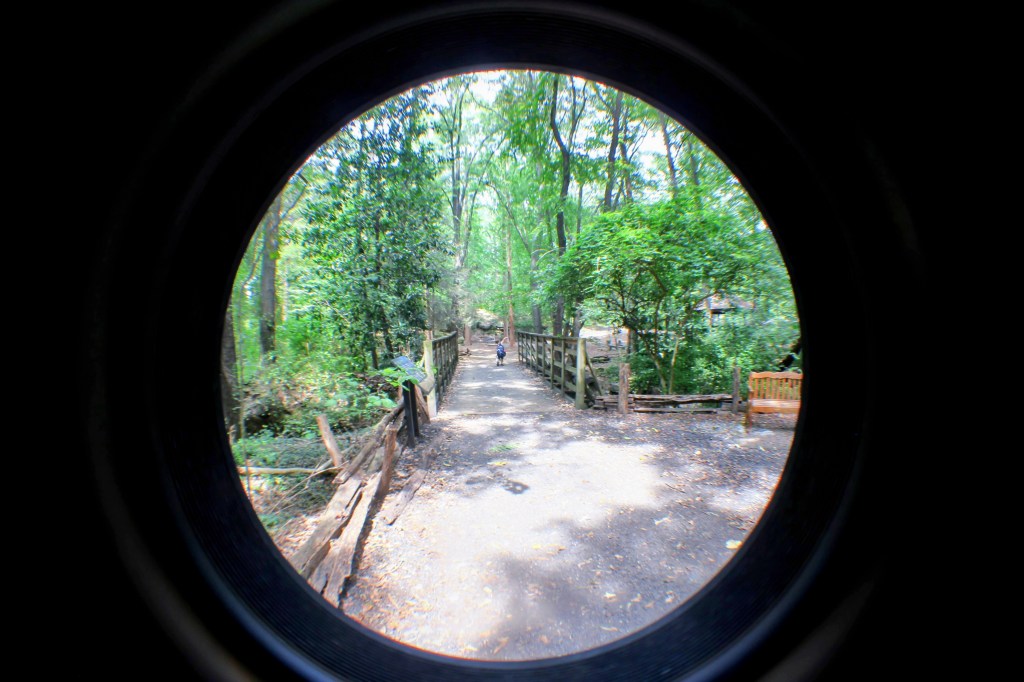
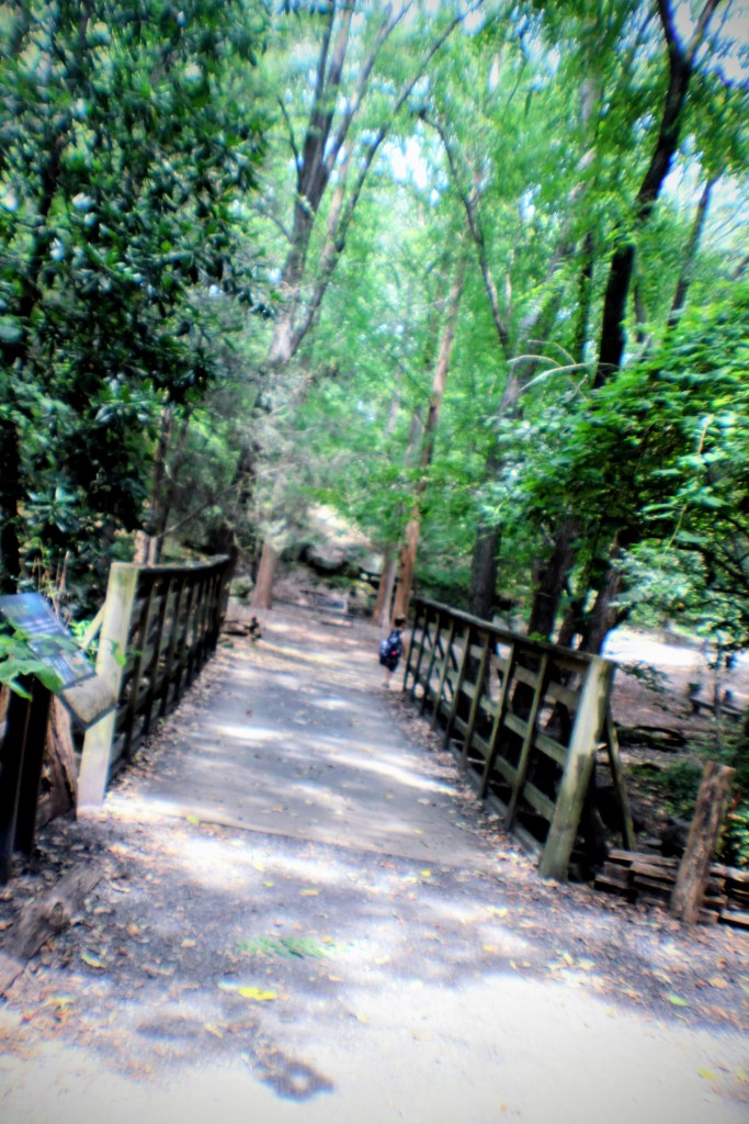
Take a walk with me through the backwoods of the Greenway. See what my grandson and I see as we meander through the trees and along the creek on the Blue Star Trail. The Greenway is one of the happiest places that my grandson loves to be, hiking and enjoying nature.
We entered the Greenway through a path in a Fort Mill neighborhood. This was our first-time entry through this area. we were not sure where we were going or onto which trail, we would encounter as we hiked from this new point of entrance.
We missed the pathway to start with and crisscrossed through the trees until we emerged near a wooden bridge. We saw the Blue Star Trail sign and knew we were about to be in the Greenway. To the left of the wooden bridge is a swinging bridge that was blocked off with caution tape signifying it was unsafe to use. So, we crossed the wooden bridge to begin our hike for the afternoon.
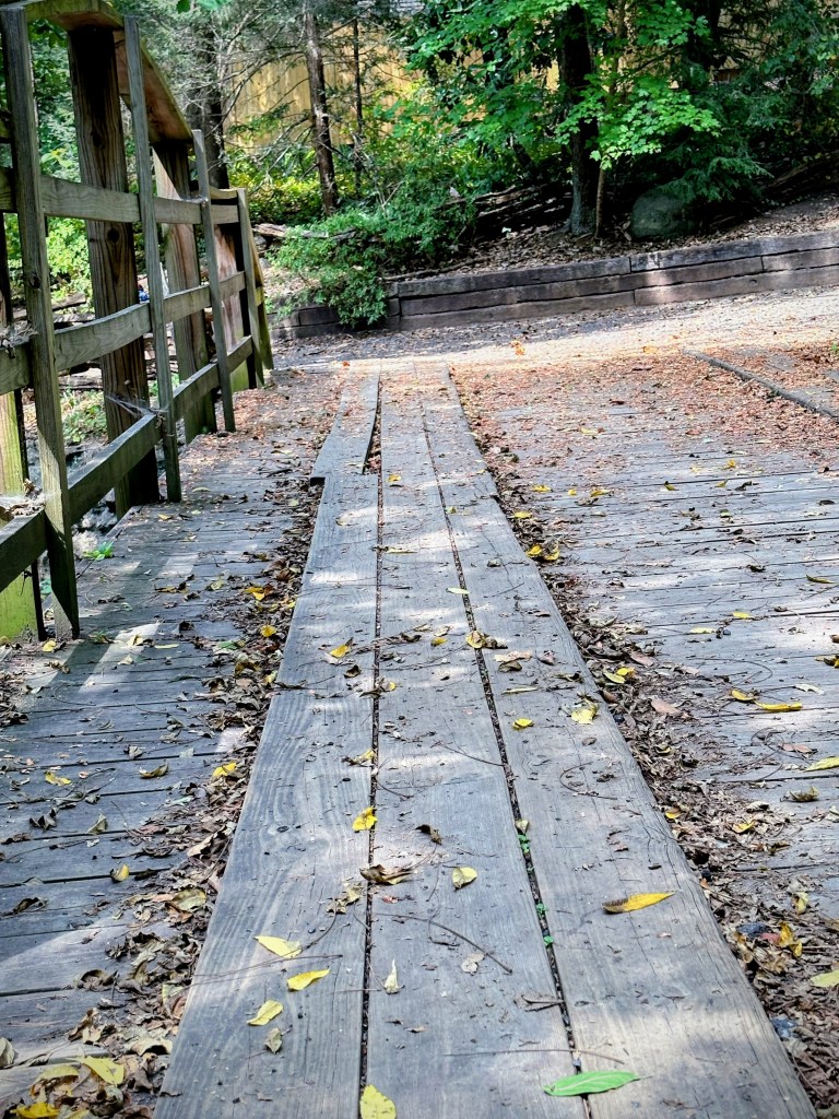
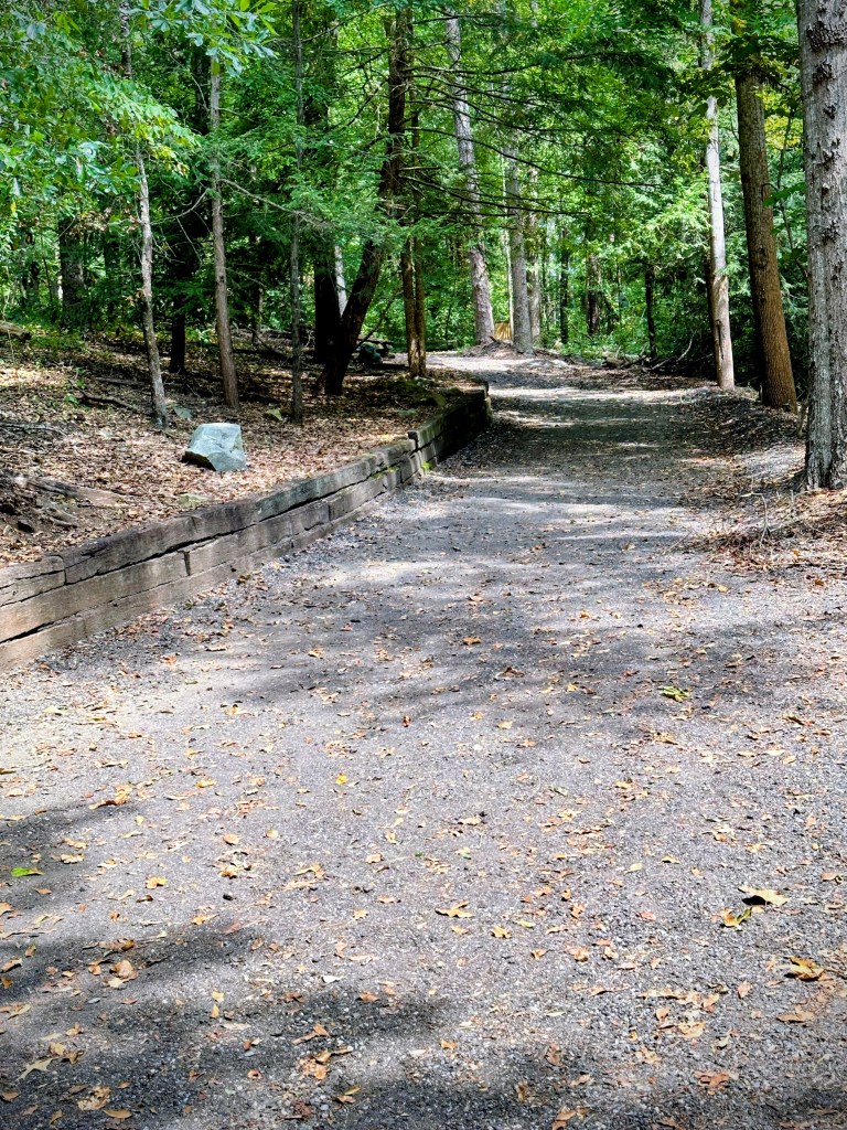
Coming upon a crossroads we weren’t sure whether to go to the right or the left. We went to the left, and it took us away from the Greenway onto a section belonging to the Town of Fort Mill. We didn’t realize this until we stopped at a gate which indicated it was a restricted area. At such time we turned around and proceeded back the way we had traveled. The pathway runs alongside a creek. In the Greenway the trails run along creeks thus we didn’t notice anything out of the ordinary at first.
Once we arrived back at the crossroads, we proceeded to hike the direction we should have gone in the first place, to the right. In this direction we came to another swinging bridge, the Blue Star. This one was okay to cross. My grandson, Coleman loves to run across swinging bridges. It wasn’t that way the first time he went across one, but now he thinks they are fun to cross.
Being the first time, we hiked via this pathway we didn’t go very far. We were not wearing our proper hiking boots and we were just out for a short adventure. Therefore, we at this point went back to the house we were visiting to relax and reflect on our time in the woods.
…. Coleman goes with me, either beside or in front leading the way.
Coleman leading The WayAlong the Path. This particular Trail Is Paved For easy AccessFor Everyone Regardless of abilityYoung and Old Alike.
Over the weekend, Coleman and I enjoyed a beautiful sunshiny day hiking 🥾 along the Catawba River by the Fort Mill Dam. We’ve had a lot of rain lately and Coleman does not like to be cooped up in the home all day. It is always a joy to be able to take him out in nature where he can be free to run.
My grandson, Coleman and I loved to venture out into nature and roam through the trees whenever the weather permits. It has been raining a lot here lately, so we haven’t been out much. Only twice this week. Coleman loves to go hiking at the Anne Springs Close Greenway which is only a few miles from where we currently live. The Greenway has five different entrances, and we choose a different entrance to begin our hiking each time we go.
From the Horse Stables Entrance: Should we go to the Left or to the Right?
We veered to the LeftPast the Fences … onward to See the Farm Animals
Next, we switched to the Lake Haigler Entrance for some hiking near Lake Haigler.