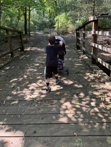
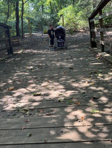
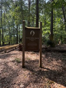
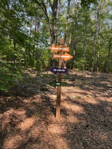
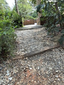
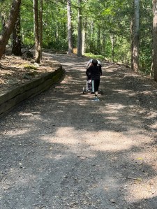
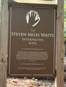
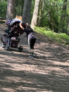
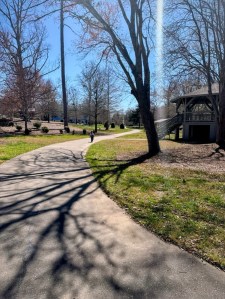
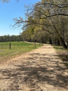
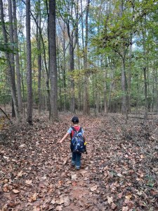
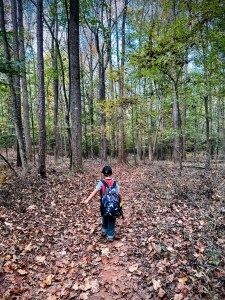
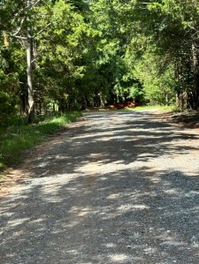
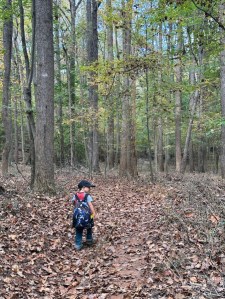
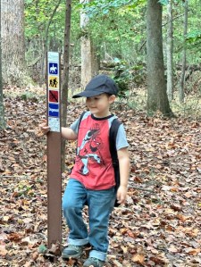
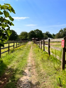
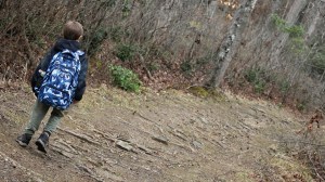
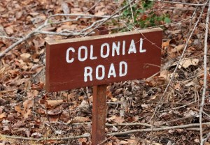
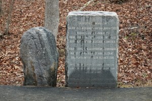
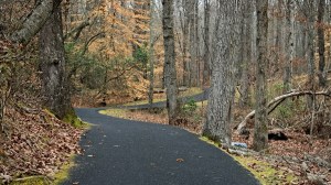
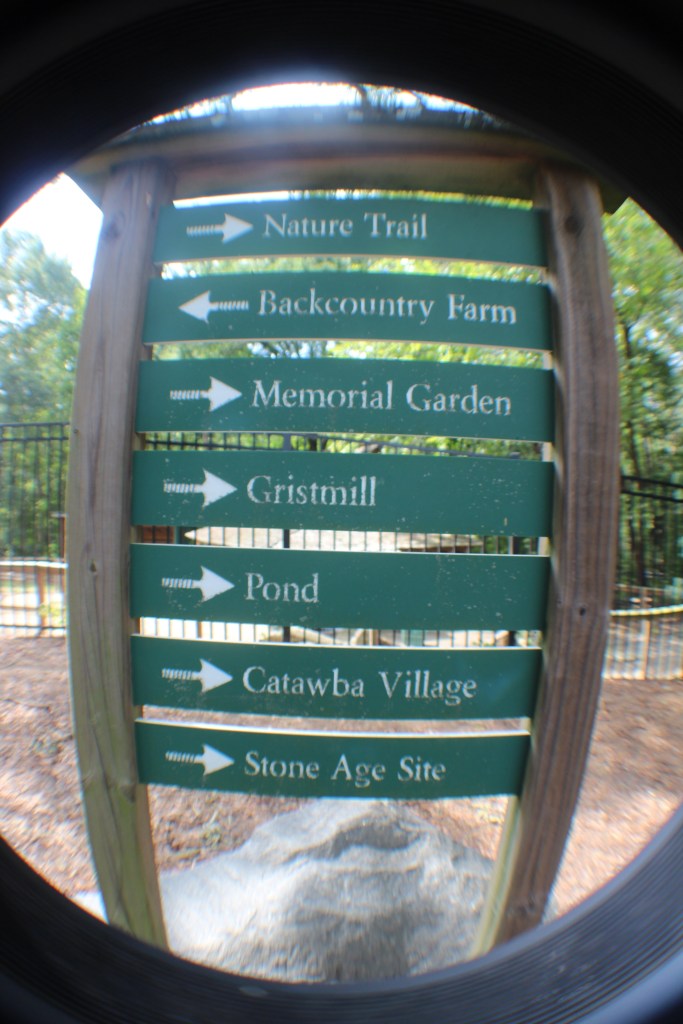
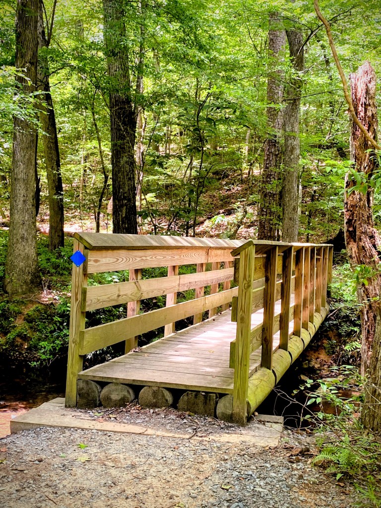
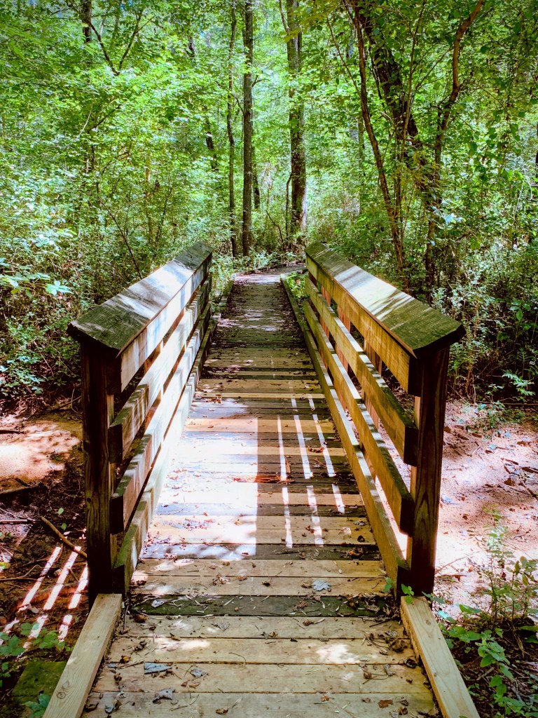
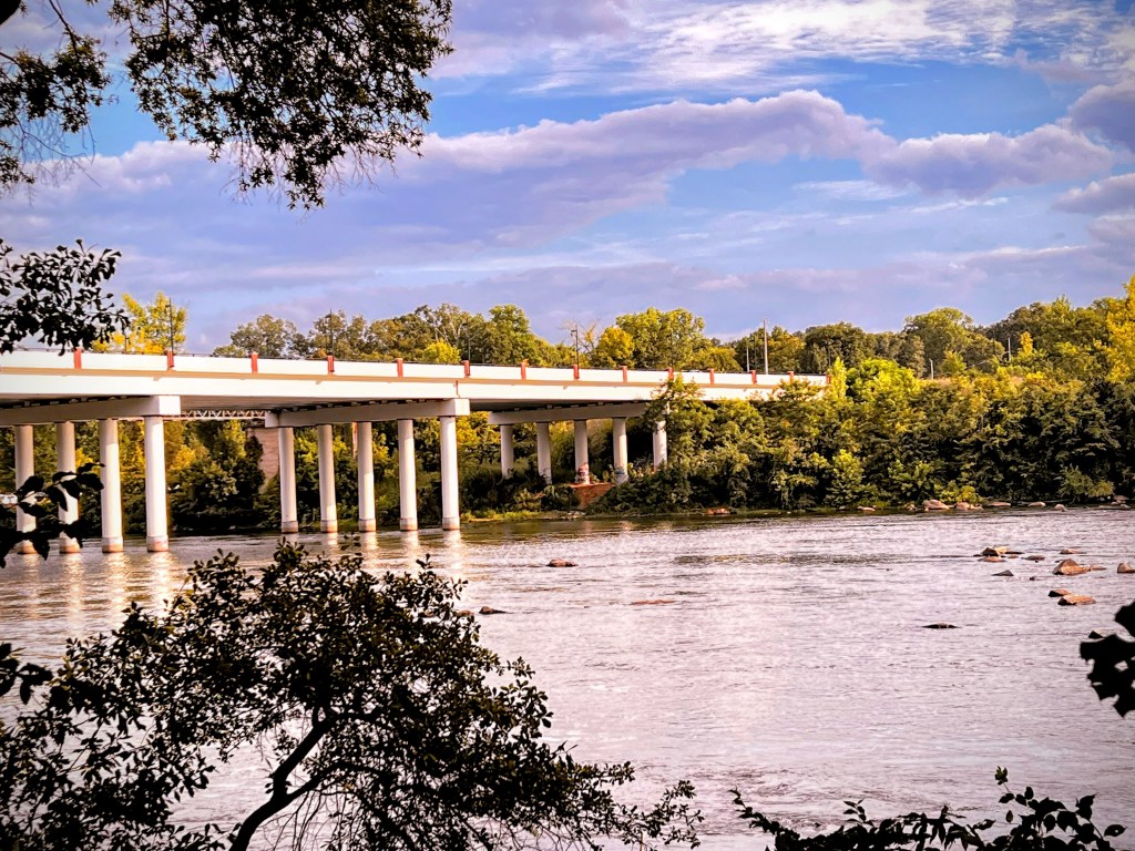
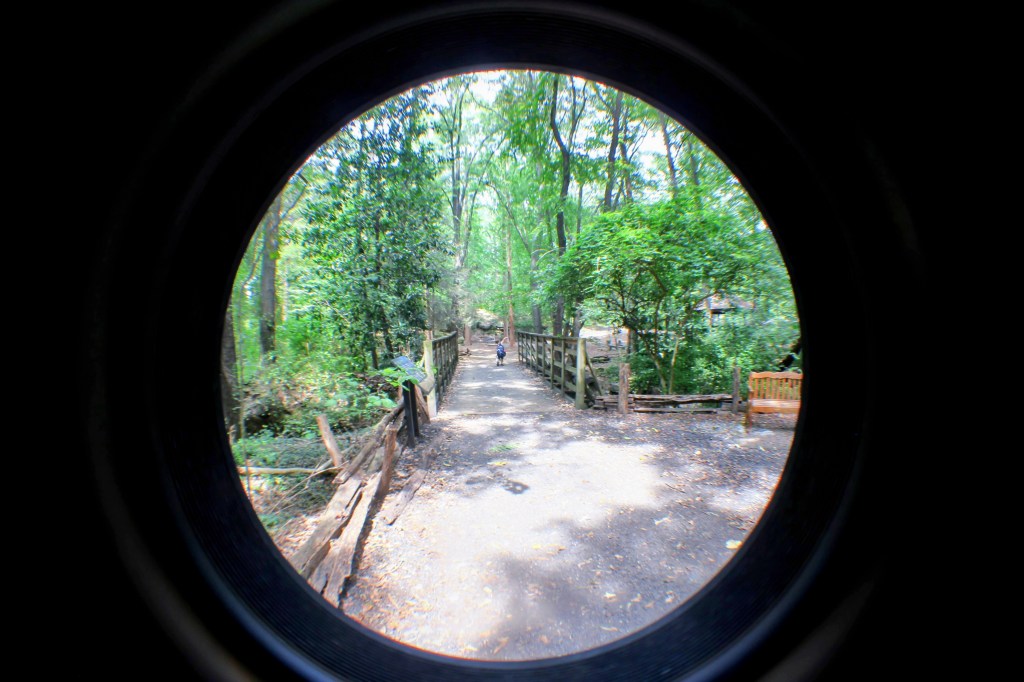
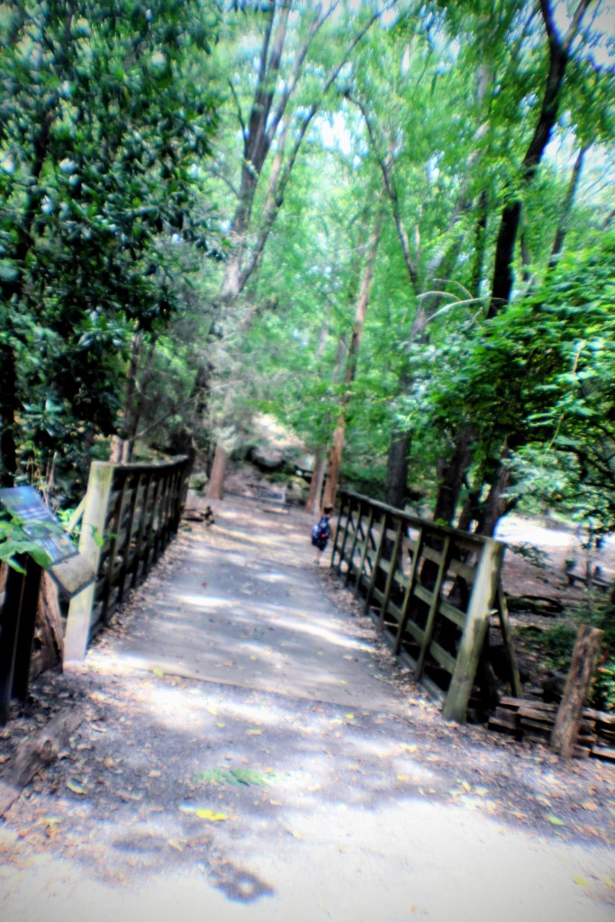
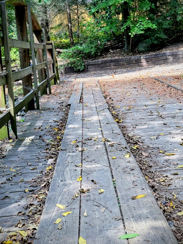
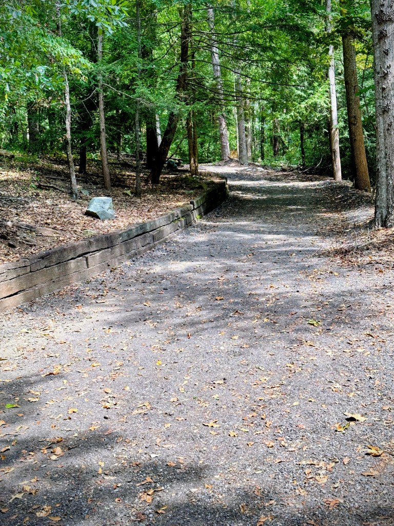
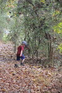
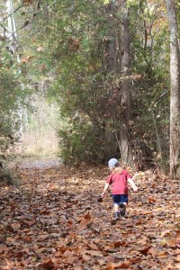
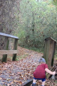
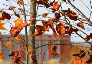
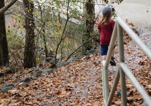
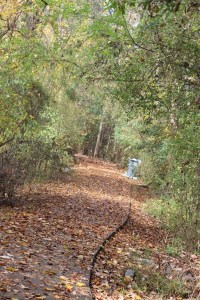
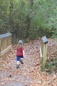
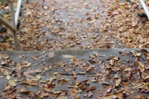
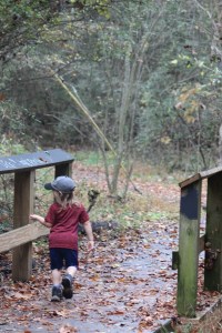
Welcome back to the Which Way Challenge (previously hosted by Cee Neuner). This week our theme is Which Way Challenge CWWC 2026: Any Which Way with Autumn Leaves [10.02.2026-10.09.2026]. It will run for two (2) weeks. Your Which Ways can be Outdoors, Paved or Unpaved, Dirt Trails or any natural surface as long as they are in the displaying Autumn Leaves 🍂.
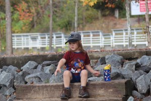
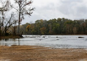
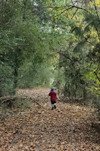
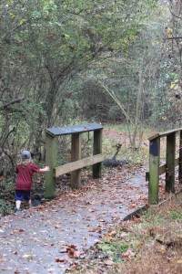
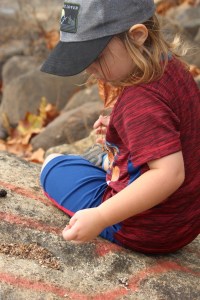
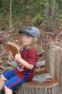
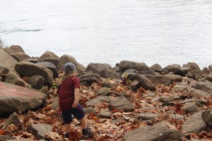
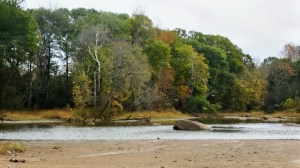
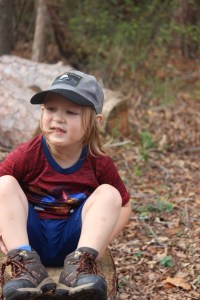
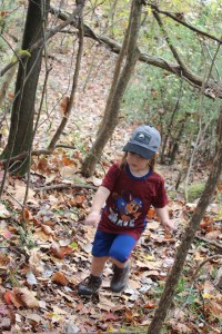
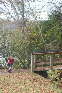
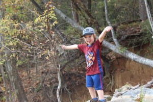
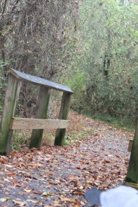
Mine are from 2021 and 2022 as the leaves in our area have not as yet displayed their Autumn colours. These were taken at the Fort Mill Access to the Catawba River and the Fort Mill Dam. Feel free to link to Dawn’s Festival of Leaves or other appropriate links.
Here are my entries …
CWWC Cee’s Which Way Challenge Deb’s Which Way with Autumn Leaves
Click on images to enlarge.
Thank you to those who have participated and supported the Which Ways Challenge. I appreciate y’all sharing your Which Ways with us.
For an idea of other’s Which Ways from this past week’s challenge, be sure to click on the following links below.
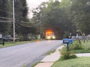
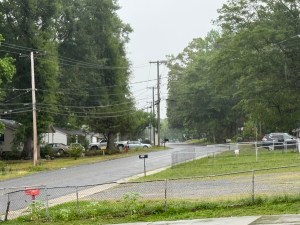
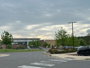
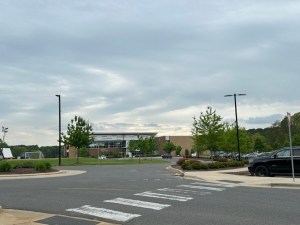
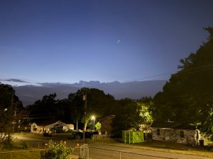
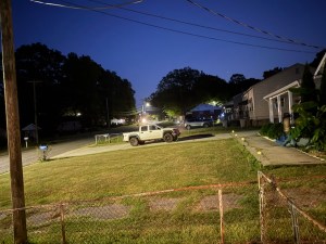
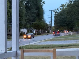
Welcome back to the Which Way Challenge (previously hosted by Cee Neuner). This week our theme is Which Way Challenge (CWWC) 2026: Any Which Way in the Evening (With or Without Rainy Weather) [09.25.2026]. Your Which Ways can be Outdoors, Indoors, Paved or Unpaved, Dirt Trails or any natural surface as long as they are in the evening. Your Choice is exactly that, Whichever Way you choose in the evening. As always Signs are always welcome.
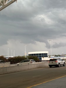
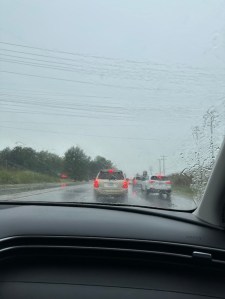
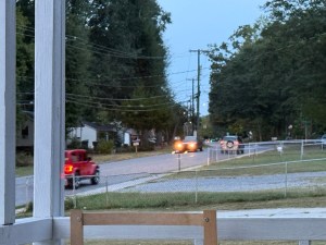
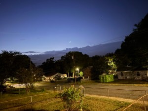
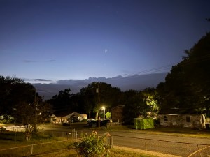
Here are my entries … a Wet and Rainy Evening …
CWWC Cee’s Which Way Challenge Deb’s Which Way Challenge
Click on images to enlarge.
Thank you to those who have participated and supported the Which Ways Challenge. I appreciate y’all sharing your Which Ways with us.
For an idea of other’s Which Ways from this past week’s challenge, be sure to click on the following links below.
Welcome back to the Which Way Challenge (previously hosted by Cee Neuner). This week our theme is CWWC (2026): Any Which Way —Your Choice. Your Which Ways can be Outdoors, Indoors, Paved or Unpaved, Dirt Trails or any natural surface. Your Choice is exactly that, Whichever Way you choose. As always Signs are always welcome.
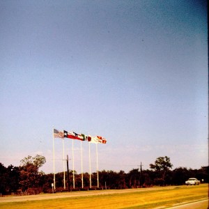
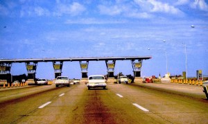
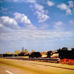
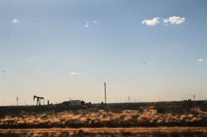
My choices for this week’s Which Way Challengeare a throwback in time to a trip cross country with my family in 1963. Back then we traveled by car in a 1962 Ford Galaxie 500 2-Door. These images were taken by my dad and originally developed into slides and were digitized after he passed. These were from our return trip to California after visiting family in the Carolinas.
Here are my entries …
CWWC Cee’s Which Way Challenge Deb’s Which Way Challenge Road Trip East to West
Click on images to enlarge.
Thank you to those who have participated and supported the Which Ways Challenge. I appreciate y’all sharing your Which Ways with us.
For an idea of other’s Which Ways from this past week’s challenge, be sure to click on the following links below.
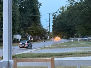
Welcome back to another Which Way Challenge (CWWC). I trust everyone has had a good week and able to spend some time to take a walk or hike in the vast outdoors. This week’s theme is CWWC: Any Which Way with Paved Walkways, Pathways, and/or sidewalks (not roads). The Which Way can be any path, sidewalk, trail, or road as long as thereare vehicles on theWhich Way and the way is clearly discernible. As always signs are always welcome.
For further information regarding the Which Way Challenge (CWWC) feel free to check out the home page here.
This week I am thinking about all the lives lost on 9/11. May they never be forgotten.
Remember the families of those killed in the 9/11 tragedy. Pray for them as they gather and remember on this 25th anniversary of 9/11. May they receive peace and comfort during this difficult time period.
Now on to this week’s Which Way Challenge (CWWC). I am venturing back in time to 2017 to a trip I made to Jacksonville, North Carolina to see my sons who lived there at the time. While my younger sign was on duty as a Marine at Camp Lejeune, my eldest son took me to see the Vietnam Veterans Memorial at Lejeune Memorial Gardens in Jacksonville, North Carolina. To find out more about the Lejeune Memorial Gardens feel free to click here.
The Vietnam Veterans Memorial and others like it have special meaning to us. My husband and his brothers as well as my brother all served in the military during the Vietnam War.
There are memorials at the Lejeune Memorial Gardens, I believe, for every war the United States Military ever participated in.
Montford Point Marine MemorialEagle, Globe, and Anchor Reflection PoolFlags proudly representing the Army, Marine Corps, Navy, Air Force, Coast Guard, and the POW/MIA cause.155mm M114 HowitzerVietnam Veterans MemorialBeirut MemorialVietnam Veterans MemorialVietnam Veterans MemorialMontford Point Marine MemorialBeirut MemorialBeirut Memorial155mm M114 Howitzer, powerful tribute to military personnel, especially those connected to Camp Lejeune‘Our Fallen Brothers,’ featuring the insignias of the 2nd, 3rd, and 4th Marine Divisions.Vietnam Veterans MemorialVietnam Veterans MemorialBeirut MemorialLejeune Memorial Gardens Jacksonville, North Carolina
Click on images to enlarge.
Thank you to those who have participated and supported the Which Ways Challenge. I appreciate y’all sharing your Which Ways with us.
For an idea of other’s Which Ways from this past week’s challenge, be sure to click on the following links below.
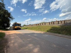
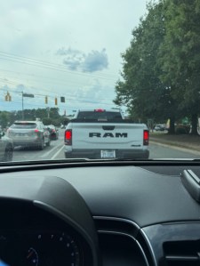
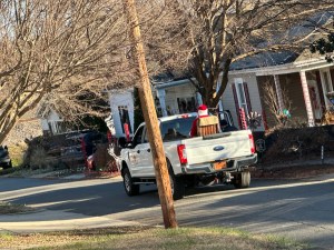
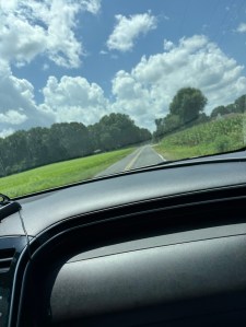
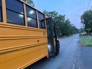
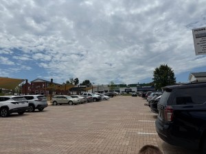
Welcome back to another Which Way Challenge (CWWC). I trust everyone has had a good week and able to spend some time to take a walk or hike in the vast outdoors. This week’s theme is CWWC: Any Which Way with Vehicles. The Which Way can be any path, sidewalk, trail, or road as long as thereare vehicles on theWhich Way and the way is clearly discernible. As always signs are always welcome.
For further information regarding the Which Way Challenge (CWWC) feel free to check out the home page here.
CWWC Cee’s Which Way Challenge Deb’s Which Way Challenge
Click on images to enlarge.
Thank you to those who have participated and supported the Which Ways Challenge. I appreciate y’all sharing your Which Ways with us.
For an idea of other’s Which Ways from this past week’s challenge, be sure to click on the following links below.
Embrace the adventure with CWWC 2026: Any Which Way – Your Choice! Whether you’re exploring nature trails, navigating indoor staircases, or venturing onto paved paths, there’s a route for everyone. Sign up now and discover your unique Which Way!
Welcome back to the Which Way Challenge (previously hosted by Cee Neuner). This week our theme is CWWC (2026): Any Which Way —Your Choice. Your Which Ways can be Outdoors, Indoors, Paved or Unpaved, Dirt Trails or any natural surface. Your Choice is exactly that, Whichever Way you choose. As always Signs are always welcome.
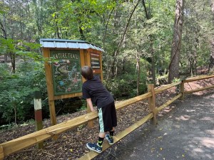
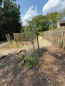
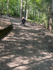
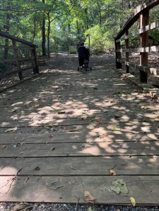
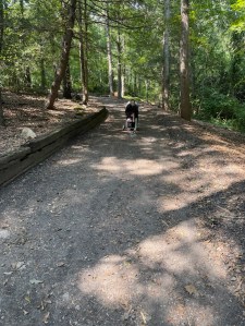
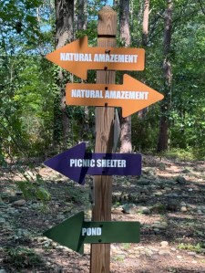
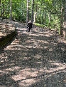
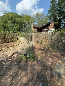
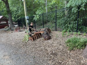
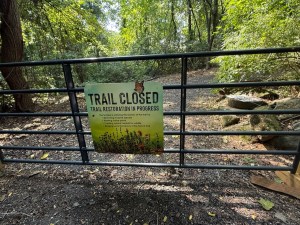
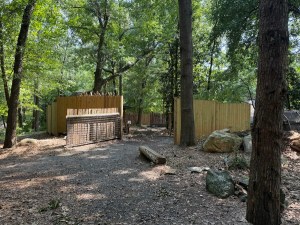
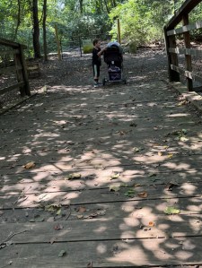
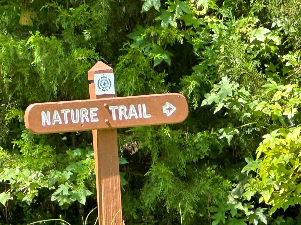
My choices for this week’s Which Way Challengeare naturalized surfaces on The Schiele Museum’s Nature Trail.
Here are my entries …
CWWC Cee’s Which Way Challenge Deb’s Which Way Challenge
Click on images to enlarge.
Thank you to those who have participated and supported the Which Ways Challenge. I appreciate y’all sharing your Which Ways with us.
For an idea of other’s Which Ways from this past week’s challenge, be sure to click on the following links below.
Last week I said I would share where we went via the transit system and what we saw along the trails. To visit last week’s post as Coleman and I traveled on the transit network for our Which Way click here.
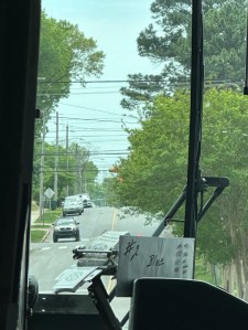
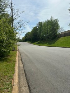
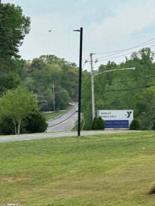
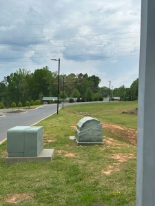
Now to let you know where we traveled to on the Gastonia Transit system (aka the bus) to go hiking. Our destination to the Warlick Family YMCA here in Gastonia for a bit of hiking and communing with nature. Here are a few images showing the trails we hiked and what we saw along the way.
CWWC Cee’s Which Way Challenge Deb’s Which Way Challenge
Click on each image to enlarge.
Thank you to those who have participated and supported the Which Ways Challenge. I appreciate y’all sharing your Which Ways with us.
For an idea of other’s Which Ways from this past week’s challenge, be sure to click on the following links below.
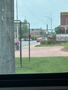
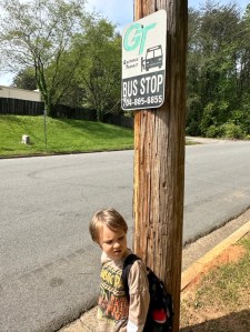
Back in 2024 the City of Gastonia ran buses to help people get around the city. Unfortunately, (at least for us) Gastonia discontinued the bus service. Now it is much harder to get around the city unless we are able to borrow my daughter’s car which isn’t too often.
Coleman and I used to travel on the city buses several times a week to go hiking at various locations around the city. Today, I decided on our free week (your choice) to share one of our adventures traveling by city transit and on foot.
Downtown GastoniaGazing at the YMCA building Pulling into the YMCAColeman waiting for the busView from the front bus window The Road where we waited for the busView from the YMCA Bus stop Waiting on the bus to go home Downtown Gastonia as seen from the busA paved trail in Lineberger Park CWWC Cee’s Which Way Challenge #Your Choice Week 2
** Next week I’ll share where we went via the transit system and what we saw along the trails.
Click on each image to enlarge.
Thank you to those who have participated and supported the Which Ways Challenge. I appreciate y’all sharing your Which Ways with us.
For an idea of other’s Which Ways from this past week’s challenge, be sure to click on the following links below.
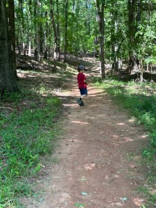
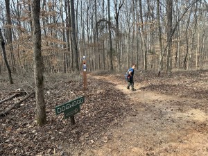
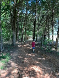
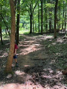
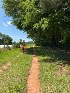
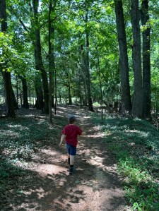
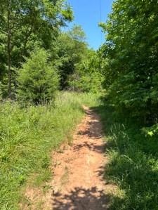
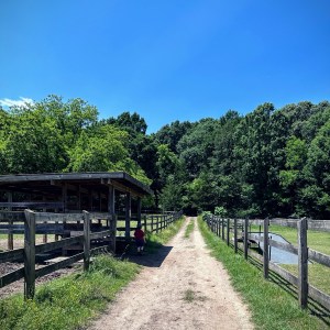
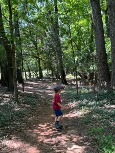
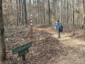
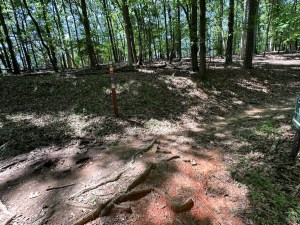
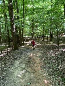
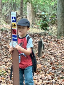
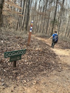
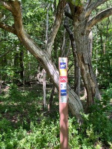
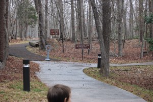
Welcome back to another Which Way Challenge (CWWC). I trust everyone has had a good week and able to spend some time to take a walk or hike in the vast outdoors. This week’s theme for the Which Way Challenge is (CWWC): Any Which Way Along a Dirt Trail, Dirt Pathway, or Dirt Road (aka with Brown). The Which Way can be Any Which Way you choose in your along any Dirt Trail, Dirt Pathway, Dirt Road (aka with Brown) as long as the Which Way is clearly discernible. As always signs are always welcome.
Location: Dogwood Trail; Stables Entrance; Anne Springs Close Greenway; Fort Mill, South Carolina, USA
God Bless. Get Outdoors. Take a Walk/Hike. Enjoy Nature’s Beauty. Thank you for visiting and sharing your time and thoughts with us. I appreciate y’all very much.
Next Week’s theme: Which way Challenge (CWWC): Any Which Way with the colours of Brown and/orBlack[07.10.2026]
Welcome back to another Which Way Challenge (CWWC). This week I have chosen for the Which Way Challenge (CWWC) 2026: Any Which Way on a Nature Trail (Dirt or Paved) for this week’s theme. The Which Way can be any dirt or paved path, sidewalk, trail, or road as long as the Which Way is clearly discernible. As always signs are always welcome. For further information regarding the Which Way Challenge (CWWC) feel free to check out the home page here.
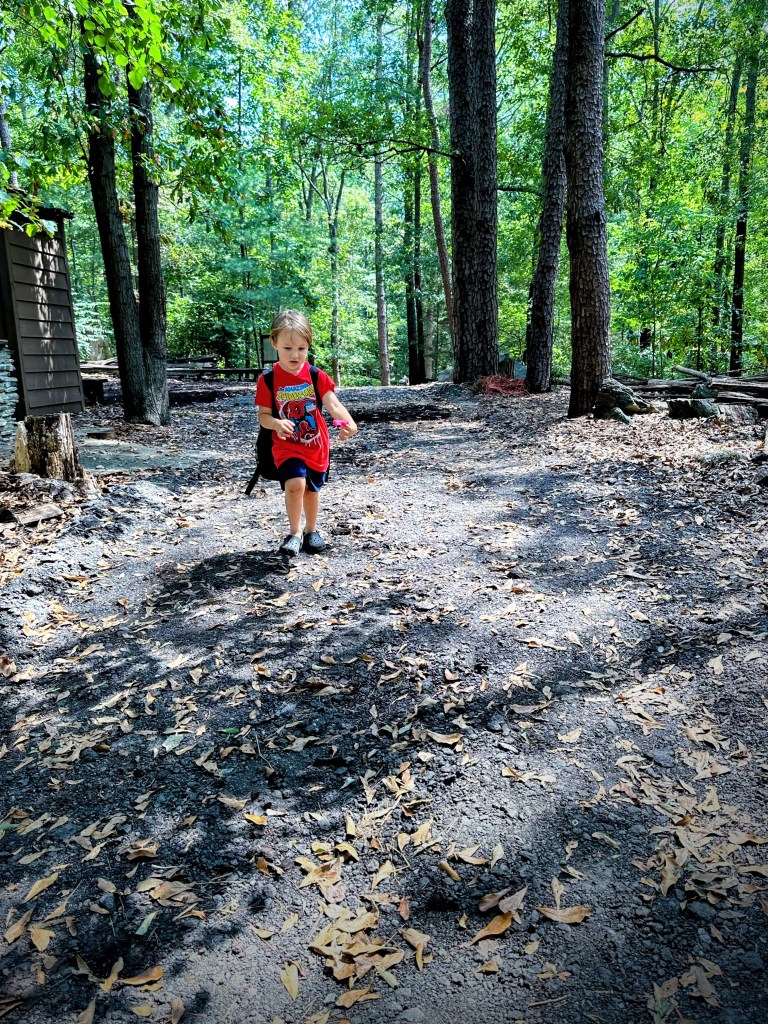
Coleman and I haven’t journeyed very far like some of y’all have, however, we do enjoy our adventurous journeys to Greenways, State Parks, and nearby National Parks. This past weekend we journeyed to Kings Mountain National Military Park for the sole purpose of hiking the Battlefield Trail.
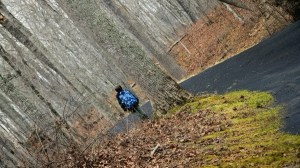
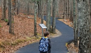
The Battlefield Trail is a mere 1.5 miles long, but it seems a lot further when you’re hiking up hill on the trail, winding around the mountain, back and forth twisting this way and that way through the woods, hiking up and down continuously seems like you’re hiking forever.
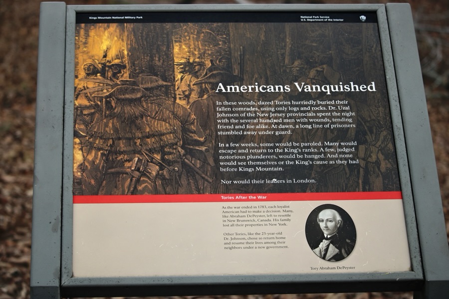
The Battlefield Trail contains several story boards telling about the impact the Revolutionary War had on the Kings Mountain area and the Carolinas. It has monuments in various locations along the trail which have significant historical relevance to the Revolutionary War and the Soldiers who fought against the British. It is a semi-paved trail in natural surroundings.
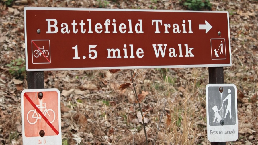
After arriving at Kings Mountain National Military Park, Coleman and I checked out the museum prior to hitting the trail for our adventurous journey. Once we left the Museum/Visitor Center, we had to decide which way we wanted to go to begin our hike.
Do we go to the left or right?
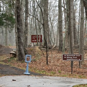
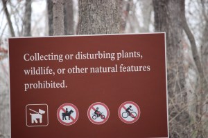
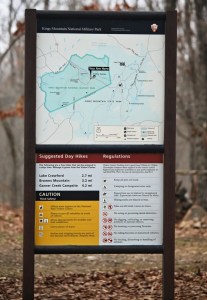
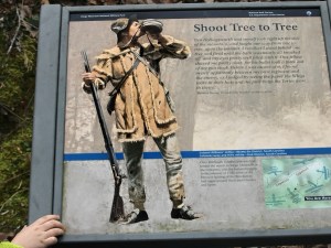
We read the sign which indicated which way the Battlefield Trail was located. Therefore, we followed the signs directions and began hiking to the left. We ran across various signs along the way … some that instructed us on what not to do, some that told about a specific area, and a few that informed about park regulations or gave us hiking suggestions.
Battlefield Trail
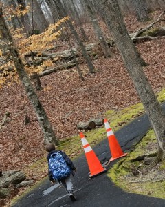
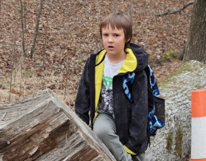
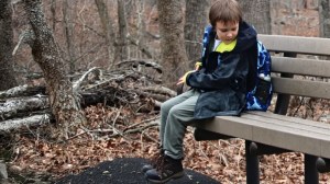
Hiking along we see stone monuments dedicated to fallen soldiers, orange cones alerting us to dangerous areas, and Coleman discovers interesting places to Pull Up a Seat.
Sacred to the memoryof … Coleman Pulls Up a Seat on a logShoot Tree to TreeColeman Pulls Up a Seat on a Bench One of many Story BoardsBattlefield Trail
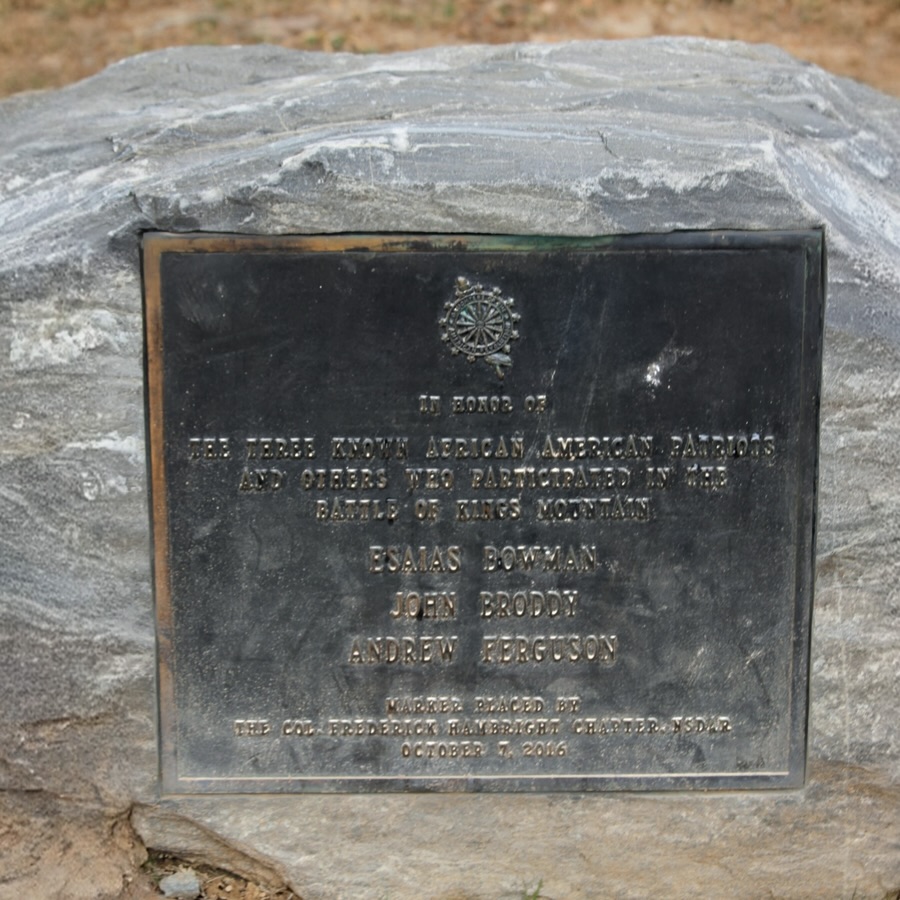
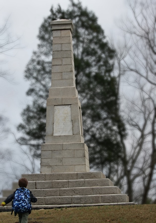
Hiking further up (and I mean uphill)along the trail we spot more monuments with information indicating their significance in history.
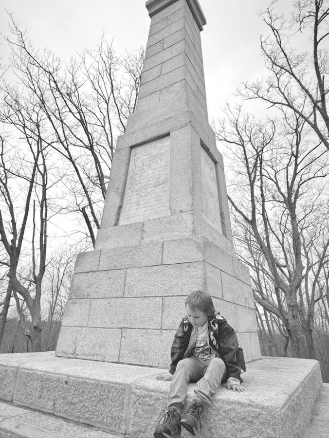
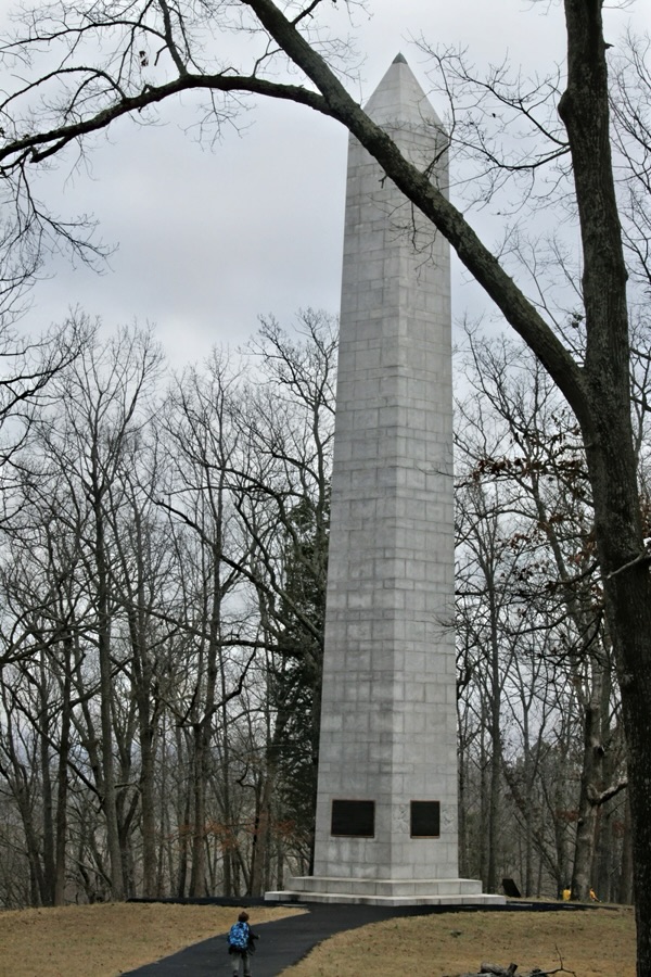
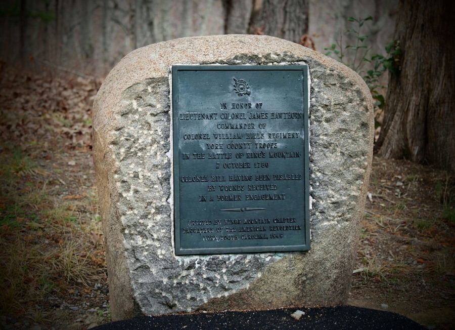
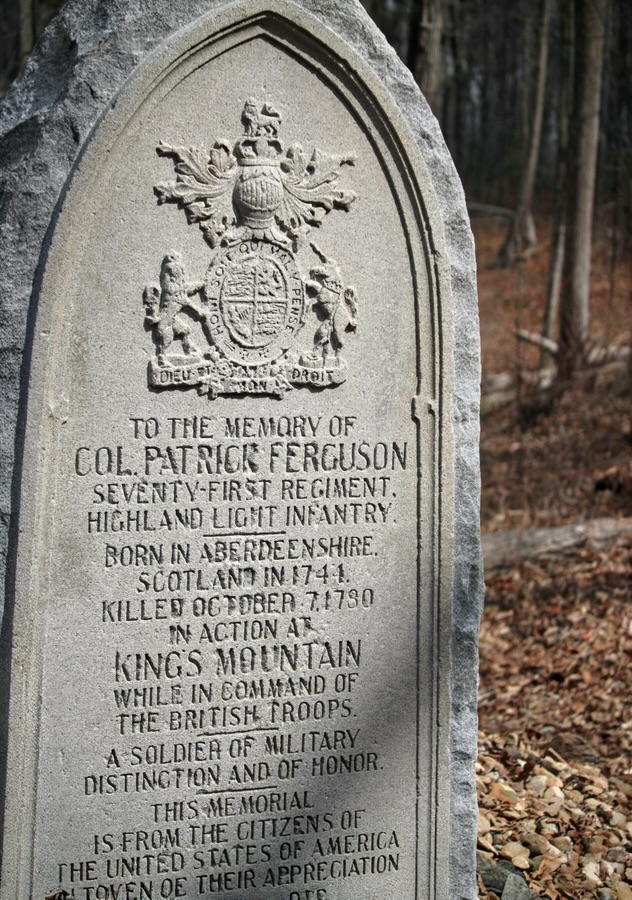
In Honor of the Three Known African-American Patriots…Coleman approaches the largest and tallest monument Coleman Pulls Up a Seat on a Monument This is a different monument Coleman is investigating In Honor of Lieutenant Colonel James Hawthorne …Coleman takes a break Pulling up a Seat on the TrailTo the Memory of Col. Patrick Ferguson …American Vanquished Battlefield Trail Directional SignThe end
Thank you to those who have participated and supported the Which Ways Challenge. I appreciate y’all sharing your Which Ways with us.
For an idea of other’s Which Ways from this past week’s challenge, be sure to click on the following links below.
This Friday’s Which Way Challenge we will be continuing with Any Which Way in Black and White in memory of Cee and her Black and White Challenge (CBWC).
In Memory of Cee’s Black & White Challenge
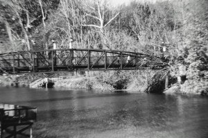
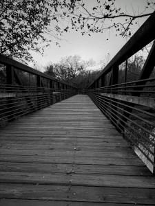
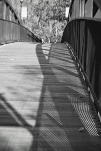
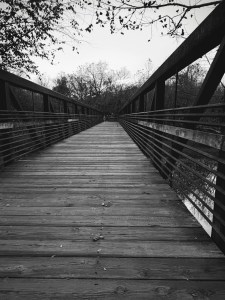
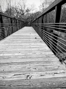
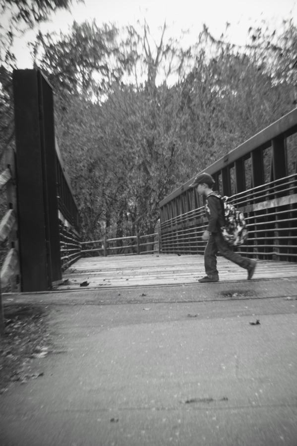
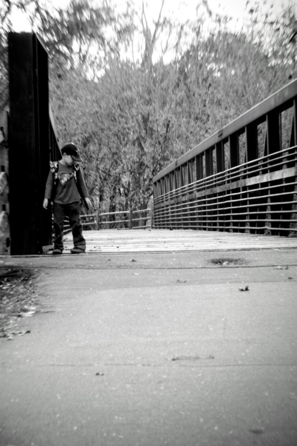
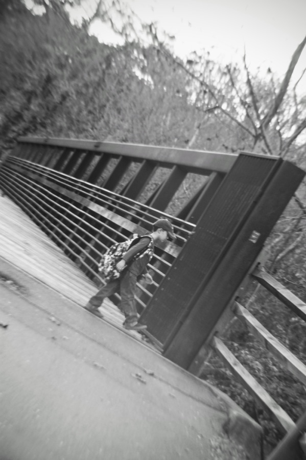
I have selected to post Black & White shots of Bridges in memory of Cee’s love of Bridges.
Coleman and I had such a lovely time together walking through the trails in Goat Island Park and Greenway on Sunday …
… I just had to share a little bit of our hike with y’all.
This is the first Bridge you cross when you enter Goat Island. Coleman is waiting for me to catch up …
Continuing on the Bridge, we see some amazing #Shadows ( I know this is not squared).
Here we’ve come to the second Bridge one crosses leading to the Dog Park.
And Finally, here is the third Bridge …
Coleman pacing back & forth … He ran ahead … I do not walk as fast.
From here it is just a little bit further to the end of the trail where there are benches you can relax and rest up for the hike back to the entrance of Goat Island Park and Greenway where our adventures began.
Click on each image to enlarge.
Thank you to all who have supported and contributed to the Which Way Challenge this past week or at any time. Be sure to check out other Which Ways by clicking on the links below.
God Bless. Get Outdoors. Enjoy a hike/walk in Nature. Admire Nature’s Beauty. Thank you for visiting and sharing your time and thoughts with us. I appreciate y’all very much.
Bridge @ Lineberger Park Gastonia, North Carolina Kings Mountain State Park Blacksburg, South Carolina GARDEN OF THE WAXHAWS TRAIL Andrew Jackson State Park Lancaster, South Carolina The Founders Trail is a beautiful natural surface trail along the Catawba River with a sidewalk connection to the Riverwalk: Piedmont Medical Center Trail and River Park. Located in the Fort Mill/Rock Hill area of South Carolina. These bridges are at various locations along the Blue Star Trail within Anne Springs Close Greenway which crossover the many creeks, streams, and other waterways connecting many trails for individuals to enjoy hiking and exploring the Greenway. Fort Mill, South Carolina
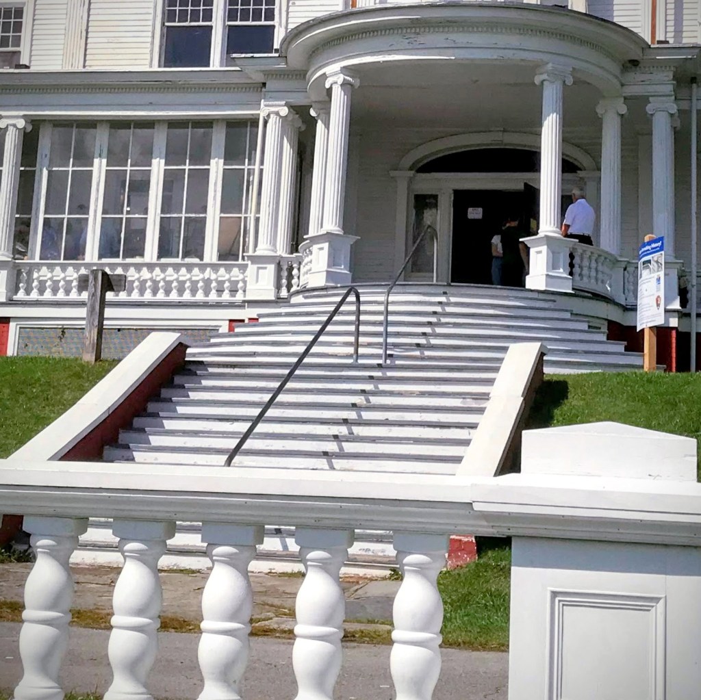
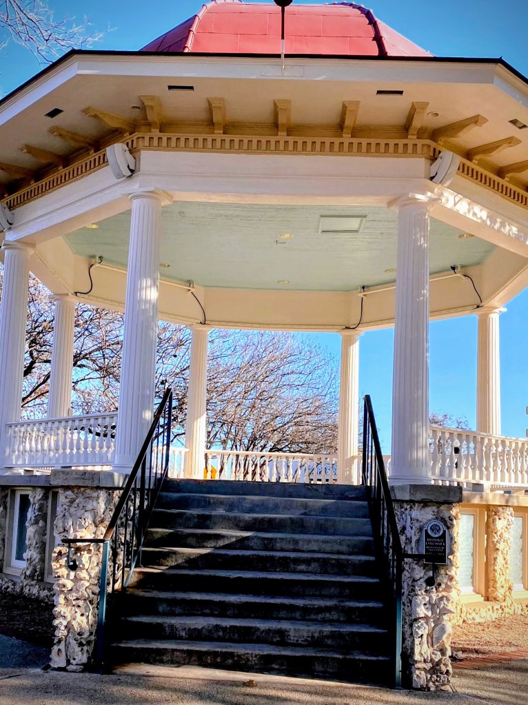
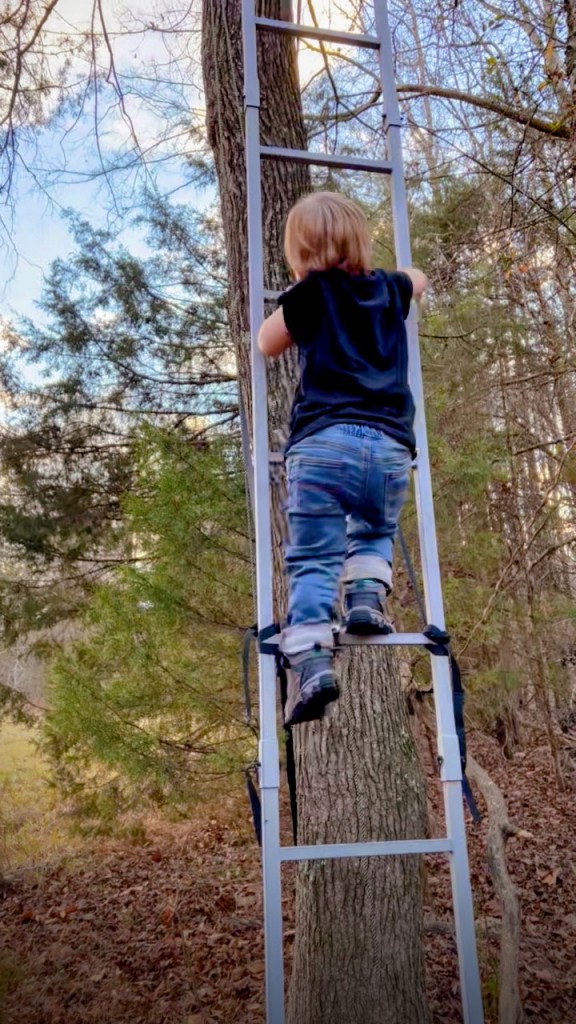
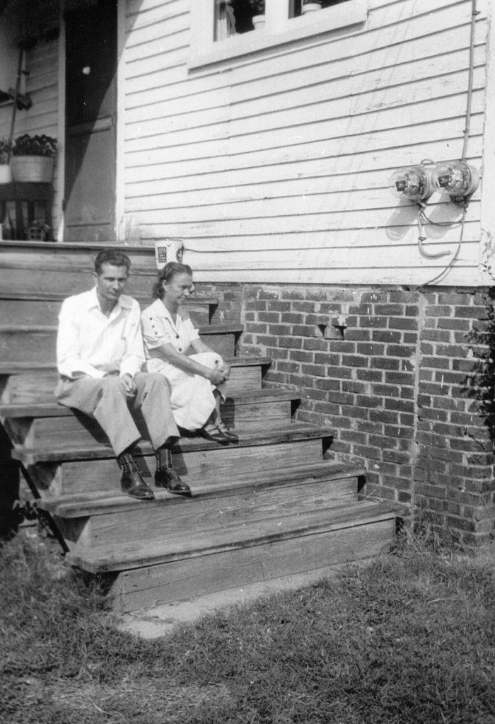
The Cone Manor Moses H. Cone Memorial Park Der MusikpavillonPlayground stairs (Ladders)Andrew Jackson State Park Andrew Jackson State Park Anne Springs Close Greenway Crowders Mountain State Park Clover, South Carolina 14 Walnut Street Great Falls, South Carolina
God Bless. Thank you for visiting my upstairs downstairs stairs and steps. Thank you for sharing your time and thoughts with me. I appreciate y’all very much.
Welcome Cee and thanks for taking on the Which Way Challenge. I appreciate you and am looking forward to all you have to bring to challenge us on our Which Way Challenge adventures.
I’ve held off posting a which way challenge knowing you were taking over. Most of my “roads” are trails Coleman and I hike. I hope you’ll enjoy comingalong on our Which Way hiking adventures.
I know only the first photo has an actual road in it, however, Coleman and I mostly travel on dirt pathways. We walk most everywhere, sometimes riding the bus to get to a location where we plan to hike. Hopefully next time I’ll be able to be more in tune with the theme.
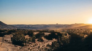
![CWWC 2026: Any Which Way with Autumn Leaves [10.02.2026-10.09.2026].](https://gfpacificbeeintrospection.com/wp-content/uploads/2025/06/image-1-1.jpg?w=489)

![Which Way Challenge (CWWC) 2026: Any Which Way in the Evening (With or Without Rainy Weather) [09.25.2026]](https://gfpacificbeeintrospection.com/wp-content/uploads/2026/08/untitled-august-02-2026-at-16.34.18.jpg?w=393)
![Which Way Challenge (CWWC) 2026: Any Which Way (Your Choice) [09.18.2026]](https://gfpacificbeeintrospection.com/wp-content/uploads/2026/09/pict0097_september-1963_19-copy.jpg?w=900)