Welcome back to another Which Way Challenge (CWWC). This week I have chosen Any Which Way with Shadows and/or silhouettesfor this week’s theme. Shadows can be on any path, sidewalk, trail, or road as long as the Which Way is clearly discernible. For further information regarding the Which Way Challenge (CWWC) feel free to check out the home page here.
Here are my entries …
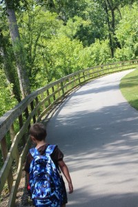
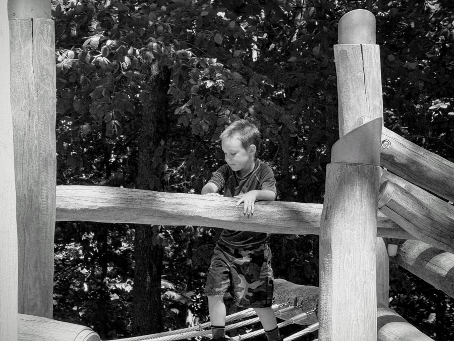
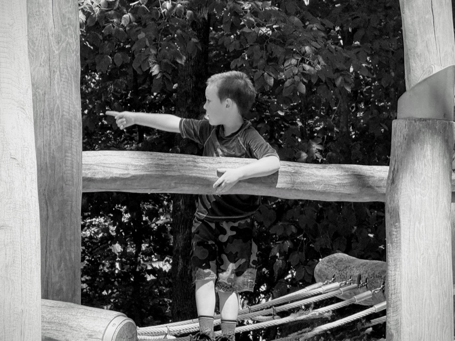
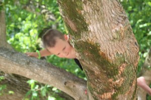
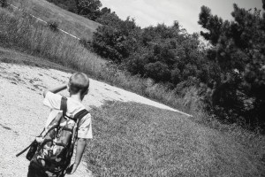
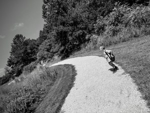
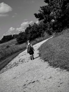
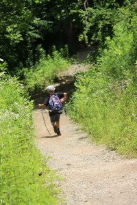
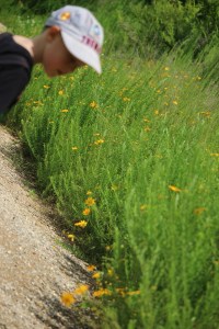
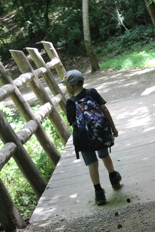
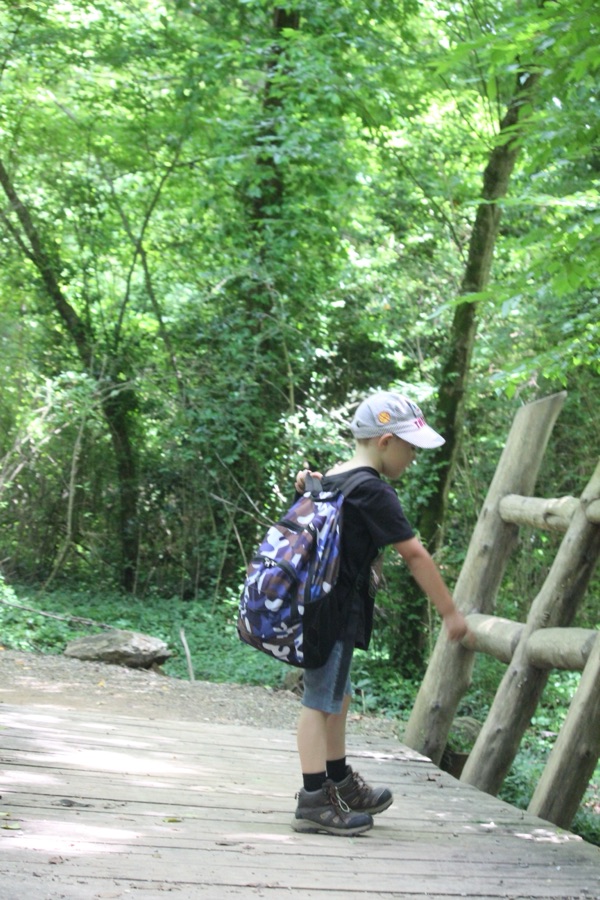
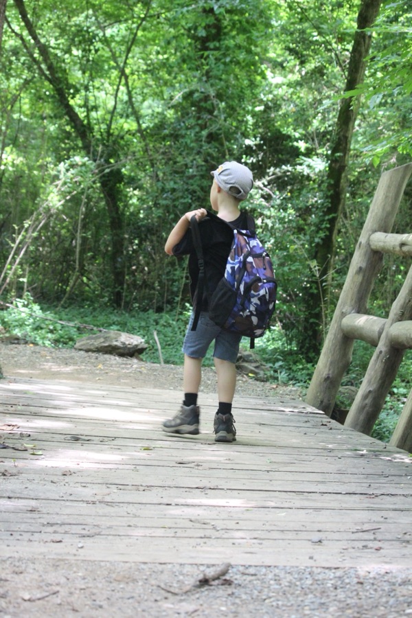
Coleman’s Shadows/Silhouettes
Coleman
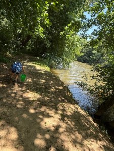
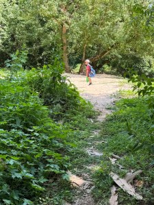
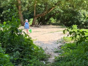
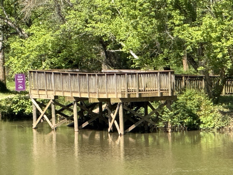
Taken at Goat Island Park and Greenway at the end of the Riverlink Greenway Trail located in Cramerton, North Carolina.
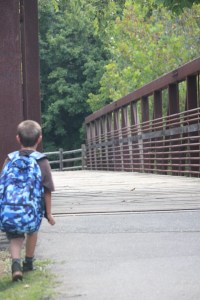
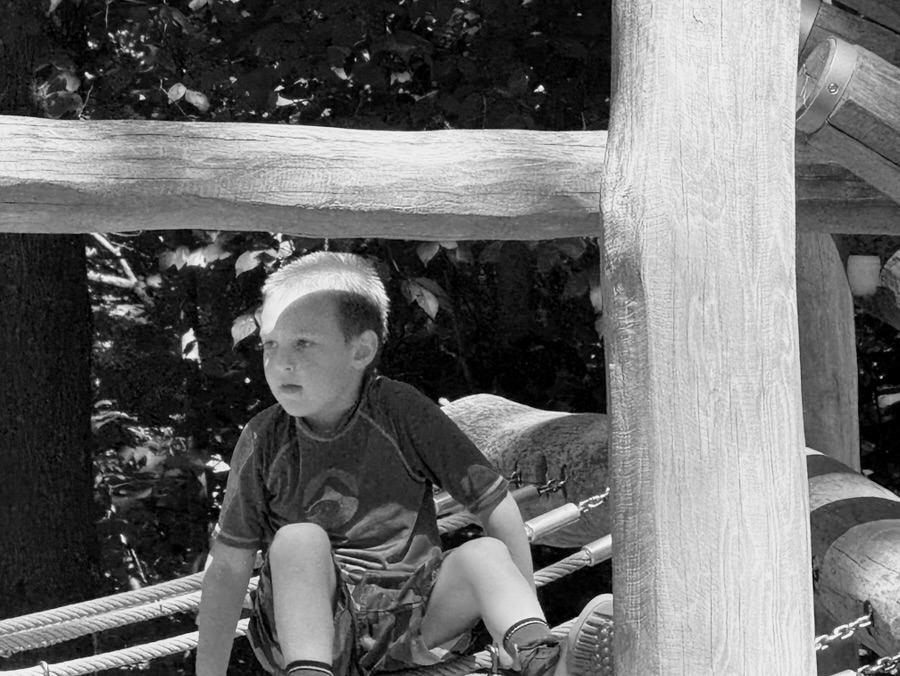
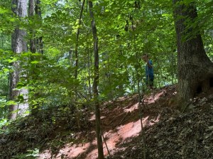
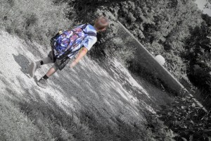
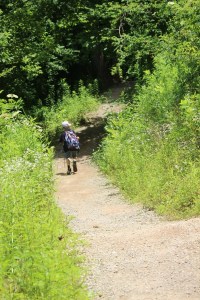
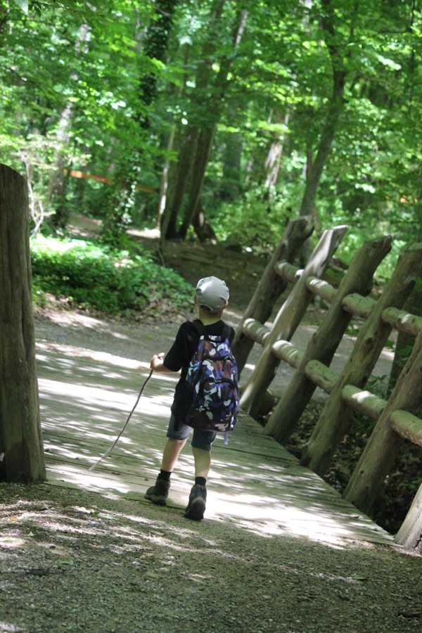
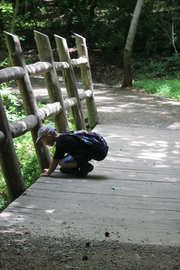
Coleman’s arm over his Shadow/Silhouette
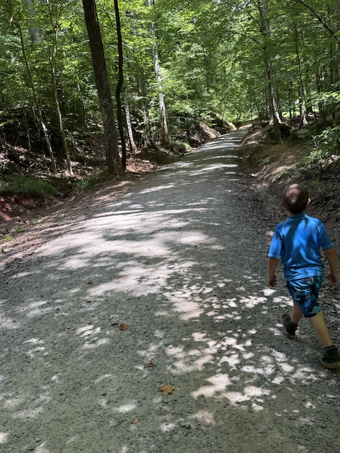
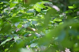
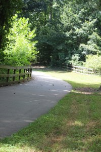
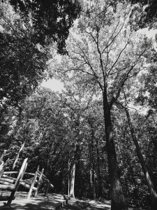
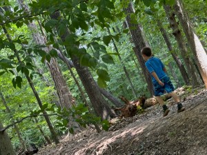
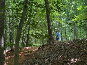
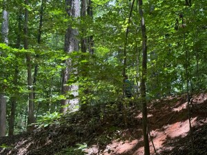
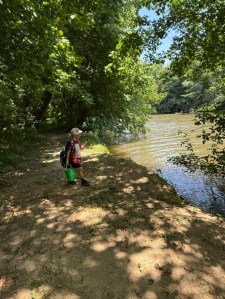
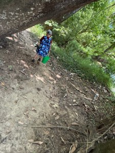
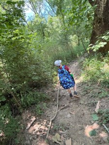
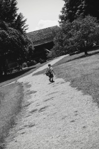
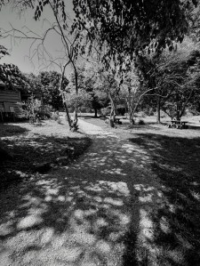
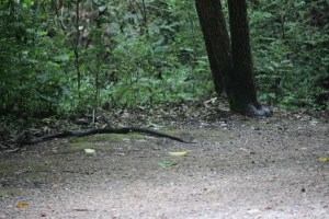
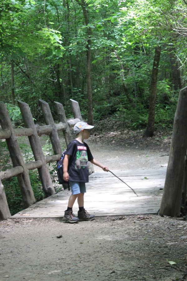
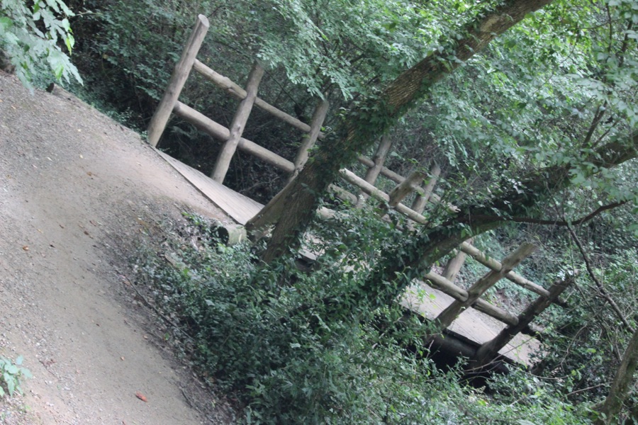
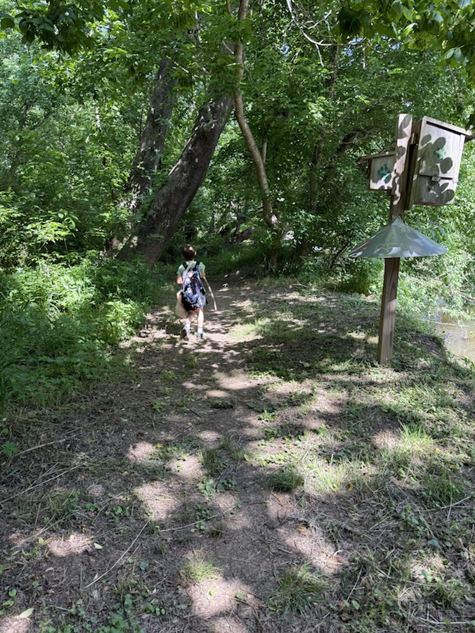
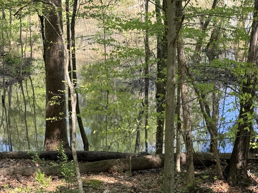
Trees and their Leaves Shadows
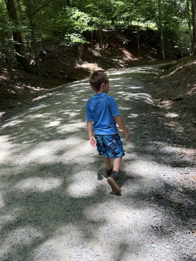
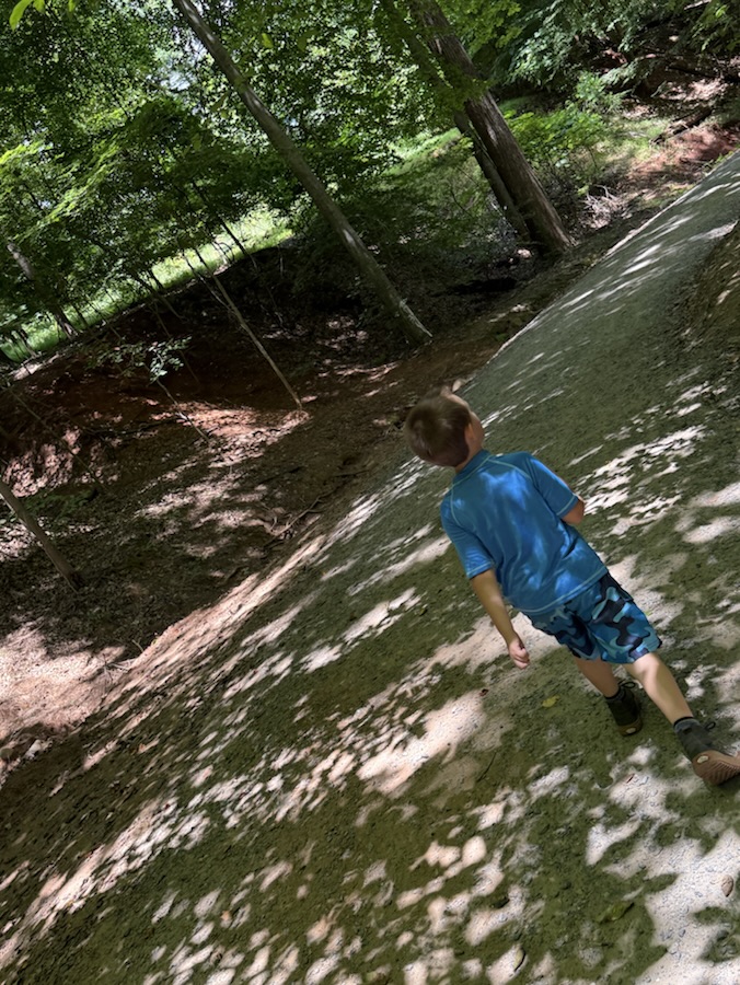
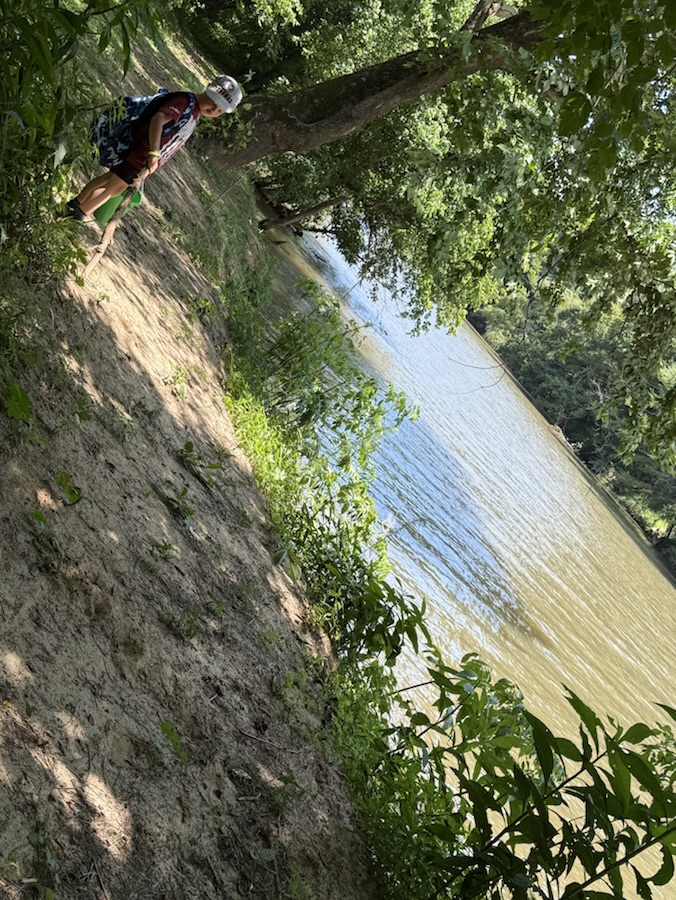
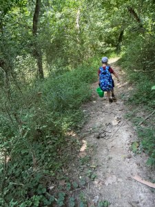
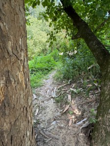
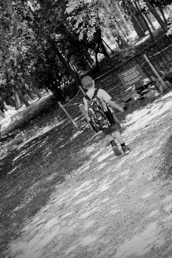
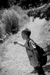
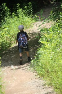
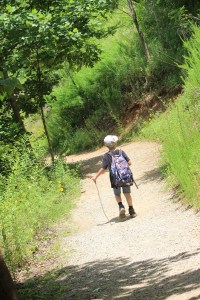
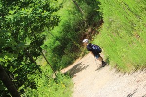
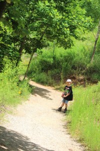
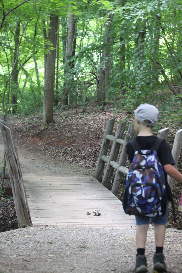
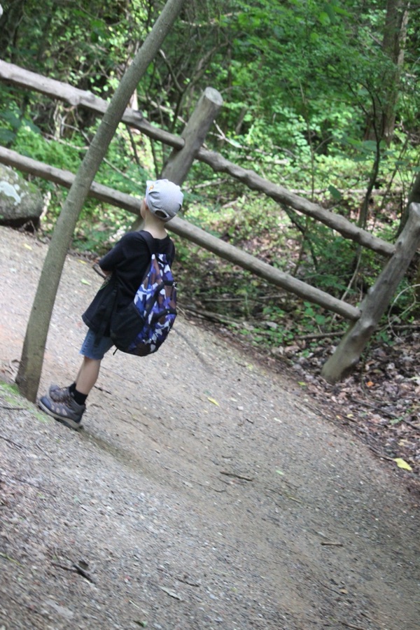
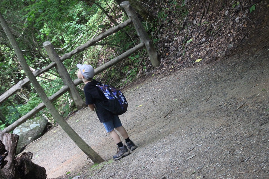
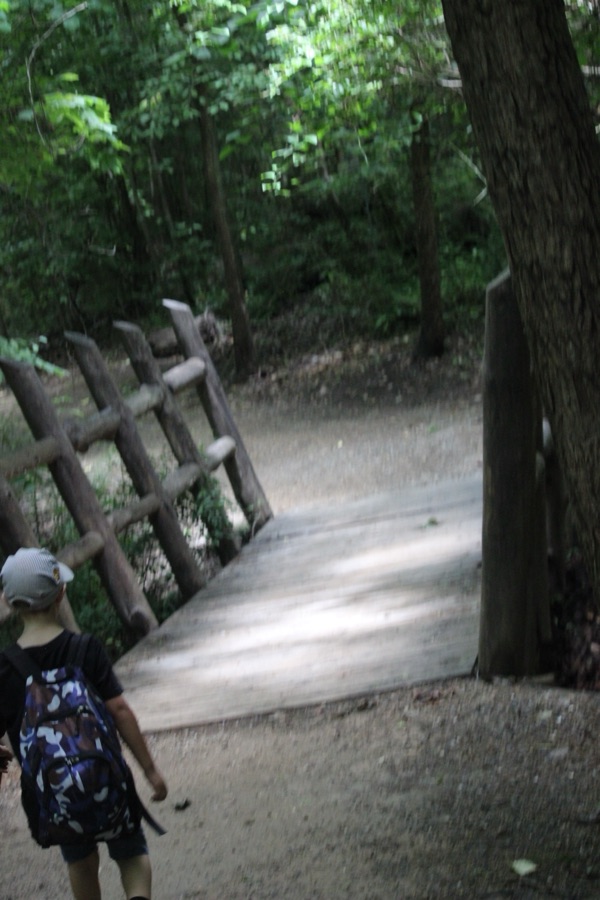
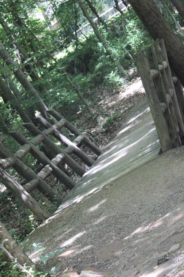
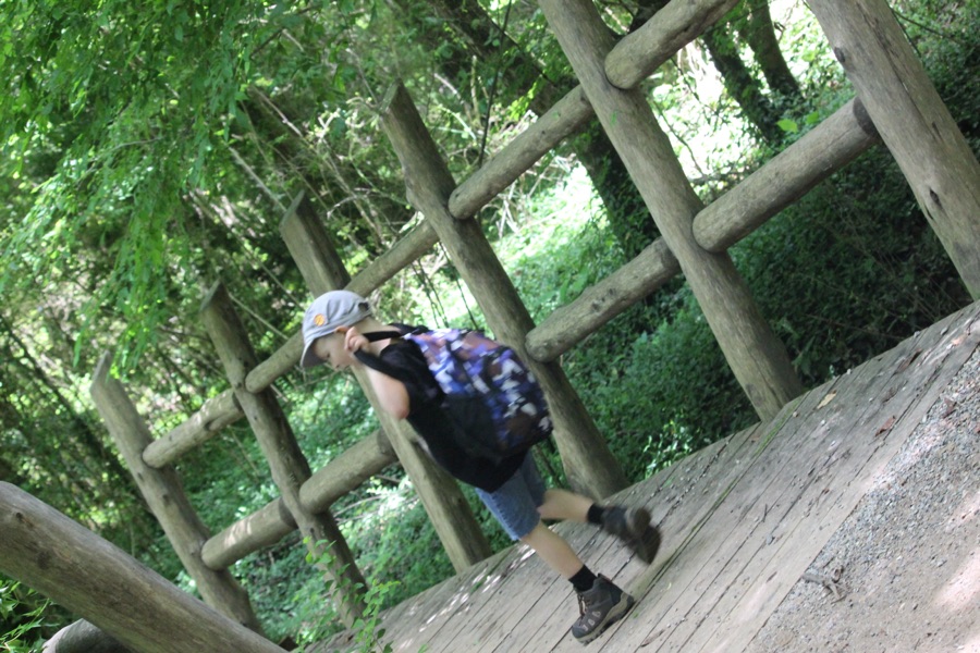
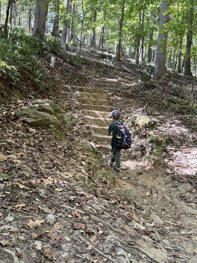
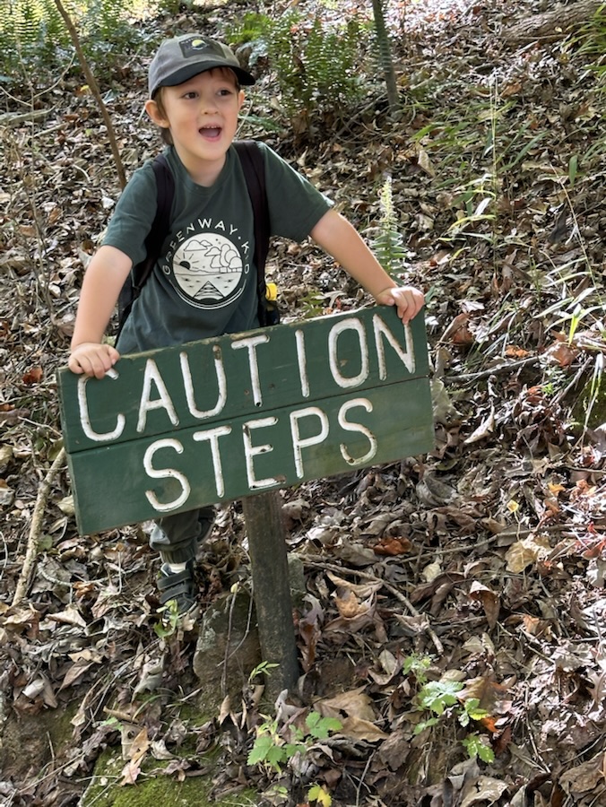
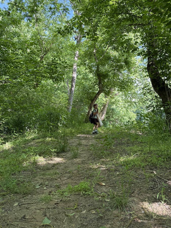
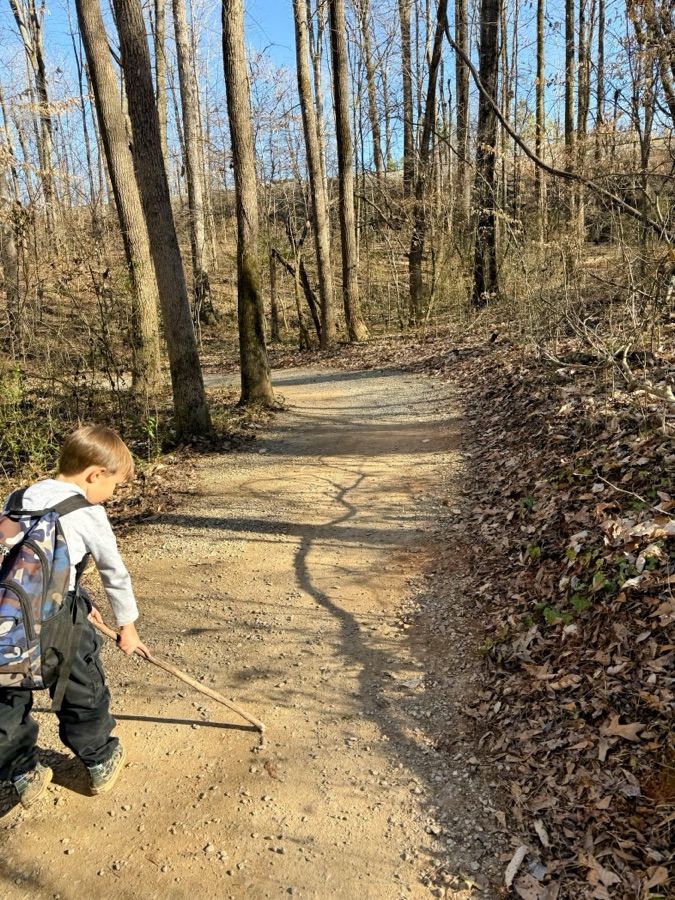
Coleman hiking down to the Spillway amongst many Shadows
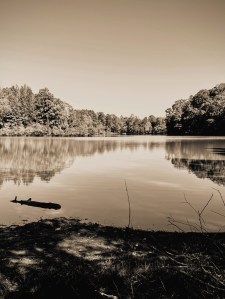
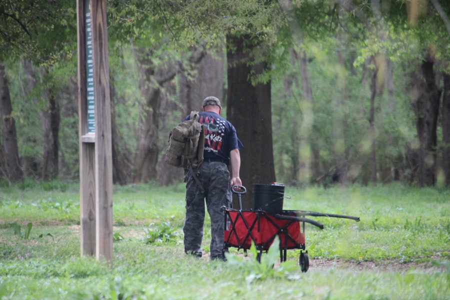
The above Shadows were captured at the Lake Haigler Entrance of the Anne Springs Close Greenway in Fort Mill, South Carolina.
Thank you to all who have supported and contributed to the Which Way Challenge this past week or at any time. Be sure to check out other Which Ways by clicking on the links below.
Cameras: 1-2) Canon EOS Rebel T3i with Canon EF-S55-250mm lens and Altura UV & CPL filter attachments; 3-7) Apple iPhone 16 Pro Max
Locations: As Stated Above
God Bless. Get Outdoors. Enjoy a hike/walk in Nature. Admire Nature’s Beauty. Thank you for visiting and sharing your time and thoughts with us. I appreciate y’all very much.
Location: Andrew Jackson State Park, Lancaster, South Carolina, USA
God Bless. Get Outdoors. Enjoy all of Nature’s Beauty. Thank you for visiting and sharing your time and thoughts with us. I appreciate y’all very much.
We have had several thunderstorms this week, so therefore we haven’t been out and about much. Instead I’m reminiscing about a trip I took a few years ago with my oldest son for his birthday adventure. Since he wanted to drive the Blue Ridge Parkway, I was more than happy to ride along with him.
My entries for this week’s challenge are views from just one of our stops we sidetracked on during his Mountain adventure.
Taken at 10:54 am (late morning) in 2017
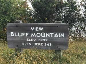
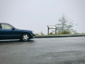
Bluff Mountain Overlook is located at Milepost 243.4 on the Blue Ridge Parkway. It is a popular destination along the Blue Ridge Parkway. Bluff Mountain is visible from the Bluff Mountain Overlook. It offers breathtakingly spectacular views.
Foggy Morning Mountain View
On a clear day, Bluff Mountain’s visibility is remarkably satisfying and amazingly delightful to gaze upon from the Overlook. At this point in our adventure clear visibility was not to be had, but that did not deter ills from looking around or venturing on a short hike along the Bluff Mountain Trail which is easily accessible from the Bluff Mountain Overlook.
Alligator Back
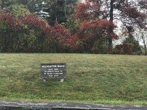
Bluff Mountain Trail passes through grassy meadows and includes a challenging switchback ascent called Alligator Back. Alligator Back is a short twenty (20) minute walk from Bluff Overlook.
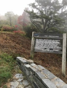
The Predators
Until recently Predatory Birds and Mammals, those which preyed on other animals or were in conflict with humans, were termed “Varmints” and killed on sight. Fortunately, modern Ecology proves the vital interdependency of all wild plants and animals. Today Hawks and Owls, Black Bears, Bobcats, Foxes and Snakes continue to roam Parklands like this and help preserve the delicate balance of nature. [Informational notice on sign.]
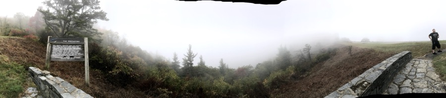
Panoramic View from Bluff Mountain Overlook
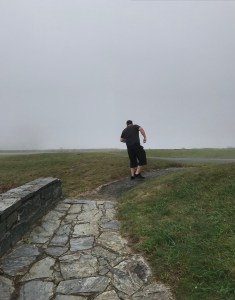
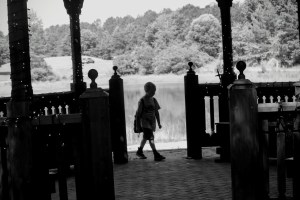
We hiked all around the overlook investigating the Predator area scenic views. To the right in the photo above and in the picture below is my eldest son, John. He is not normally into hiking, but he accommodated me in my thrill to explore the sights and perspective landscapes available to observe, explore, and admire.
My eldest son, John
As we drove further along the Blue Ridge Parkway our visibility improved dramatically unlike when we parked here at this location and the Air Bellows Overlook.
Air Bellows Overlook Parkway Milepost 236.9
Looking forward to checking out all your Morning Scenes. Hope to see y’all on Friday for the Which Way Challenge. This week we’ll be including Shadows in our Which Ways. Interested in finding more details about the Which Way challenge click here.
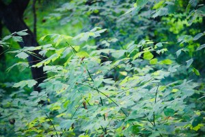
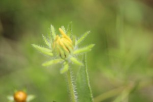
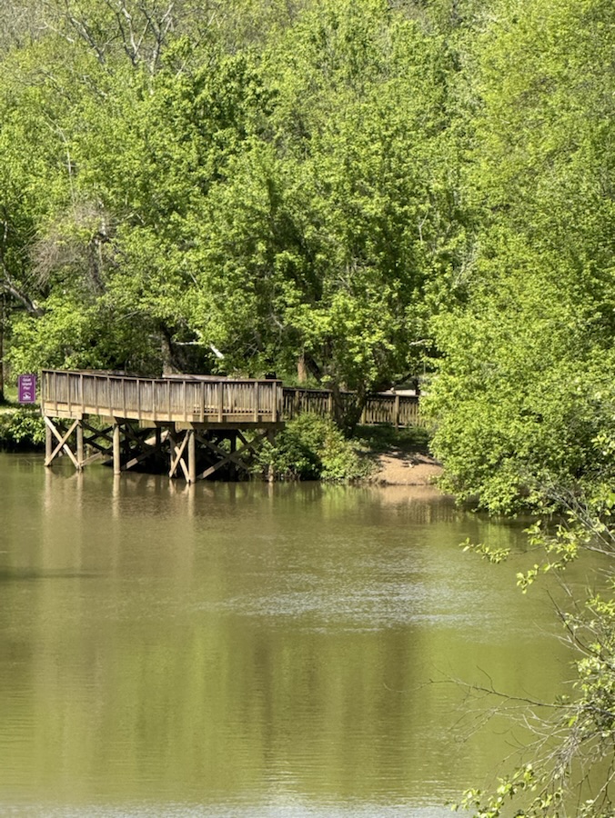
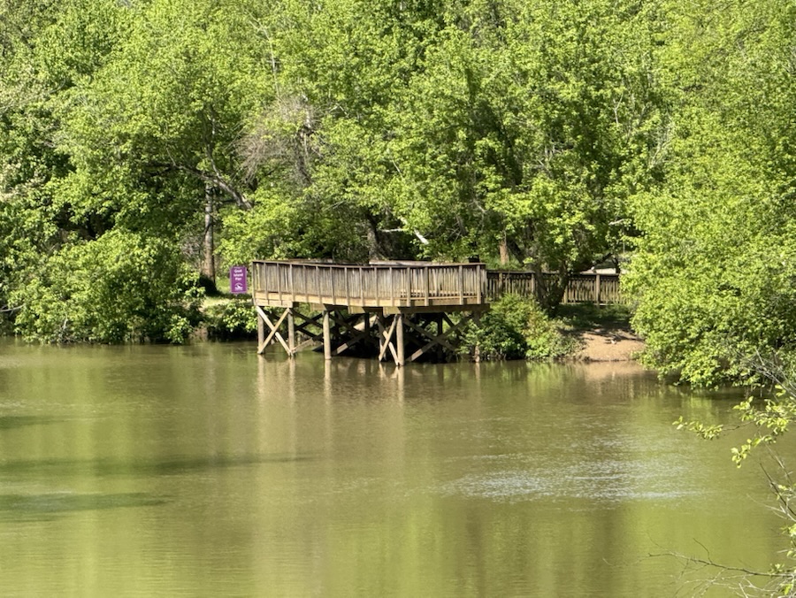
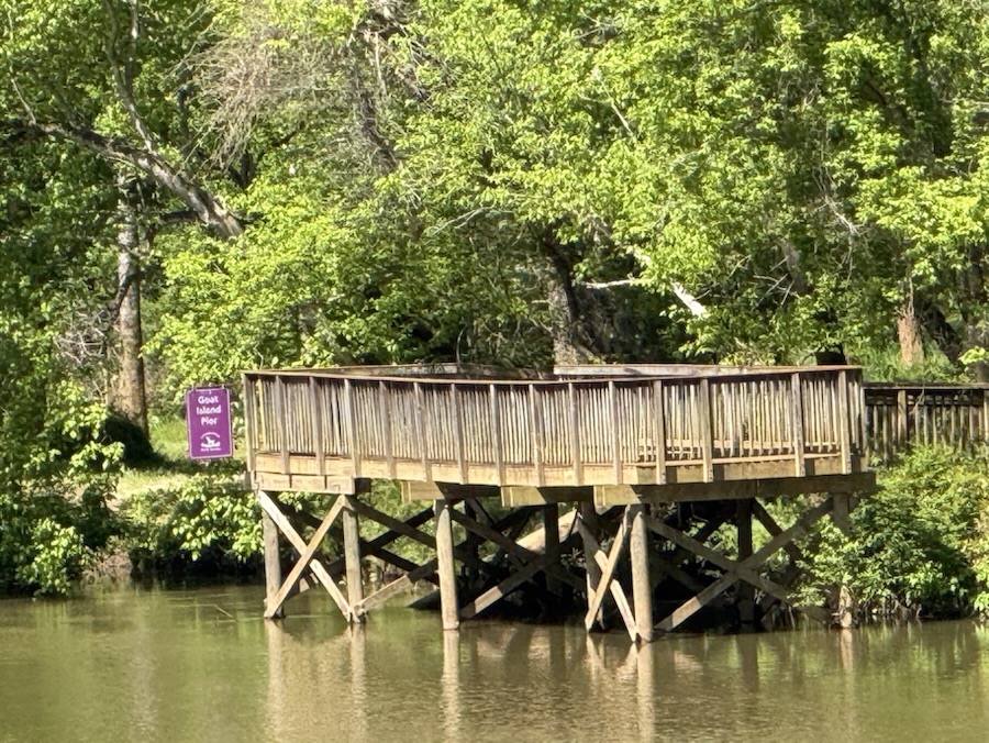
Hiking along the Riverlink Greenway Trail at Goat Island Park and Greenway we tree y to observe everything around us. The objects along our foot path regardless of whether they are on the trail or along the side of its side.
Tree Leaves near the edge of a Trail
The sun bounces off the leaves differs slightly from one spot to another giving interesting contrasts that seem to stand out calling you to take a closer look.
Sun shining on Green Leaves
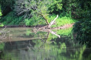
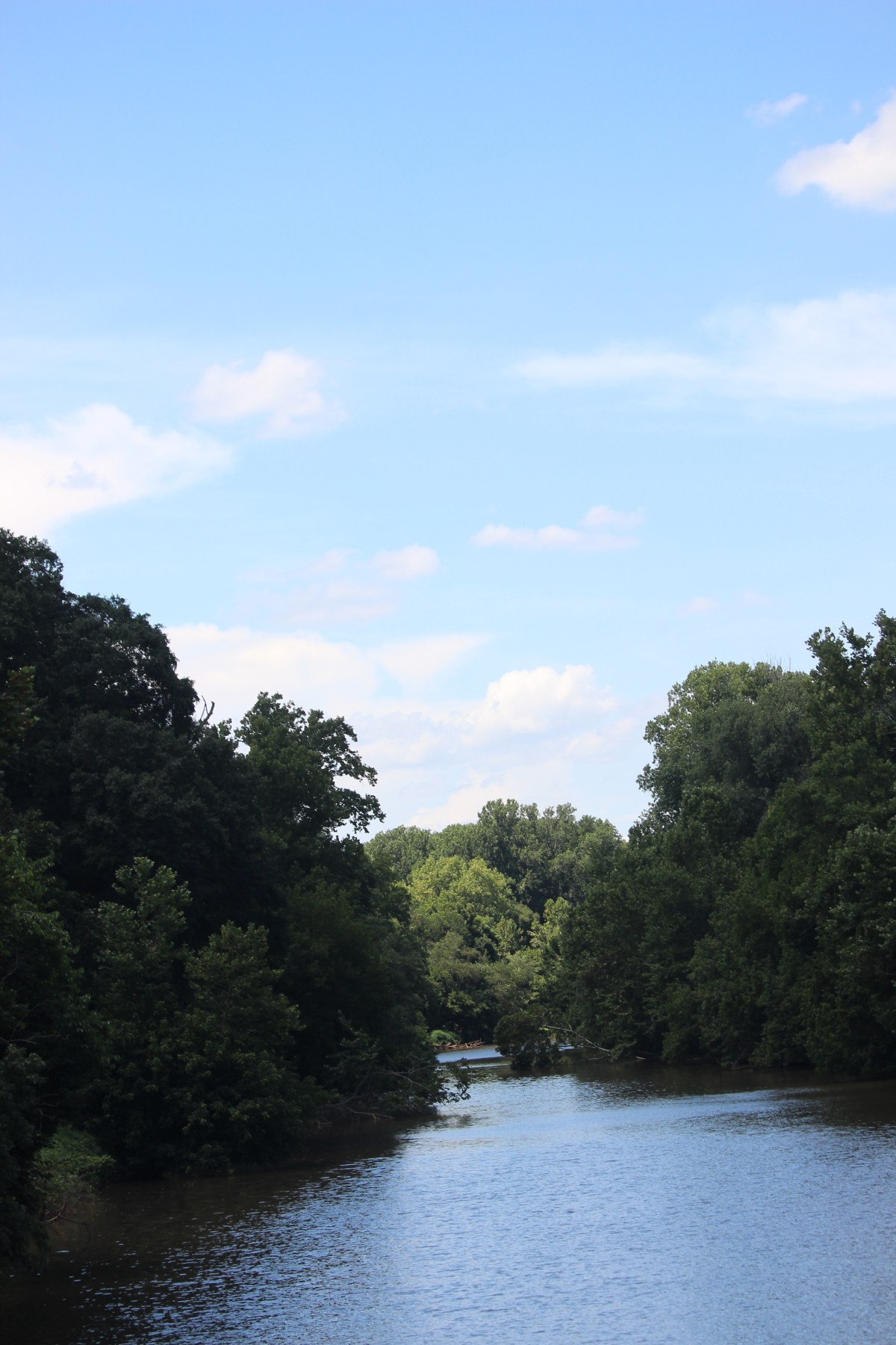
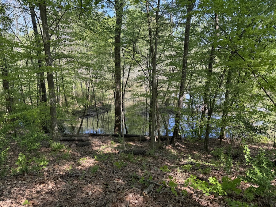
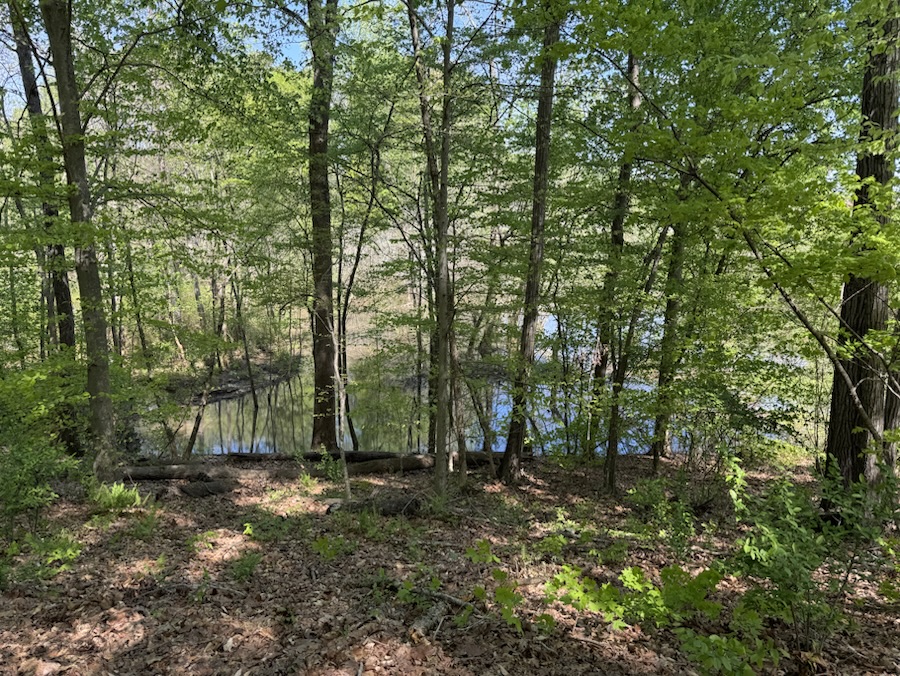
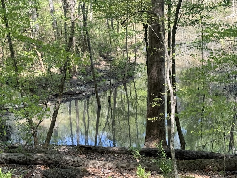
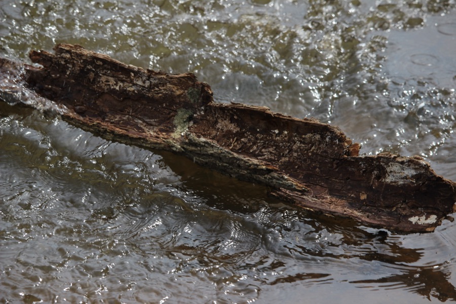
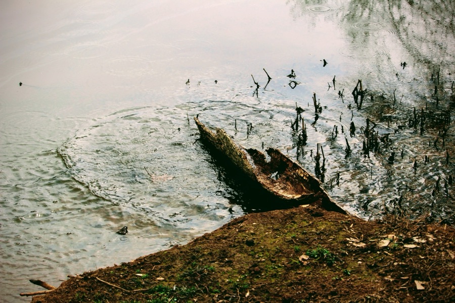
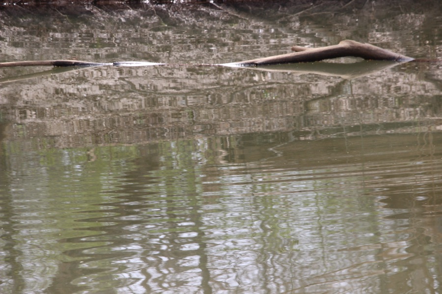
The glistening rays reflect varying shades of green in the river below. What captured my attention, at first, were the broken tree branches strewn across the waters of the South Fork Catawba River. The water reflections were an added bonus.
Green Water Reflections
Skipping down the road to another Greenway in town; (also apart of the Carolina Thread Trail) the Riverside Park and Greenwaywe encounter interesting plants and trees along the trail pathway.
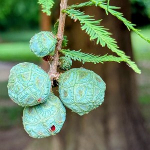
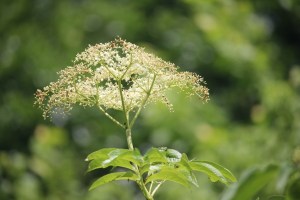
Taxodium distichum Seed Pods (baldcypress, bald-cypress, bald cypress, swamp cypress)
I found these seed pods fascinating. I was not sure what they were when I first saw them, but they stood out and begged for me to capture them. Looking them up, I discovered these are Bald Cypress seed pods. The Bald Cypress trees are native to the Southeastern United States of America.
Cameras: 1-3) Canon EOS Rebel T3i with Canon EF-S55-250mm lens and Altura UV & CPL filter attachments; 4) Apple iPhone 16 Pro Max
Locations: 1-3) Riverlink Greenway Trail; Carolina Thread Trail; Goat Island Park and Greenway; 4) Riverside Park and Greenway; Carolina Thread Trail; Cramerton, North Carolina, USA
God Bless. Have a fantastic week. Get Outdoors and enjoy Nature. Thank you for visiting and sharing your time and thoughts with us. I appreciate y’all very much.
Hope y’all have had a fantastic week so far. It’s Friday already and time for another Which Way Challenge. This week we are continuing with the theme of(CWWC): Any which way with lines. This is the Second (2nd) week of the Which Way Challenge of Any Which Way with Lines. Remember your Which Ways should be clearly discernible. Signs are always welcome in your Which Way post. The photos can be ones you’ve taken recently or from your archives. Let’s all have fun!
Here are my Which Ways for this week’s challenge …
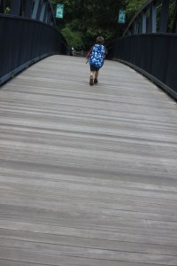
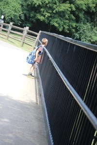
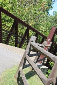
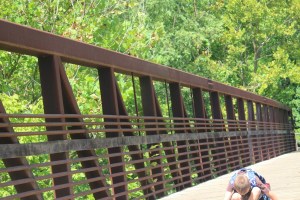
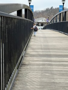
Coleman on Goat Island BridgeColeman waiting for me to catch up. He’s looking through the fence lines hoping he can go play on the playground. Another Bridge & fence rails in Goat Island Park and Greenway Coleman checking the lines in the wood planks is a bridge. A Blooper – It does show the lines in the wooden sitting area at the end of the trailColeman + all sorts of linesColeman at Goat Island Park and Greenway
For enhanced/enlarged viewing click on each image.
Thank you to all who have supported and contributed to the Which Way Challenge this past week or at any time. Be sure to check out other Which Ways by clicking on the links below.
Good Day! This being an off week for Monochrome Madness I am doing my own thing, not following with Sand patterns or fence posts like Leanne or Brian. Hope you will not tire of seeing my grandson, Coleman.
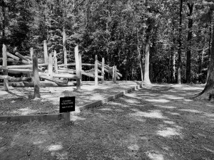
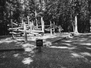
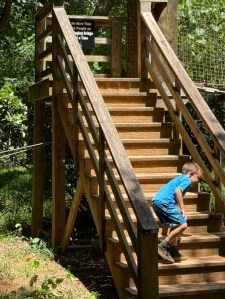
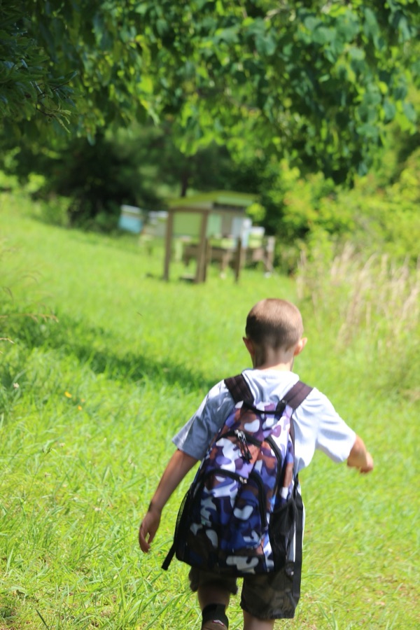
Today I am continuing the Coleman’s adventures in the Greenway from his birthday adventures. After cooling off in the Spillway, it was drying off time which (for Coleman) meant playtime in Schroering Forest Playground.
The Schroering Forest Playground is nestled amongst trees a short distance from the Domtar Forest Porch (featured here) where we relaxed sipping cool refreshing water.
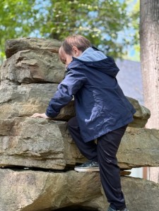
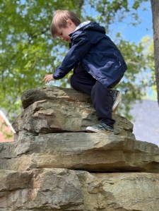
Climbing Structure for ages 5 and Up
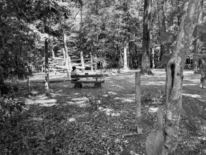
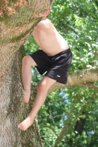
The climbing structure is Coleman’s favourite area to play in the Schroering Forest Playground. He has always loved to climb and is not afraid to climb anything (even though, I think his mom is sceptical). She’s probably worried he’ll fall, however, I’m not worried he climbs anything and everything anytime anywhere.
The Schroering Forest Playground was constructed in the Lake Haigler Entrance to Anne Springs Close Greenway in 2024. The intention of this unique playground is to reteach children how to play in the woods.
A mom (aka Coleman’s mom) watching her son enjoying the Playground.
The playscape and structures are specially crafted to help activate sensory skills, foster creativity and problem-solving through free play, reduce stress, increase physical activity, develop confidence in the outdoors, improve cognitive abilities and facilitate outdoor learning. Key features of the Schroering Forest Playground include a central climbing structure for older children and a corresponding structure for younger guests.
Coleman
I’ve been taking Coleman to play in the woods and interact with nature since he could walk. He prefers being outdoors and in the woods over being in the house any day. He enjoys hiking all the trails in Anne Springs Close Greenway and if he can combine hiking with playing all the better as far as he is concerned.
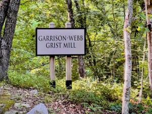
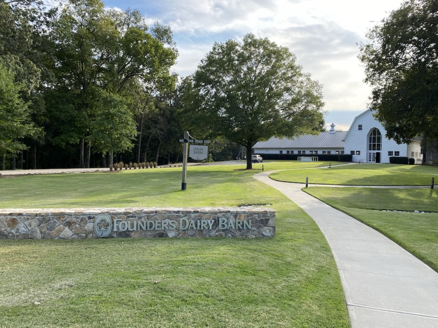
Located on the property of Anne Springs Close Greenway is the Garrison-Webb Grist Mill. The Garrison-Webb Grist Mill was established in 1780 and operated for approximately one hundred (100) years.
Garrison-Webb Grist Mill Sign
The mill was located along the banks of Steele Creek by Isaac Garrison and Theodoric Webb, who bought the land from Thomas Spratt. The mill was located near the first of four sanctuaries of Unity Presbyterian Church, a log structure built in 1788. This small collection of homes and other structures was named “Little York.”
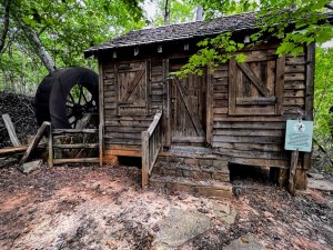
The Garrison-Webb Grist Mill
In 1830, it was decided to name the town Fort Mill referencing the Indian Fort near the Catawba River and the mill, referring to the Garrison-Webb Grist Mill along Steele Creek.
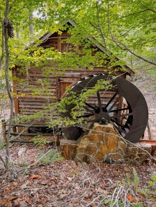
The Rear of the Garrison-Webb Grist Mill
After extensive research archaeological evidence of the gristmill was found in the northwest section of the Anne Springs Close Greenway. Over the 100 years the mill was operational its ownership passed through to several owners, including John Springs and William E. White. The original mill burned down in 1889, and it is unclear if it was ever rebuilt.
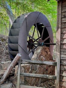
The Spinning Water Wheel of the Grist Mill
In 2008, the Anne Springs Close Greenway began efforts to recreate the mill in its original setting. The mill was designed to have a moving water wheel, but the wheel was not attached to any gears and was never intended to actually grind grain. The Greenway was mainly intended as a learning opportunity and to honor the history of the industry in the region.
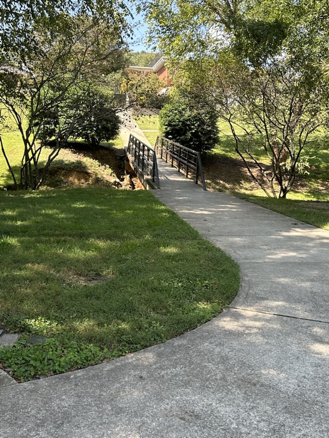
Visitors to the Anne Springs Close Greenway may visit the Garrison-Webb Grist Mill by hiking the Blue Star Trail beginning at the Blue Star Entrance to the Greenway. Once on the Blue Star Trail you’ll cross foot bridges and Steele Street (a paved public road) and continue down a hill to the mill, which was constructed in 1780.
Location: Garrison-Webb Grist Mill; Blue Star Trail; Blue Star Entrance; Anne Springs Close Greenway; Fort Mill, South Carolina, USA
God Bless. Have a funtastic week. Get Outdoors and enjoy Nature. Thank you for visiting and sharing your time and thoughts with us. I appreciate y’all very much.
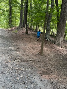
Coleman’s special day adventures began with a short hike through the🌲trees 🌲…
Coleman’s 6th Birthday Adventure
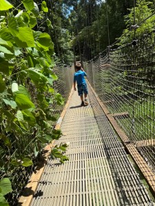
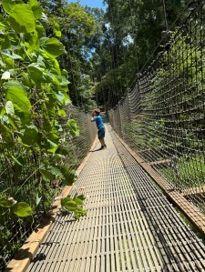
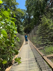
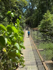
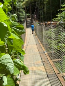
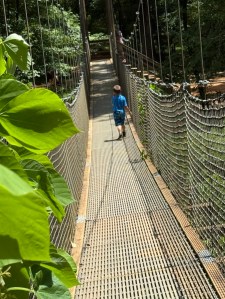
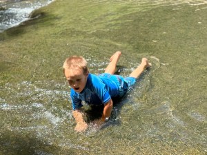
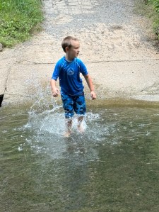
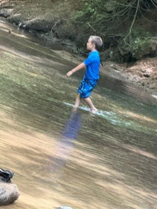
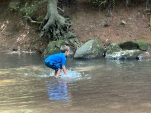
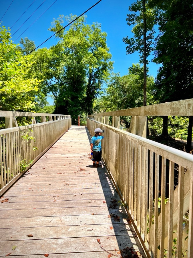
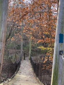
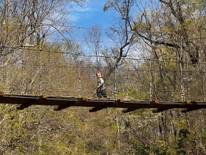
Next up on his special day adventures were a little bit of splash Funtime in the Greenway’s Spillway … but first he needed to cross the swinging bridge …
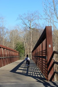
Greenway’s Swinging Bridge
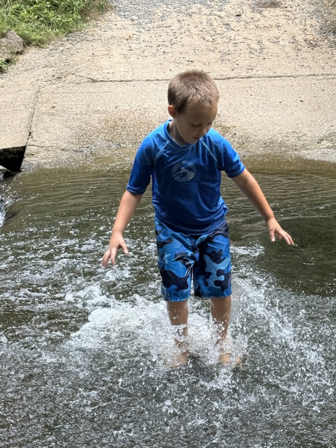
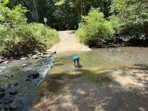
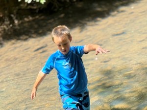
Now to see his Splashtime Funtime …
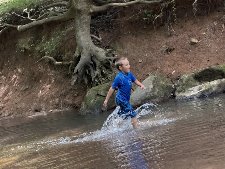
Coleman’s Funtime 💦 Splashing 💦 in the Spillway
The water level of the Greenway’s Spillway was really super low, however, that did not prevent Coleman from cooling off and having a Splashing good time on his Special Day Adventure.
Location: Lake Haigler Entrance; Anne Springs Close Greenway; Fort Mill, South Carolina, USA
God Bless. Have a funtastic weekend. Get Outdoors and Enjoy some Adventures. Thank you for visiting and sharing your time and thoughts with us. I appreciate y’all very much.
Camera: Canon EOS Rebel T3i with Canon EF-S55-250mm lens and Altura UV & CPL filter attachments.
Location: South Fork Catawba River; Goat Island Park and Greenway; Cramerton, North Carolina, USA
God Bless. Have a funtastic weekend and week ahead. Get Outdoors. Stay Cool. Stay Strong. Thank you for visiting and sharing your time and thoughts with us. I appreciate y’all very much.
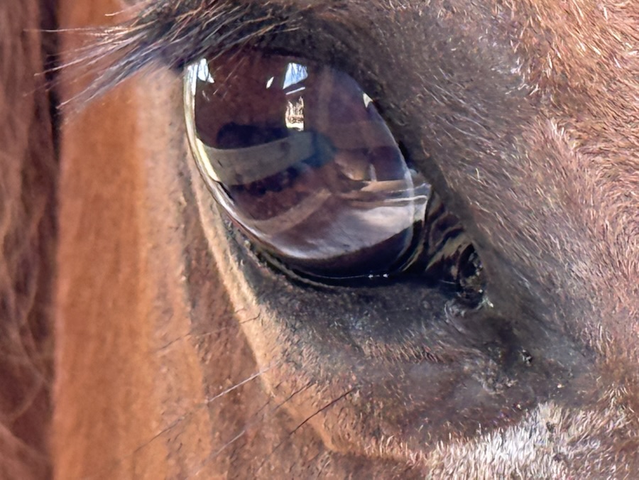
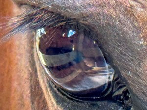
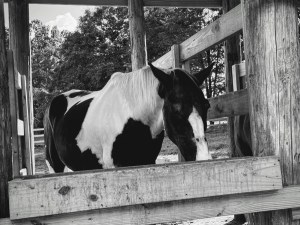
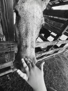
Location: Horse Stables Greenway Stables Entrance; Anne Springs Close Greenway; Fort Mill, South Carolina, USA
God Bless. Have a wonderful week. Get Outdoors. Take a Hike. Visit a Farm. Enjoy all of God’s Beautiful Creations. Thank you for visiting and sharing your time and thoughts with us. I appreciate y’all very much.
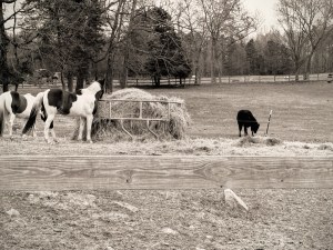
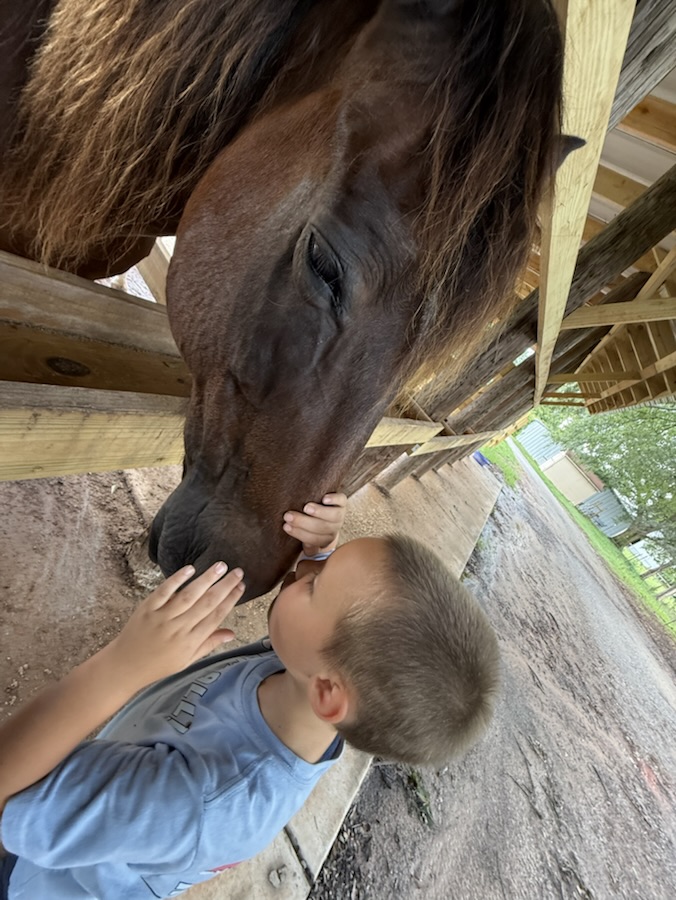
H’s were not hard for me to locate for this week’s MM challenge. Why was it so easy? We just recently took Coleman to visit the Horses at Anne Springs Close Greenway. He loves to visit and spend time loving on the Horses.
H is for Horses, Horse Stables and Hay …
Horses at Anne Springs Close Greenway
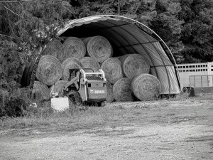
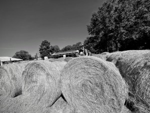
Naturally, where you find Horses you’re sure to find plenty of Hay and Hay bales when you visit the Greenway Stables.
H is for Hay and Hay Bales …
Round Hay Bales at Anne Springs Close Greenway
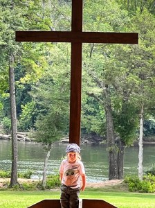
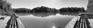
Now for a visit to one of the other four entrances to the Greenway. What’s a visit to the Lake Haigler entrance without a hike down to gaze over Lake Haigler.
H is for Lake Haigler …
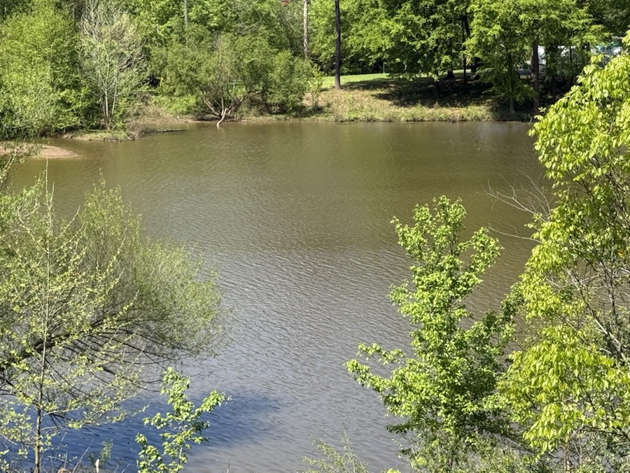
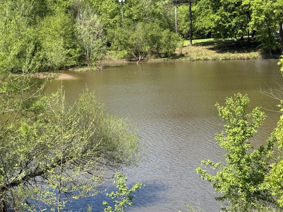
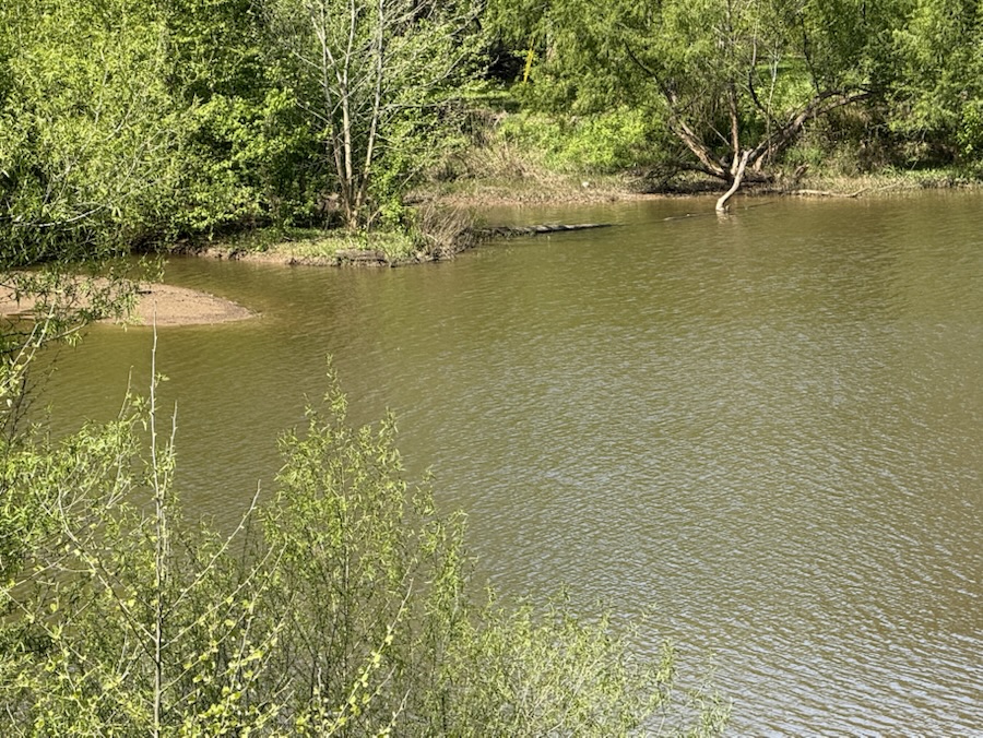
Lake Haigler Anne Springs Close Greenway
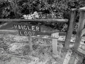
However, to visit all of Lake Haigler you’ll need to go on a Hike on Haigler Loop.
Location: Horse Stables Greenway Stables Entrance; Anne Springs Close Greenway; Fort Mill, South Carolina, USA
God Bless. Have a wonderful week. Get Outdoors. Take a Hike. Visit a Farm. Enjoy all of God’s Beautiful Creations. Thank you for visiting and sharing your time and thoughts with us. I appreciate y’all very much.
Cameras: Apple iPhone 16 Pro Max; Canon EOS Rebel T3i with Canon EF-S55-250mm lens and Altura CPL & 6-Star filter attachments.
Location: Riverside Park and Greenway; Cramerton, North Carolina, USA
God Bless. Take a Hike. Enjoy Nature. Admire the Beauty all around. Thank you for visiting and sharing your time and thoughts with us. I appreciate y’all very much.
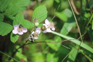
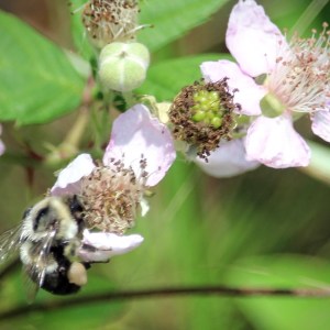
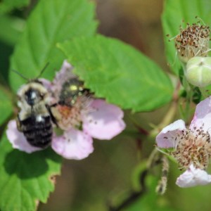
Walking along the Pathway parallel to the Big Pond we spotted the BlackberryFlowers. Coleman notices them quicker than I do, he really likes it if they have ripe blackberries on the vines.
Aka European Blackberry
Getting a closer look we noticed the bee foraging the nectar from the flowers.
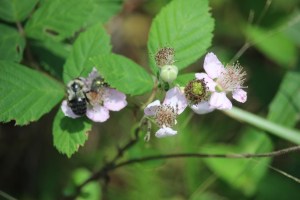
Aka Himalayan Blackberry
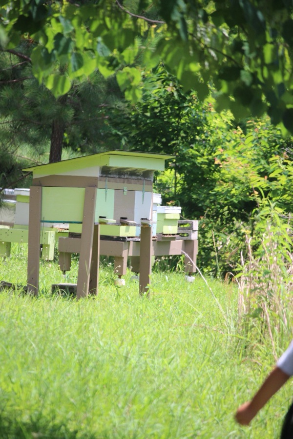
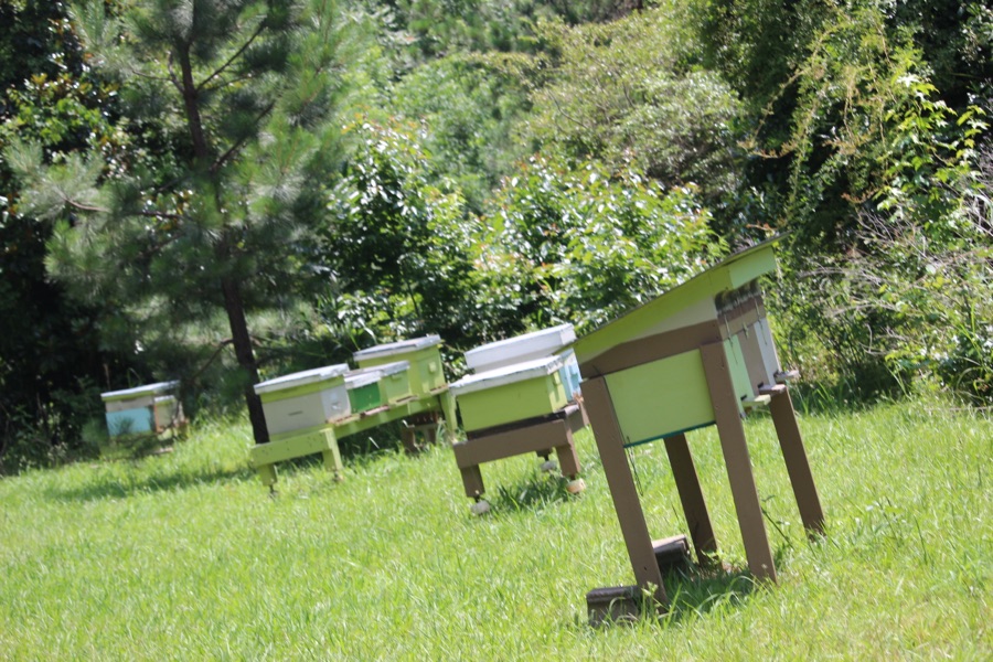
A little further down the pathway Coleman noticed some box-like structures through the grassy opening. As curious as he is he naturally wandered into the grassy opening to investigate the structures. After closer examination he informed me that they were Beehives.
Coleman walking towards the Bee Hives
Aka Common Eastern Bumblebee +Blackberry Flowers
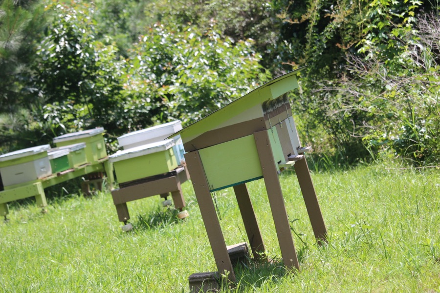
After checking out the Beehives from a safe distance, we walked back towards The Trailhead Store hiking past the Himalayan Blackberry Flowers. Noticing more than just the flowers, I zoomed in to examine what was feasting on its nectar. Then I noticed not only the Common Eastern Bumblebee, but also the Cetonia aurata, which is called the rose chafer or the green rose chafer.
Aka Common Eastern Bumblebee +Himalayan Blackberry Flowers
Two for one foraging on the European Blackberry flowers. Think it’s nice that different species can share their delicacies.
Camera: Canon EOS Rebel T3i with Canon EF-S55-250mm lens and Altura UV & CPL filter attachments.
Location: The Trailhead Store Pathway; The Village at Stowe; Belmont, North Carolina, USA
God Bless. Enjoy Nature. Admire its beauty and intricacies. Thank you for visiting and sharing your time and thoughts with us. I appreciate y’all very much.
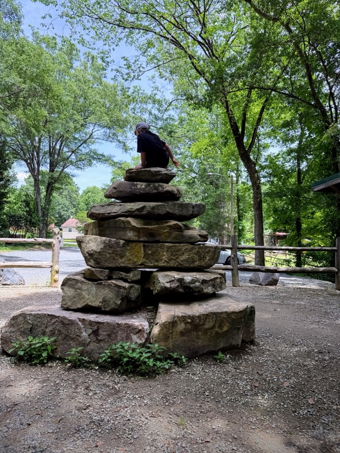
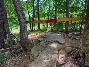
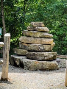
The Rocky Branch Park Trail was developed by an enhancement project in partnership with the non-profit trail advocates the Tarheel Trailblazers, the City of Belmont and Town of Cramerton. [2 Towns]. The project transformed a public open space in the City of Belmont into an urban trail system for mountain biking enthusiasts, runners, hikers, and walkers that extends into the Town of Cramerton.
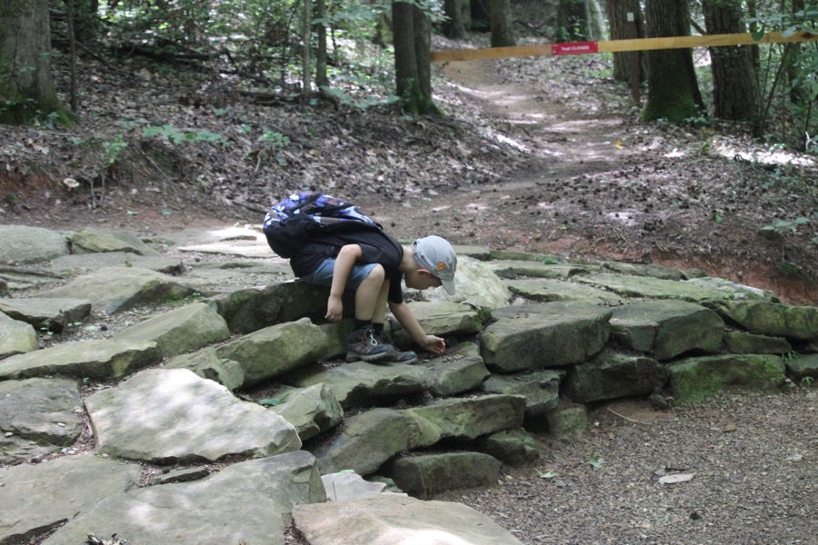
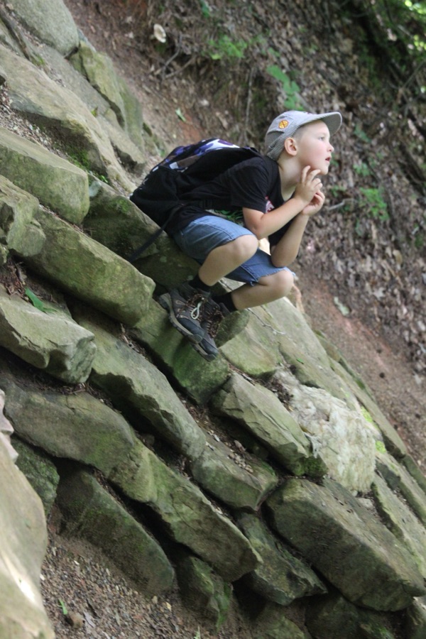
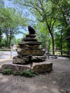
Coleman seating on top of a Cairn
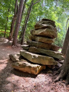
The progressive trail system created beginner, intermediate and advanced trail features, fun for a diverse range of interest and skill levels. The park now features three entrances, two feature trail heads marked by a 6-foot cairn. [2 Cairns].
1 Cairn – Cramerton Trail closed
The first is located in Belmont, NC on Sacco St just one mile from Main Street shops and restaurants and 12 miles west of uptown Charlotte. The second is in Cramerton, NC on Eagle Rd just one mile from Center Street and its shops and restaurants.
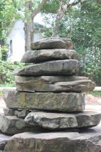
A CairnA Cairn
Coleman and I begin our hikes at the lower Cramerton entrance, hike to the Cramerton Trailhead with one of the Cairns and then proceed to hike The Rocky Branch Trail. Naturally, Coleman finds the need to climb the Cairn before we continue our hike.
2nd Cairn – Belmont
Hopefully you have guessed what a Cairn is, but if not let me explain. A Cairn is a human-made pile (or stack) of stones. The purpose for the pile of stones (rocks) as a marker (in this case) or burial mound. Cairns have been used for centuries as trail markers, especially in mountainous regions or across challenging terrain.
The Rocky Branch Trail [1 Trail] connects the city of Belmont and the Town of Cramerton, weaving through forests and offering over 4 miles of mountain bike trails for cyclists of all experience levels.
Cameras: 1, 4-5, 8-9) Canon EOS Rebel T3i with Canon EF-S55-250mm lens and Altura UV & CPL filter attachments; 2-3, 6-7, 10) Apple iPhone 16 Pro Max
Location: Rocky Branch Trail; Belmont/Cramerton, North Carolina, USA
God Bless. Get Outdoors. Take a Hike/Walk. Enjoy Nature’s Beauty. Thank you for visiting and sharing your time and thoughts with us. I appreciate y’all very much.
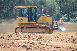
As Coleman and I were walking along the Carolina Thread Trail with all the twists and turns we wound up at a dead end. Not knowing which way to go from there we tried this trail and that trail without much success. Thinking we might be Lost as we kept trying to figure our way back out of the trail and back to the Trailhead Store where our adventures began; we spotted a few construction vehicles working across a road from the trail we were on.
John Deere 750L LGP CRAWLER DOZER
Click on each image for enlarged viewing.
After while we were not only confused and turned around encountering another dead end of a trail; I decided to try our Luck and approached one of the construction workers to see if he could help us figure out how to get back on the correct trail to take us where we needed to go.
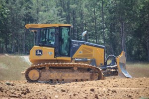
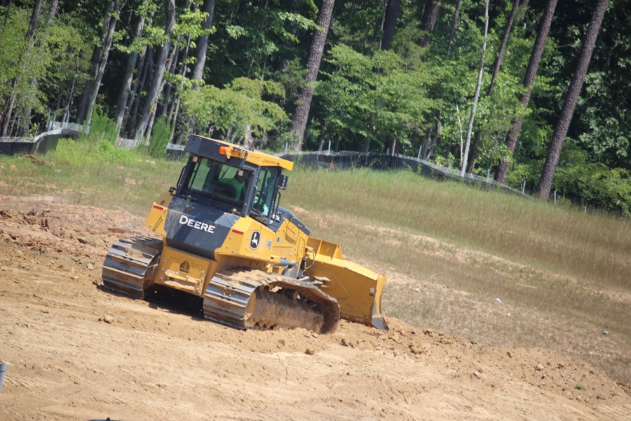
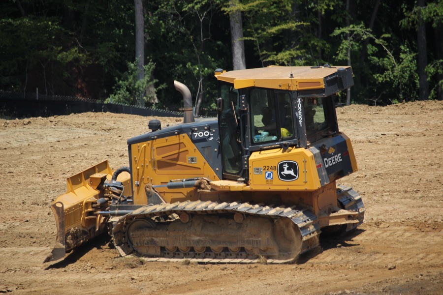
John Deere 700L LGP Crawler Dozers
Click on each image for enlarged viewing.
The John Deere 700L series was designed with a 17-percent-larger cab than models prior to them. It features more glass area, larger doors, and a streamlined hood profile, optimizing comfort and visibility to the blade ahead and the surrounding jobsite.
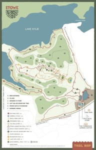
Coleman and I went to the Daniel Stowe Conservancy to investigate all their new upgrades and additions to what was once known as the Daniel Stowe Botanical Gardens(DSBG). Along with the name change, many improvements, upgrades, and additions were added to DSBG.
The Farmhouse Garden Center and The Trailhead Store are just two of the many new developments on the grounds of the Daniel Stowe Conservancy. [I’ll discuss more on these facilities on another later post.] There is also an addition of a Dog Park, additional trails and connecting trails encompassing approximately eight plus (8+) miles of hiking trails on Stowe Property.
Trail Map Click image to enlarge.
Coleman and I began our hiking adventure from The Trailhead Store. We hiked past an extra small waterfall pond, by the Dog Park and around the Big Pond Loop and then crossed the road to continue hiking on the Carolina Thread Trail.
While walking/hiking on the Conservancy property you’ll encounter some concrete paths, crushed concrete trails, natural trails filled with rocks, roots, rises, falls, switchbacks and changes in elevation which inhabits the feeling of adventure.
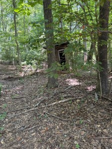
It was while hiking along the Carolina Thread Trail portion that we noticed a wooden Shed standing amongst the Trees. I’m not sure what the Shed was once used for, but found it interesting to be almost in the middle of nowhere.
The Shed in the Woods
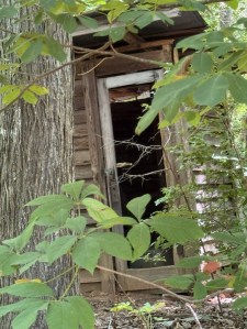
A closer look at the Shed
No, we didn’t attempt to go inside the Shed. We only glimpsed a look at it from the trail … no off trail wandering for a closer look. No need when I could zoom in for a better view.
Location: Carolina Thread Trail; Daniel Stowe Conservancy (DSBG); Belmont, North Carolina, USA
God Bless. Take a Hike/Walk. Have an adventurous day. Nature is beautiful, admire it. Thank you for visiting and sharing your time and thoughts with us. I appreciate y’all very much.
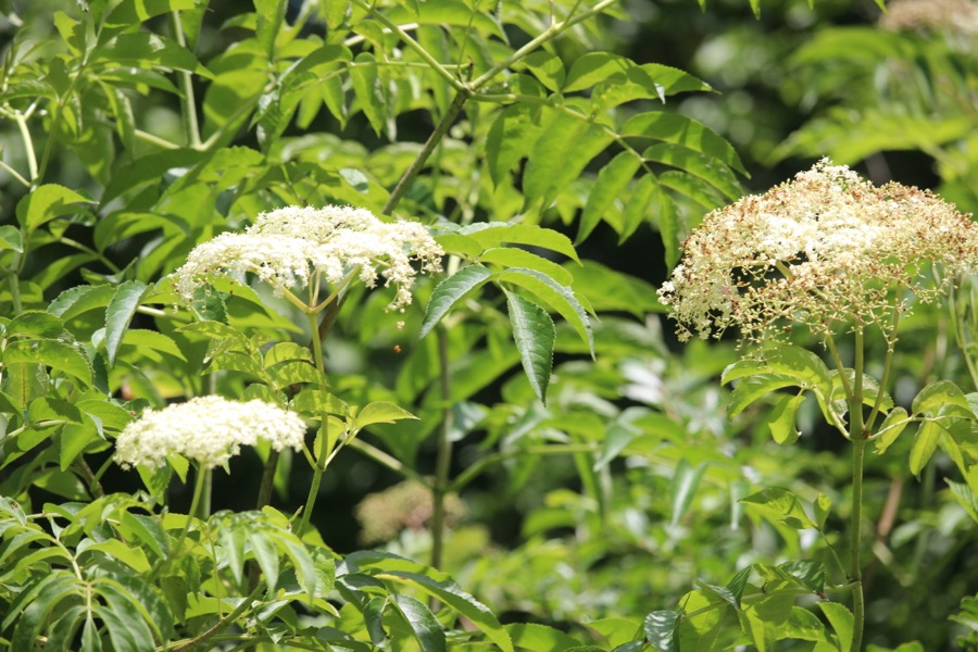
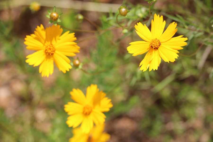
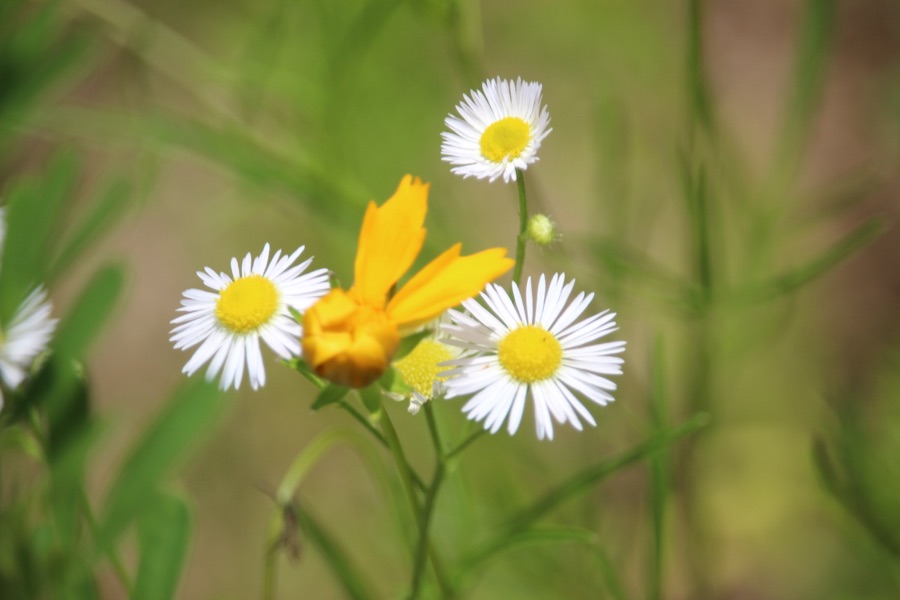
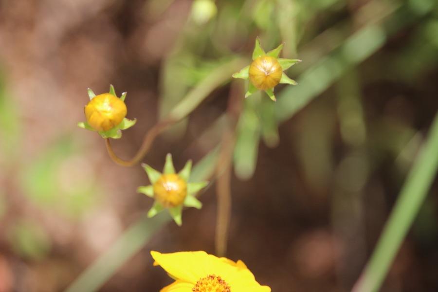
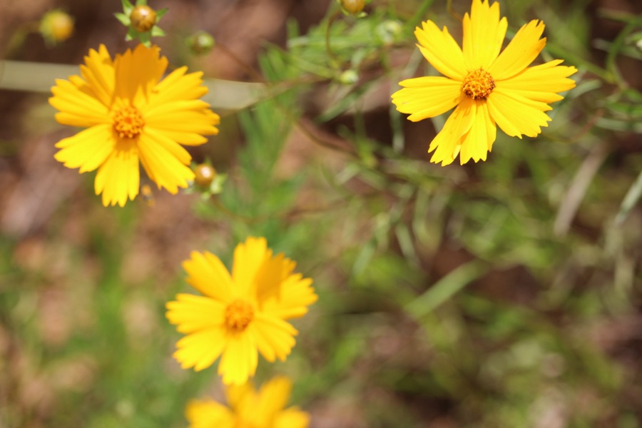
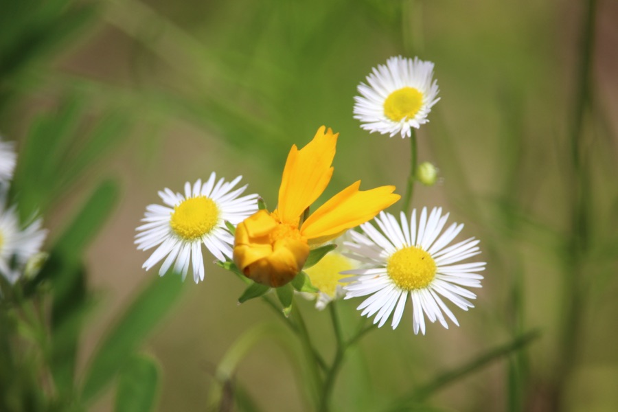
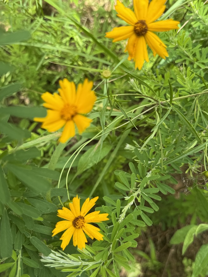
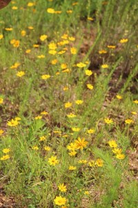
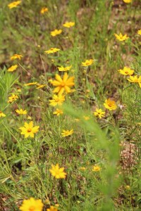
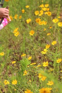
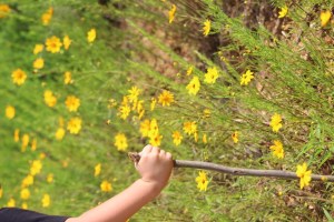
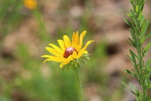
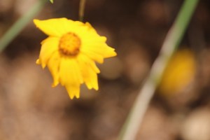
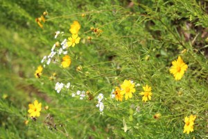
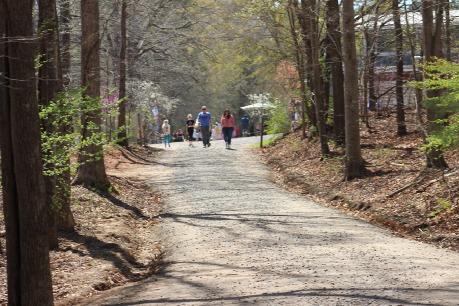
I’m a few days behind, but it’s still Springtime. While Coleman and I were on our long (just shy of 5 miles) hike on Saturday we noticed a few sections of the trail lined with beautiful Wildflowers.
Here are my Wildflower contributions …
Wildflowers on our Hike for National Trail Day June 07, 2025
Camera: Canon EOS Rebel T3i with Canon EF-S55-250mm lens and Altura UV & CPL filter attachments
Location: Rocky Branch Trail; Cramerton, North Carolina, USA
God Bless. Get Outdoors. Have a Walk Amongst the Trees. Enjoy Nature. Thank you for visiting and sharing your time and thoughts with us. I appreciate y’all very much.
As I sat thinking about these two challenges, I began to ponder what I could use and what might be best to fit each of these challenges. Then it dawned on me, Dan from No Facilities has chosen a theme of Things Made of Woodfor Cee’s Fun Foto Challenge and Dale who hosts theThe Cosmic Photo Challenge has selected a prompt of Bridges, both of these challenges might actually work out well combined together into one post.
Now you are thinking how might that be possible? Well, let me explain myself to you. There are many Bridges which are constructed out of wood, especially Bridges engineered to make it easier to cross creeks, streams, rivers, and or lakes. Many Wooden Bridges are built strategically in much needed areas throughout campgrounds, greenways, and hiking trails.
Coleman and I go hiking together every week and sometimes several times throughout the week. We do encounter Wooden Bridges along the trails we hike almost everywhere we venture to hike in the Woods. Hey, I just thought of something when I wrote that last statement … Trees are Made of Wood and when we cross Bridges Made of Wood we are surrounded by Trees.
Enough jibber-jabbering around, here’s my contribution for #CFFC and #CosPhoChal.
Camera: Canon EOS Rebel T3i with Canon EF-S55/250mm lens and Altura UV & CPL filter attachments.
Location: Rocky Branch Trail; Cramerton & Belmont, North Carolina , USA
God Bless. Have a funtastic week. Get Outdoors and Enjoy Nature. Thank you for visiting and sharing your time and thoughts with us. I appreciate y’all very much.
You might want to see what’s up next on the Which Way homepage. Looking forward to seeing y’all’s Which Ways come Friday.
Location: Rocky Branch Trail; Rocky Branch Park; Belmont, North Carolina, USA
God Bless. Get Outdoors. Enjoy a hike/walk. Commune with Nature. Thank you for visiting and sharing your time and thoughts with us. I appreciate y’all very much.
Remember your Which Ways can be any way one travels, whether on foot, or other means. This week we are focusing on people in our Which Ways. And as always, Be sure to have fun.
For other Which Ways, check out the links below. Thank you to all who contributed to the Which Way Challenges.
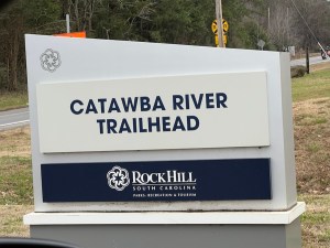
Location: Catawba River Trailhead; Rock Hill, South Carolina, USA
God Bless. Have a wonderful day. Enjoy a hike/walk in nature. Thank you for visiting and sharing your time and thoughts with us. I appreciate y’all very much.
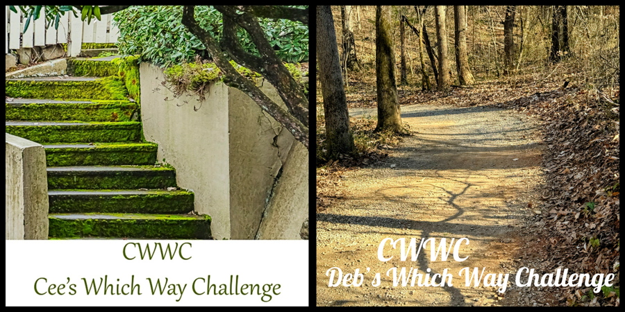
Welcome back to another Which Way Challenge (CWWC). This week I have chosen (CWWC): Any Type of Road, Path, Step, Bridge, or Sign for this week’s theme. Your Which Ways can be on any pathway, road, step, bridge, and/or sign as long as the Which Way is clearly discernible. For further information regarding the Which Way Challenge (CWWC) feel free to check out the home page here. As always remember to have fun.
Here are my entries for this week’s challenge …
Pathway/Sidewalk:
Roads:
Bridges:
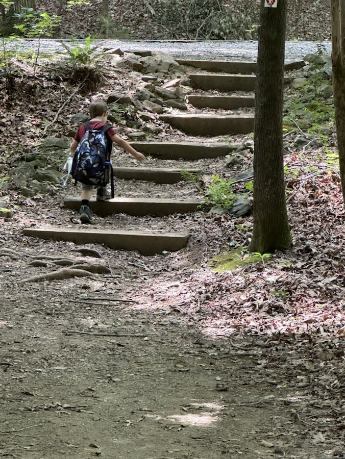
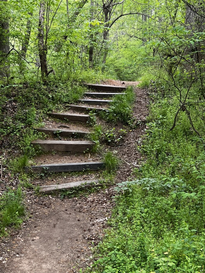
Steps:
Signs:
Thank you to those who have participated and supported the Which Ways Challenge. I appreciate y’all sharing your Which Ways with us.
For an idea of other’s Which Ways from this past week’s challenge, be sure to click on the following links below.
Location: Avon-Catawba Creeks Greenway Trail; Gastonia, North Carolina, USA
God Bless. Have a wonderful day. Enjoy a hike/walk in nature. Thank you for visiting and sharing your time and thoughts with us. I appreciate y’all very much.
Welcome back to the Which Way Challenge (CWWC), I’m so glad you are enjoying this challenge. For this week I have chosen the theme of (CWWC): Any Which Way with Dirt roads or dirt pathways or trails. Remember to be sure your Which Ways are clearly defined. Remember signs are always welcome in your Which Ways.
School is out for the summer or about to be if not already in your area. Summer is a fitting time to be out in the nature hiking (or taking a walk) leisurely enjoying the beauty of God’s creation.
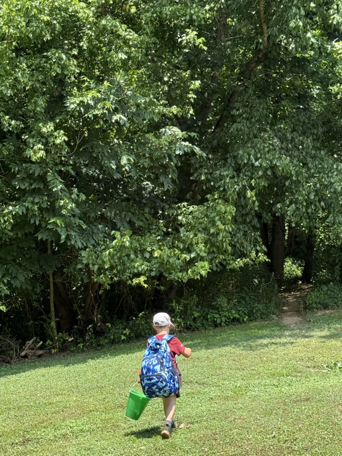
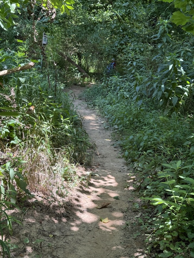
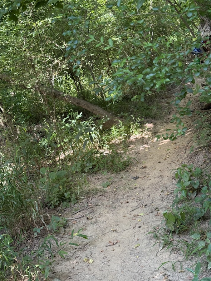
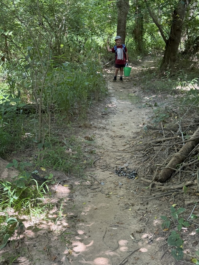
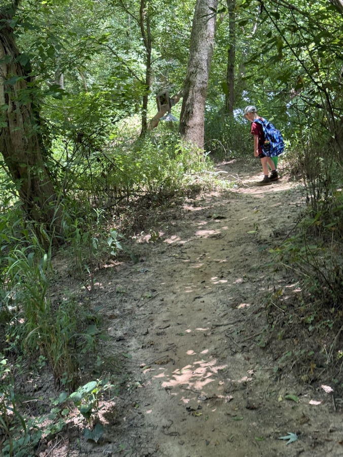
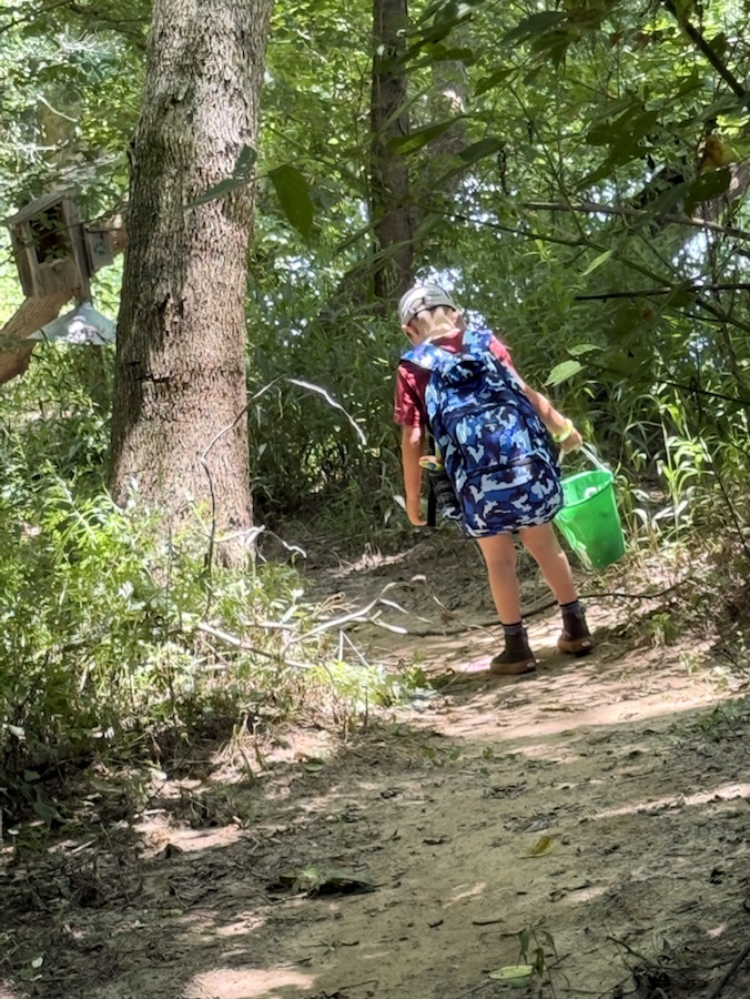
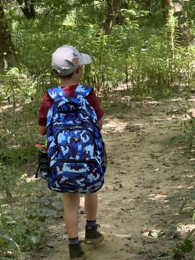
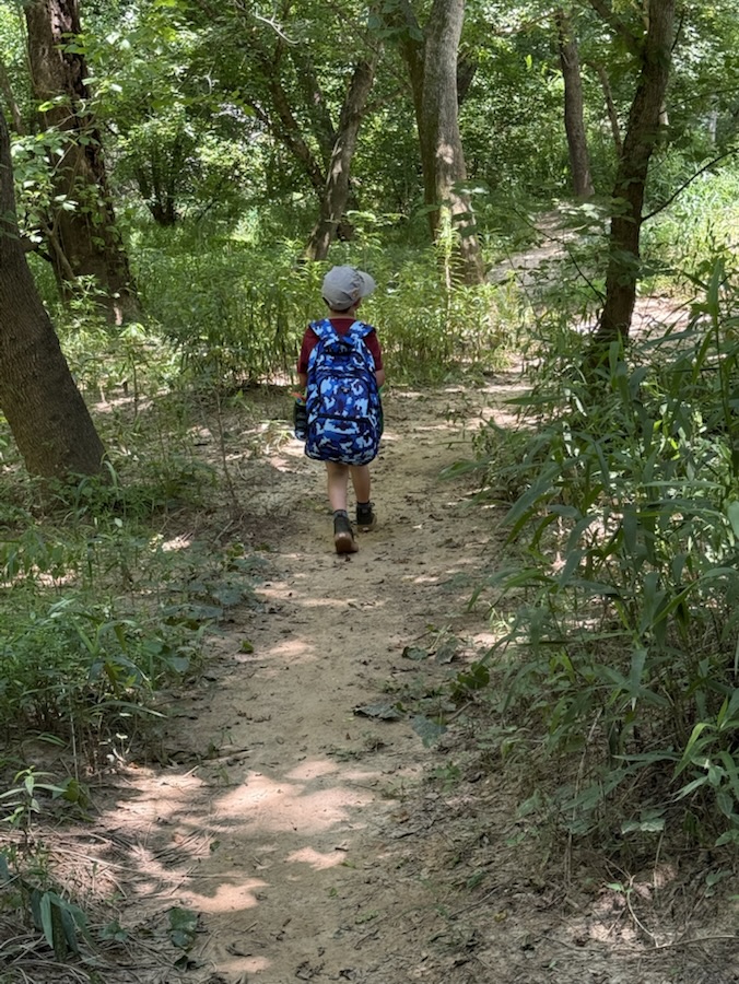
Here are my entries for (CWWC): Any Which Way with Dirt roads or dirt pathways or trails. Now over to y’all to show us the dirt roads, pathways, or trails you enjoy while you’re hiking or walking about in y’all’s favorite areas.
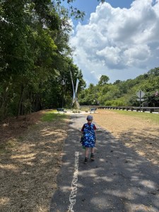
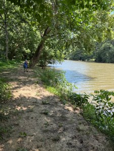
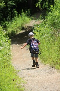
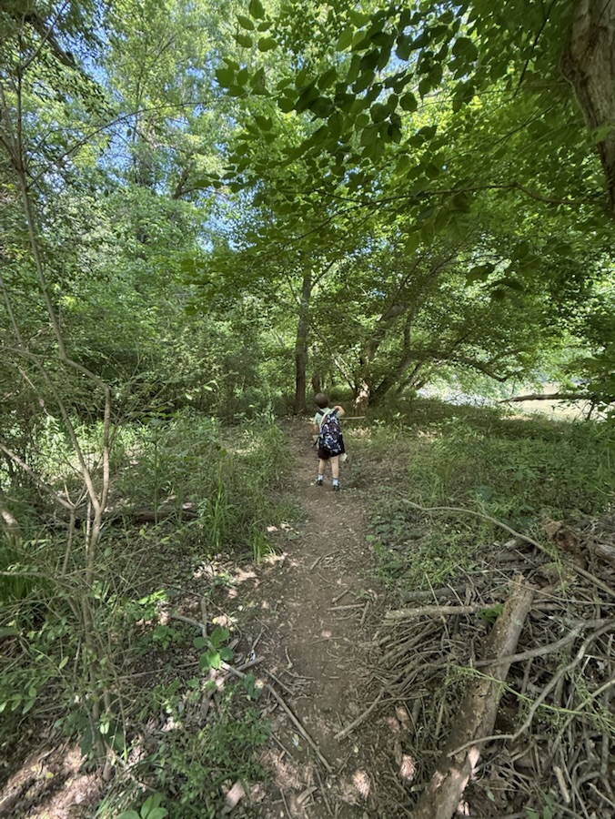
Coleman hiking in Riverside Park and Greenway’s Dirt Trail
You might enjoy taking a look at other Which Ways from this past week; check out the links below:
Location: Dirt Trail; Riverside Park and Greenway; Cramerton, North Carolina, USA
God Bless. Take a hike. Enjoy a stroll through nature’s beautiful pathways and parks. Thank you for visiting and sharing your time and thoughts with us. I appreciate y’all very much.
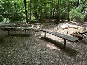
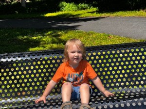
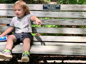
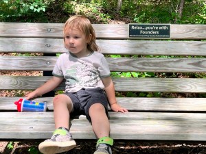
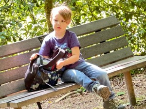
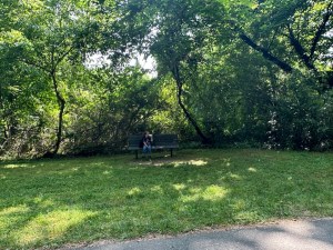
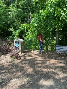
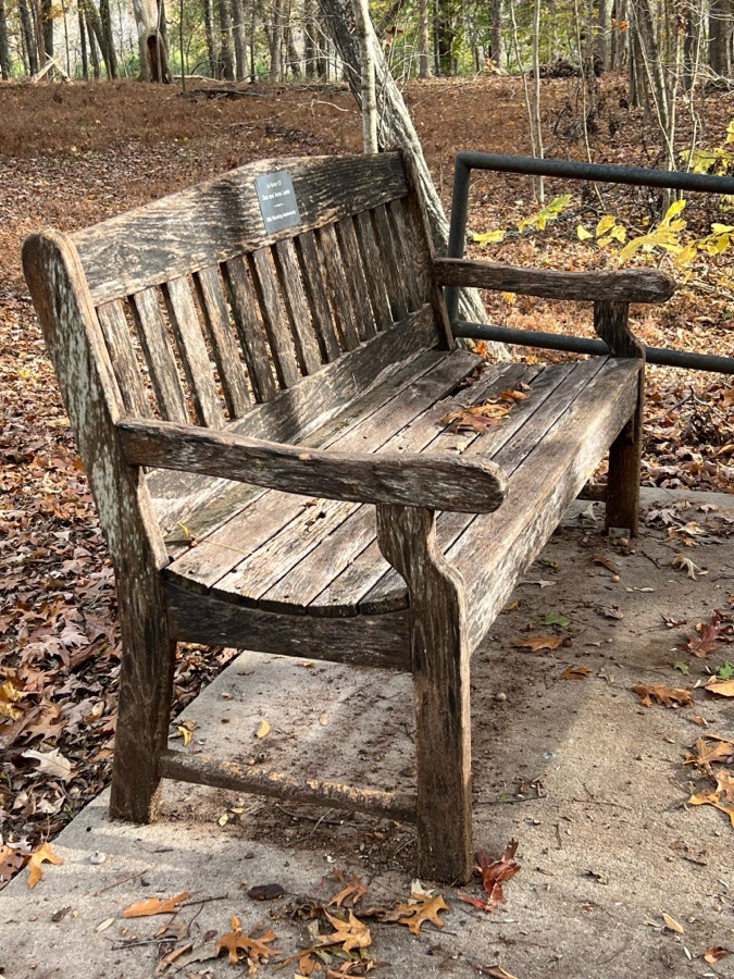
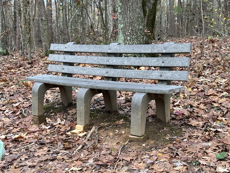
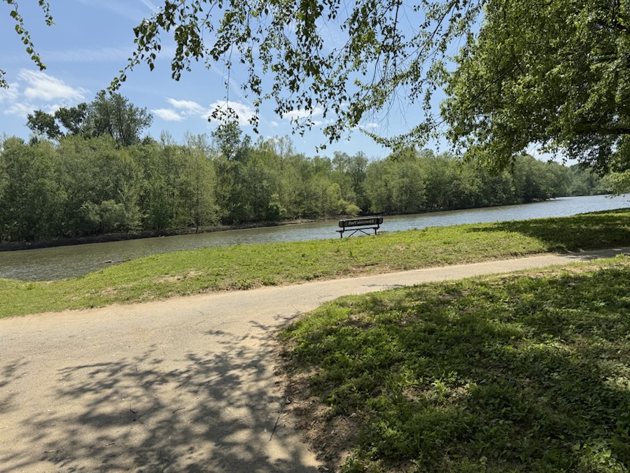
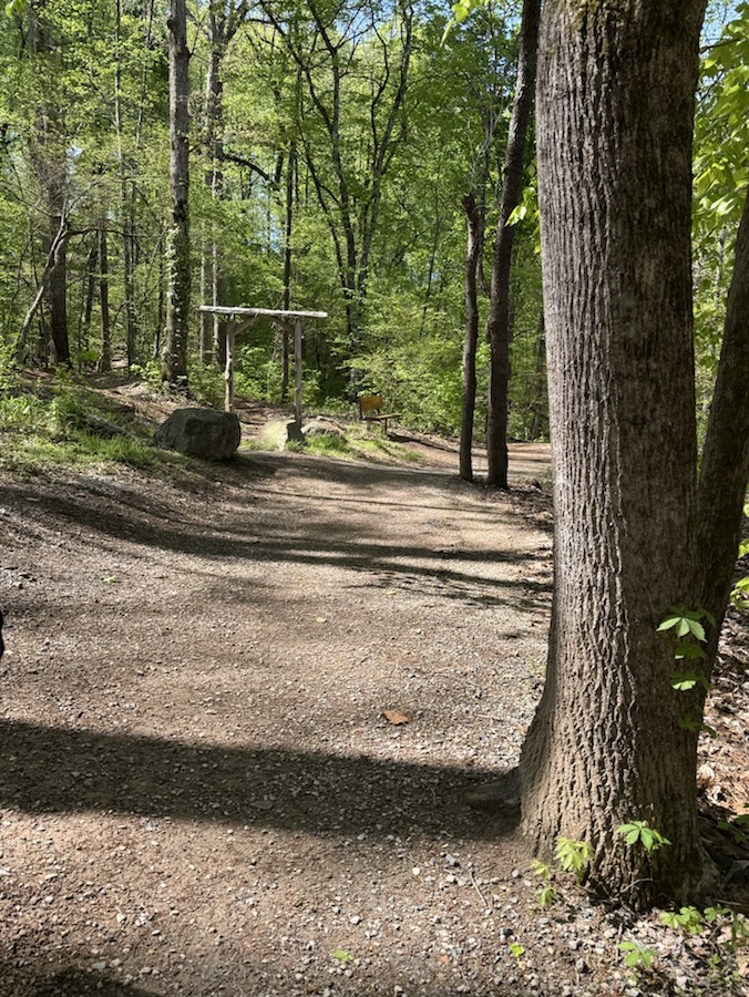
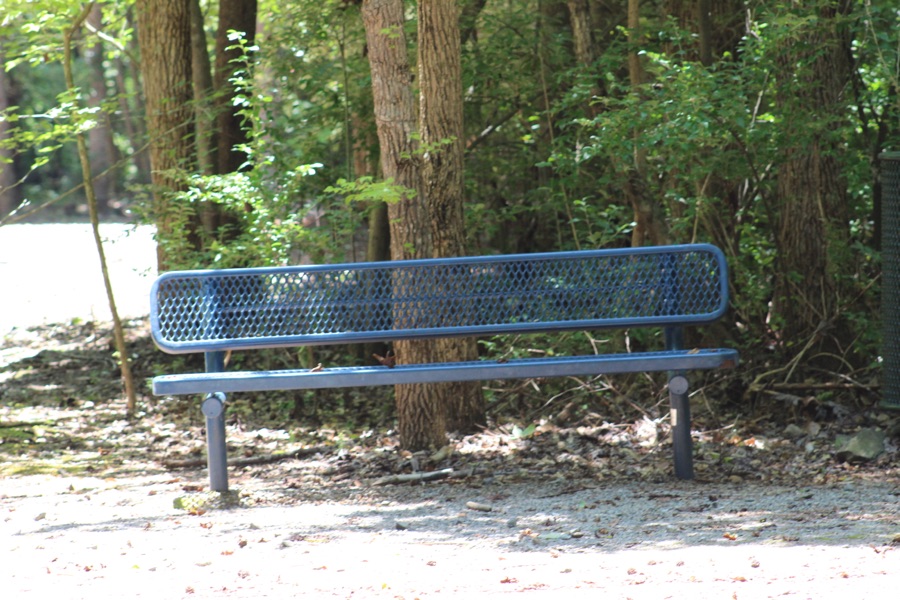
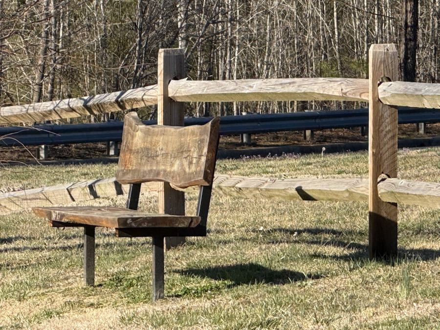
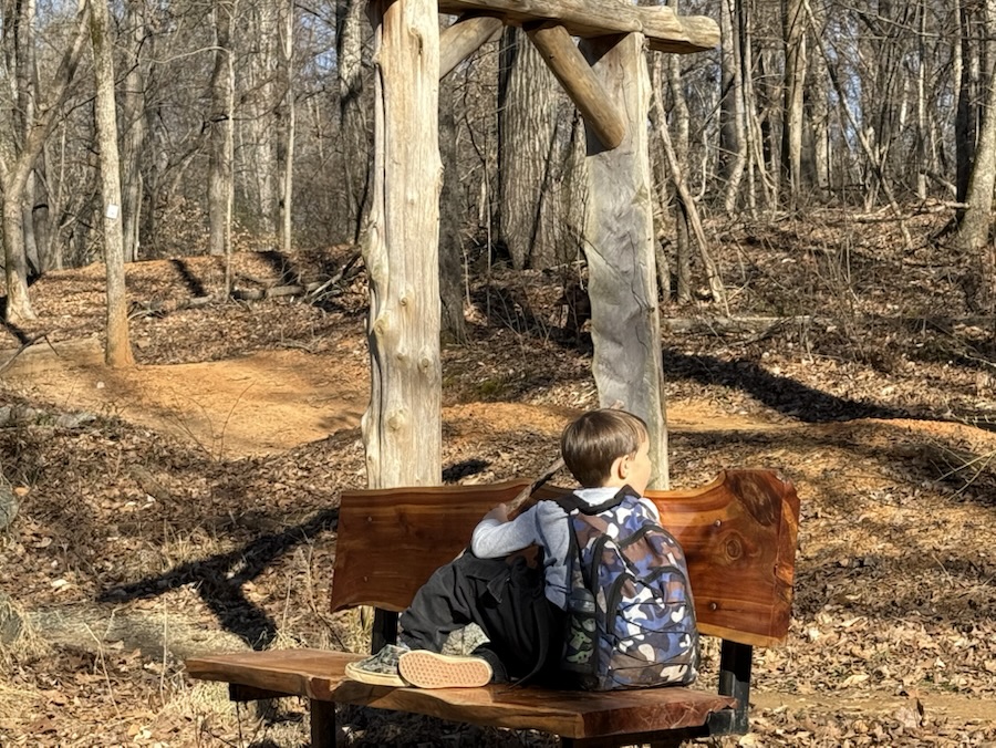
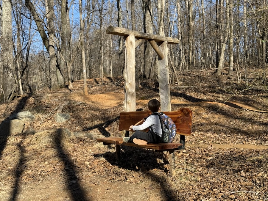
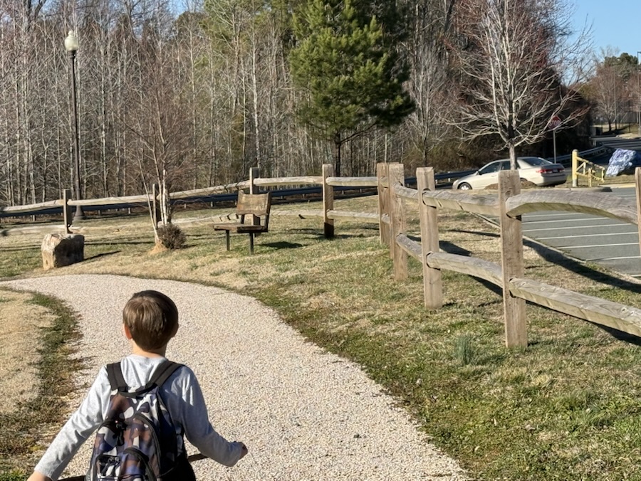
On most hiking trails which Coleman and I there are there are sporadically placed benches Conveniently placed for hiker’s Convenience to rest, relax, and rejuvenate to continue one’s hiking adventure.
Here are a few benches Conveniently placed for hiker’s Convenience…
Anne Springs Close Greenway Fort Mill, SCAndrew Jackson State Park Lancaster, SCCatawba Park Tega Cay, SCCatawba River Trailhead Rock Hill, SC Ed Yount Trail South Fork River Park Gastonia, NCLake Haigler Trail Anne Springs Close Greenway Fort Mill, SCGoat Island Park and Greenway Cramerton, NCGoat Island Park and Greenway Cramerton, NCRiverside Park and Greenway Cramerton, NC
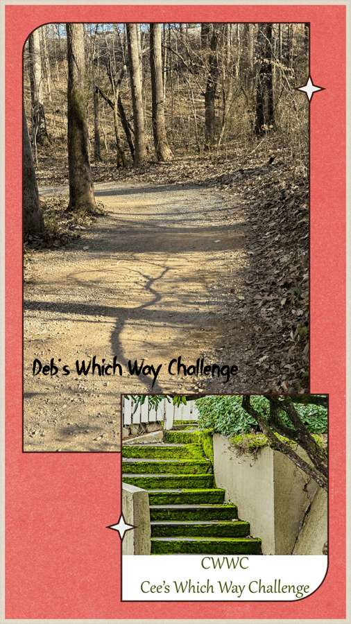
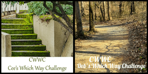
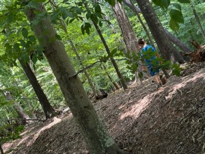
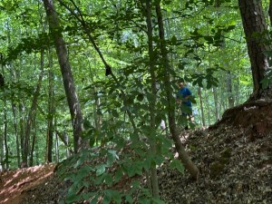
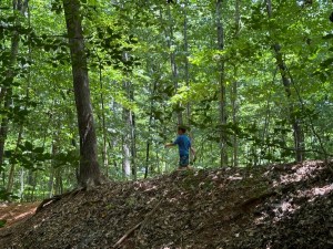
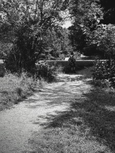
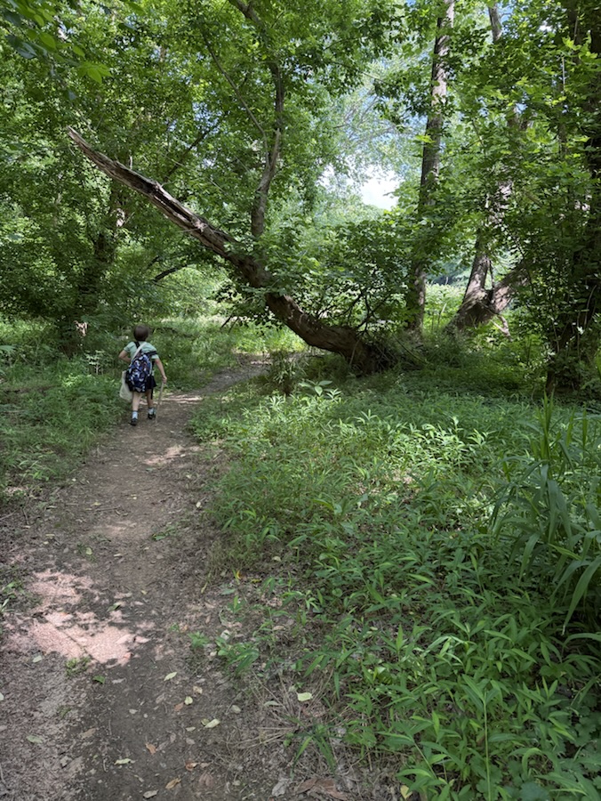
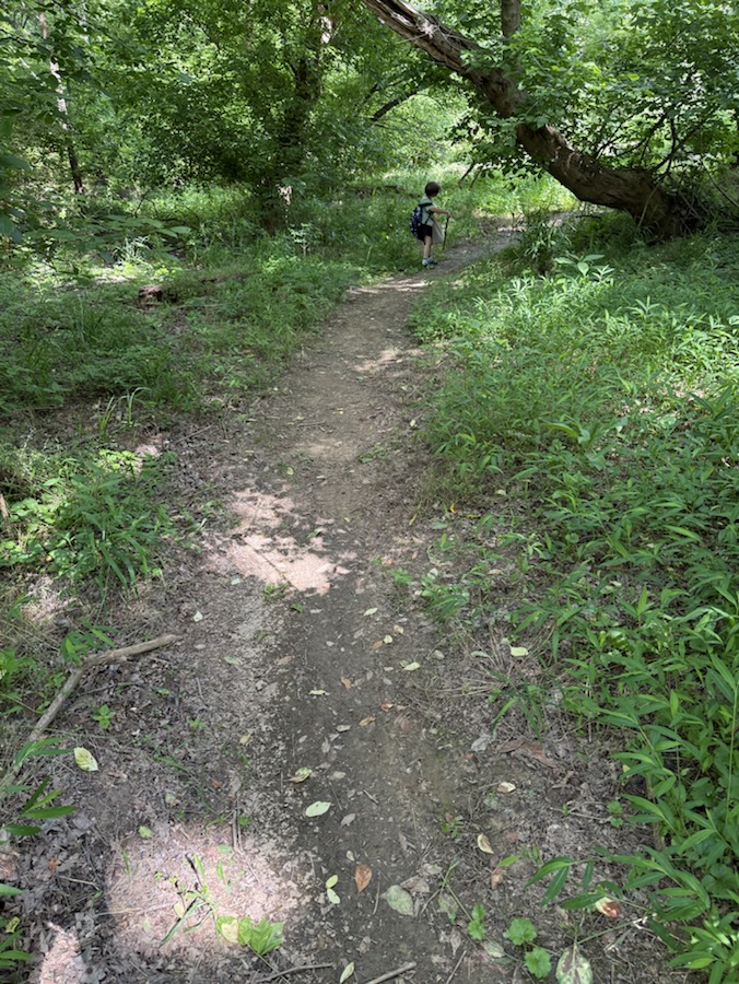
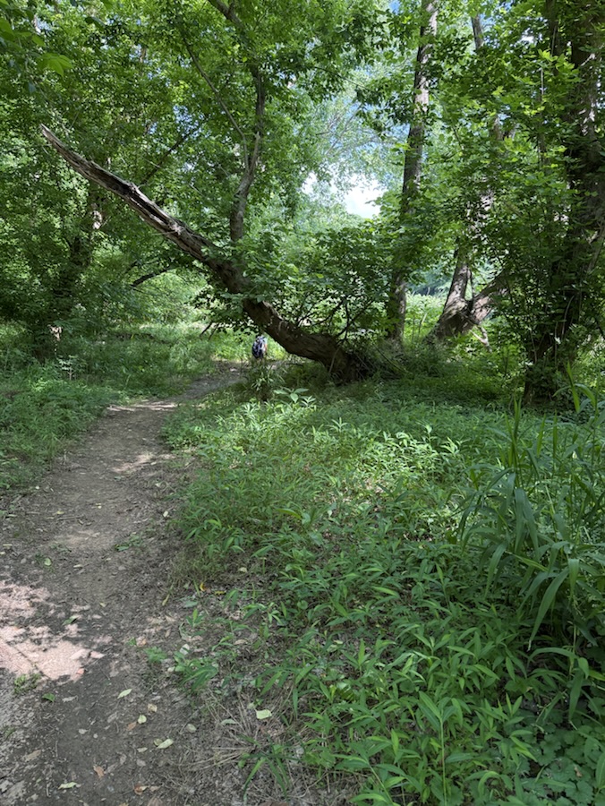
Welcome back to another Which Way Challenge (CWWC). This week I have chosen Any Which Way with Shadows for this week’s theme. Shadows can be on any path, sidewalk, trail, or road as long as the Which Way is clearly discernible. For further information regarding the Which Way Challenge (CWWC) feel free to check out the home page here.
Here are my entries for this week’s Which Way Challenge – Any Which Way with Shadows …
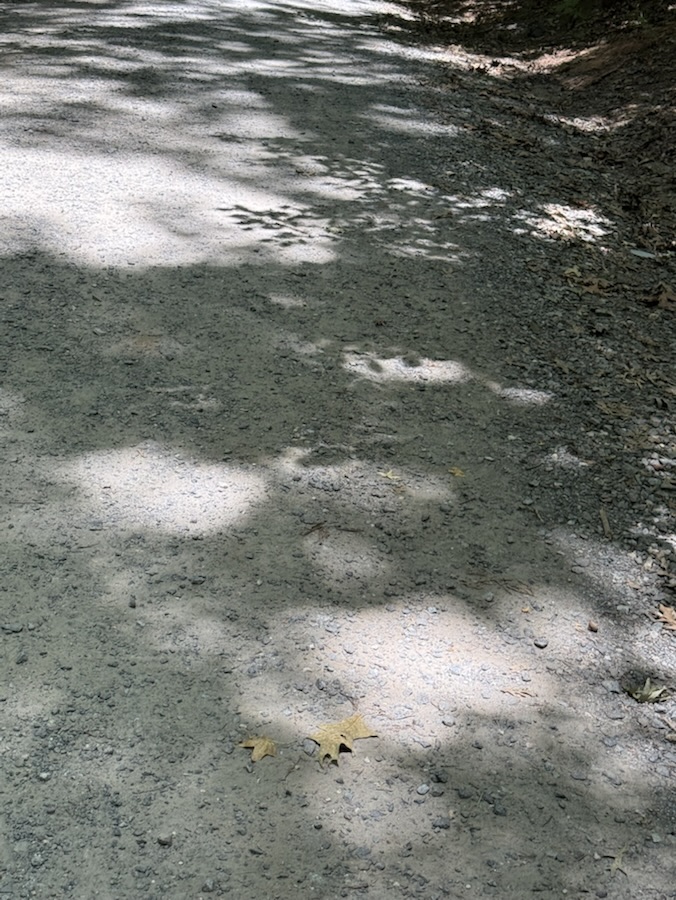
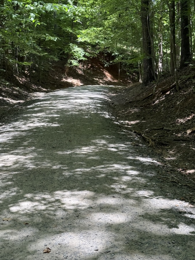
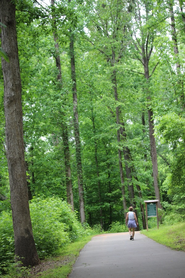
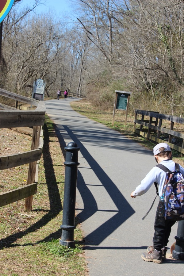
My Which Ways with Shadows are a mixture of paved pathways, sidewalks, and dirt trails. Hope you enjoy the hike with Coleman and myself.
Thank you to those who have participated and supported the Which Ways Challenge. I appreciate y’all sharing your Which Ways with us.
For an idea of other’s Which Ways from this past week’s challenge, be sure to click on the following links below.
Camera: Apple iPhone 14 Pro Max and Apple iPhone 16 Pro Max
Locations: Gastonia and Cramerton, Gaston County, North Carolina, USA
God Bless. Get Outdoors. Take a hike/walk. Enjoy nature’s beauty. Thank you for visiting and sharing your time and thoughts with us. I appreciate y’all very much.
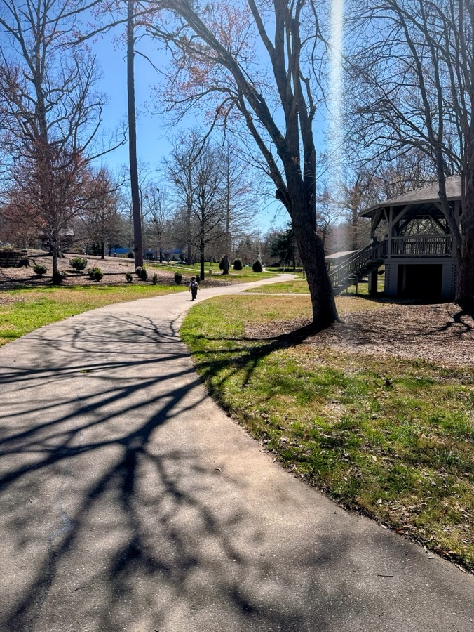
Go to Places change from time to time especially whenever our dwelling places change or as we progress through the ages. Our interests may change, our surroundings may change, regardless of how or when changes occur we tend to develop new ideas and locations for our “Go to Places.”
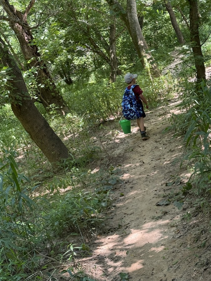
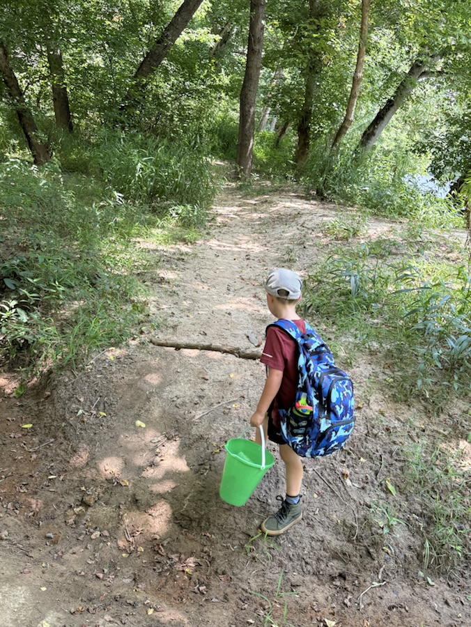
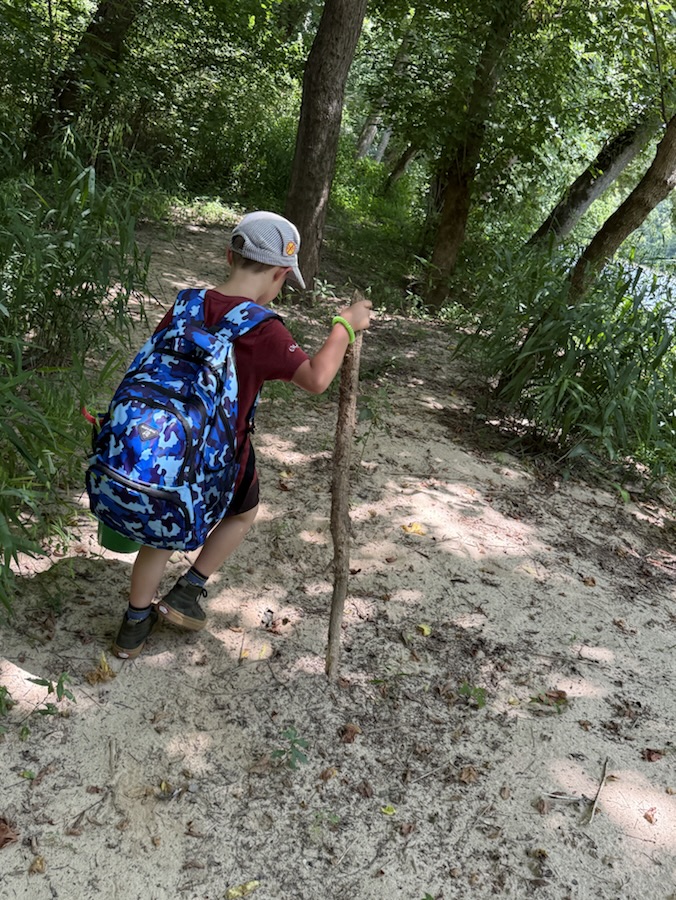
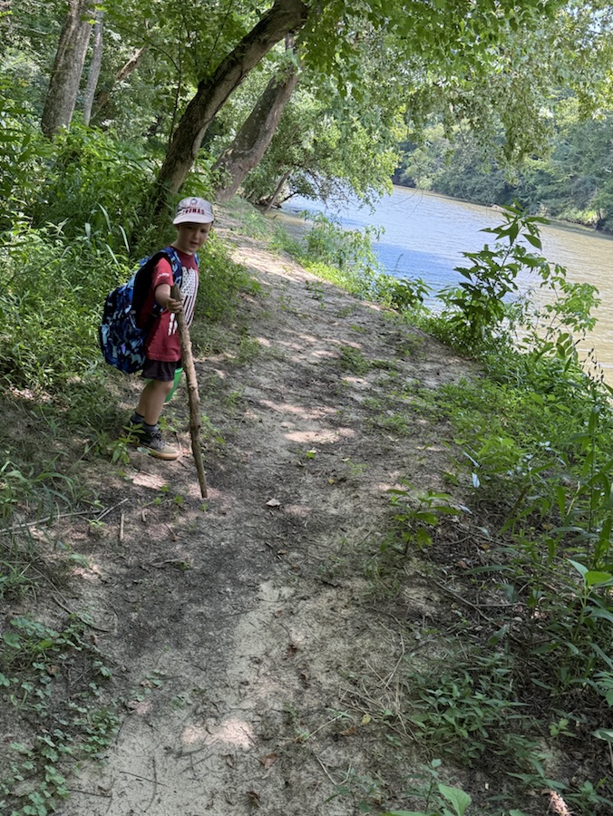
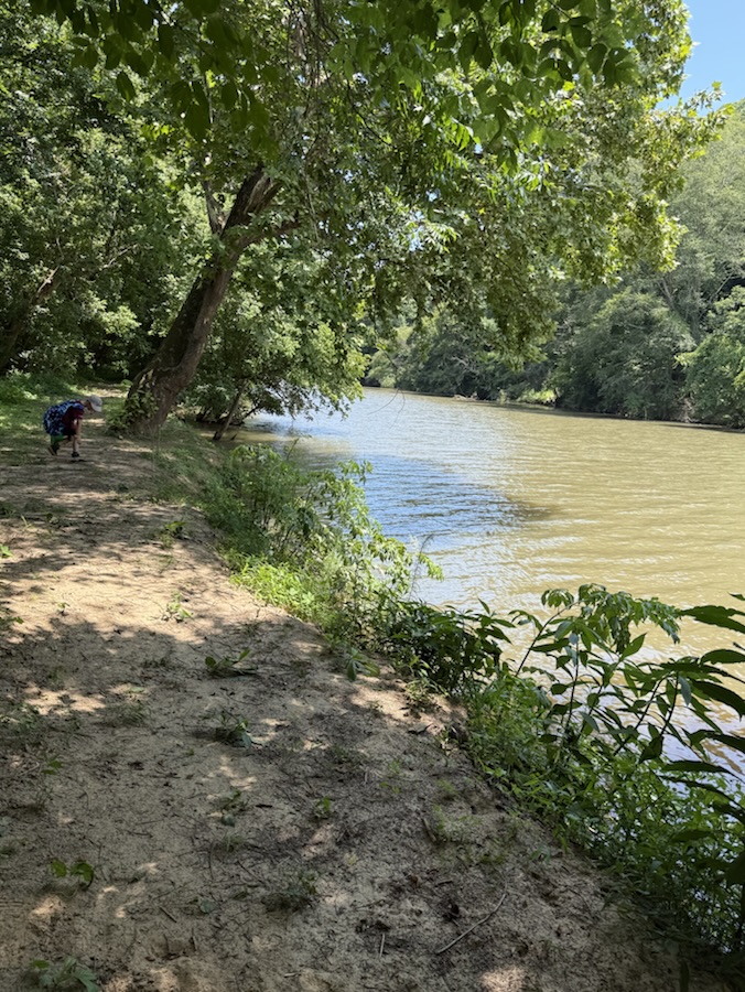
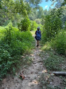
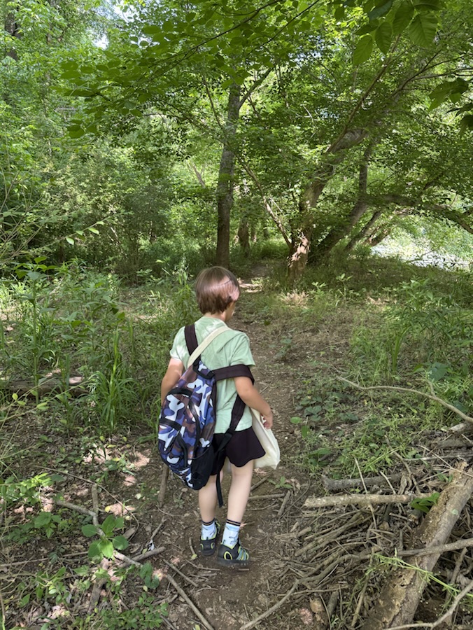
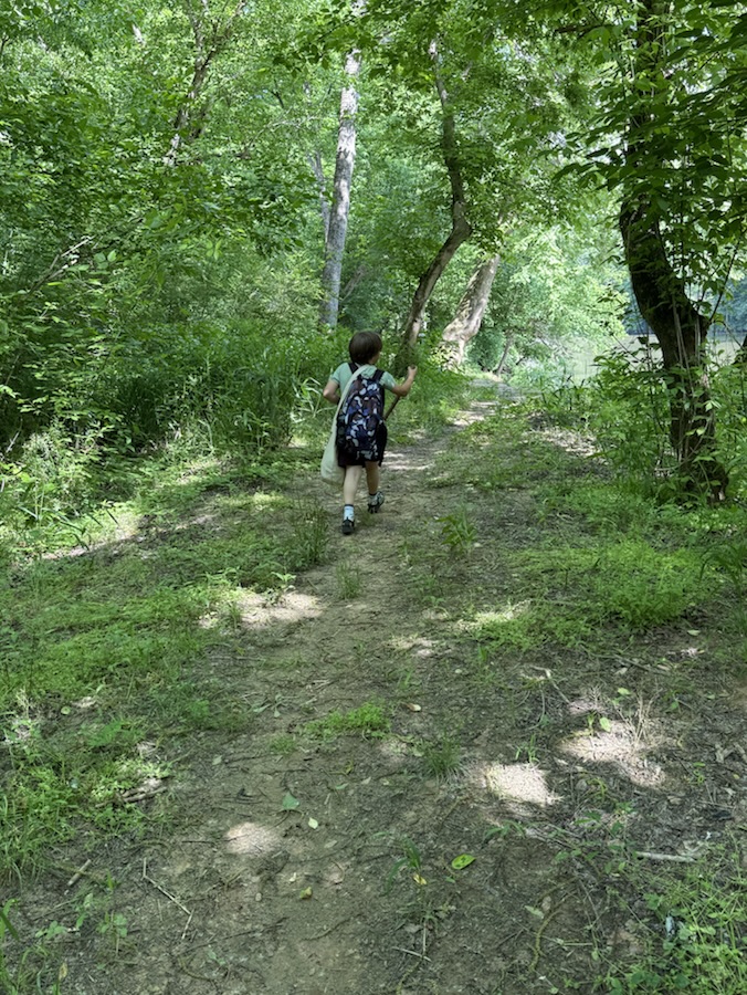
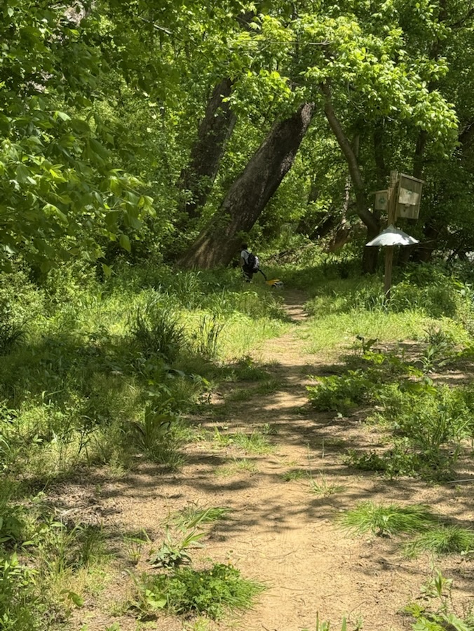
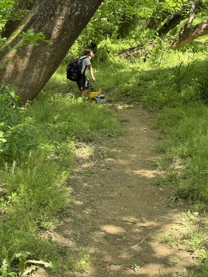
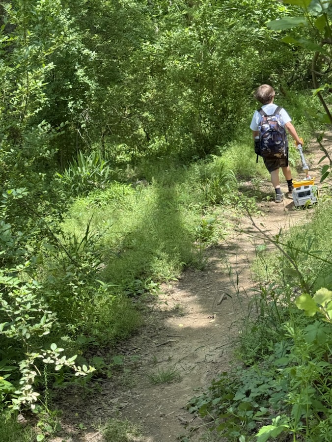
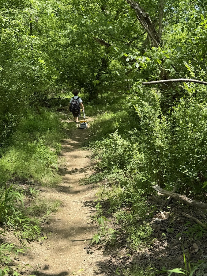
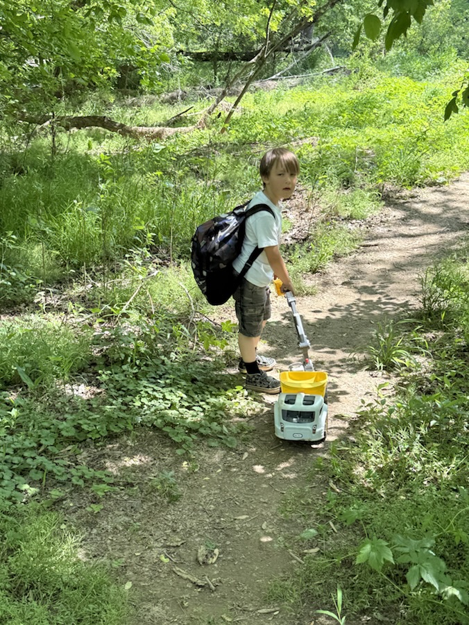
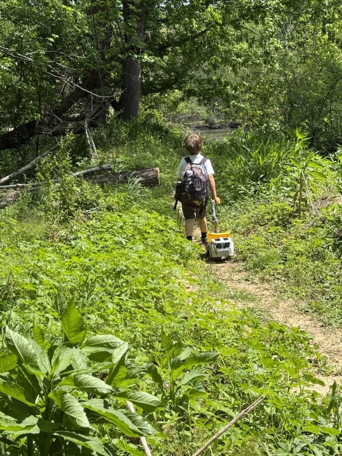
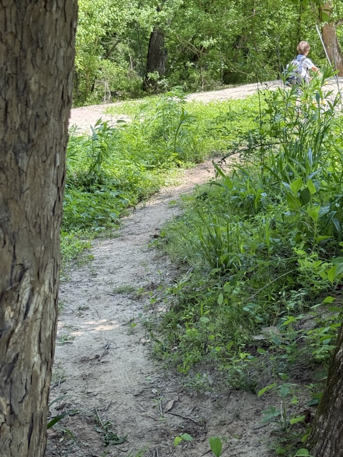
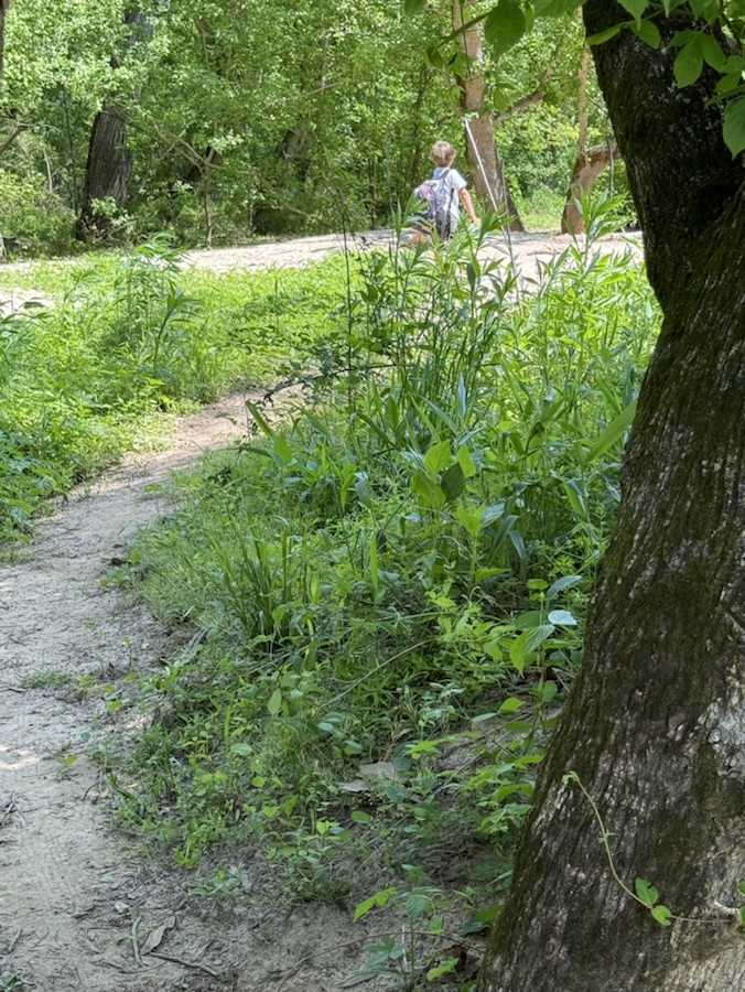
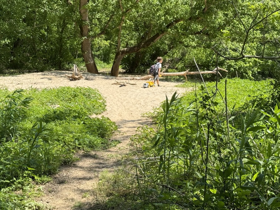
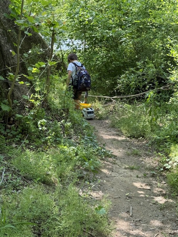
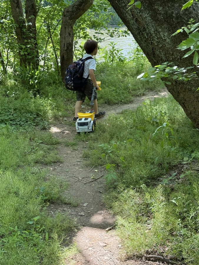
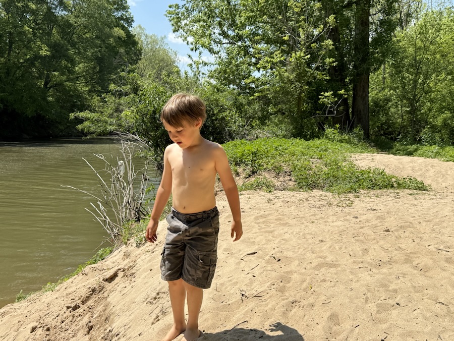
Currently, my “Go to Places” depends on Coleman’s interests and selection of the day. Whenever we go hiking we go to one of two Greenways within walking distance from our home. It just so happens that both of these “Go to Places” contain Any Unpaved Roads or Pathways. More often than not Coleman prefers to hike along unpaved nature surface trails or off the beaten pathways out in nature.
Here are our Unpaved Roads and/or Pathways … Coleman leads the way to one of his favourite “Go to Places.”
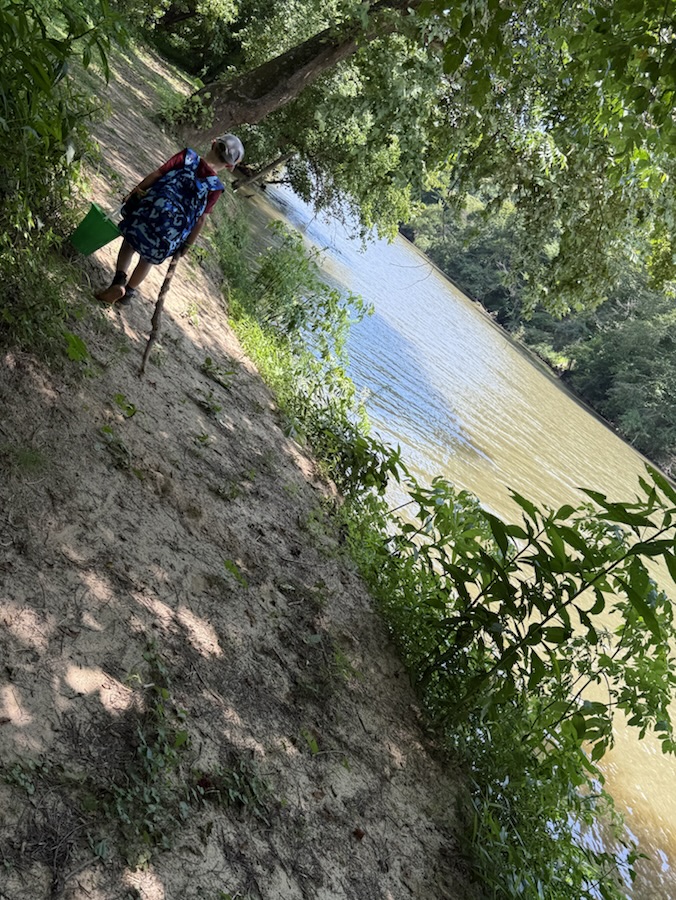
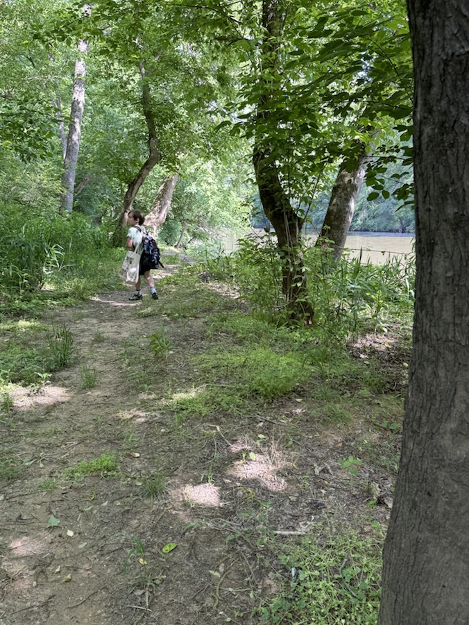
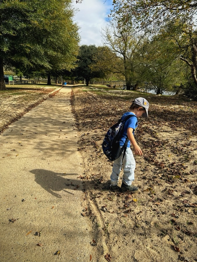
An Unpaved off the beaten Pathway at Riverside Park and Greenway
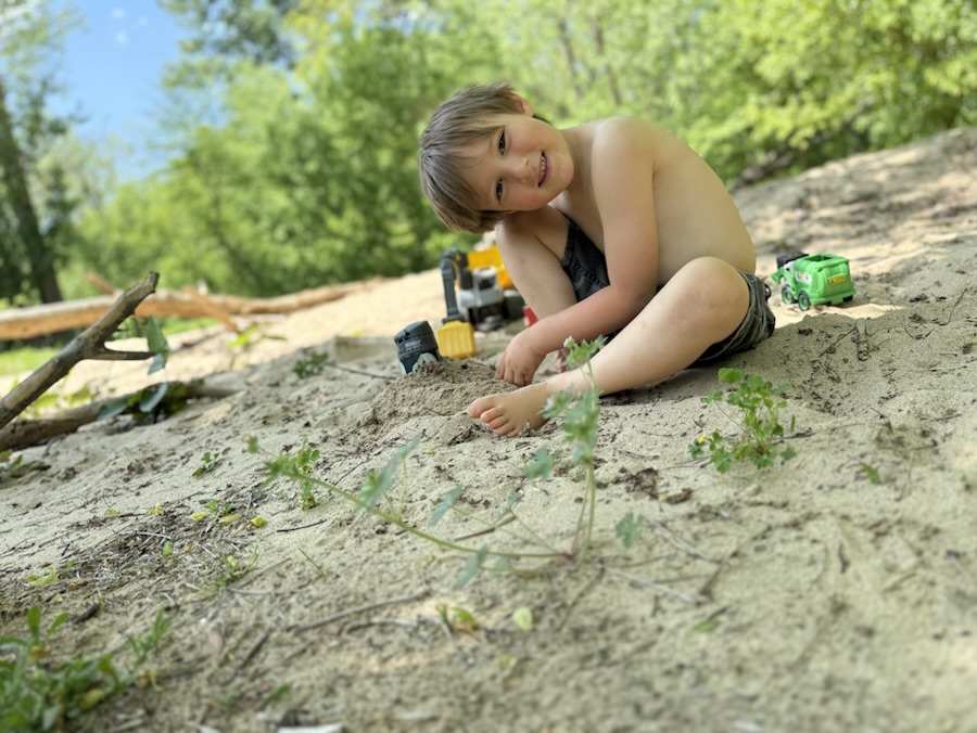
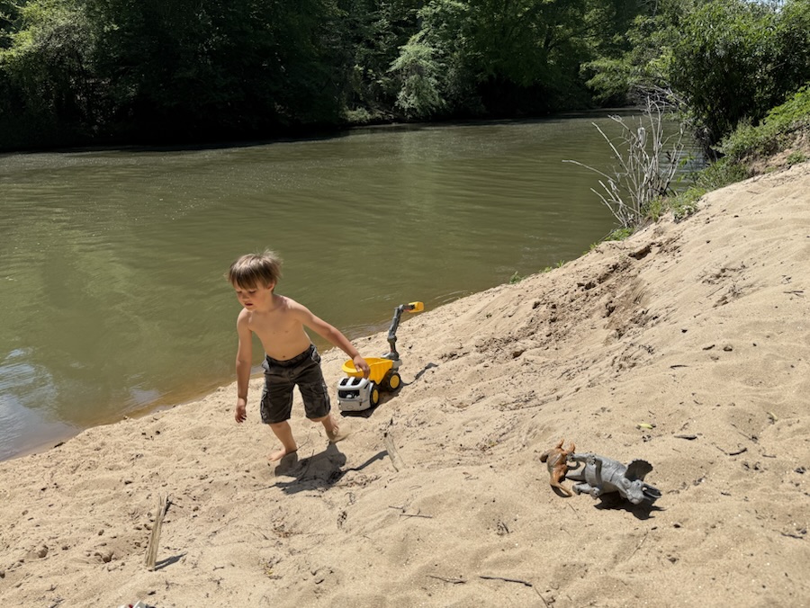
Coleman’s favourite spot at Riverside Park and Greenway “The Big Sand Pit”
Be sure to click on the links below to see what others have as their Which Ways.
Location: Off the Beaten Path Trail; Riverside Park and Greenway; Cramerton, North Carolina, USA
God Bless. Take a hike/walk in Nature. Commune with the beautiful landscapes, the trees and flowers, and (maybe) natural wildlife. Refresh your soul. Renew your mind. Life is a journey … relax and enjoy it. Thank you for visiting and sharing your time and thoughts with us. I appreciate y’all very much.
To play along, go to your photos file and type that number into the search bar. Then post a selection of the photos you find that include that number and post a link to your blog in my Numbers Game blog of the day. If instead of numbers, you have changed the identifiers of all your photos into words, pick a word or words to use instead, and show us a variety of photos that contain that word in the title.This prompt will repeat each Monday with a new number. If you want to play along, please put a link to your blog in comments below.
Here are my contributions to the album:
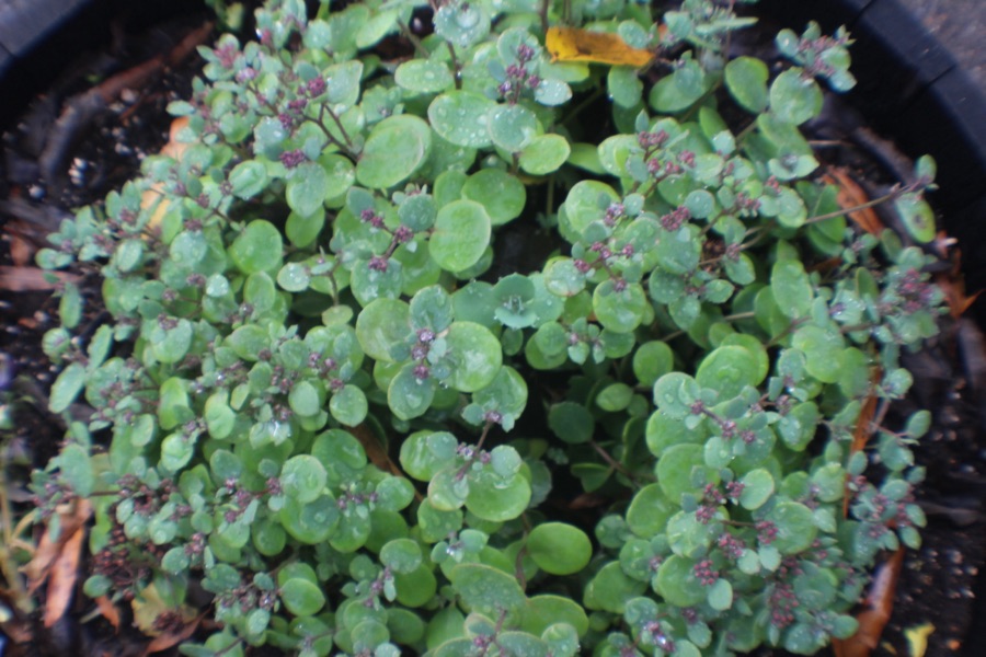
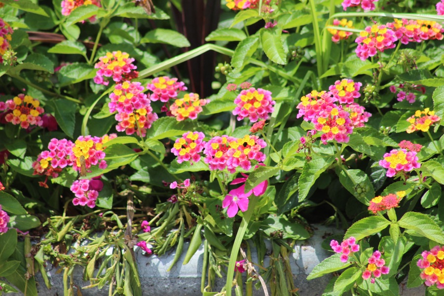
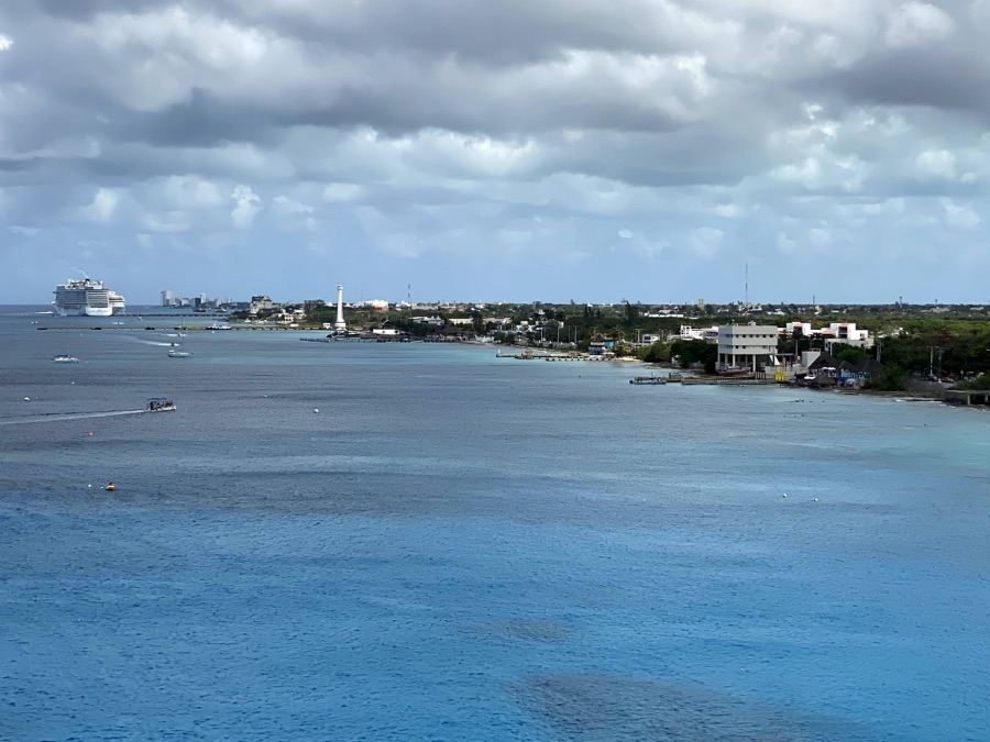
Goat Island Park & GreenwayRed RoseLake Wylie Soleirolia soleiroliiLake Wylie Lantana Luscious Berry BlendAndrew Jackson State Park Pelargonium hortorum Geranium – CalliopeEd Yount Trail South Fork River Park Caribbean Sea Port of Cozumel Duranta Repens ‘China Girl’Catawba River Trailhead Coleman-Age 3McDowell Nature Preserve #189
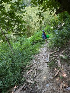
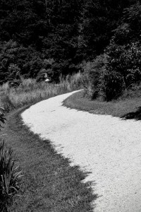
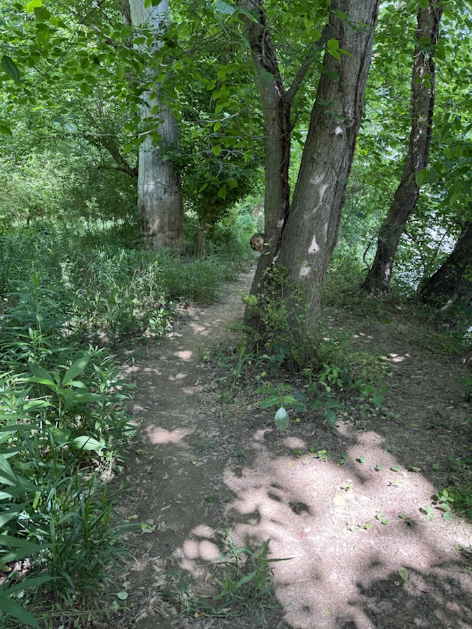
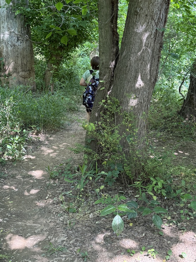
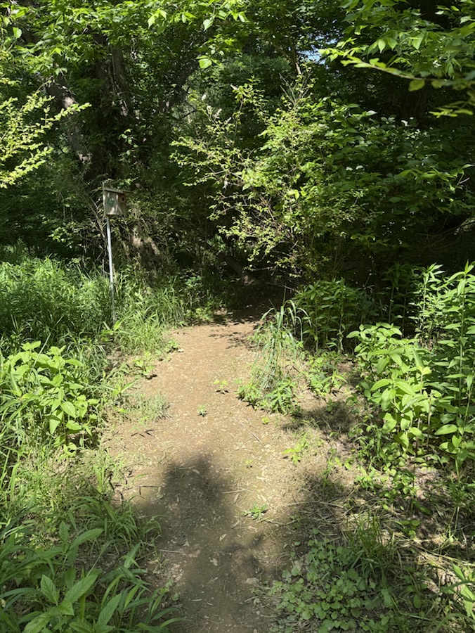
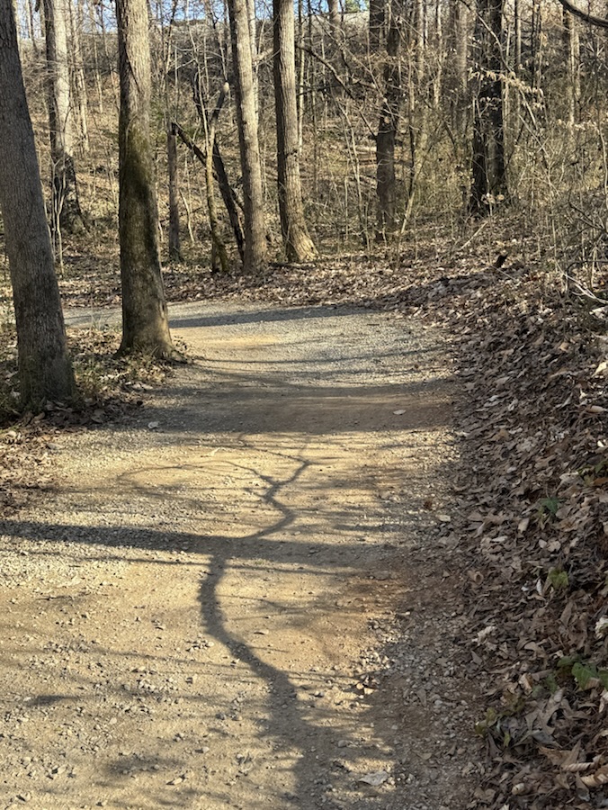
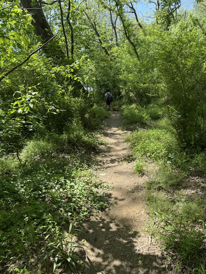
According to Dictionary.com the definition of sinuous is having many curves, bends, or turns; winding: a sinuous path. Most of the trails Coleman and I hike have many sinuous paths that twist and turn around bends and hills, up and down going back and forth curving this way and that way constantly winding down or up a sinuous route along the trail.
Coleman hiking along the Rocky Branch Trail
“Life is full of unexpected twists and turns. We can embrace, or resist, the journey. The choice is ours.”
Location: Rocky Branch Trail; Cramerton, North Carolina, USA
God Bless. Take a hike. Enjoy the Outdoors. Embrace the journey. Thank you for visiting and sharing your time and thoughts with us. I appreciate y’all very much.
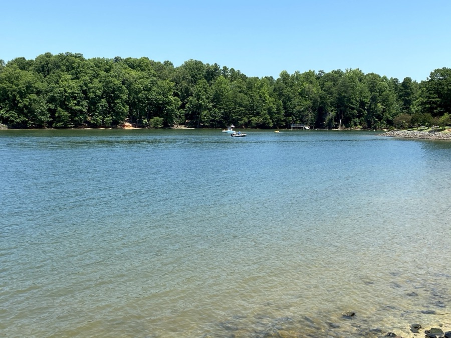
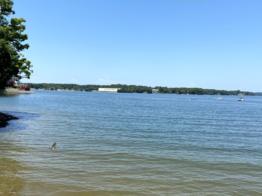
Living within walking distance to the South Fork Catawba River I figured Riverscape would be a funtastic word to choose for this week’s One Word Sunday Challenge.
These are from the hike Coleman and I took yesterday after the Easter Egg Scramble.
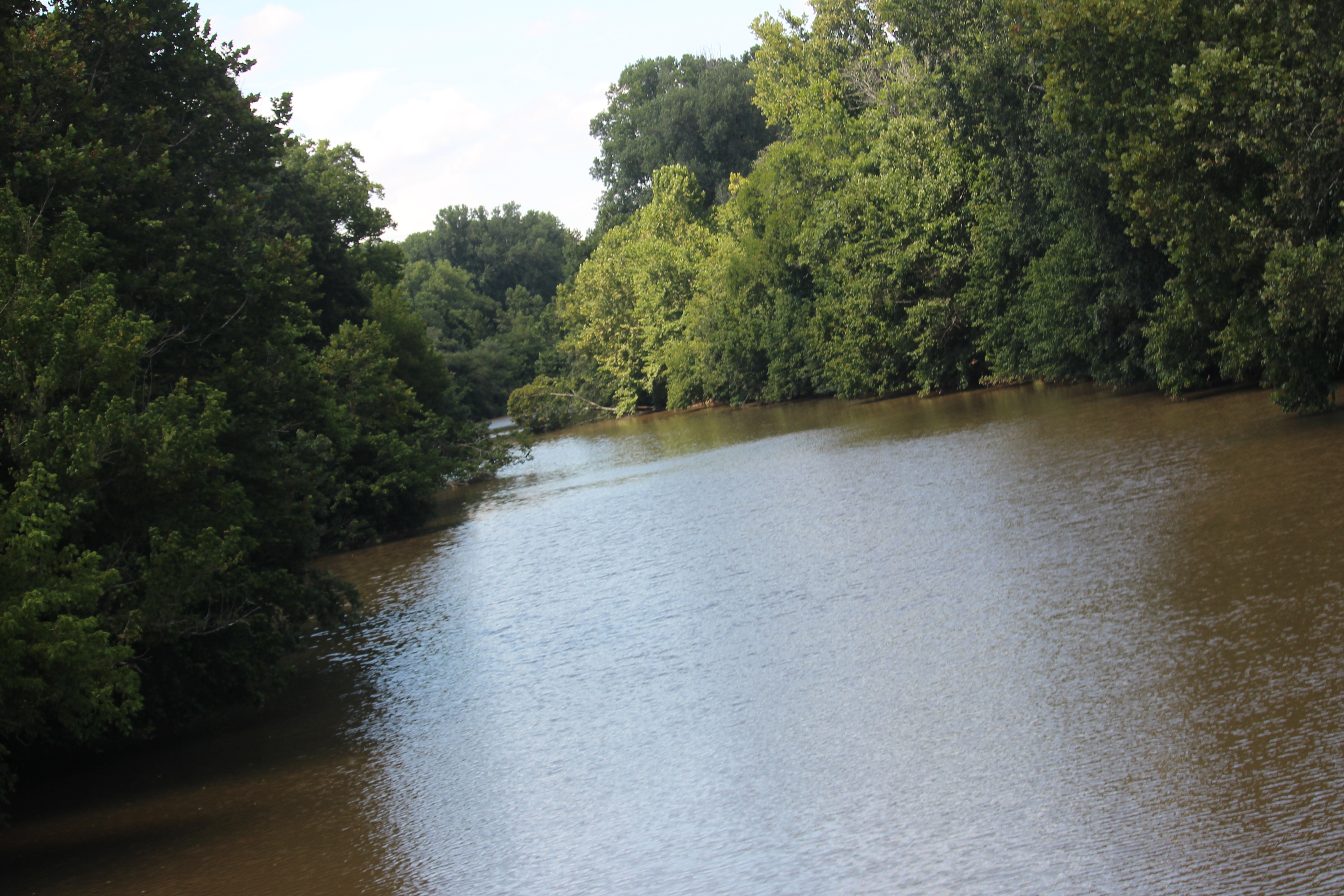
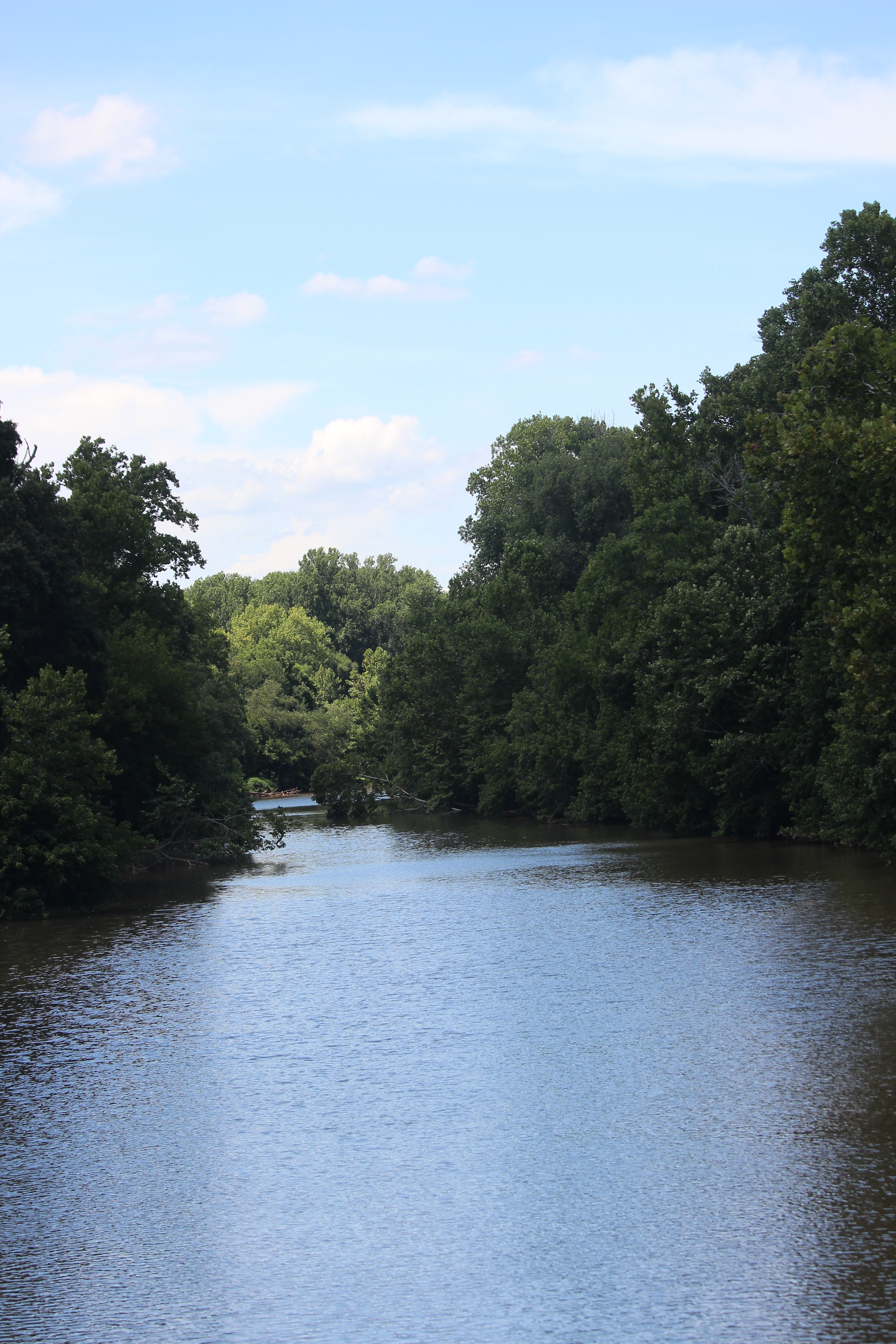
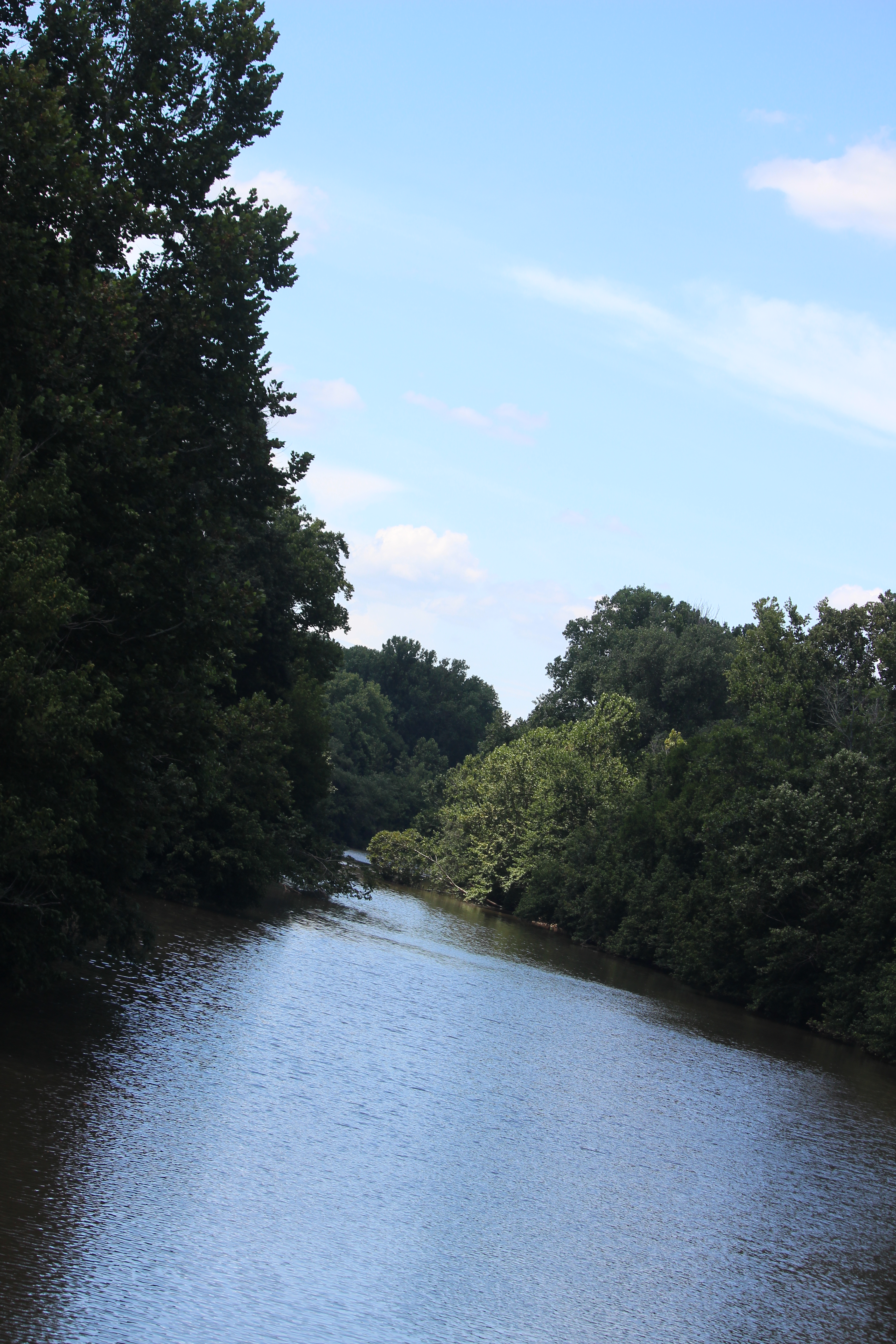
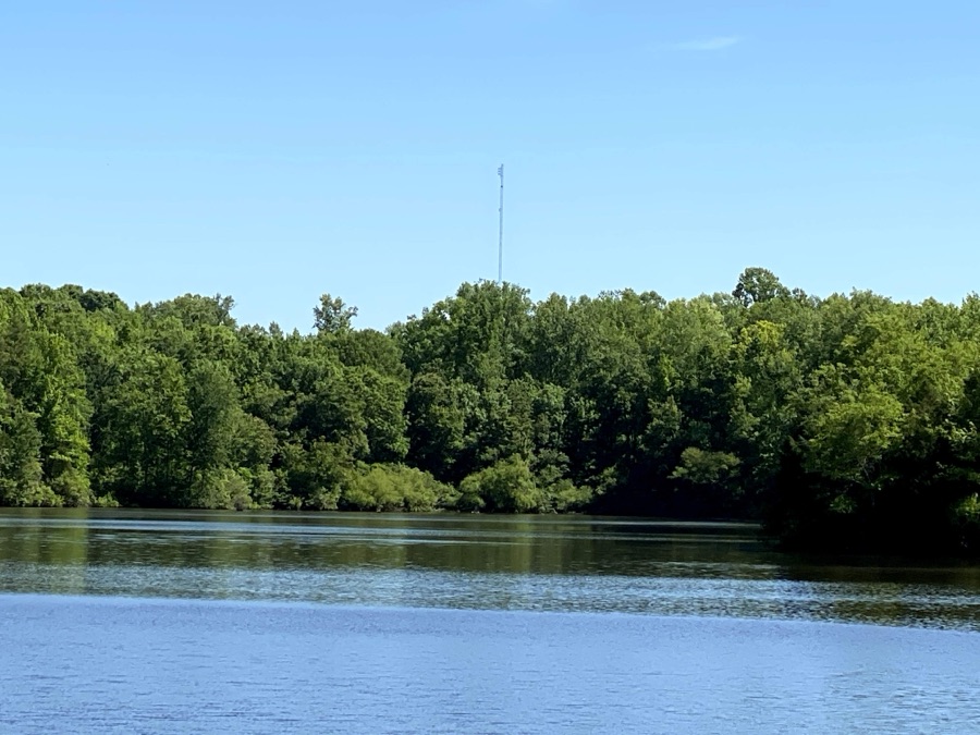
South Fork Catawba River
Coleman always loves spending time playing and hiking near the River. Where do y’all enjoy spending your afternoons?
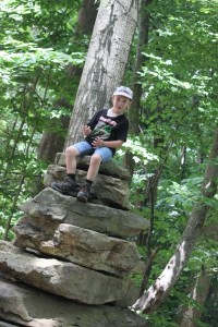
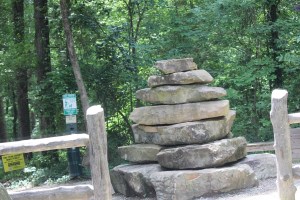
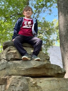
As we were nearing the end of our hike along the Rocky Branch Trail to head back home; Coleman decided to climb up into the top of the Stack of Rock Slabs (Rock statue) located at the Cramerton entrance to the Rocky Branch Trail portion of the Carolina Thread Trail. As you can tell, if something appears to be suitable for sitting Coleman will find a way to Pull Up a Seat.
Location: Rocky Branch Trail; Cramerton, North Carolina, USA
God Bless. Enjoy the Outdoors. Take a walk. Relax and have Fun. Thank you for visiting and sharing your time and thoughts with us. I appreciate y’all very much.
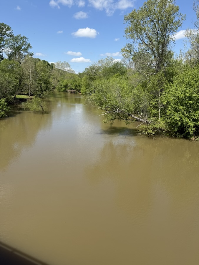
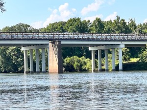
Location: View from the C.C. Dawson Bridge (aka Lakewood Road bridge); Cramerton, North Carolina, USA
God Bless. Happy Palm Sunday! May the spirit of this day fill your heart. Thank you for visiting and sharing your time and thoughts with us. I appreciate y’all very much.
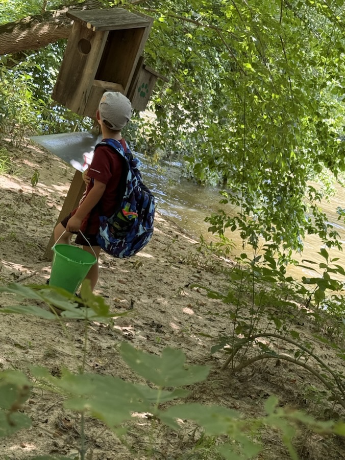
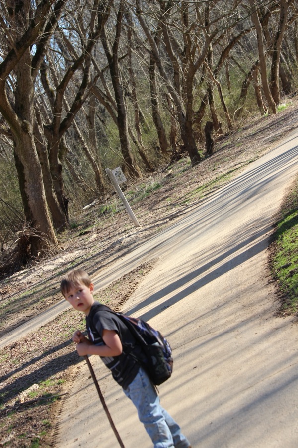
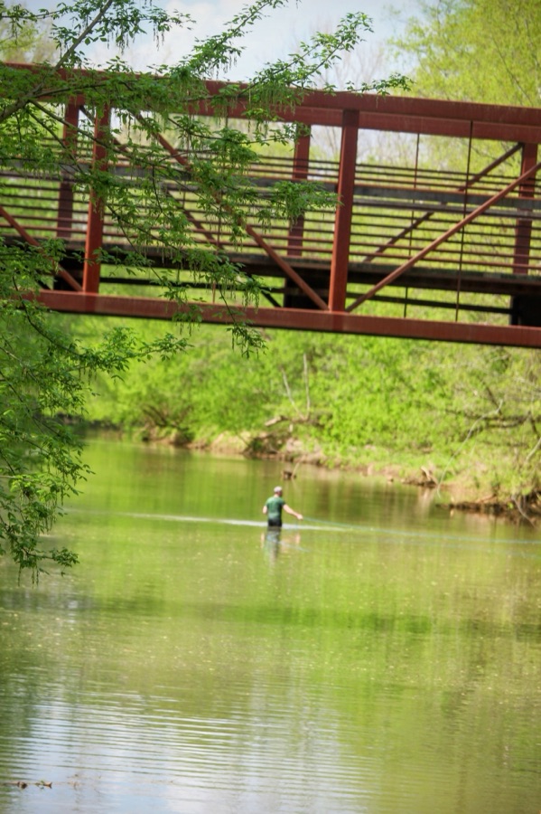
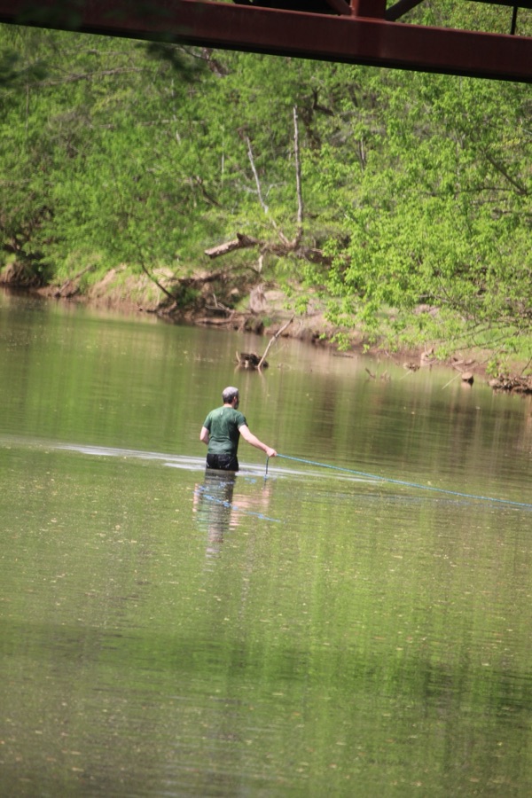
Coleman and I went hiking after he got home from school today (Friday). We walked downtown to Goat Island Park and Greenway. There weren’t any kids in the playground when we arrived, so I made a decision for us to hike along the trail first and then come back to the playground when we were finished hiking.
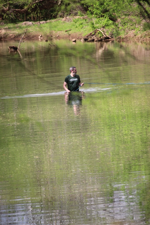
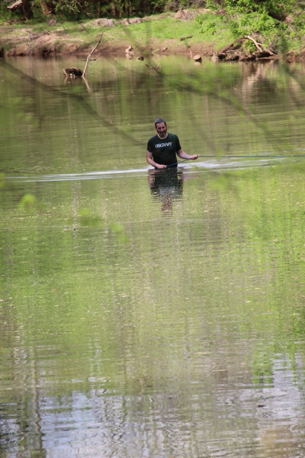
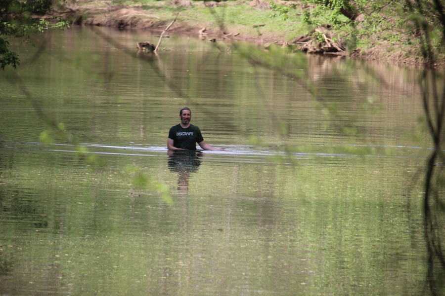
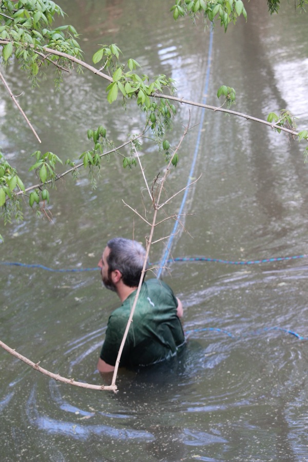
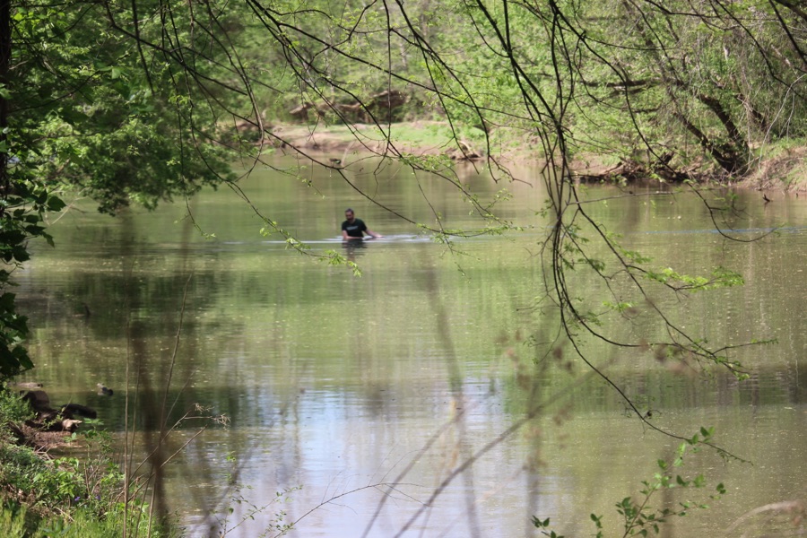
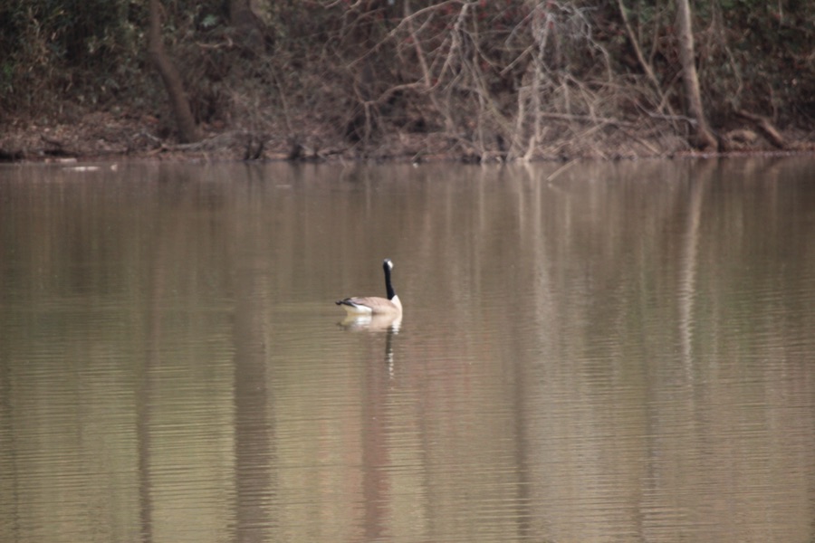
We started out along the paved hiking trail and meandered over to the dirt disc golf trail which runs simi-parallel to the South Fork Catawba River. While walking adjacent to the river, Coleman pointed out that there was a man standing in the river. This is not a normal sight when we are hiking. Therefore, we proceeded to investigate what the man was doing wading in the South ForkCatawba River.
At first, I thought the man Wading in the river was fishing even though most fishermen/women fish from one of the fishing piers or from the riverbanks. When we were close we asked the man what he was doing. It turns out that one of the disc golf catchers is on the opposite side of the river from where one is to throw the disc. According to the man wading in the river, many people miss the other side when they throw the disc across the river. So, it turns out he was searching the river for any golf discs that may have landed in the river. He had been searching for approximately twenty (20) to thirty (30) minutes when we approached him. Besides wearing waders the man was tethered to the riverbank by a rope to insure he wouldn’t be carried downstream if for some unpredictable strong wind and current tried to whisk him away. So you see, he wasn’t fishing for fish, but instead for golf discs.
We live in walking proximity to several access entrances to the South Fork Catawba River, so Coleman and I visit the River often. On this particular day, we accessed one of the back access points which, I believe, is seldom visited by the majority of visitors to Goat Island Park and Greenway.
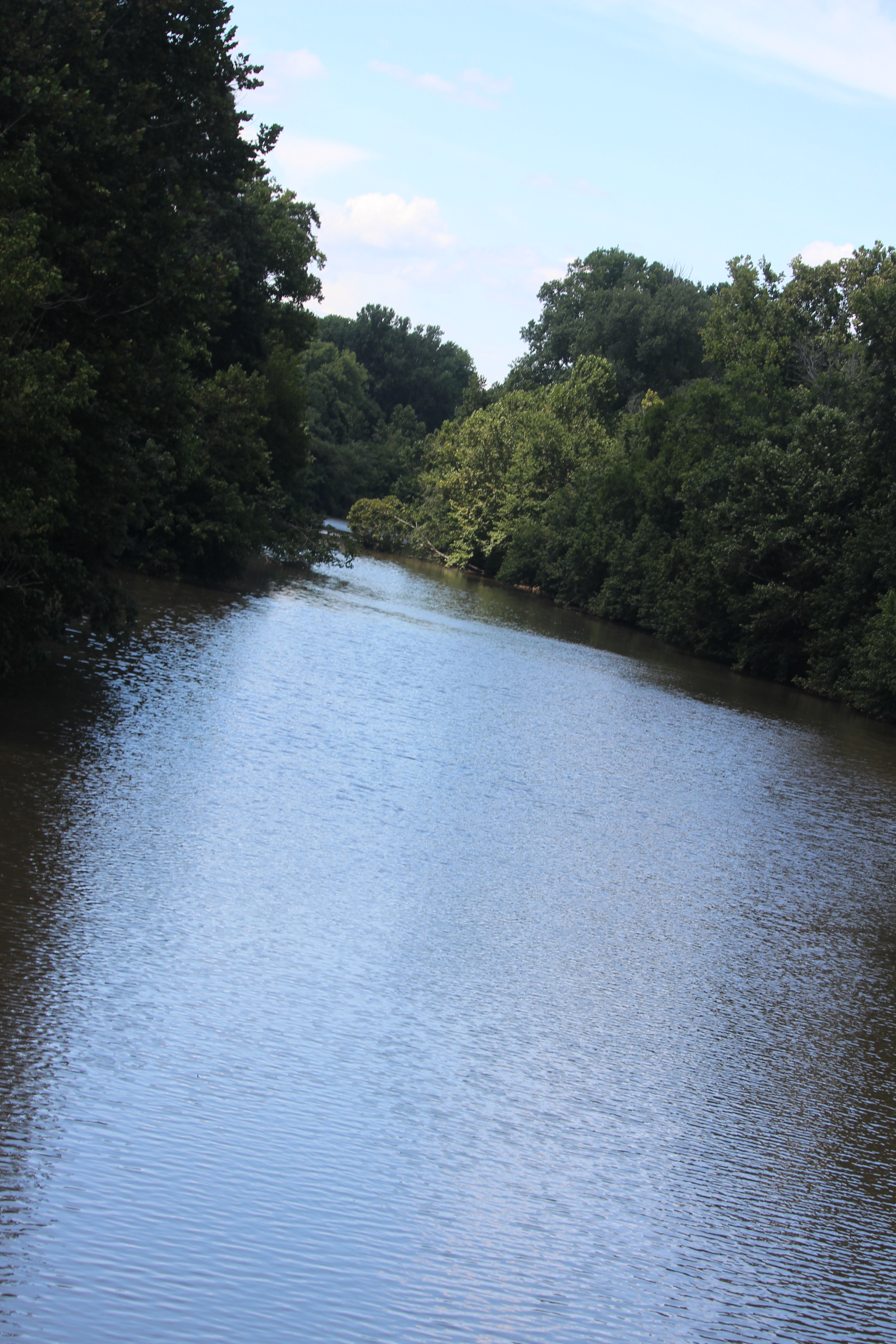
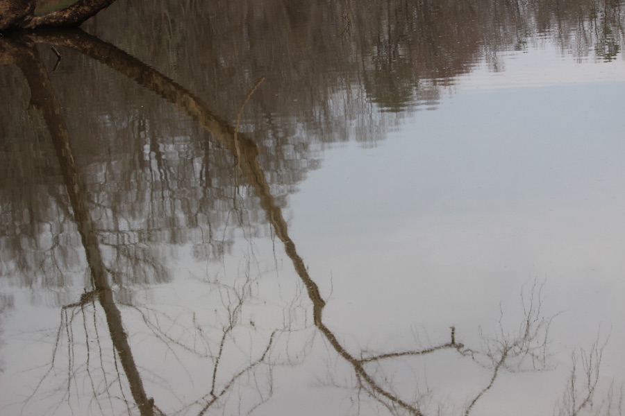
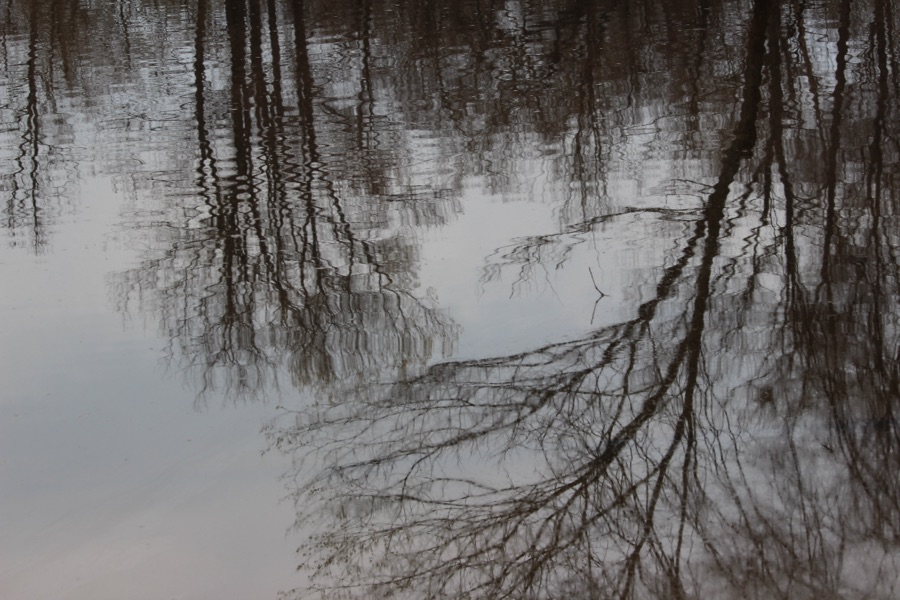
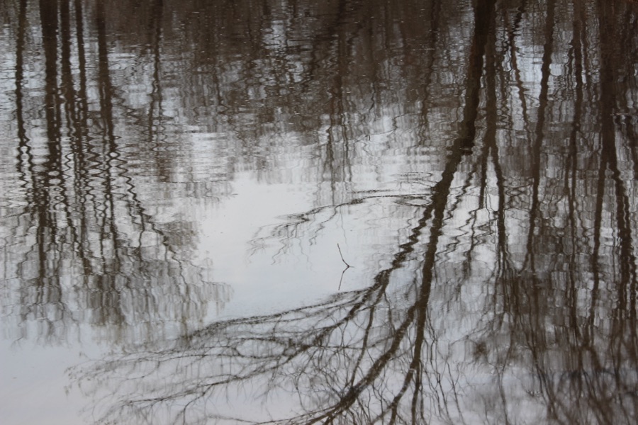
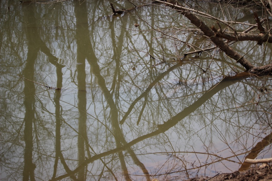
Here are the Ripples and Reflections we enjoyed seeing on our visit to the South Fork Catawba River.
Camera: Canon EOS Rebel T3i with Canon EF-S55-250mm lens and Altura UV & CPL Filter attachments.
Location: South Fork Catawba River; Goat Island Park and Greenway; Cramerton, North Carolina, USA
God Bless. Get Outdoors. Enjoy Nature. Capture the All around you. Thank you for visiting and sharing your time and thoughts with us. I appreciate y’all very much.
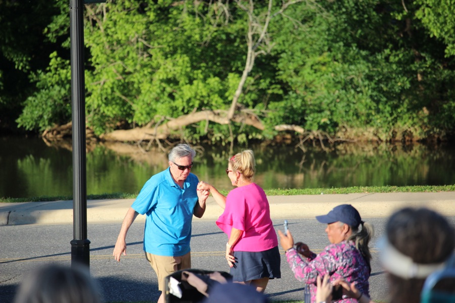
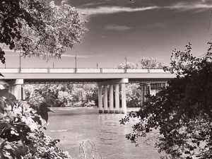
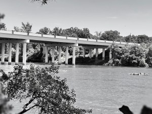
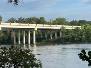
Welcome back to the Which Way Challenge. Another week has passed and we’re almost through with one-quarter (1/4) of 2025. Hope you’re all doing well and will be joining in on the Which Way Challenge .
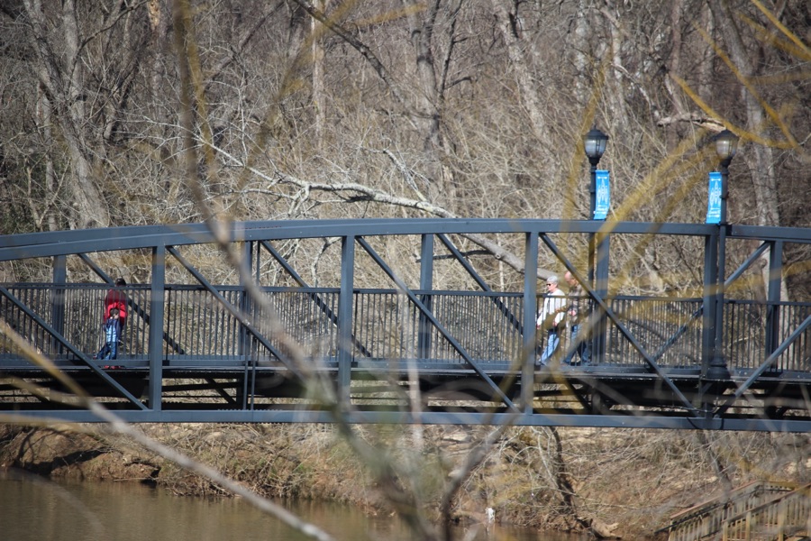
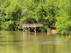
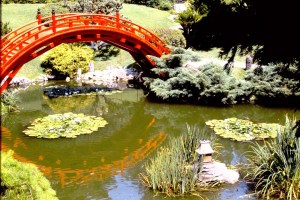
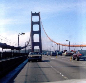
This week I have chosen a theme of Bridges. As you can see from my images the Bridges can be of a variety of types from Road Bridges to Swinging Bridges to Garden Bridges. Any type of Bridge will be suitable for this post.
Springtime in the Carolinas brings kayakers to the river for Funtime paddling in the water with rays of sunshine bringing warmth and tranquility to their lives.
Hey, Wait for me … I’m coming …
Okay, y’all who’s taking the lead?
Just let me finish maneuvering and I’ll by straight to follow y’all.
I’m ready now, shall we venture on?
Three kayakers in kayaks as seen from the banks of the South Fork Catawba River as Coleman and I were hiking the Disc Golf Trail parallel to the river. We watched the fellow in the red kayak maneuver his kayak away from the River bank and paddle to catch up with the other two kayakers to continue joining them on their adventure downstream.
Camera: Canon EOS Rebel T3i with Canon EF-S55-250mm lens and Altura UV & CPL Filter attachments.
Location: South Fork Catawba River; Goat Island Park and Greenway; Cramerton, North Carolina, USA
God Bless. Get Outdoors. Enjoy the Spring Sunshine and have fun. Thank you for visiting and sharing your time and thoughts with us. I appreciate y’all very much.
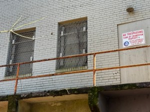
While hiking the C.B. River Access Trail, Coleman and I discovered this elevated building on stilts near the South ForkCatawba River. When the area receives heavy rainfalls or flooding the water rises all the way up the shoreline and under this building and others similar in structure.
The first image is a close-up view depicting the boarded up door.
No Trespassing Town of Cramerton Property
The second image highlights the entire sideview of building.
I am not sure what the building’s purpose might be, but it was fascinating to find on our hike.
Location: C.B. Huss River Access; 480 11 St.; Cramerton, North Carolina, USA
God Bless. Enjoy a walk. Get outdoors. Nature’s Beauty is Amazing. Thank you for visiting and sharing your time and thoughts with us. I appreciate y’all very much.
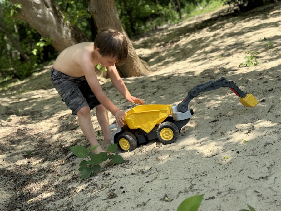
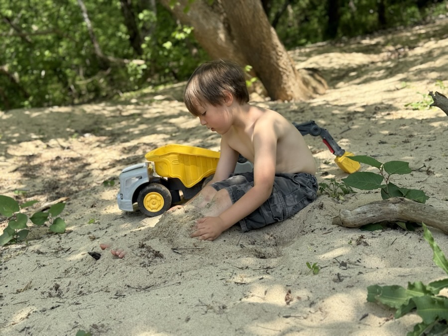
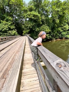
While hiking a hidden (almost) dirt trail at Riverside Park and Greenway this past weekend, Coleman and I came upon this lone Benchin the middle of a sandy area near the South Fork Catawba River.
Backside of Bench
I am not sure if anyone else knows about this Bench and the Sandy area along the South Fork Catawba River or not. Coleman and I have not seen anyone else around the area. Most people stay near the Fishing Piers at the Greenways.
Frontside of Bench
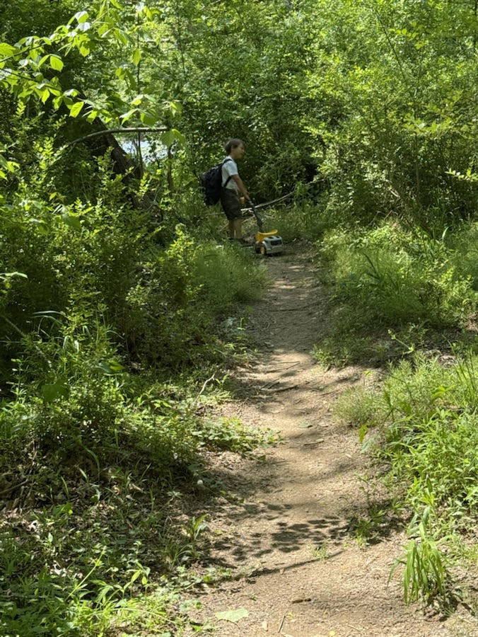
It gives Coleman an opportunity to play undisturbed in the Sand with his Little Tikes construction vehicles. He is quite the “engineer” designing his own roads, bridges and tunnels in the sand.
It also allows me to have a peaceful serene tranquil relaxing place to Pull Up a Seat to relax and enjoy watching Coleman play.
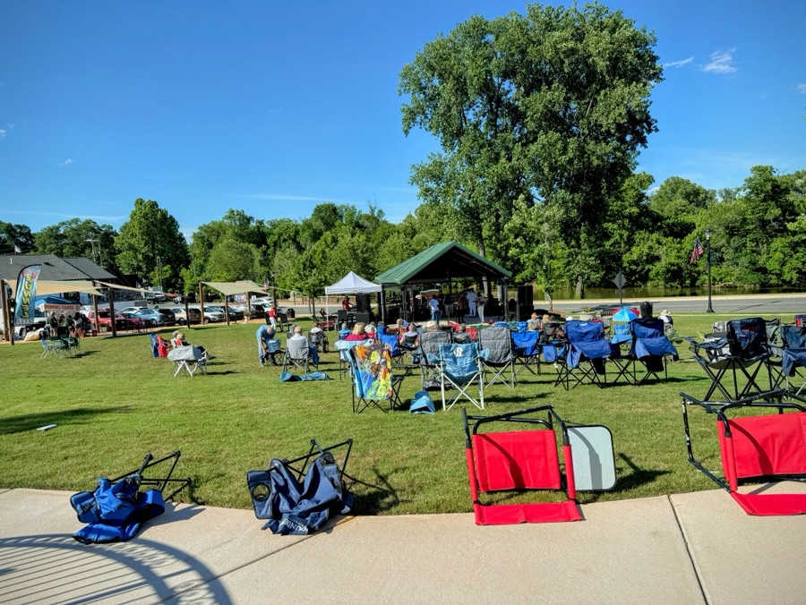
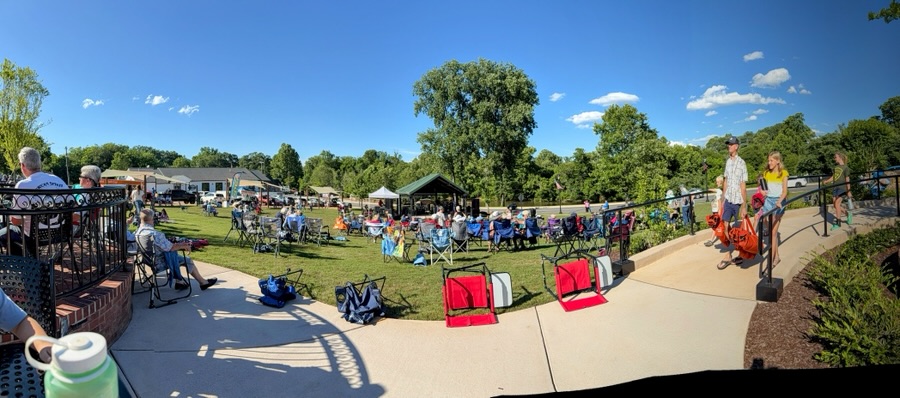
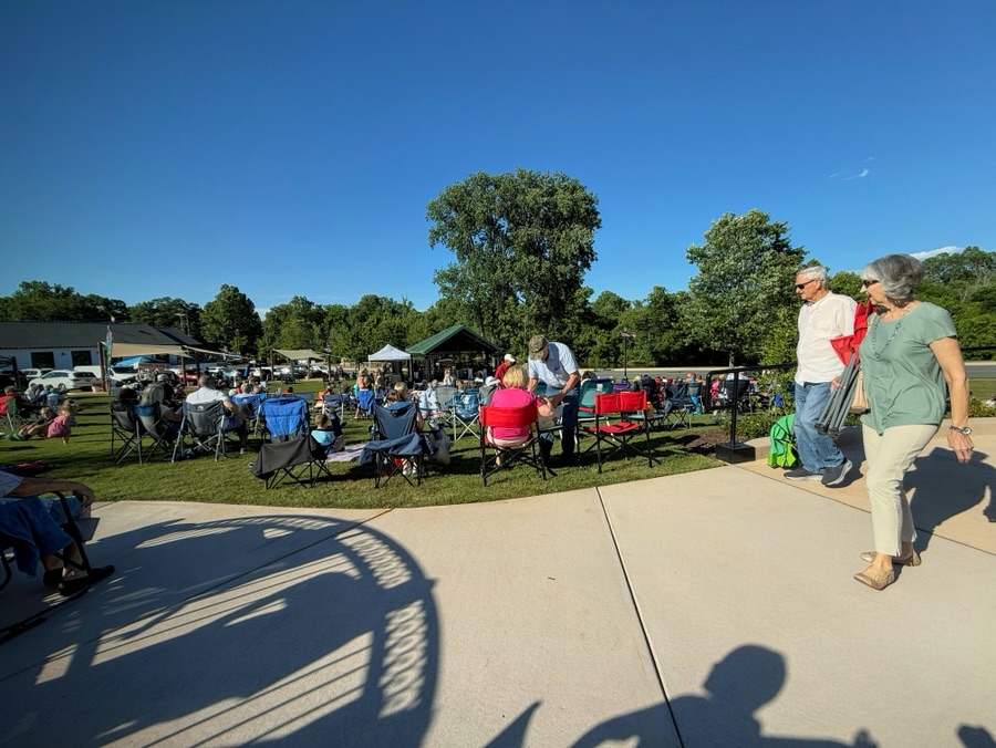
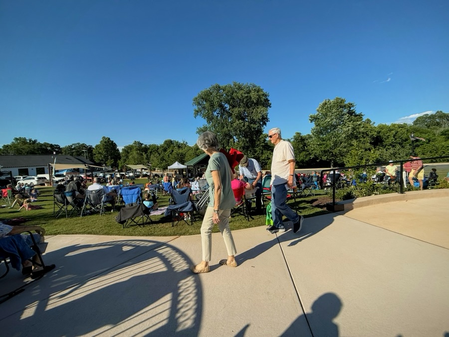
The host this week for Monochrome Madness is Brian from bushboy.blog. Brian has chosen a theme of Chair or Chairs for this week’s challenge. Let’s play along and discover what Chairs we can find.
Everywhere Coleman and I go there’s always someplace Coleman can find to Pull Up a Seat …
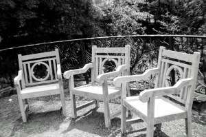
We might find a Chair to Pull Up a Seat at the Daniel Stowe Botanical Garden …
Belmont, North Carolina
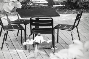
Or we might find a Chair to relax in The Center …
Downtown Cramerton, North Carolina
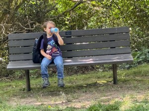
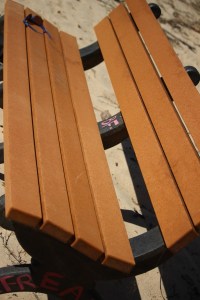
We could locate a table and Chairs to Pull Up a Seatand enjoy a refreshing drink and snack before continuing on a hike …
Lake Haigler Entrance Anne Springs Close Greenway Fort Mill, South Carolina
Then there’s a chance we could spot a couple of Chairs on display in an office setting at a museum …
The Schiele Museum of Natural History Gastonia, North Carolina
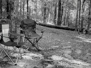
Coleman and I enjoy Pulling Up a Seat in a camping Chair at a State Park after a long hike around the lake …
Andrew Jackson State Park Lancaster, South Carolina
But a fond memory of a place of comfort was the opportunity to Pull Up a Seaton my paternal grandparents front porch.
My dad and Paternal Grandfather Great Falls, South Carolina
Now over to y’all to show us some Chairsby clicking here.
Cameras: 1-4) Canon EOS Rebel T3i; 5) Apple iPhone 11 Pro Max; 6) Minolta XG-7 35mm (my dad’s).
God Bless. Pull Up a Seat for a spell. Enjoy the peace and comfort of a day’s journeys ending. Thank you for visiting and sharing your time and thoughts with us. I appreciate y’all very much.
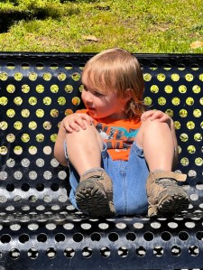
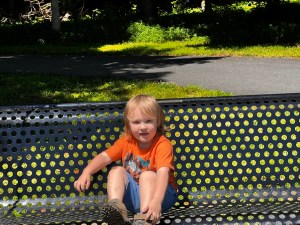
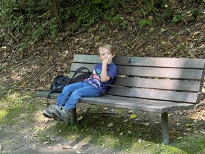
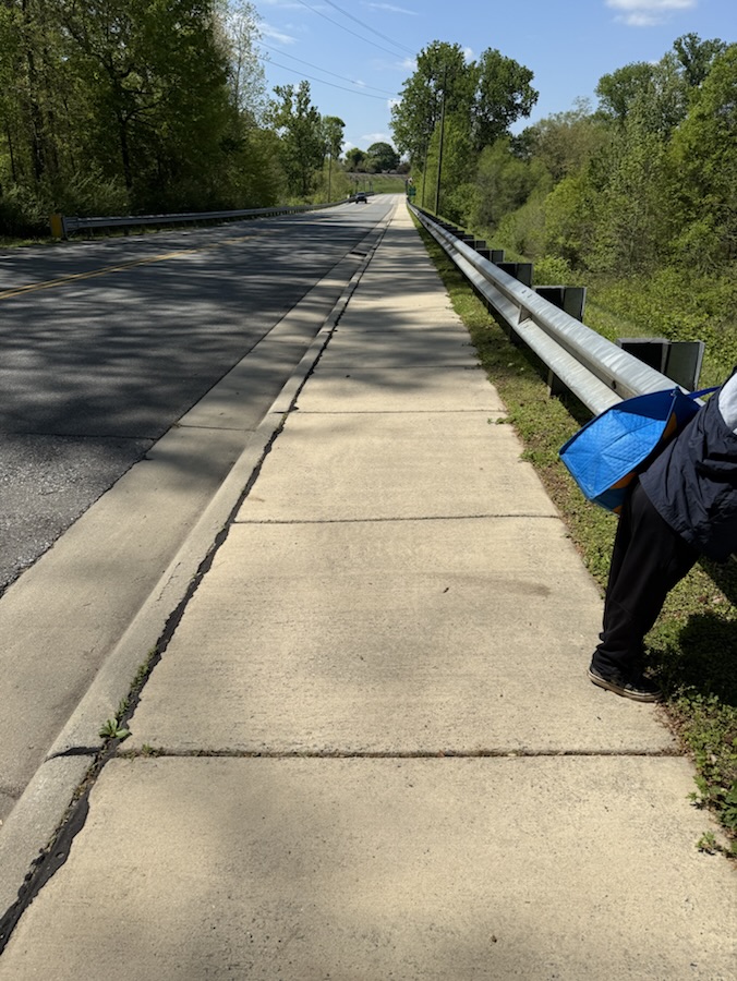
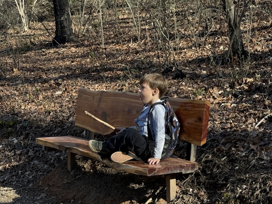
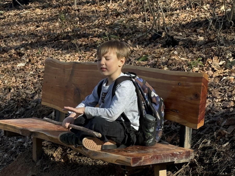
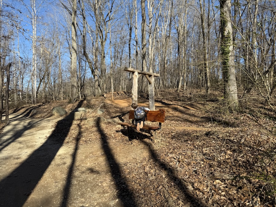
Coleman and I hiked a new (to us) trail today after he arrived home from school and switched shoes. We had to walk approximately one mile alongside the road (not every section had a sidewalk), across the C. Claudius Dawson Bridge (which crosses over the South Fork Catawba River) and cross the forked road before reaching our destination to eventually begin our hike for the afternoon.
On our hike we periodically encountered a wooden Bench here, there, and yonder along the Rocky Branch Trail. Here are a few of the Benches we happened upon throughout our hike.