To do so, simply share the photo* you have set as your wallpaper;
Provide as little or as much detail as you wish;
Use a pingback, or post a link here so I know you have joined in on the fun;
Then finally, share the fun around.
I am sharing my Wallpaper from both my Laptop and my Smartphone. I enjoy looking at different images each month. Most of which revolve around Coleman (my grandson) and nature.
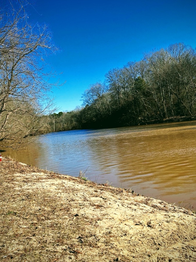
Here are my Smartphone Wallpapers:
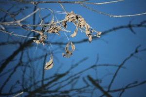
Personal Focus
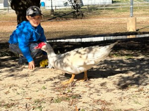
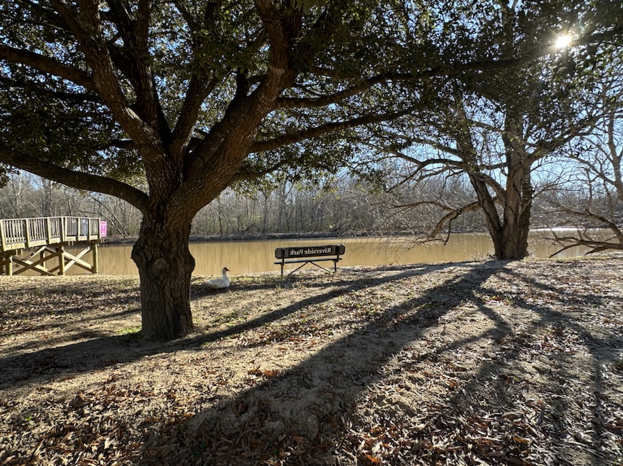
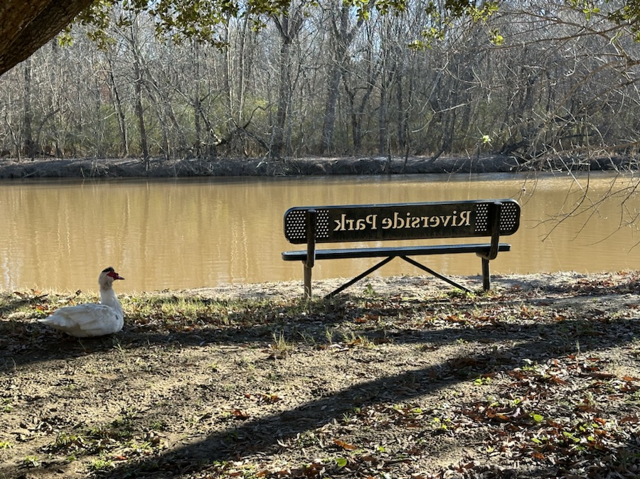
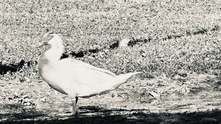
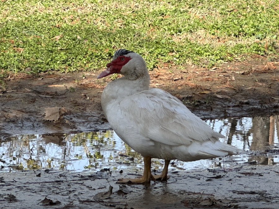
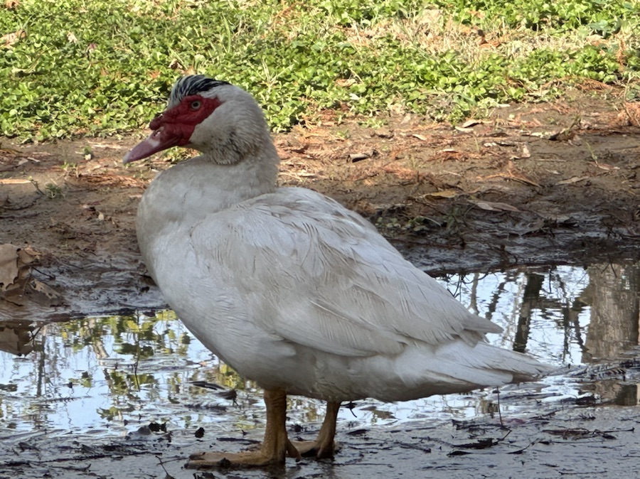
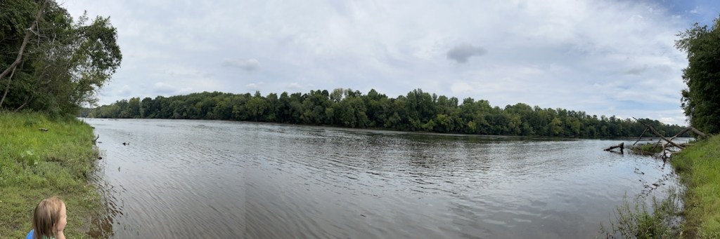
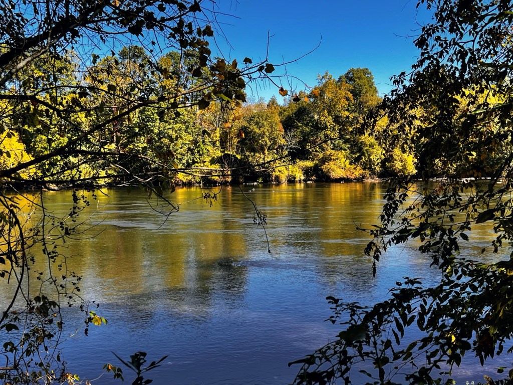
Coleman & Muscovy Duck in Riverside Park and Greenway
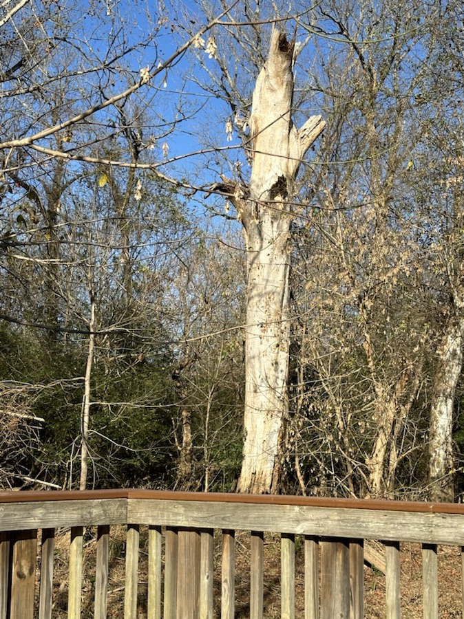
Hiking Focus
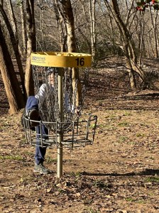
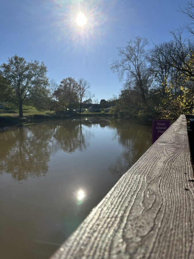
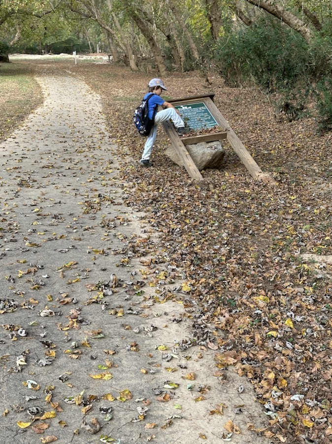
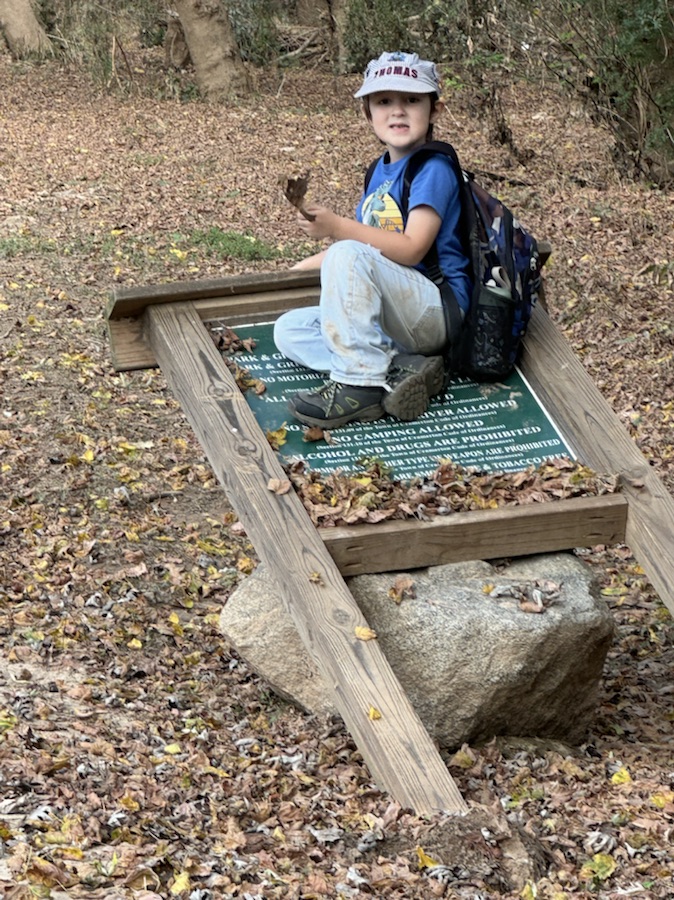
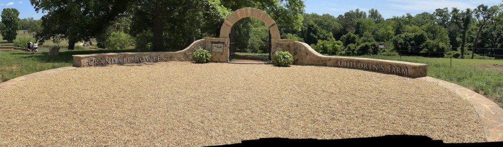
Coleman checking out the Disc Golf Catcher at Goat Island Park and Greenway
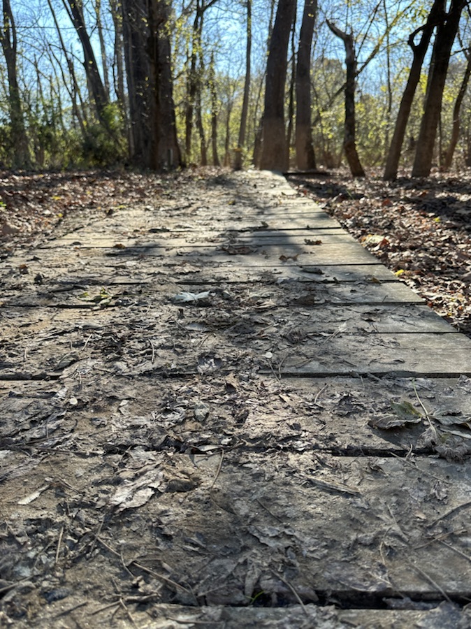
Reading Focus
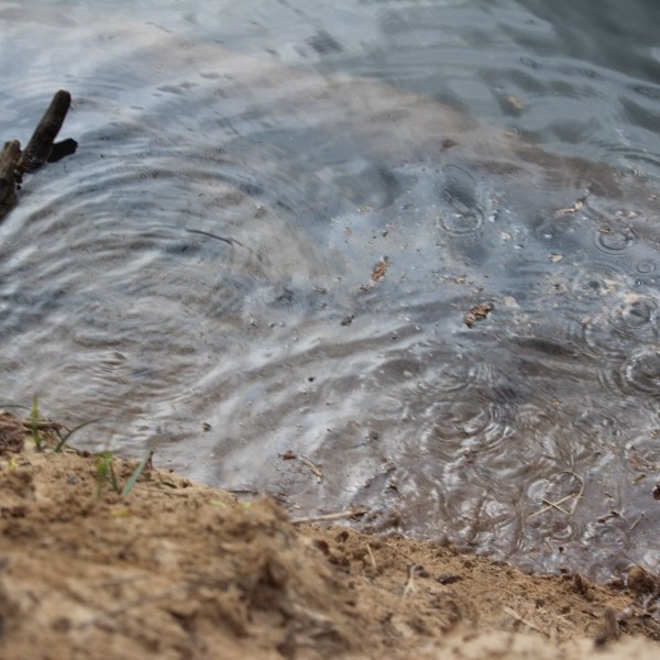
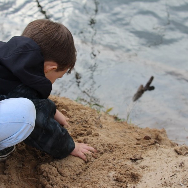
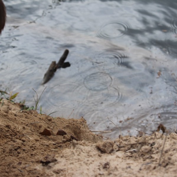
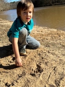
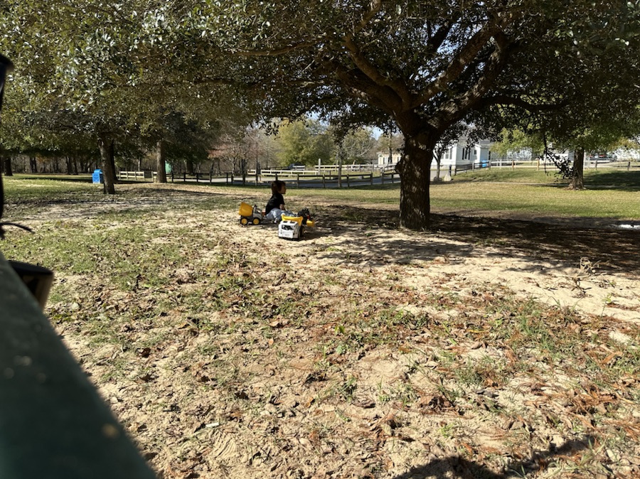
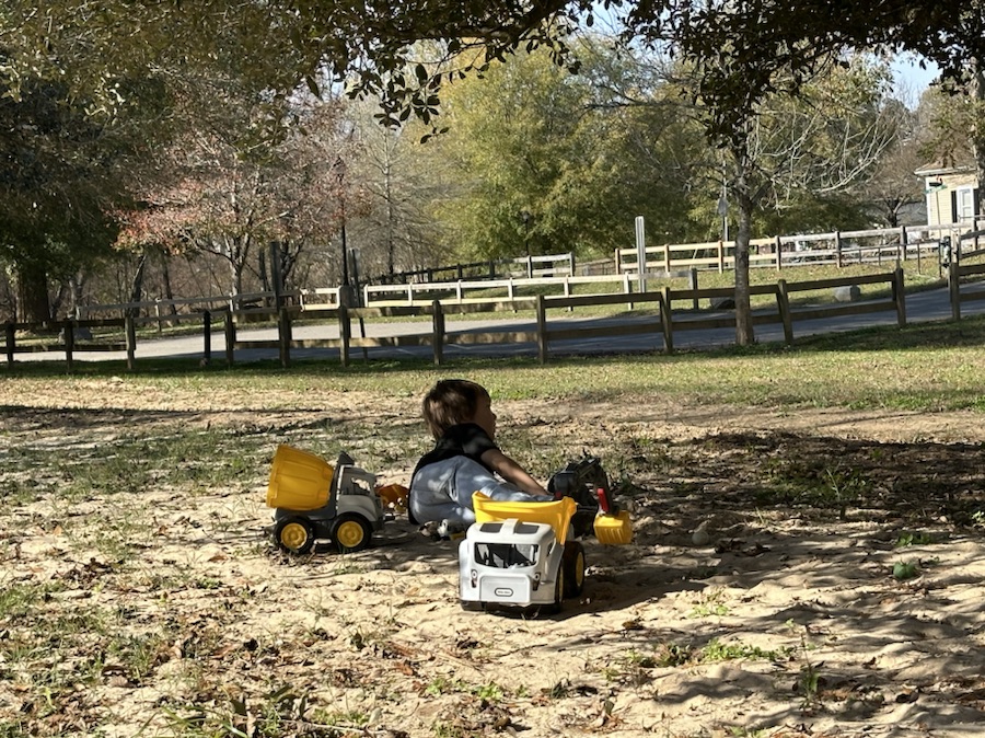
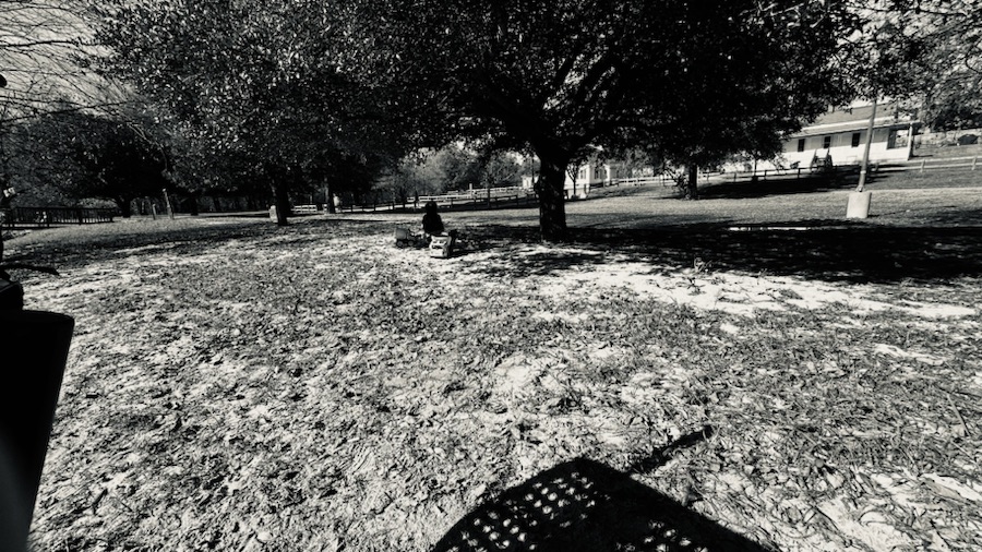
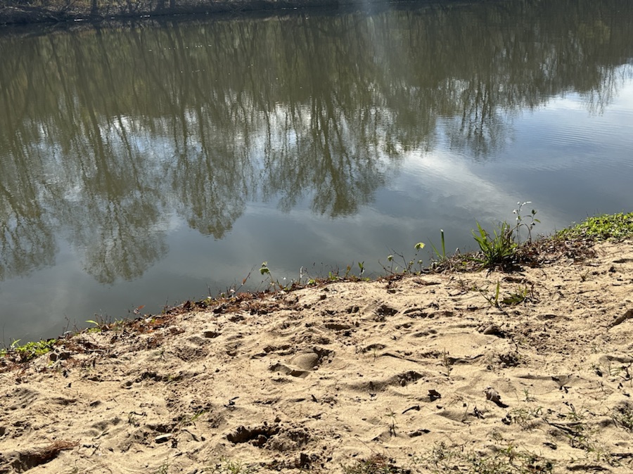
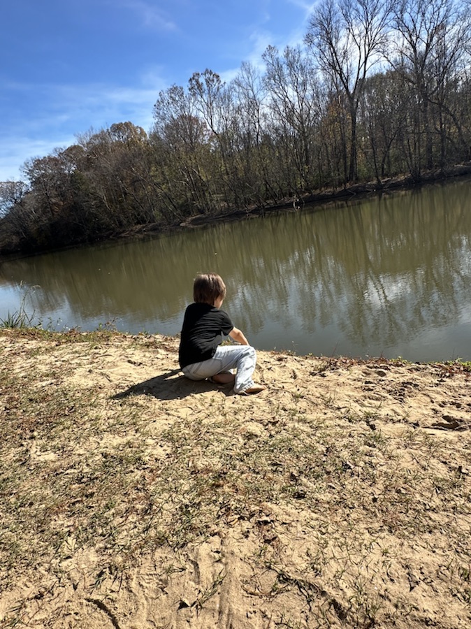
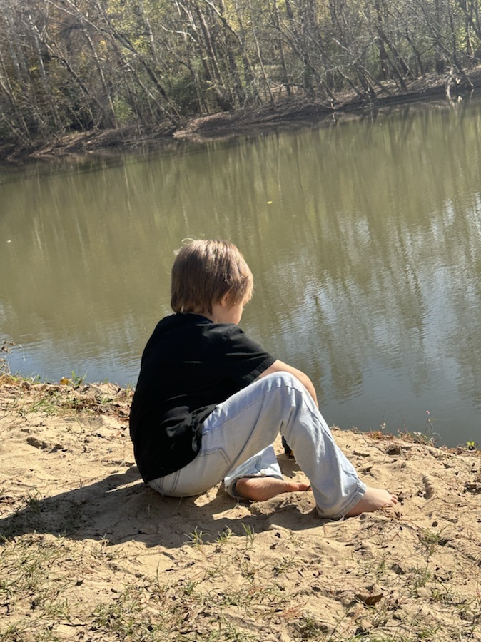
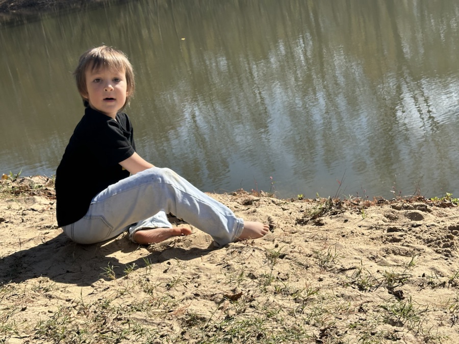
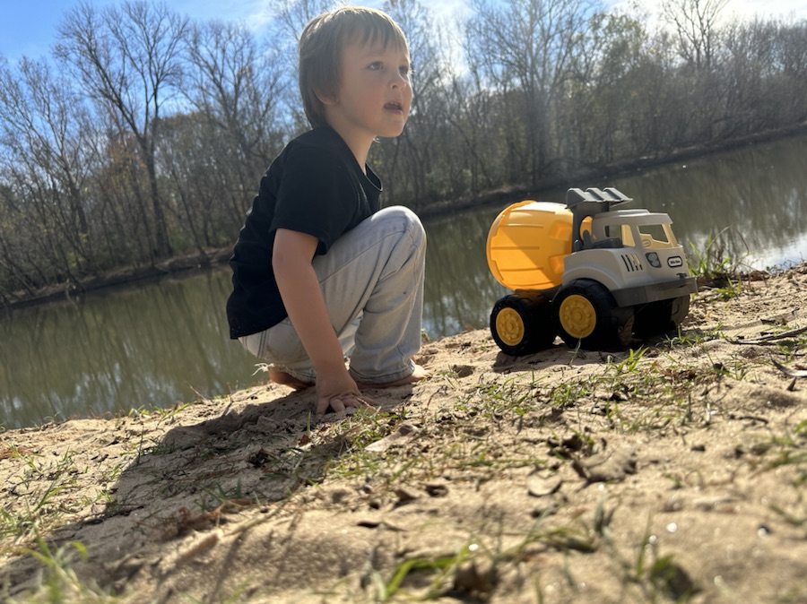
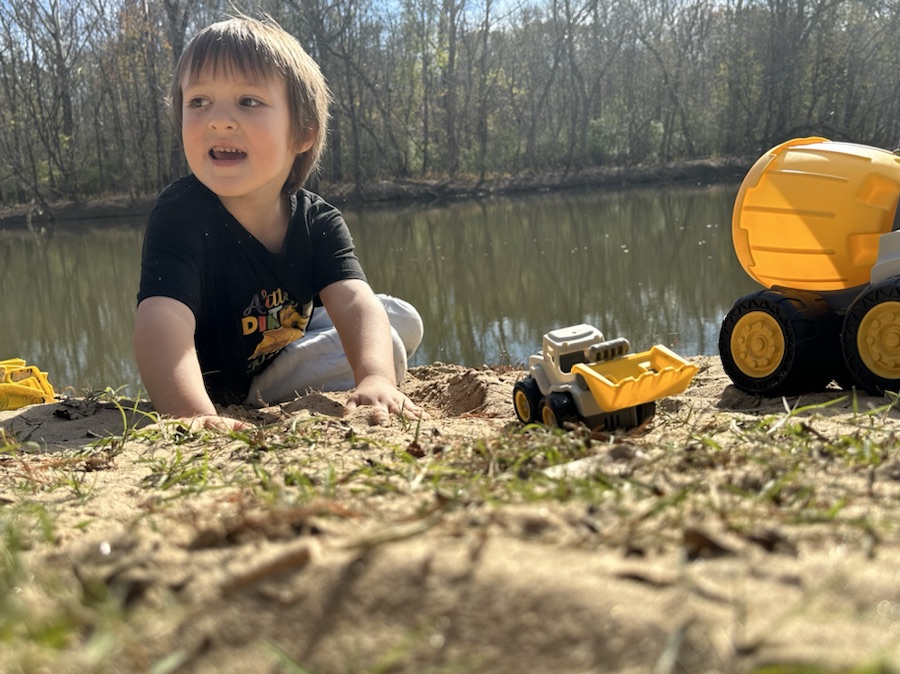
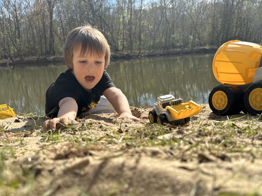
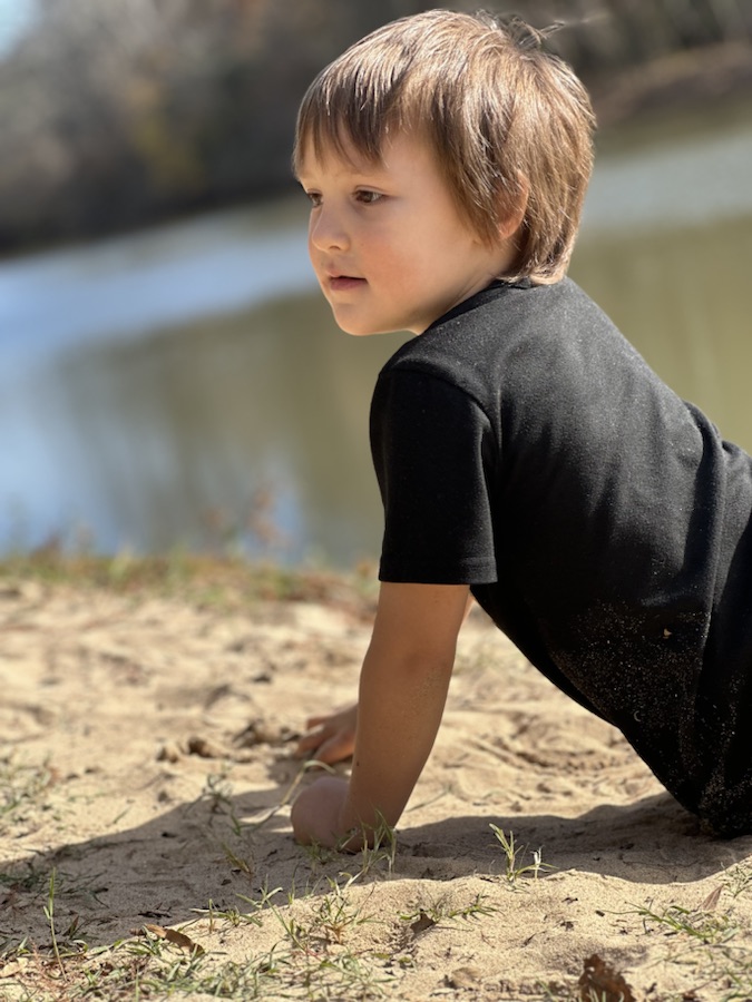
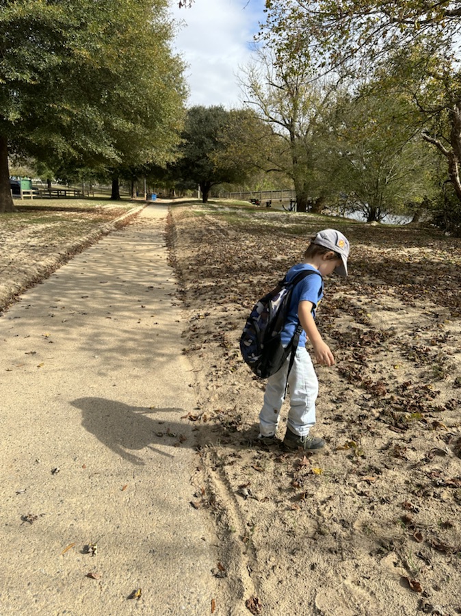
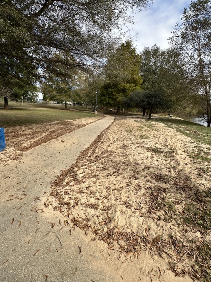
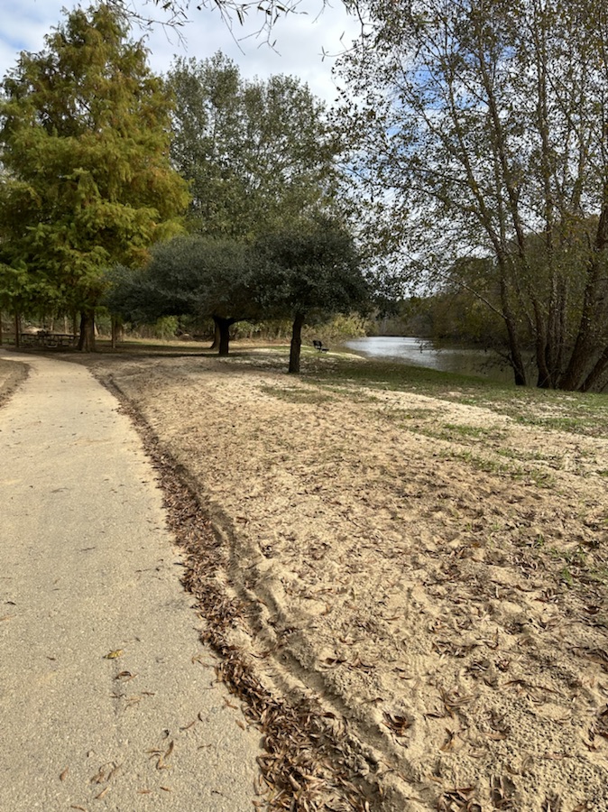
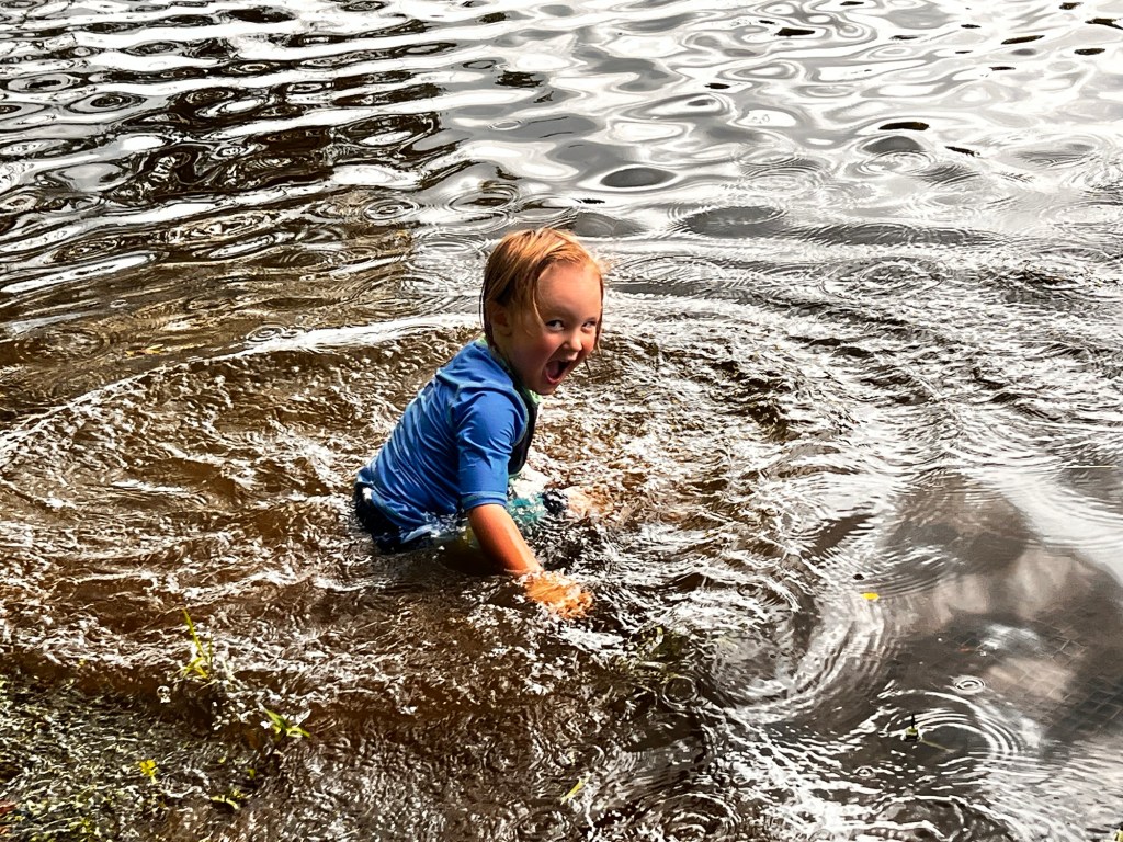
Coleman playing in the Sand at Riverside Park and Greenway
Here are my Wallpapers from my Laptop:
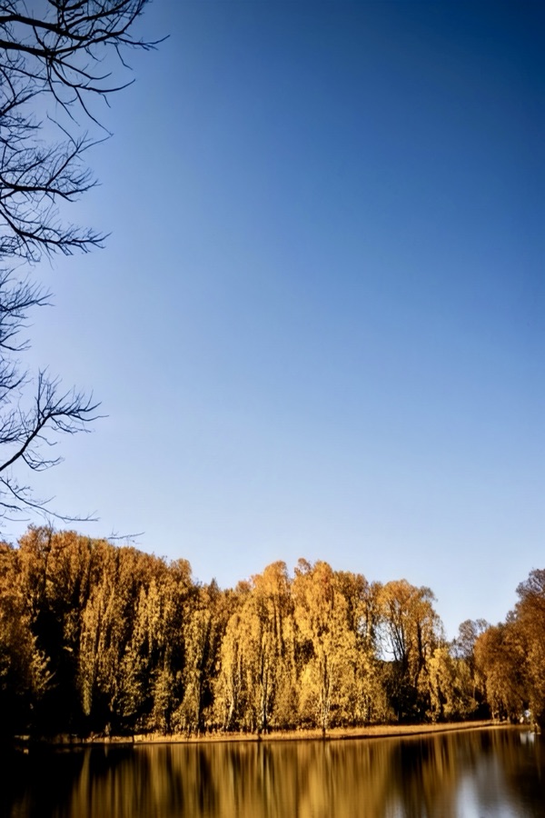
Laptop Desktop Wallpaper
Coleman sitting on a Tree Limb Goat Island Park and Greenway
Cameras: 1-3) Apple iPhone 14 Pro Max; 4-5) Canon EOS Rebel T3i with Canon EF-S55-250mm lens and Altura UV Filter attachment.
Location: 1-2) Riverside Park and Greenway; 3-5) Goat Island Park and Greenway; Cramerton, North Carolina, USA
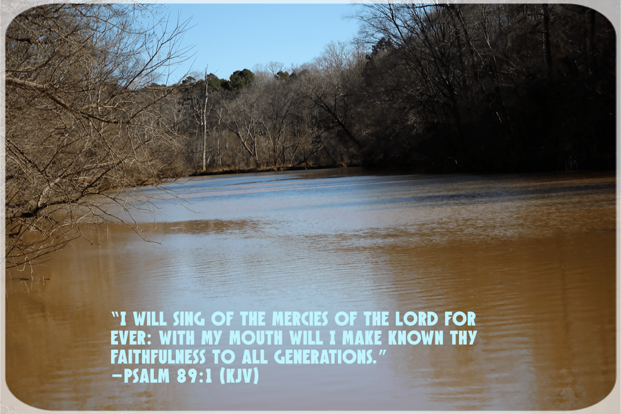
God Bless. Have a funtastic week. Keep Warm. Stay Safe. Thank you for visiting and sharing your time and thoughts with us. I appreciate y’all very much.
Camera: Canon EOS Rebel T3i with Canon EF-S55-250mm lens and Altura UV and Star filter attachments.
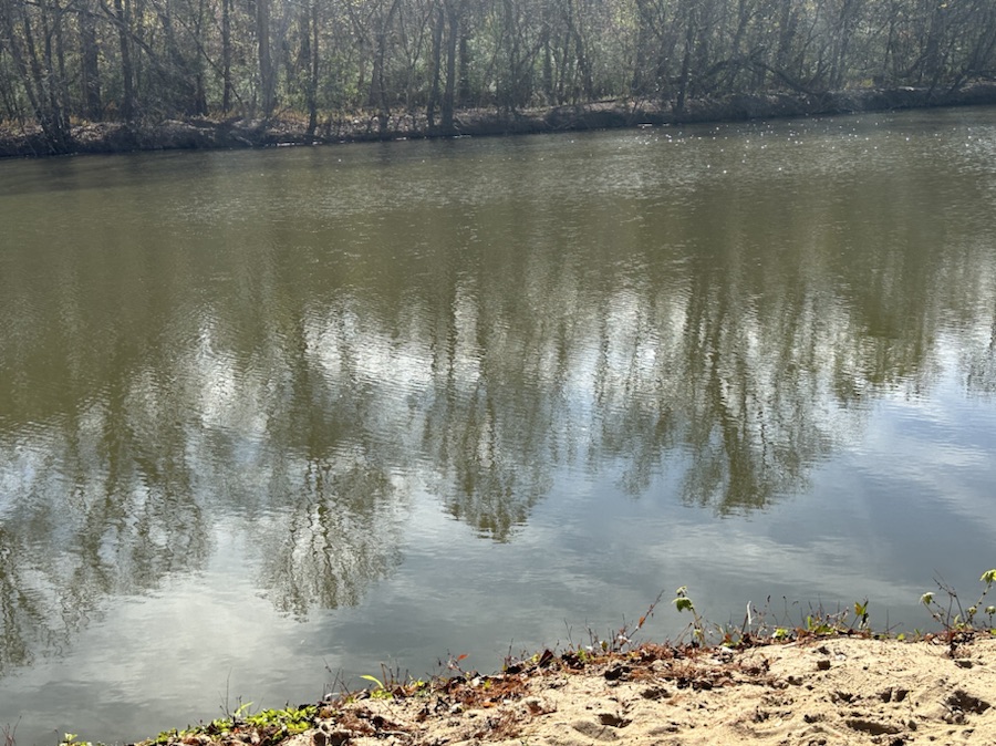
Location: Banks of the South Fork Catawba River; Riverside Park and Greenway; Cramerton, North Carolina, USA
God Bless. Count your blessings one by one. Be Grateful for all you’ve been given. Thank you for visiting and sharing your time and thoughts with us. I appreciate y’all very much.
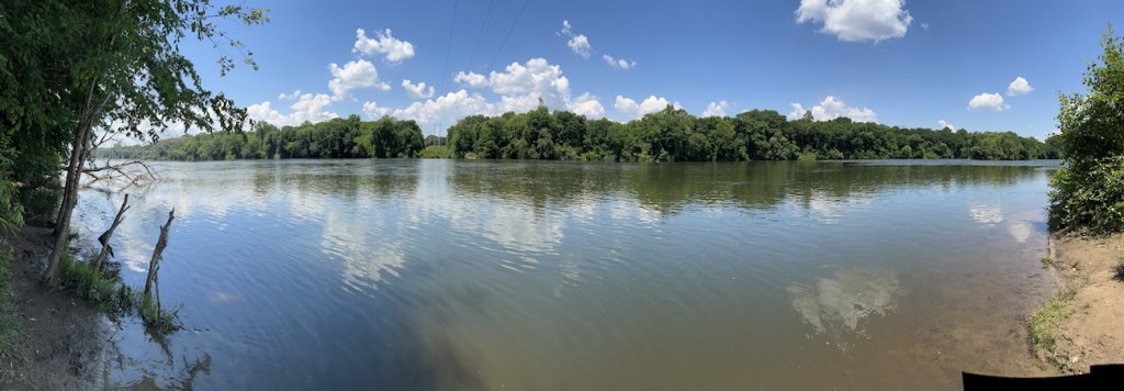
Camera: Canon EOS Rebel T3i with Canon EF-S55-250mm lens and Altura UV & Star filter attachment.
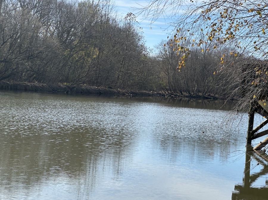
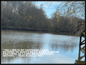
Location:South Fork Catawba River; Riverside Park and Greenway; Cramerton, North Carolina, USA
God Bless. Thank you for visiting. Have a wonderful week and enjoy nature. Thank you for sharing your time and thoughts with me. I appreciate y’all very much.
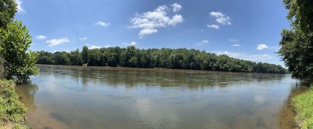
Camera: Canon EOS Rebel T3i with Canon EF-S55-250mm lens and Altura UV & Star filter attachments.
Location: South Fork Catawba River; Riverside Park and Greenway; Cramerton, North Carolina, USA
God Bless. Relax by the River. Be inspired to be You. Nature’s Beauty is amazing. Thank you for visiting and sharing your time and thoughts with us. I appreciate y’all very much.
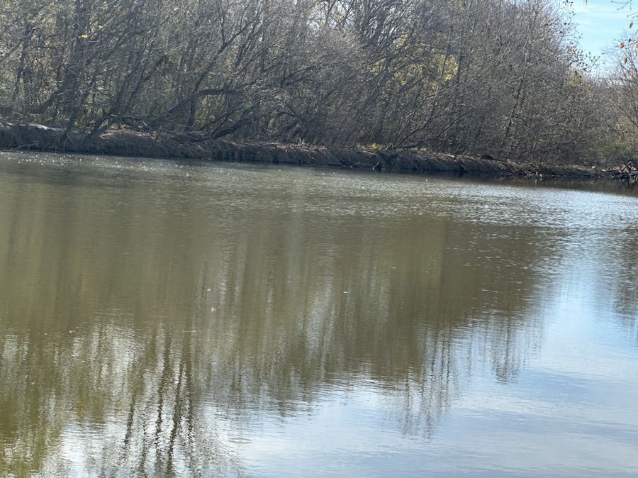
Location: South Fork Catawba River; Riverside Park and Greenway; Cramerton, North Carolina, USA
God Bless. Relax by the River. Be inspired to be You. Nature’s Beauty is amazing. Thank you for visiting and sharing your time and thoughts with us. I appreciate y’all very much.
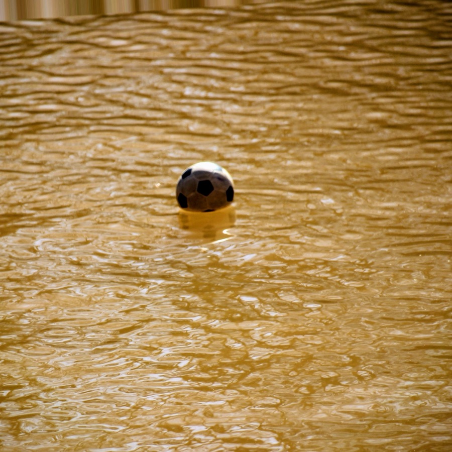
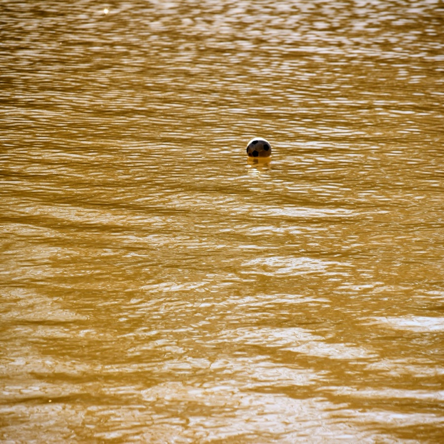
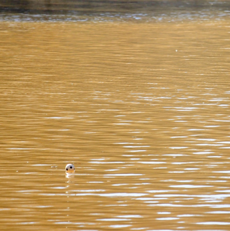
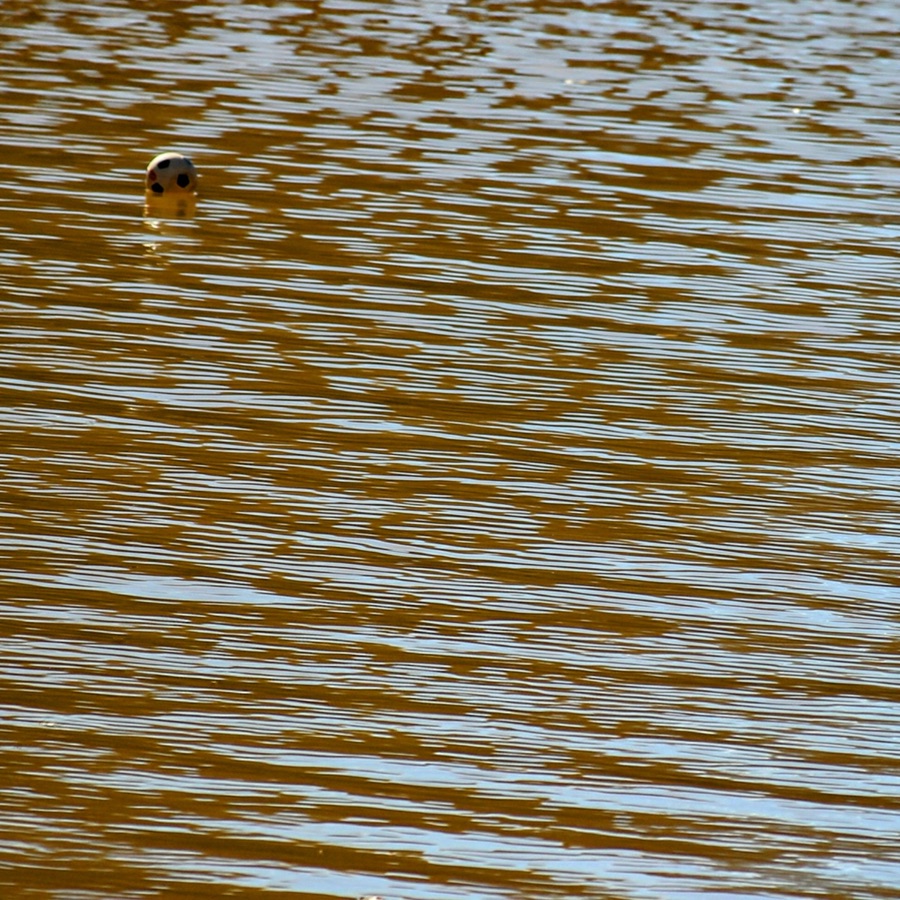
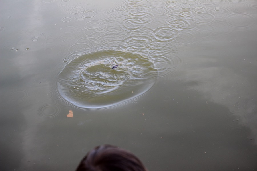
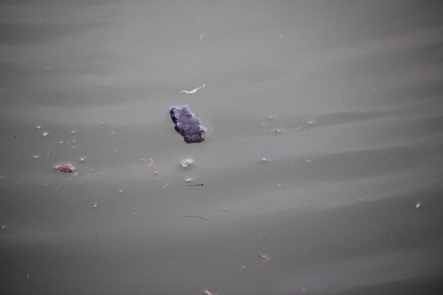
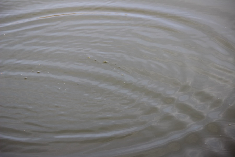
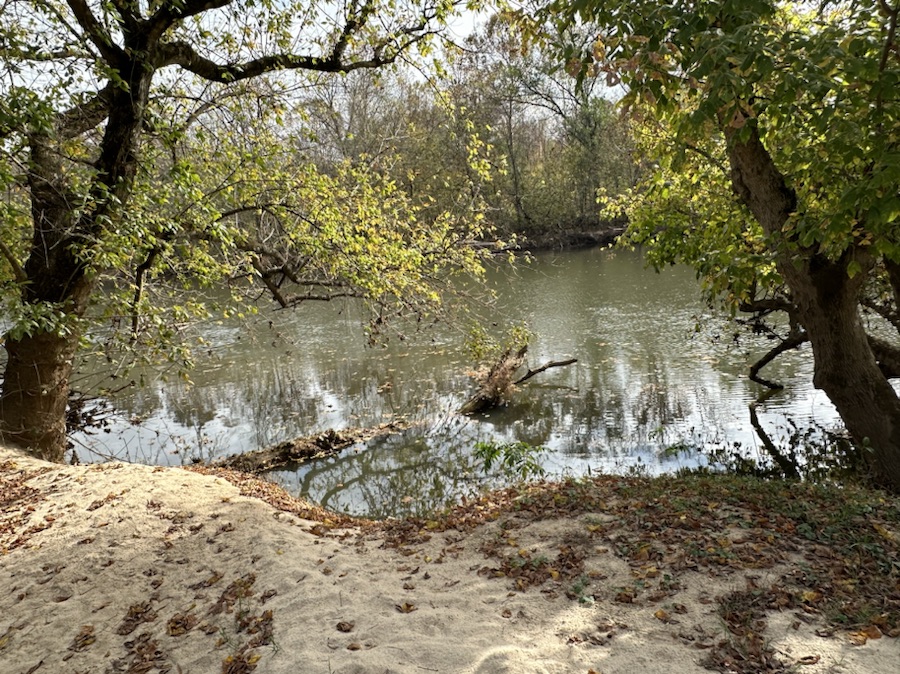
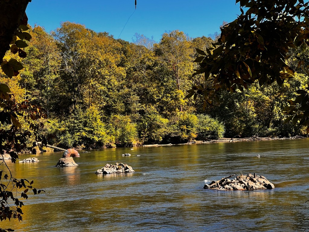
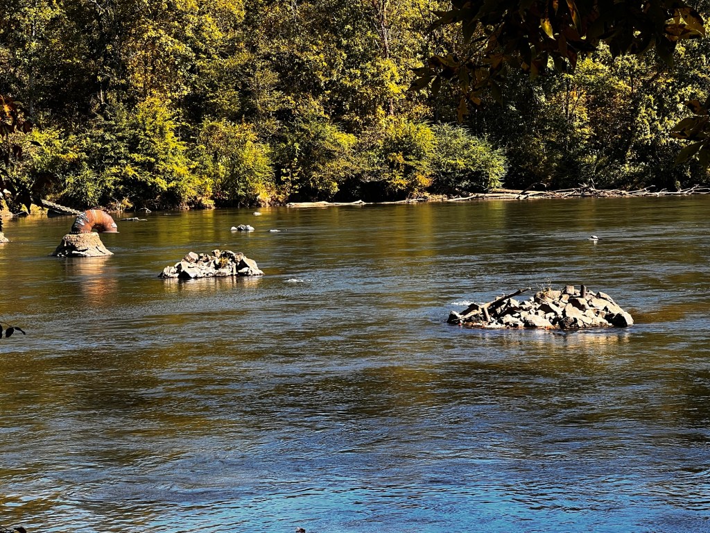
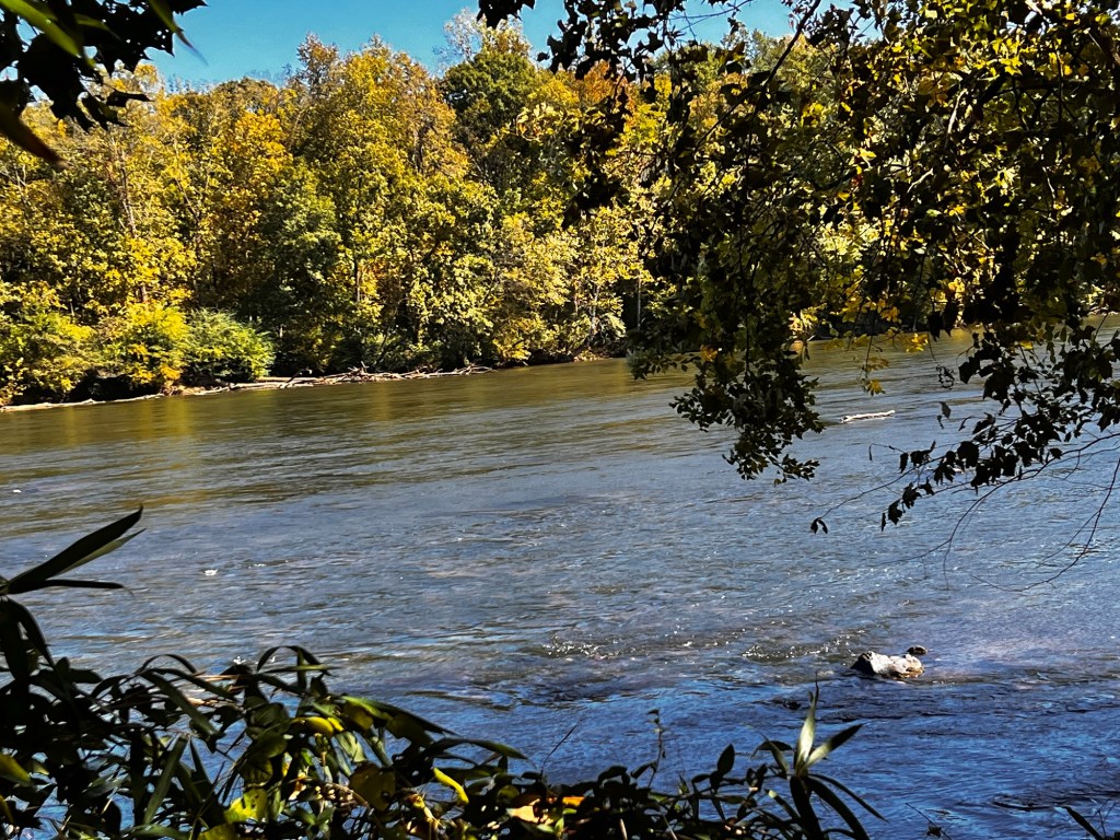
Coleman was playing with his small soccer ball on the bank of the South Fork Catawba River. He tried making a blockade to keep it from sliding into the water, but alas it failed. His soccer ball with its geometric shapes rolled down into the river.
These depict the travel of his soccer ball floating down the South Fork Catawba River, lost to him forever. Bye, bye soccer ball. Click on each image ( if desired) for larger enhanced viewing.
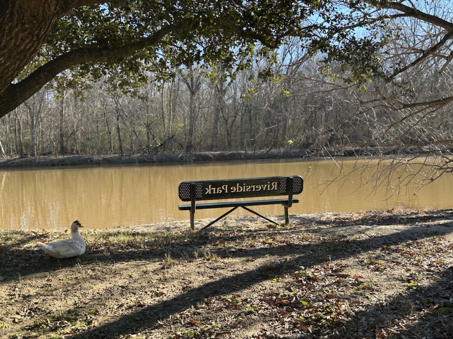
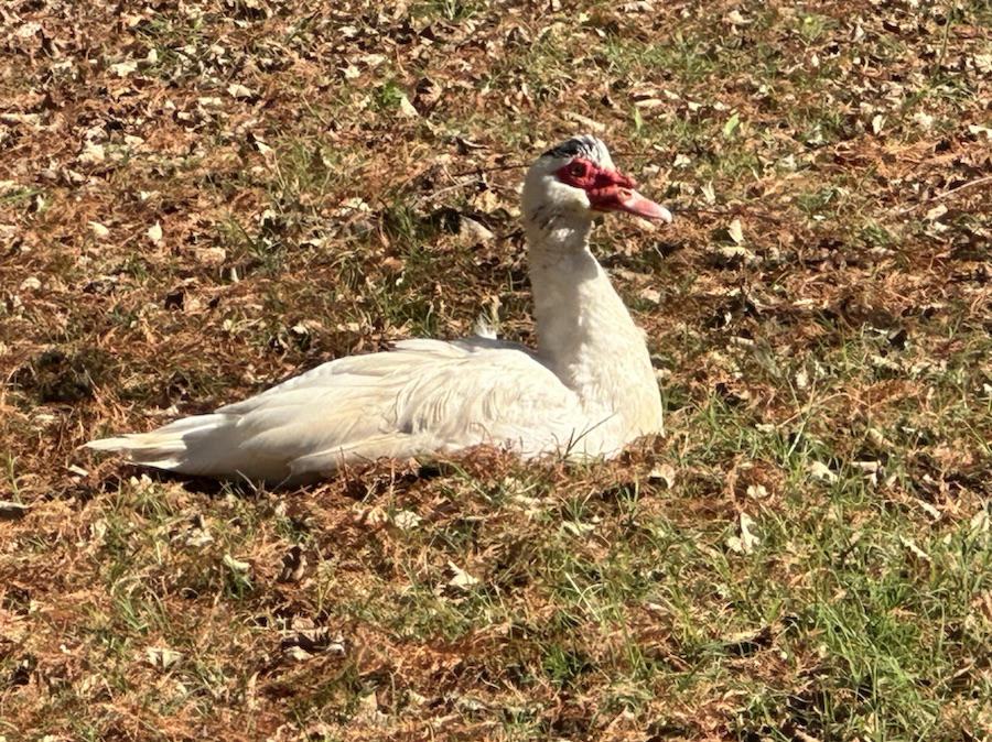
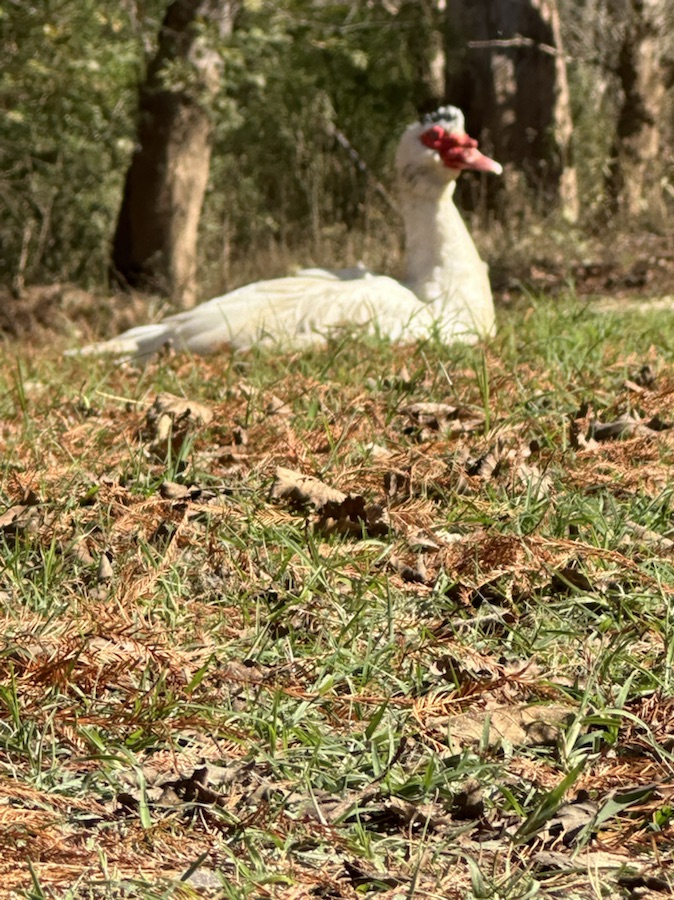
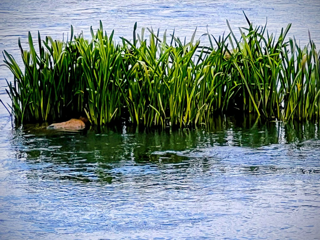
When Coleman and I visited the Greenway on New Year’s Afternoon we actually Pulled Up a Seaton a bench on the other side of the Pier. Couldn’t resist taking a picture of this one with the resident Muscovy Duck sitting nearby.
This Muscovy Duck was friendly with no qualms about approaching Coleman. ( Those pics are for a future post). It would come really super close to Coleman. When we first arrived Coleman sat down with his construction trucks and dinosaurs near his favourite tree. The Muscovy Duck seemed to think that tree was its spot. It appeared to be saying “Why are you in my area?” It walked all around Coleman and decided he was friendly enough, so he would share the area.
It wasn’t until some people came to the river with a dog that the duck switched locations to the area pictured above.
Location: At the South Fork Catawba River; Riverside Park and Greenway; Cramerton, North Carolina, USA
God Bless. Talk a Walk. Pull Up a Seat and Relax in Nature. Enjoy the Views. Thank you for visiting and sharing your time and thoughts with us. I appreciate y’all very much.
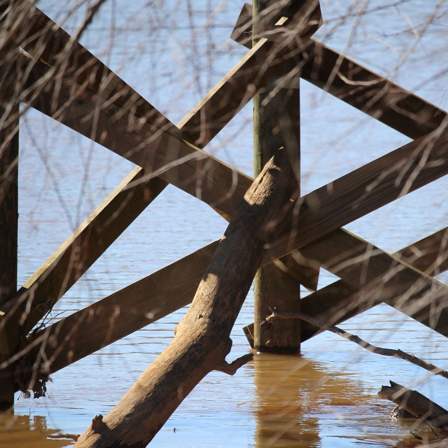
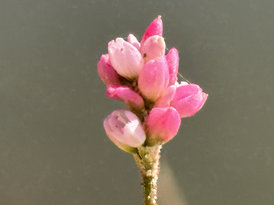
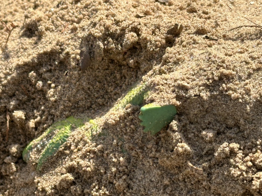
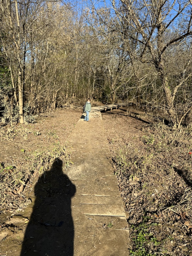
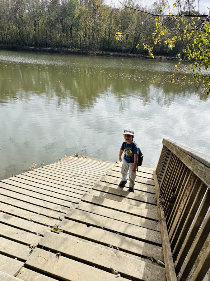
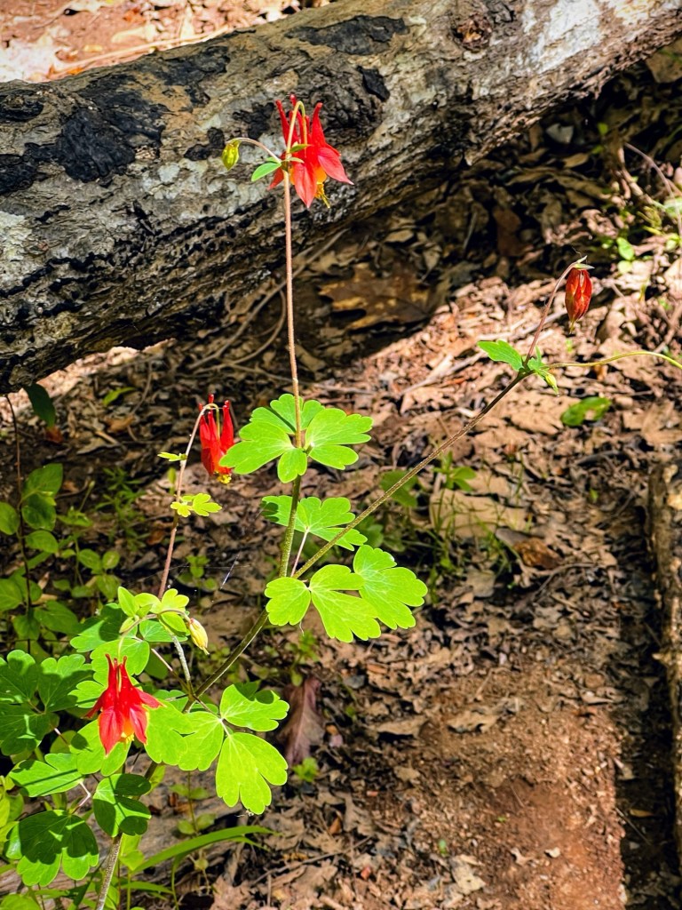
On January 1st, Coleman and I hiked a short ways to the Riverside Park and Greenway. While Coleman was playing in the sand by the South Fork Catawba River, snappy few shots with my camera. Being observant of my surroundings, I captured some fascinating GeometricJanuary shapes.
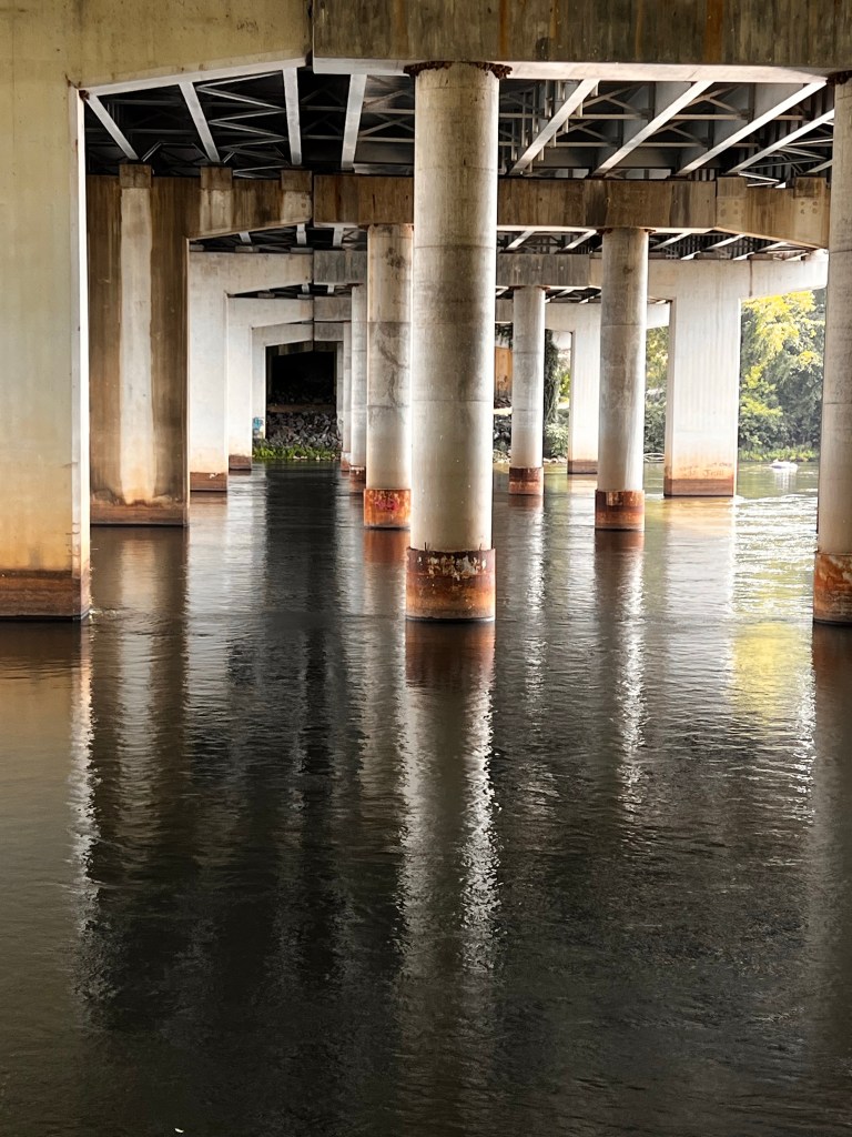
Look at all the joints holding the pier together. Amazing what you find when you look underneath.
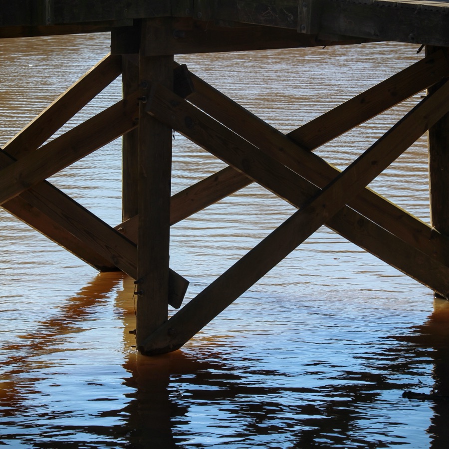
Another angle 📐 of the underside of the fishing pier.
If you thought the architectural design of the joints on the underside were fascinating, then you would be astounded by the sun’s rays radiatingover the water. Don’t you think it looks radiant ?
Camera: Canon EOS Rebel T3i with Canon EF-S55-250mm lens and Altura UV filter attachment.
Location: Riverside Park and Greenway Fishing Pier; Riverside Park and Greenway; Cramerton. North Carolina, USA
God Bless. Take time to relax and enjoy yourself. Get Outdoors and admire the beauty in nature. Thank you for visiting and sharing your time and thoughts with us. I appreciate y’all very much.
Posting as part of WWE and Judy’s Numbers Game #54-175. This week I have decided to post photos from the Baltimore Fishing Pier instead of finding the 175 numbered photos. These all linked in a new album in my files. I thought you’d enjoy the photos I shot from the Historic Baltimore Fishing Pier. Enjoy the video.
Cameras: Canon EOS Rebel T3i with Canon EF-S55-250mm lens and Altura CPL filter attachment
Location: Historic Baltimore Fishing Pier; Cramerton, North Carolina, USA
God Bless. Take Care. Here’s to many happy days of love, joy, and laughter in 2025. Thank you for visiting and sharing your time and thoughts with us. I appreciate y’all very much.
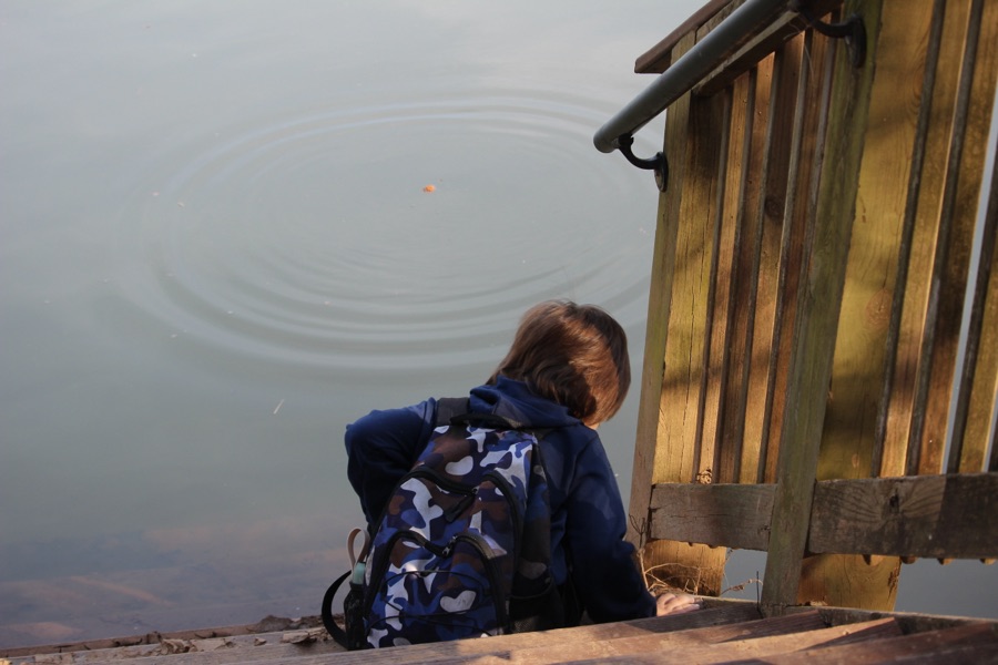
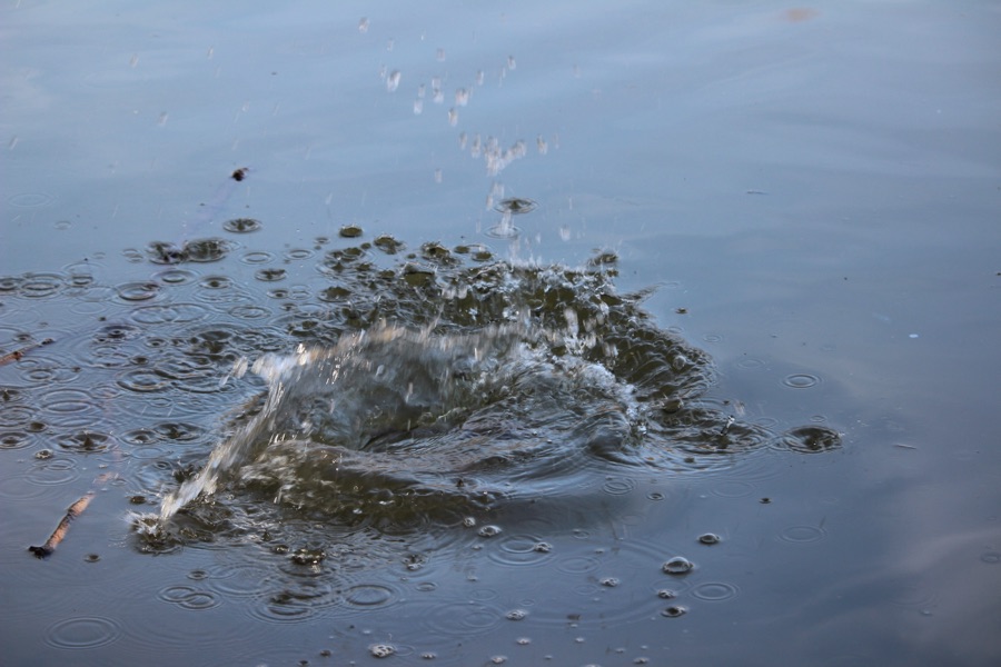
Coleman and I hiked to the Historic Baltimore Fishing Pier on Christmas Day. Whenever we a near a lake or river, Coleman likes to throw sticks, rocks, or whatever he can find into the water. He likes seeing the ripple effect and even more so when he can get a big splash from whatever he throws into the water.
Here’s what I managed to capture from his efforts …
Camera: Canon EOS Rebel T3i with Canon EF-S55-250mm lens and Altura CPL filter attachment.
Location: Historic Baltimore Fishing Pier; Cramerton, North Carolina, USA
God Bless. Thank you for visiting and sharing your time and thoughts with us. Have a wonderful week and a Happy New Year. I appreciate y’all very much.
Camera: Canon EOS Rebel T3i with Canon EF-S55-250mm lens and Altura CPL filter attachment.
Location: Historic Baltimore Fishing Pier; Off Cramer MountainRoad; Cramerton, North Carolina, USA
God Bless. Happy New Year! Venture into Nature. Take a Hike/Walk. Enjoy Life. Thank you for visiting and sharing your time and thoughts with us. I appreciate y’all very much.
What makes me smile? My grandson, Coleman makes me smile. Spending time in any one of our Warm Places makes me smile. Spending time out in nature, especially with Coleman, makes me smile and feeling all warm inside. Coleman loves to spend time by the Catawba River. There are several different areas by the Catawba River we enjoy spending time at. This week we enjoyed spending time on a warm sunny afternoon at Riverside Park and Greenway. It makes me smile when I am able to watch Coleman having a Funtastic time playing by the Catawba River. On this day he was having a fabulous time playing in the sand along the banks of the South Fork Catawba River at Riverside Park and Greenway.
Here are a spattering of photos depicting some of what makes me Smile and Warm Inside in one of our Warm places.
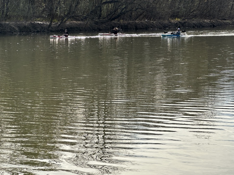
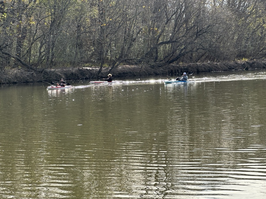
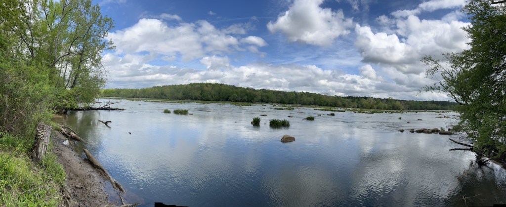
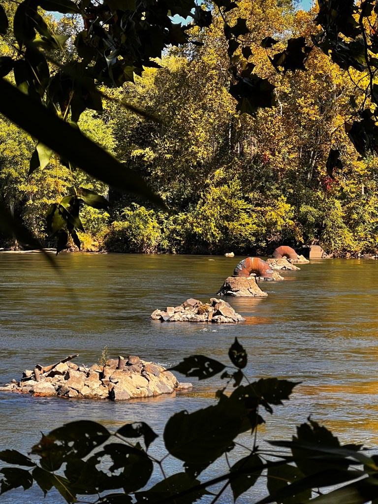
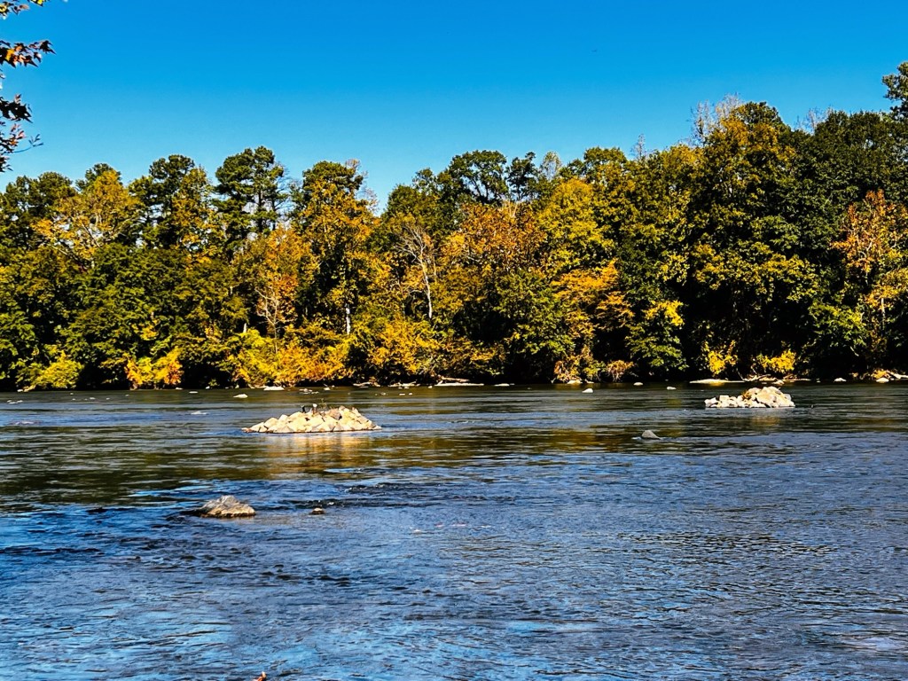
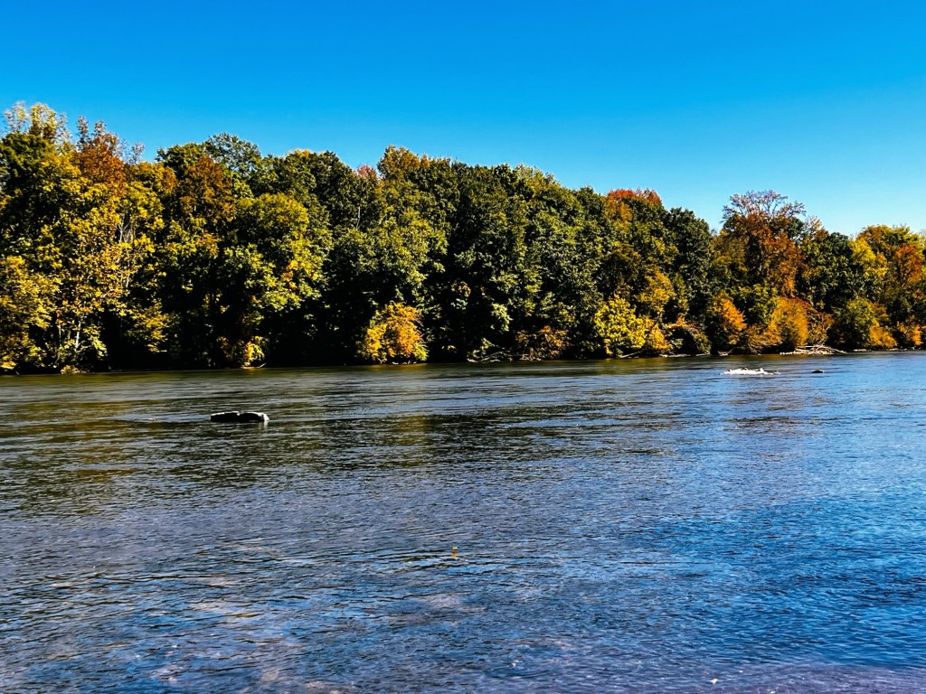
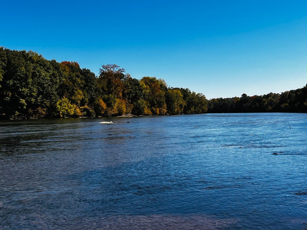
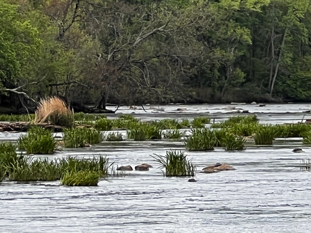
Capturing kayakers enjoying an afternoon on the South Fork Catawba River as seen from the banks at Riverside Park and Greenway in Cramerton, North Carolina. Care to Pull Up a Seat and join the fun on the South Fork Catawba River?
Location: South Fork Catawba River; Riverside Park and Greenway; Cramerton, North Carolina, USA
God Bless. Thank you for visiting. Have a wonderful week and enjoy nature. Thank you for sharing your time and thoughts with me. I appreciate y’all very much.
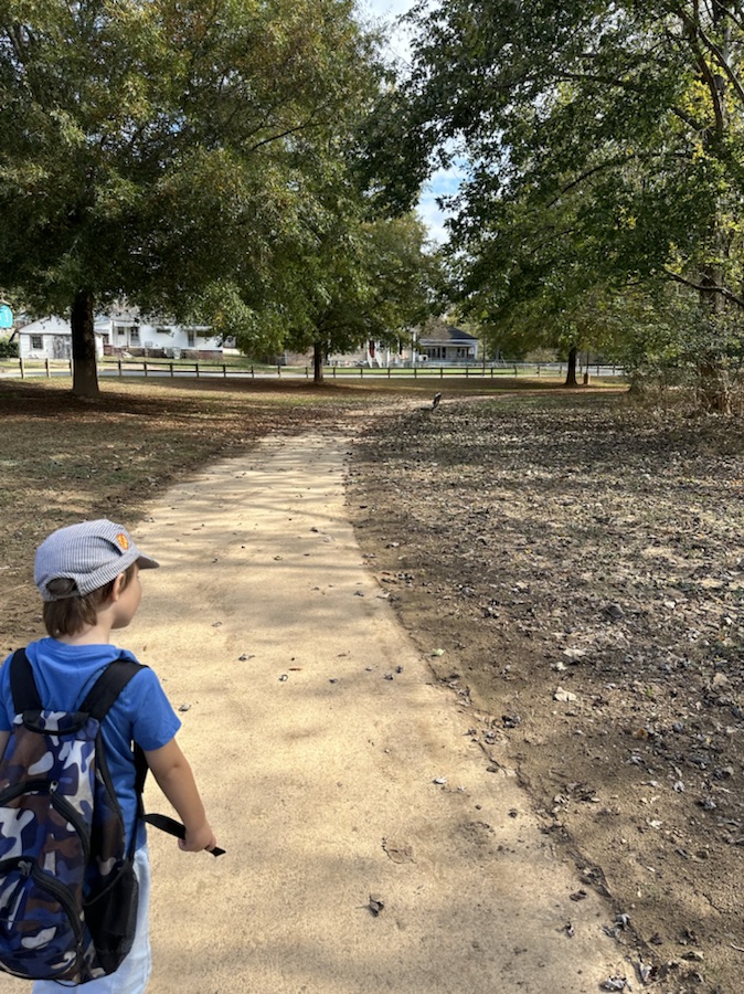
Since we moved to Cramerton at the end of October; Coleman’s new favourite place to go visit is the Goat Island Park and Greenway. The following are a few shots from our latest visit on Saturday.
Location: Goat Island Park and Greenway; Cramerton, North Carolina, USA
God Bless. Enjoy the Outdoors. Take a Hike. Relax in a Park. Thank you for visiting and sharing your time and thoughts with us. I appreciate y’all very much.
I’ve missed Cee so much and know this is a difficult time for her and Chris. Praying for strength and comfort for them both. I’ve been trying to keep up with the Which Way Challenge even though Cee is unable to do so. I encourage everyone who wishes to show Cee our Which Ways. Just post any Which Way you desire and link up to Cee’s Which Way Challenge.
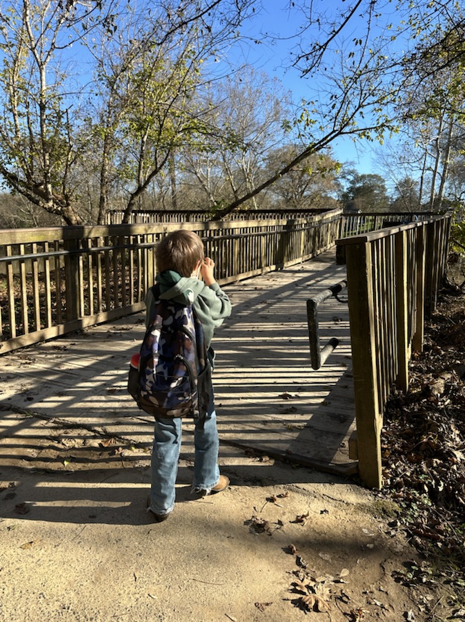
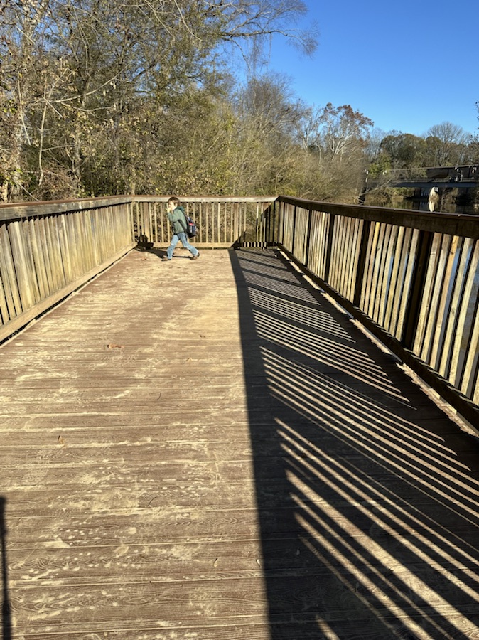
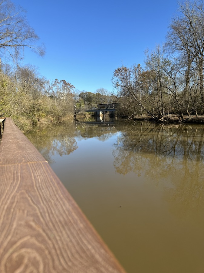
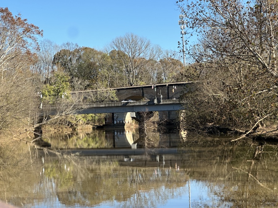
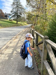
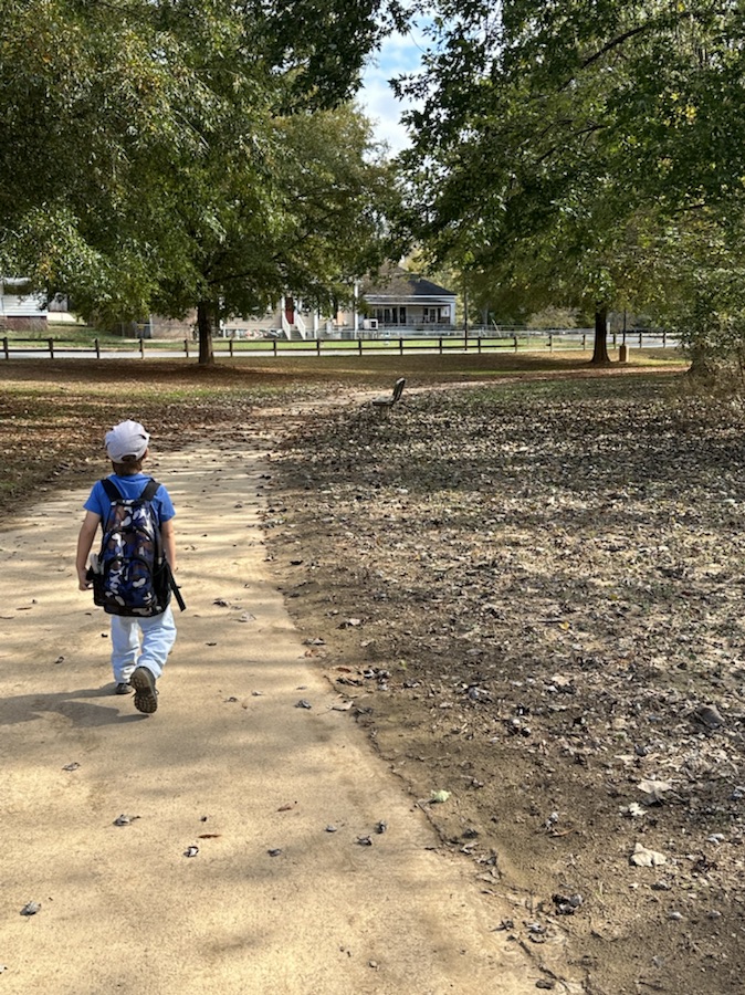
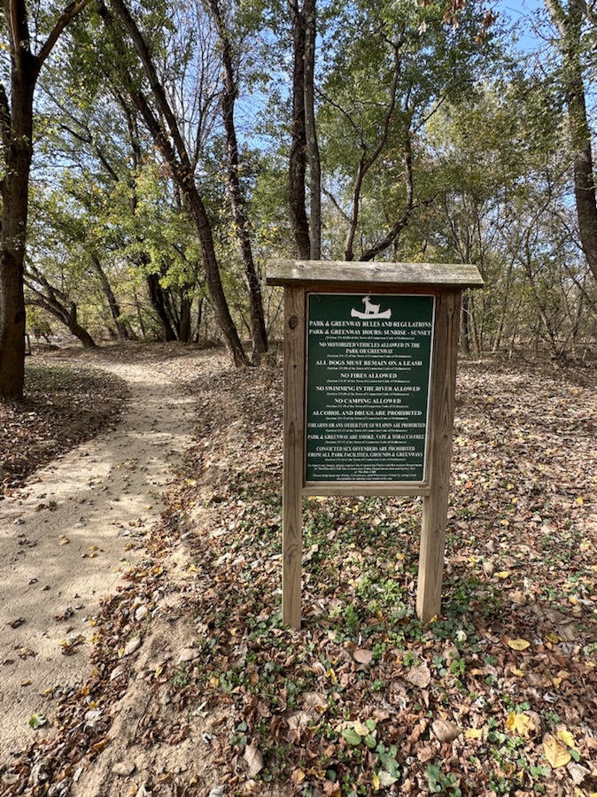
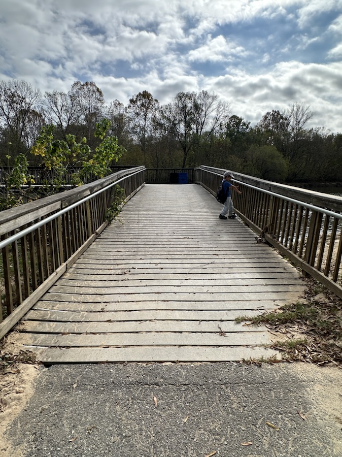
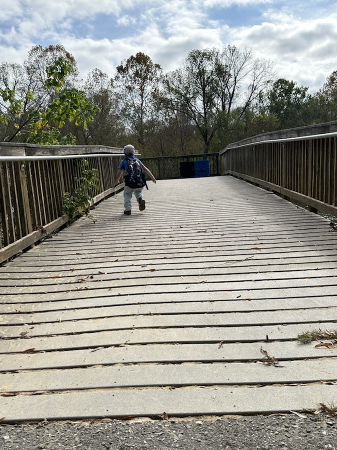
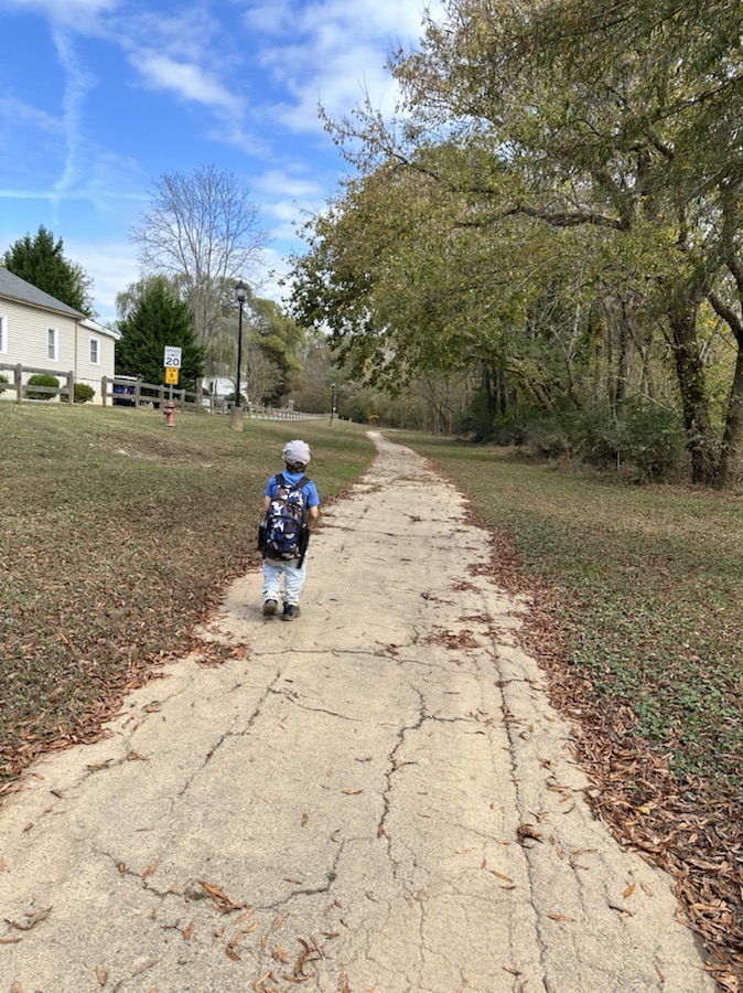
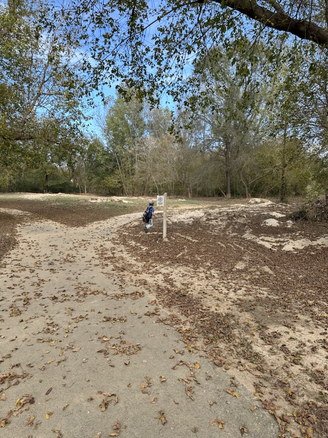
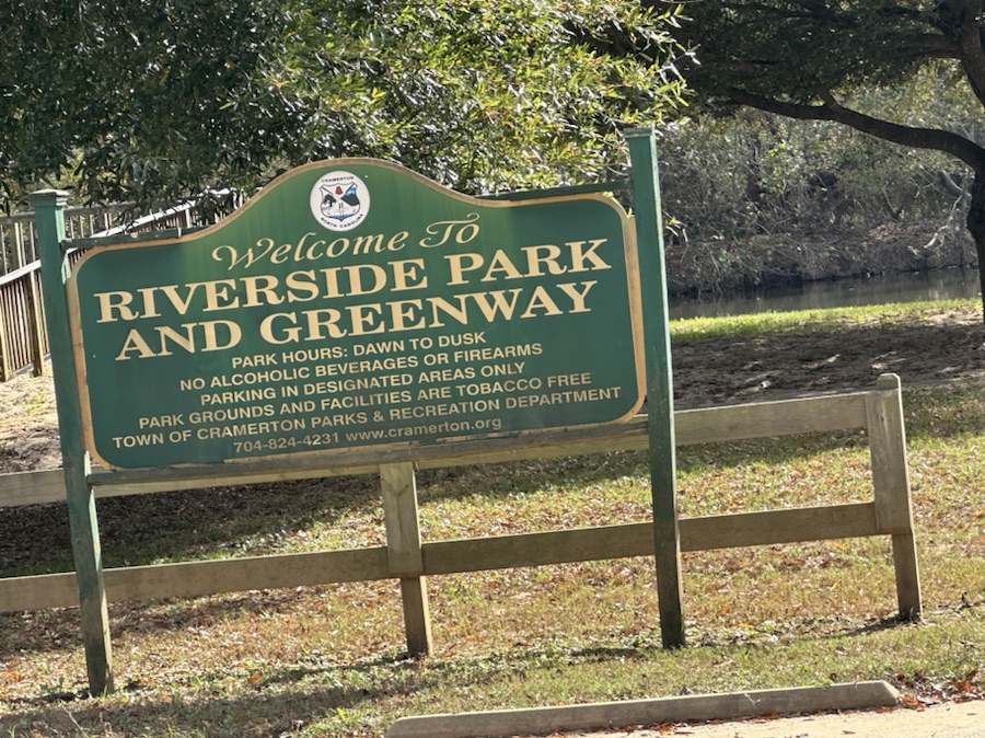
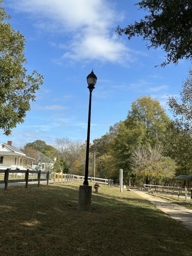
This week I am again posting a Which Way My Wayshowing Which Ways Coleman and I discovered in Riverside Park and Greenway. My grandson, Coleman and I are beginning to roam around our new neighborhood and town investigating what interesting things and places we can find in the area. Riverside Park and Greenway is just a short walking distance away from our new home. Here are a few shots from our walk through Riverside Park and Greenway.
Coleman and I left our home and turned right out of the driveway; walked to the end of our street (which is curved downhill) and then proceeded to walk across the street onto the Carolina Thread Trail.
On the way to Riverside Greenway
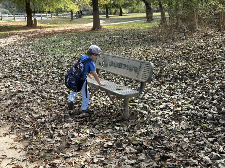
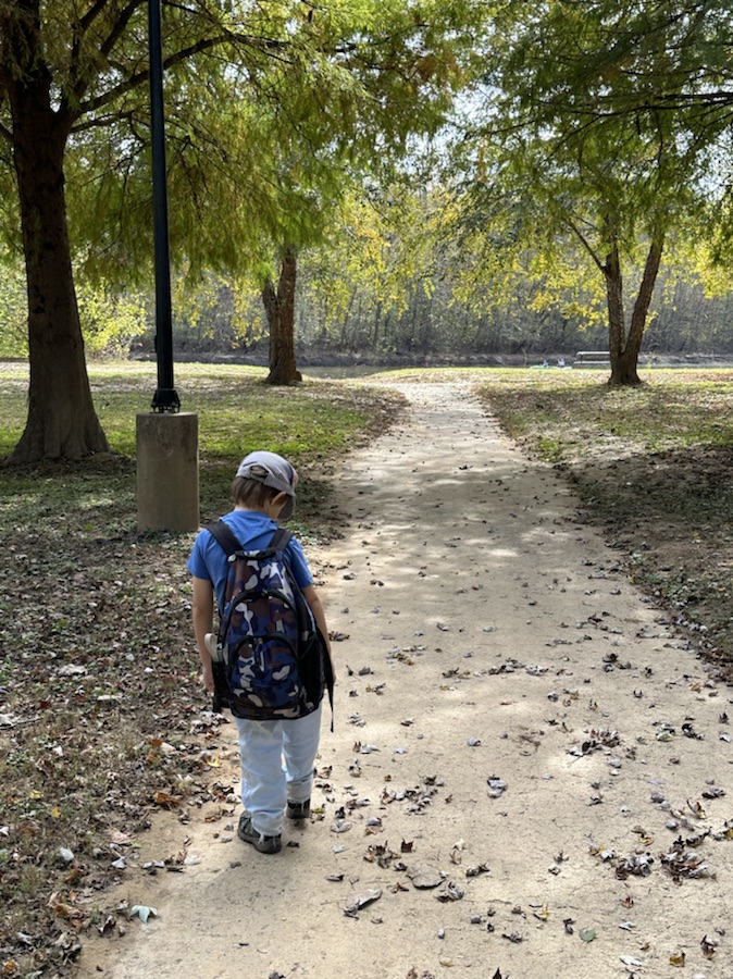
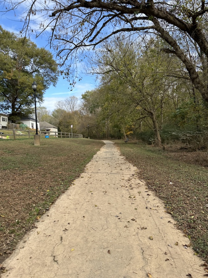
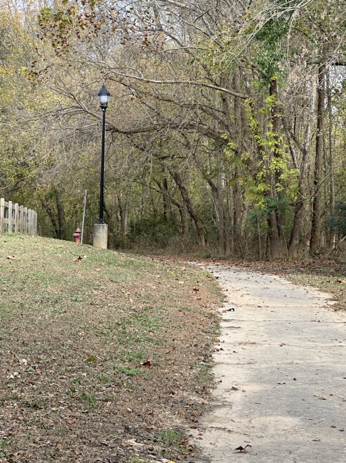
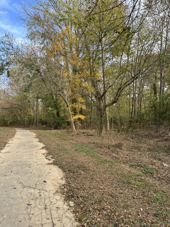
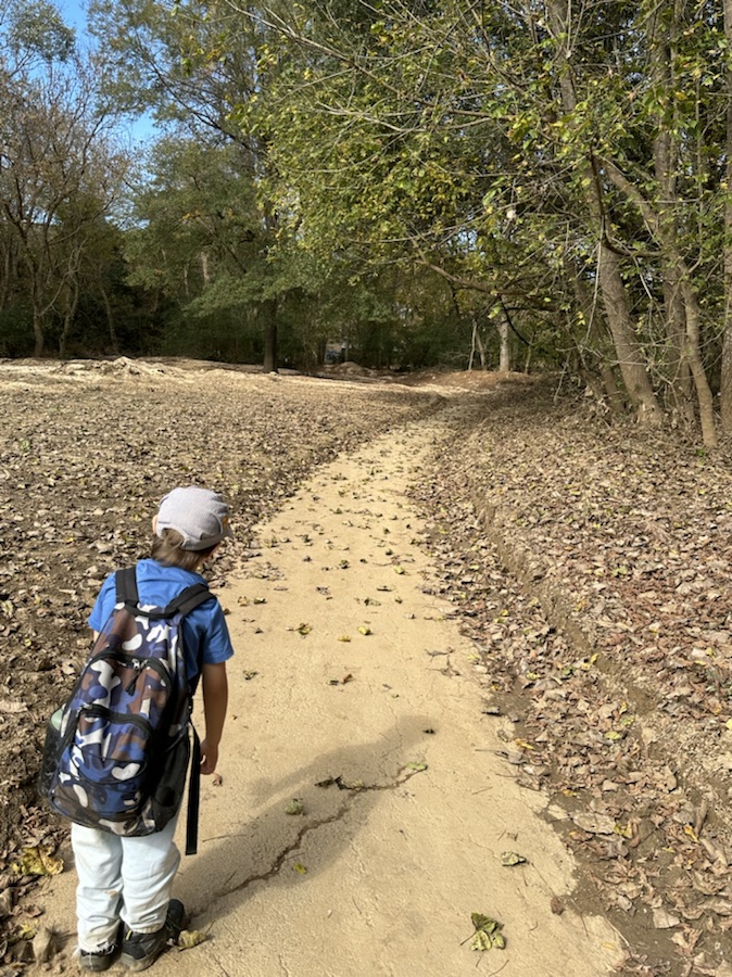
The Carolina Thread Trail leads into the Riverside Greenway Trail. We walked the entire length of the Riverside Greenway Trail and even a little bit of off trail hiking. During parts of the hike we were walking parallel to the South Fork Catawba River.
It was a fun enjoyable relaxing day out discovering a (new to us) local trail. Hope y’all have a wonderfully funtastic weekend.
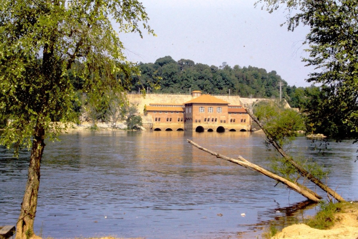
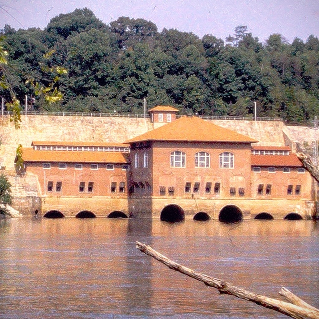
The Fishing Creek Hydro Station, ( I grew up knowing it as the Great Falls Hydro Station/Dam), is located on the Catawba River in Great Falls, Chester County, South Carolina. It borders Lancaster County, South Carolina. It was built in 1916 by the Southern Power Company, predecessor to the station’s current owner, Duke Power.
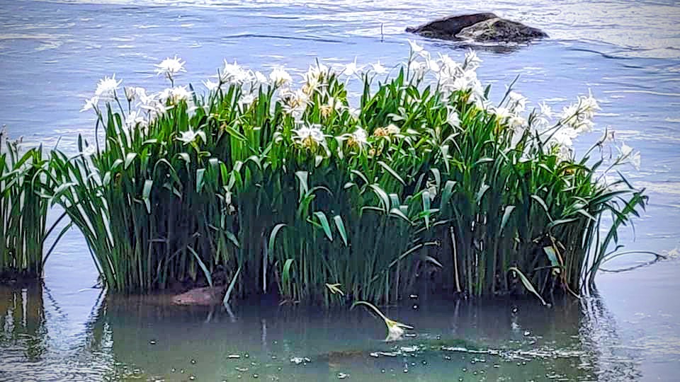
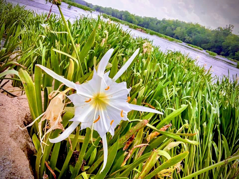
Just like the name suggests, the creek is a popular area for fishing 🎣 and recreation. Fishing Creek Lake – created by the dam – has four access point along the 61 miles of shoreline, including Landsford Canal State Park. [Of a side interest, the Catawba River at Landsford Canal State Park is an excellent area for seeing the Spider Lilies each Spring.]
Hydropower provides about one percent of Duke Energy’s U.S. energy production, but the company’s more than 30 stations are able to activate quickly to meet customer demand during extreme temperatures. In addition to reliable power, communities near lakes created by Duke Energy’s stations are able to enjoy fishing, swimming, kayaking, and even photography.
I was just thinking about the many times Coleman and I have enjoyed hiking together along the Catawba River when the RDP (Ragtag Daily Prompt) appeared showing the today’s prompt to be River. Our minds seem to be in sync on thinking about River.
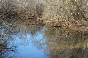
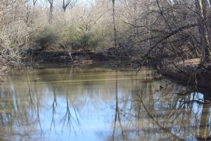
We’ve had a tremendous amount of rainfall recently and so I’ve been remembering beautiful sunny days spent with Coleman at the Catawba River. I’ve had photos of the Catawba River come across in my Google photos app as memories.
These are some of the memory photos that I’ve enjoyed looking over this week.
The best time of the year to photograph water lilies or spider lilies in the Carolinas is mid-May through early June. That is when they are at their peak and estimated in 100% full peak of magnificence. These Rocky Shoals Spider Lilies were shot at Landsford Canal State Park. The Landsford Canal State Park is the home of the world’s largest population of Rocky Shoals Lilies. They bloom annually on the shoals along the Catawba River. You can get a closer look at the Spider Lilies if you access the river via a canoe or kayak. There is a 1.5-mile roundtrip Canal Trail you can hike which will take you to an overlook where you can get a panoramic view of the botanical white wonder of the Rocky Shoals Spider Lilies. Landsford Canal State Park is located in Catawba, Chester County, South Carolina.
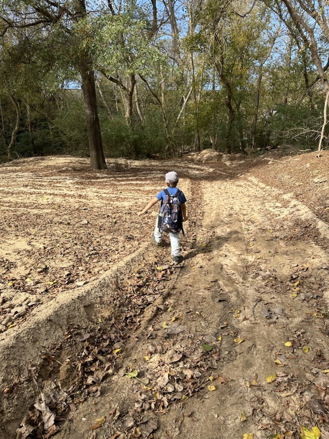
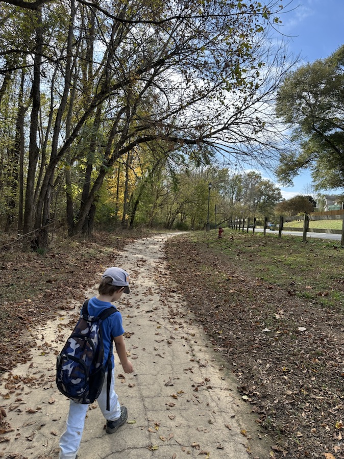
For our Wednesday Wanderings, Coleman and I visited a different local trail we had never hiked before. I had heard about the trail, and it really wasn’t that far away from us. I decided that we should change up our routine and hike something different, see what other trails existed in our area. With the yearning to change things up a bit, I drove us to the Catawba Indian Nation Greenway Trail.
The Catawba Inian Nation Greenway Trail is located in Rock Hill, South Carolina. The trail is a natural surface trail which runs along the Catawba River through the Catawba Indian Nation Reservation. The trail is open to the public to enjoy and learn about the area’s Native American Tribe. The Catawba Indian Nation is the only federally recognized tribe in South Carolina.
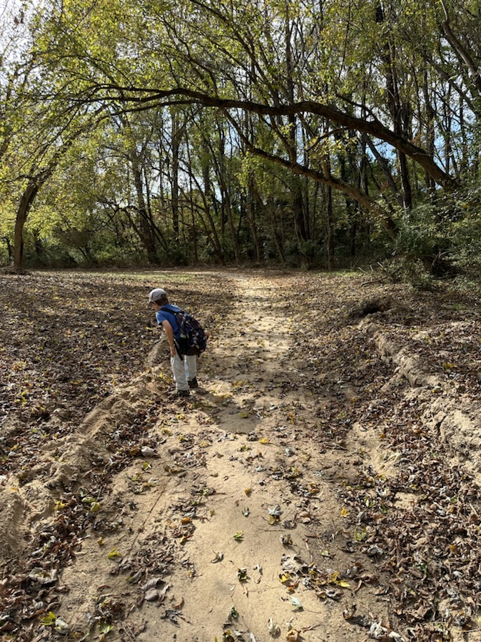
The Catawba Indian Nation Greenway Trail is a part of the Carolina Thread Trail. There are three trails on this reservation that connect to each other. One trail begins behind the Cultural Center called the Cultural Center Trail or the Yehasuri Trail. The Loop Trail leads towards the Government Center before the Greenway Trail ends. The third trail is the Catawba Indian Nation Greenway Trail. This third trail is the one Coleman and I hiked. It begins at the Government Center. The trail has benches located in various areas along it for a chance to rest a bit or to just sit, relax, and enjoy the views of the Catawba River. Parts of the trail are packed with gravel; other parts are a natural surface. When we hiked the trail, the natural surface portions were muddy after the previous days rain. One had to be careful not to slip and fall in the mud.
The Yehasuri Trail hosts interpretive signage about the importance of the land to the tribe’s cultural as well as Catawba dwelling, a bark house, dugout trees, story circle and active archeological dig. The Catawba Indian Nation Trail is 1.6 miles in length. This trail follows alongside the Catawba River. There are plenty of spots along the trail to not just view the river, but as my grandson loves to do, get in the river and play around. The Loop Trail is 0.3 miles long. If you begin at the Government Center, you hiked down a long green grassy meadow for approximately 0.6 miles bringing you down to the river and the Catawba Indian Nation Greenway Trail.
While hiking the trail we came upon an area containing a balance beam of sorts, bars to lift up on or in the case of my grandson, Coleman, swing on. A little further down the trail Coleman spotted a slide. I’m not sure the slide was actually on the trail or on private property. I wasn’t actually sure. After I allowed Coleman to have fun sliding down the slide and left the area, that’s when I thought it might have been on private property adjoining the trail.
The entire length on the trail is 2.5-miles one way. We did not quite hike the full 2,5 miles. We turned around shortly after hiking 2 miles one way and hiked back up to the Government Center and to the car. Whenever you hike make sure you bring plenty of water to drink, a hat to shade the sun, sunscreen on hot sunny days to protect your skin from burning, and possibly a scarf or rag to wipe the sweat off your face on hot and humid days.
My Grandson, Coleman
God Bless. Take Care and stay safe. Get Out in Nature and Enjoy God’s Creation. Thank You for visiting. Looking forward to your next visit. I appreciate y’all.
Yesterday, Sunday, 05 June 2022 we decided to try a different trail that I was told about on Saturday whil I was participating in the National Trails Day1,000 Mile Challenge. The information was given to me by Debbie Zinsky Kiggans, the leader of the Anne Springs Close Greenway Hiking Club. She informed me about the Masons Ben Trail located in the Fort Mill area of South Carolina.
Following directions, we found the parking area to the Founders Trailhead, however, we did not locate the Masons Bend Trail. Afterwards, I looked at the trail map and it appears we did not hike far enough to venture off onto the Masons Bend Trail which appears to be a jaunt off of the Founders Trail.
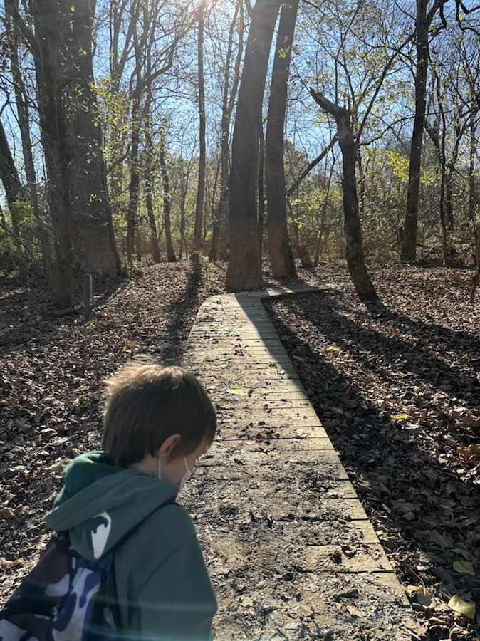
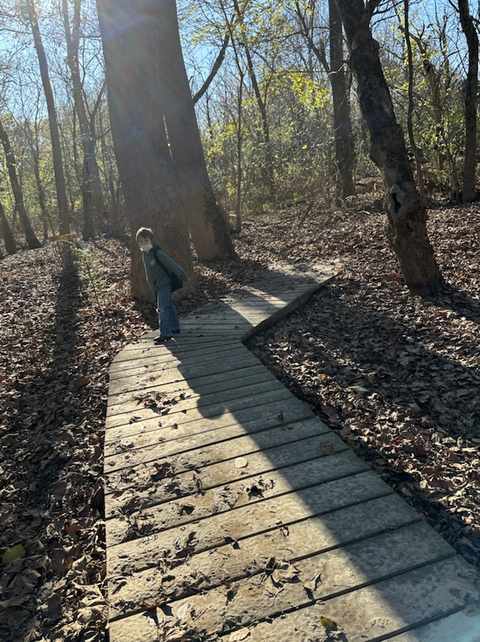
Founders Trail with my hiking buddy, Coleman
The Founders Trail is a 2.3-mile mostly natural surface trail provides connectivity between the Piedmont Medical Center Trail, (AKA Riverwalk), and the Masons Bend Trail. It follows a beautiful stretch of the free flowing Catawba River.
Coleman taking a quick break, on a bench provided by Founders
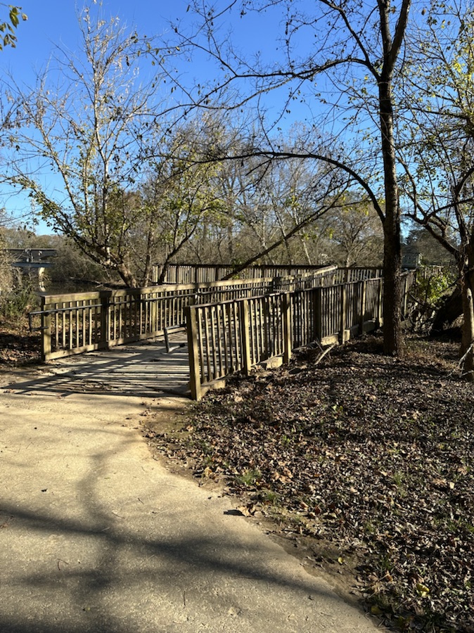
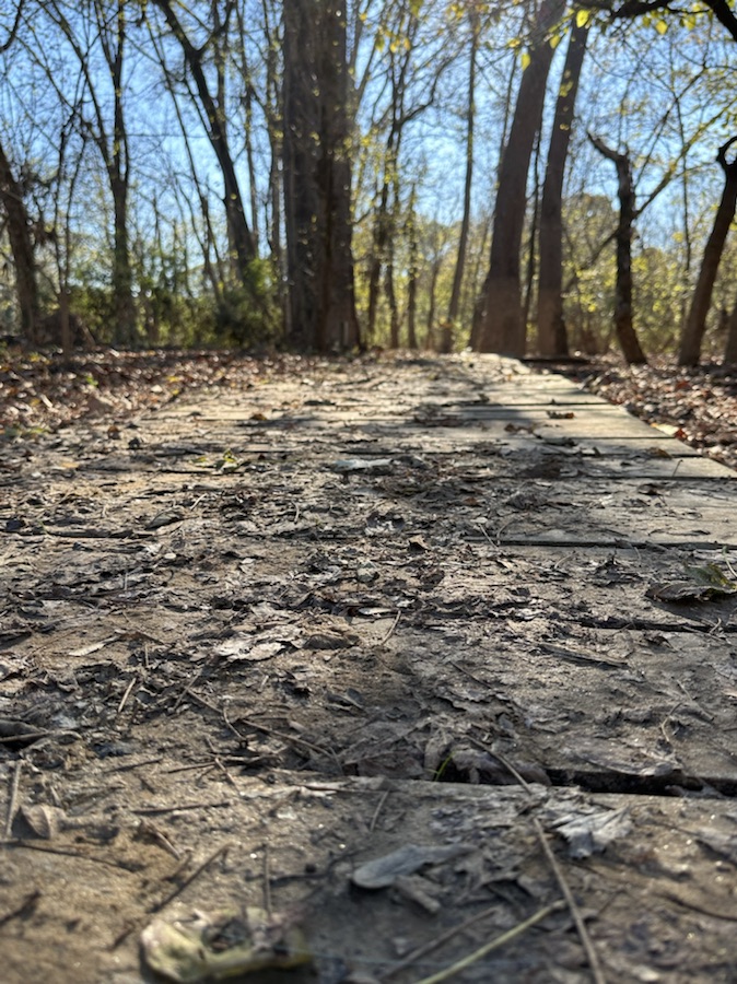
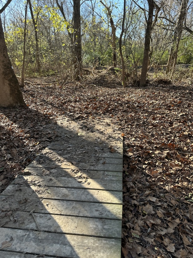
From the North, users can utilize the trail parking at the end of Weir Court in the Masons Bend Neighborhood development. When you follow the trail southward, the trail runs along the River and provides a series of bridges and boardwalks. In various locations along the trail are strategically placed benches which allow hikers and other visitors to take a break and view the river. There is an overlook at the north end of the trail affording opportunities to be inspired by the marvelous views of the Catawba River. [We evidently did not go far enough along the trail, since we did not encounter the overlook.] The overlook area is stated to be around 1.9 miles into the trail. [We went 1.7 miles today before turning around to meet my daughter who just arrived at the trailhead.]
Views of the Catawba River
If one chooses to head north on the Founders Trail, it will connect directly into the Masons Bend Trail allowing the user to travel an additional one and a quarter mile along the river.
Views of the Catawba River from Founders Trail
If one chooses to begin at the south end, trail users can utilize the trailhead of the Piedmont Medical Center Trail. Follow the trail north on Route 21. from there, the Founders Trail begins as a sidewalk along the Route 21 Bridge over the Catawba River. The sidewalk section runs for approximately 2000′ and transitions by making a “U-turn” to the right just after the guardrails and follows the old road back and travels underneath the Route 21 Bridge.
Views from the Founders Trail Pump House and stairs are across the river from our location
The Founders Trail consists of Natural surface, Gravel/stone, Boardwalk, Sidewalk, and Pavement. [ we never encountered the sidewalk or pavement on this hike.] The Trail is located both in the Rock Hill and the Fort Mill areas of South Carolina. The difficulty level of the Trail is designated as easy. [It was fairly easy for my two-year-old grandson.] Dogs are permitted on the trail with a 3-foot leash. If you choose to bring your dog, be sure to pick up after them. Remember to Leave No Trace, what you pack in, Pack out with you.
The Founders Trailhead has no restroom facilities, so it would be wise to plan ahead. The Trail is open from Dawn to Dusk. Parking is limited, only 15 spots available. [Parking was not crowded, and neither was the trail. So, if you which to practice social distancing that is not a problem along this trail.
Trail Map
I encourage you to find a local trail and get outdoors and enjoy nature. God bless. Thank you for visiting. Till next time, Remember I appreciate y’all.
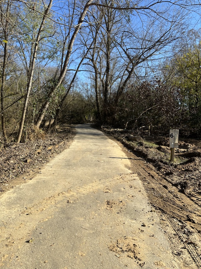
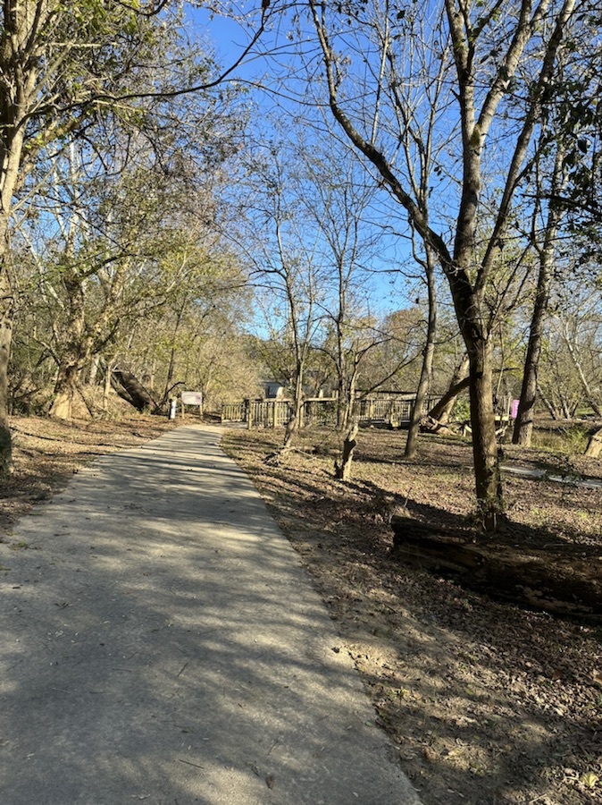
The Riverwalk Greenway Trail is located in Rock Hill, South Carolina. It is 2.25 miles of easy walking exercise. As you walk along the paved asphalt trail you can observe fabulous views of the Catawba River.
Riverwalk Trestle
The Riverwalk Trail has been recently renamed the Piedmont Medical Center Trail. The asphalt pathway is approximately 10-foot wide. It is located just minutes away from I-77. This trail is key segment of the Carolina Thread Trail. The Carolina Thread Trail is a regional network of trails and greenways spanning 15 counties across North and South Carolina.
Along the trail you’ll encounter various historical landmarks informing you of some of the local history that is contained within the pathway of the trail. They mention the Nation Ford trestle, the usage during the Civil War, the usage by the Catawba and Cherokee Indians, and was even crossed by President Jefferson Davis in 1865.
Coleman resting a bit before continuing along the trail.
Mile markers are placed at intervals along the pathway to help you keep track of how far you have walked, hiked, ran, or cycled. You have to remember that regardless of which trailhead you park at, it is 2.25 miles up and back. If you need a short break to catch your breath along the way you’ll encounter several metal benches, sitting areas made from tree trunks, and also a few swings. My grandson really enjoyed taking breaks anytime he came upon one of the swings.
Coleman enjoying himself along the trail
The trail is accessible to anyone on foot, wheelchair, skateboard, or bicycle of any age and ability. Dogs are welcome to tag along, but must be on a 3-foot leash. And remember you must pick up after your dog. Leave no trace.
Located along the route are short dirt paths that you can venture on to enable you to have better views of the Catawba River. If you so choose from the north trailhead, you can launch a kayak, a tube, or raft and enjoy a leisurely trip down river.
Coleman at mile marker .75Catawba RiverPiedmont Medical Center Trail – Mountain Bike Trail System Kayaking on the Catawba River
Please note that the trail is located in a floodplain and during inclement weather you should use caution and avoid the trail during those times. All cyclists should observe the 10 mile per hour speed limit.
Views Of the Catawba RiverFun at the Catawba RiverRiverwalk stairs Coleman Climbing along the Piedmont Medical Center Trail
My grandson and I spent a couple hours leisurely walking along the trail and enjoying the fabulous views of the Catawba River. We went on Friday (1st day of a holiday weekend), and lots of people were out and about. The watering hole was crowded so he couldn’t get in the water, maybe he’ll be able to on another visit. We plan on going back on Wednesday. I’ve been informed that not so many people go there during the middle of the week. If you desire to avoid crowds, I’d suggest coming here on a weekday and avoiding the weekends.
Our adventure via Relive.com
God Bless. Enjoy nature. Get outdoors. Walk. Bike. Hike. Thank you! I appreciate y’all.