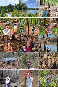
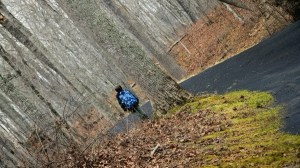
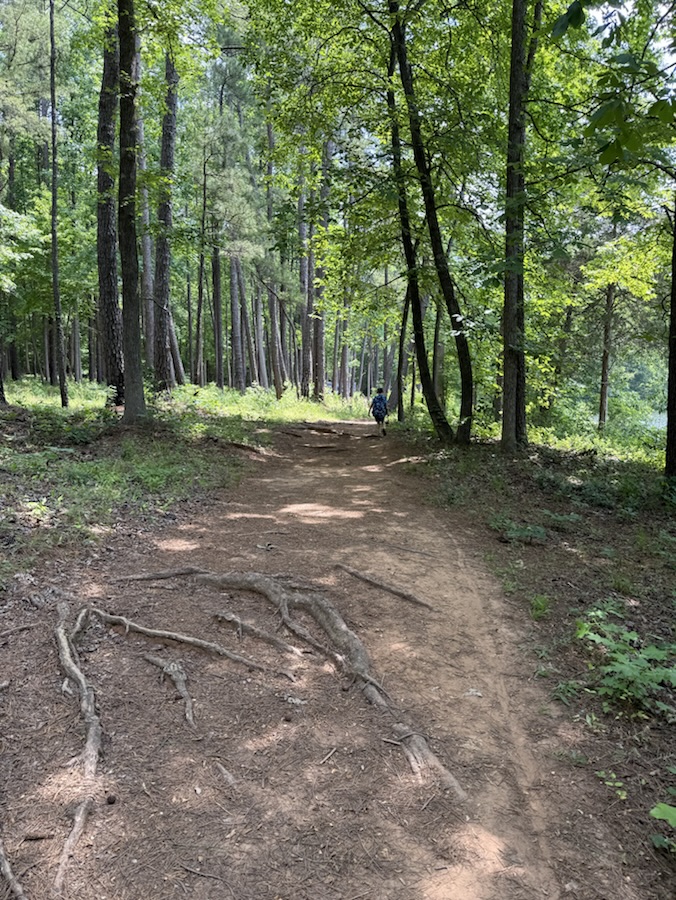
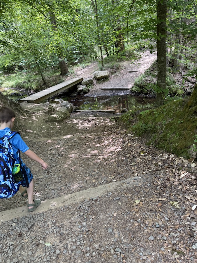
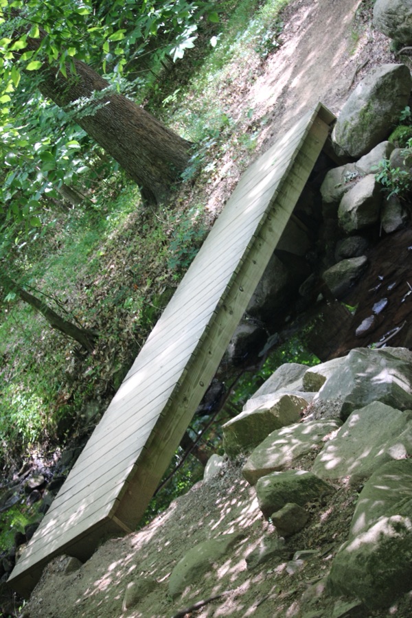
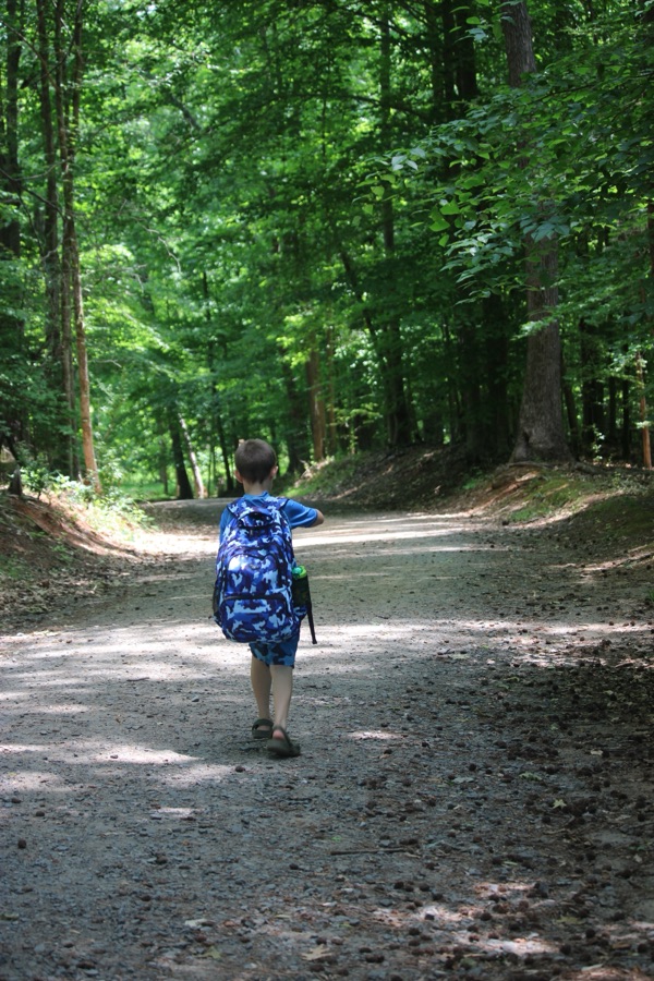
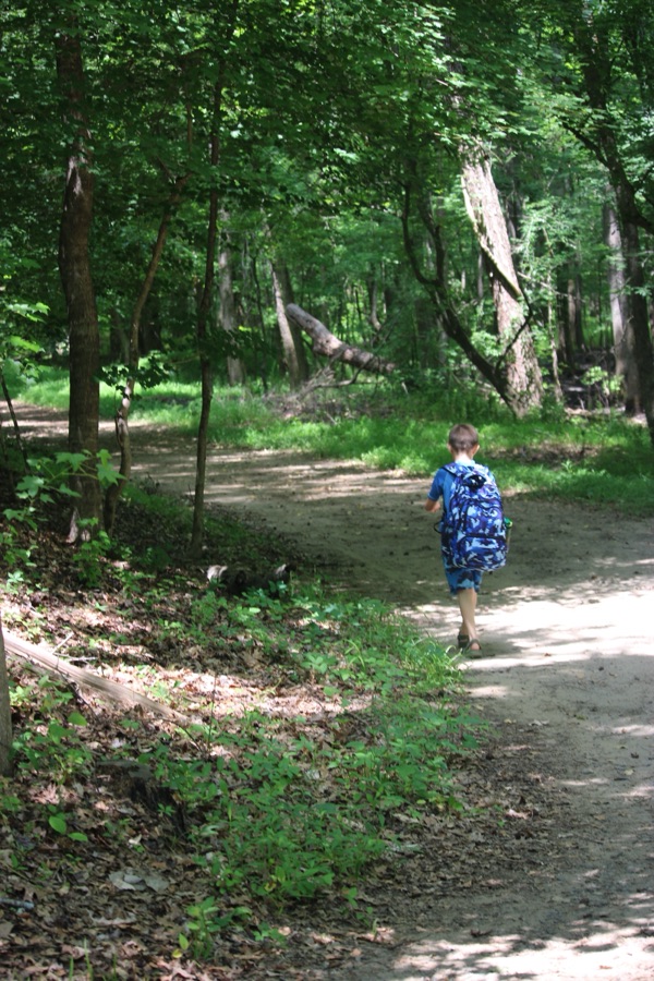
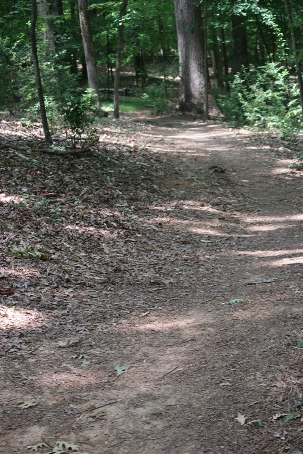
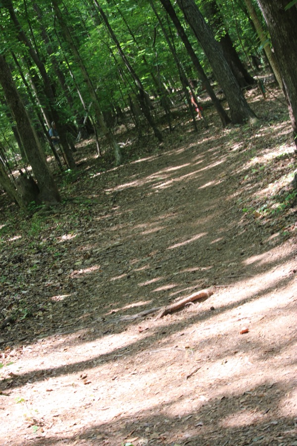
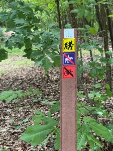
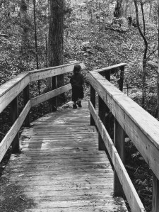
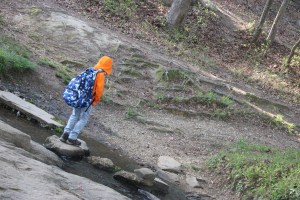
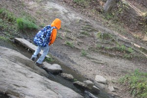
Welcome back to another Which Way Challenge (CWWC). I trust everyone has had a good week and able to spend some time to take a walk or hike in the vast outdoors. This week’s theme for the Which Way Challenge is CWWC: Any Which Way Along a Nature Trail (Paved, Unpaved, or Natural surface). The Which Way can be any trail found in nature as long as the Which Way is clearly discernible. As always signs are always welcome.
For further information regarding the Which Way Challenge (CWWC) feel free to check out the home page here.
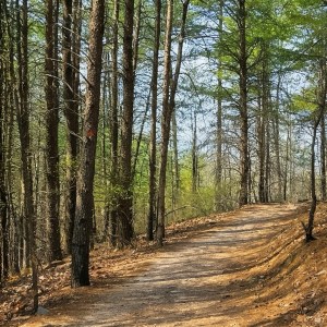
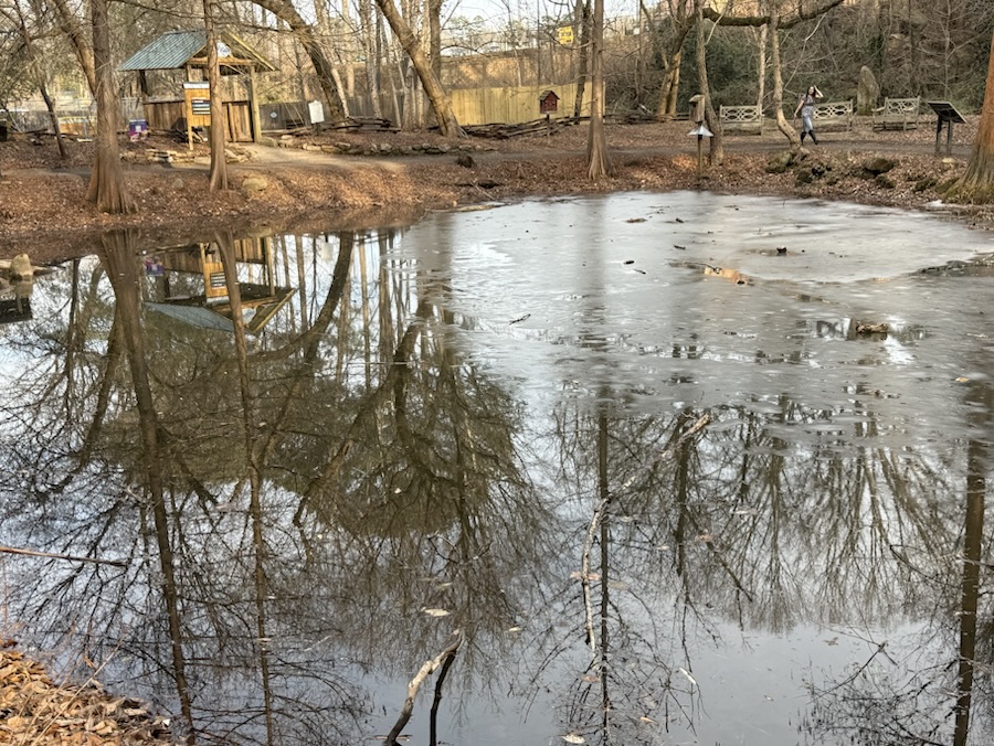
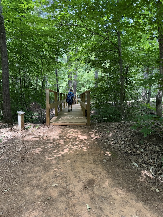
A Nature Trail can be found in Greenways, state or national parks, and even in some city parks. They can be paved or unpaved natural surfaces or even graveled. Wherever you find to walk or hike amongst nature are fantastic places to show your Which Ways this week. Coleman and I love getting outdoors hiking in nature amongst the trees, rivers, and lakes.
Here is our latest adventure hiking along Nature Trails …
Click on each image to enlarge.
Thank you to those who have participated and supported the Which Ways Challenge. I appreciate y’all sharing your Which Ways with us.
For an idea of other’s Which Ways from this past week’s challenge, be sure to click on the following links below.
God Bless. Get Outdoors. Take a Walk/Hike. Enjoy Nature’s Beauty. Thank you for visiting and sharing your time and thoughts with us. I appreciate y’all very much.
*** Note Next Week’s theme: CWWC: Any Which Way on an Interstate, Highway, or Paved Road [06.05.2026]
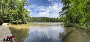
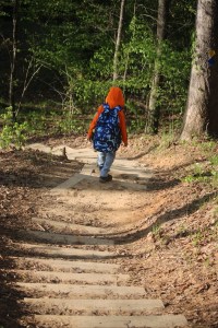
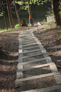
Welcome back to another Which Way Challenge (CWWC). I trust everyone has had a good week and able to spend some time to take a walk or hike in the vast outdoors. This week’s theme is CWWC: Any Which Way (Your Choice). The Which Way can be any path, sidewalk, trail, or road as long as the Which Way is clearly discernible. As always signs are always welcome.
For further information regarding the Which Way Challenge (CWWC) feel free to check out the home page here.
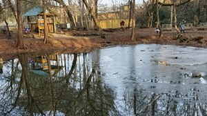
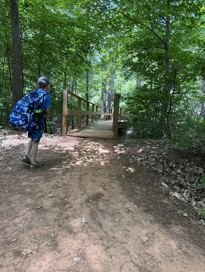
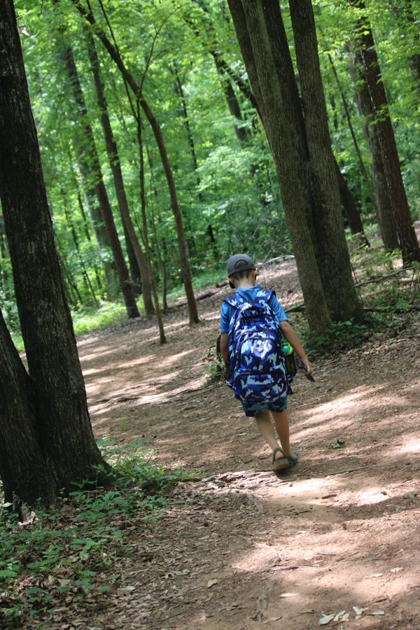
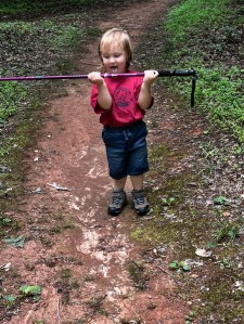
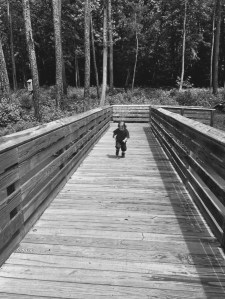
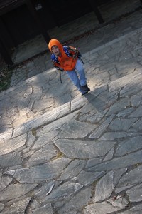
Coleman on a wooden path crossing Lake Haigler
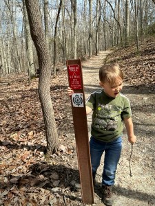
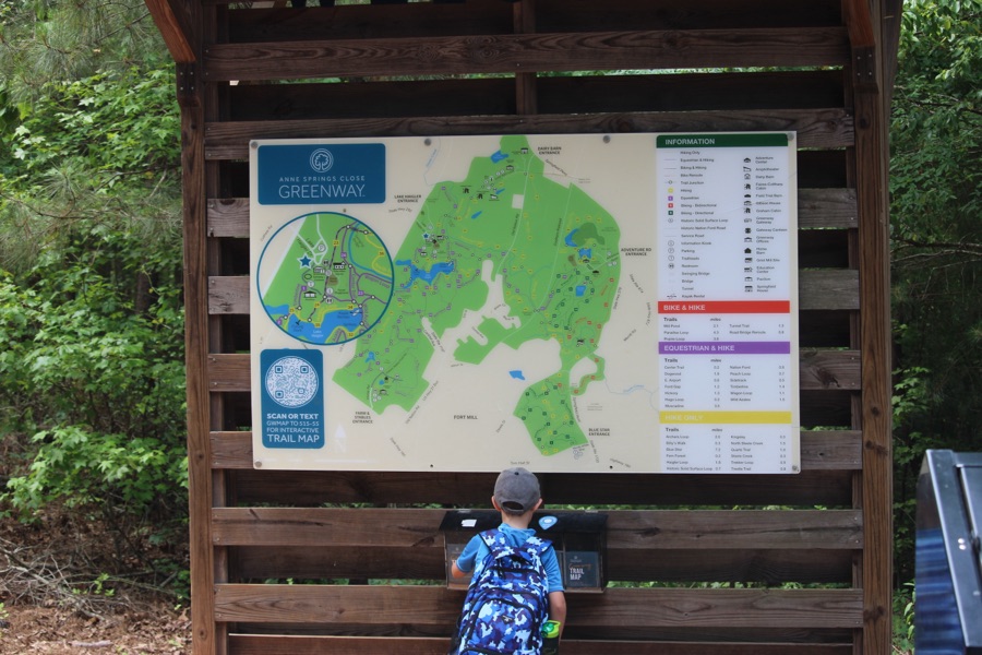
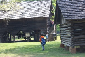
For this week’s Which Way Challenge I have chosen to share a Which Way Coleman and I hiked back in 2022 when he was three years old. The hike along Lake Haigler Loop Trail at Anne Springs Close Greenway came up in my photo memories, so I thought y’all might enjoy seeing it as well.
Here are my entries …
Cee’s Which Way Challenge (Your Choice) Coleman on Lake Haigler Loop Trail Anne Springs Close Greenway
Click on each image to enlarge.
Thank you to those who have participated and supported the Which Ways Challenge. I appreciate y’all sharing your Which Ways with us.
For an idea of other’s Which Ways from this past week’s challenge, be sure to click on the following links below.
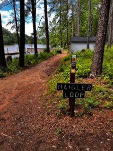
Location: Lake Haigler Loop Trail; Lake Haigler Entrance; Anne Springs Close Greenway; Fort Mill, South Carolina, USA
God Bless. Get Outdoors. Take a Walk/Hike. Enjoy Nature’s Beauty. Thank you for visiting and sharing your time and thoughts with us. I appreciate y’all very much.
*** Note: Next Week we will be exploring and sharing the theme of CWWC: Any Which Way with Signs [05.15.2026]. This will also tie in with Dan’s Fun Foto Challenge (CFFC) – Informational Signs. Feel free to link to his post as well next week. ***
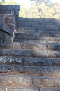
Welcome back to another Which Way Challenge (CWWC). I trust everyone has had a good week and able to spend some time to take a walk or hike in the vast outdoors. This week’s theme is CWWC: Any Which Way with Outdoor Steps or Stairs. The Which Way can be any path, sidewalk, trail, or road as long as the Which Way is clearly discernible. As always signs are always welcome.
For further information regarding the Which Way Challenge (CWWC) feel free to check out the home page here.
This week I am continuing to show aspects of mine and Coleman’s hike in Kings Mountain State Park, beginning with the Steps to the Bathhouse and continuing along the Lake Crawford Trail and beyond.
Here are my entries …
Steps to Lake Crawford Bathhouse Steps Bathhouse StepsSteps to Lake CrawfordSteps to Lake CrawfordStepping StonesStairsStepping Stones Steps to Lake CrawfordBathhouse StepsCWWC 2026 Any Which Way with Outdoor Steps or Stairs Kings Mountain State Park
Click on each image to enlarge.
Thank you to those who have participated and supported the Which Ways Challenge. I appreciate y’all sharing your Which Ways with us.
For an idea of other’s Which Ways from this past week’s challenge, be sure to click on the following links below.
Welcome back to another Which Way Challenge (CWWC). This week I have chosen for thetheme – Any Which Way with Spring or Autumn Which Ways (Will Run for Two (2) Weeks [03.27-04.03.2026]) for this week’s theme. The Which Way can be any Dirt trail, road, pathway, sidewalk as long as the Which Way is clearly discernible. As always signs are always welcome.
For further information regarding the Which Way Challenge (CWWC) feel free to check out the home page here.
Here are my entries …
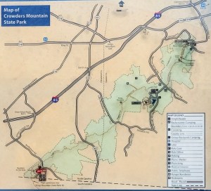
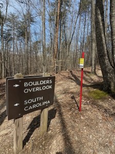
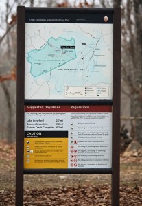
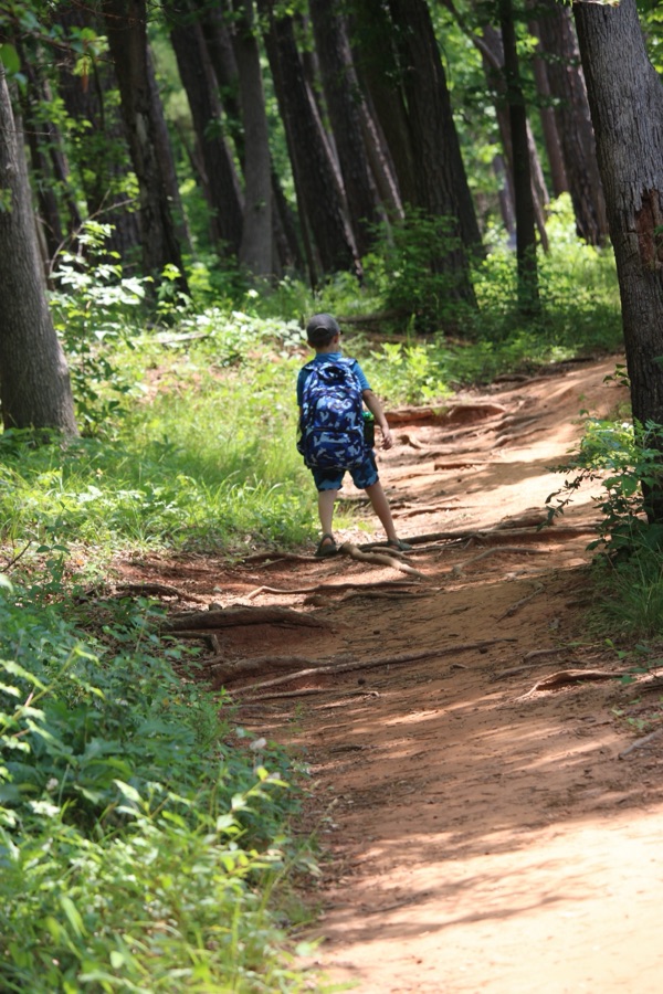
I’m starting off with a Springtime hike at Crowders Mountain State Park in Kings Mountain, North Carolina. We entered Crowders Mountain State Park from the Boulders Access Point. After parking and gathering our backpacks with our water and snacks we checkered out the trail map.
We decided to hike the Ridgeline Trail. The Ridgeline Trail connects three parks, namely Crowders Mountain State Park, Kings Mountain State Park, and Kings Mountain National Military Park. The total length of the trail if you hike to all three is 15.1 miles with an elevation gain of 2,411 feet. The Crowders Mountain State Park section of the Ridgeline Trail is 6.2 miles long.
Coleman and I only hiked the Crowders Mountain State Park section of the Ridgeline Trail and then hiked back to the Boulders Access Point parking area.
Ridgeline Trail Boulders Access Point Crowders Mountain State Park Kings Mountain, North Carolina
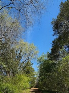
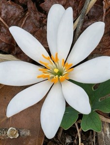
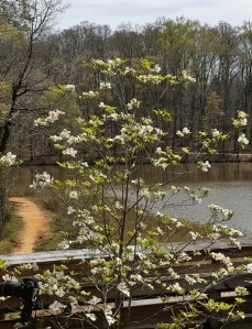
Now that we’ve seen one of our Springtime hikes, let’s take a look at a variety of Spring Florals seen while hiking on various hiking trails.
Spring Florals on Trails
Click on each image to enlarge.
Thank you to those who have participated and supported the Which Ways Challenge. I appreciate y’all sharing your Which Ways with us.
For an idea of other’s Which Ways from this past week’s challenge, be sure to click on the following links below.
God Bless. Enjoy a stroll in the vast outdoors. Have a funtastic weekend. Thank you for visiting and sharing your time and thoughts with us. I appreciate y’all very much.
Note: The theme for the next will be a continuation of CWWC: Any Which Way with Spring or Autumn Which Ways ( Will Run for Two (2)Weeks [03.27-04.03.2026]
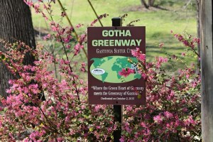
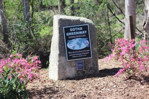
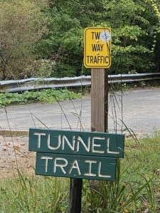
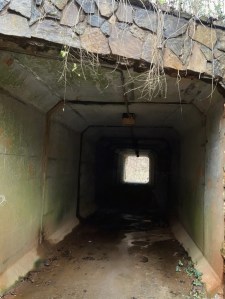
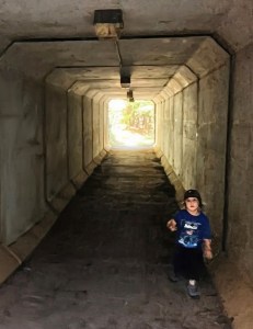
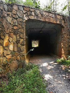
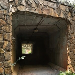
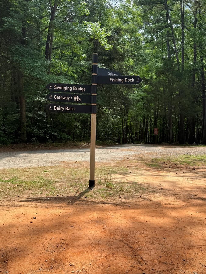
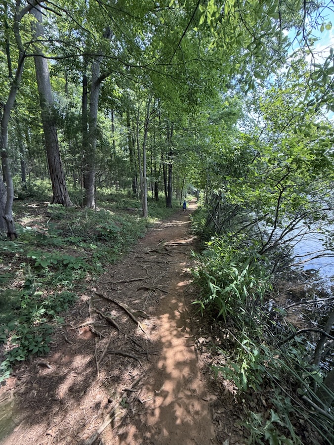
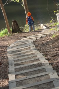
Location: Tunnel Trail; Anne Springs Close Greenway; Fort Mill, South Carolina, USA
God Bless. Enjoy the Great Outdoors. Take a walk/hike in nature. Thank you for visiting and sharing your time and thoughts with us. I appreciate y’all very much.
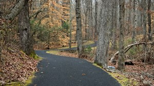
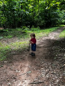
Welcome back to another Which Way Challenge (CWWC). This week I have chosen for the Which Way Challenge (CWWC) 2026: Any Which Way on a Nature Trail (Dirt or Paved) for this week’s theme. The Which Way can be any dirt or paved path, sidewalk, trail, or road as long as the Which Way is clearly discernible. As always signs are always welcome. For further information regarding the Which Way Challenge (CWWC) feel free to check out the home page here.
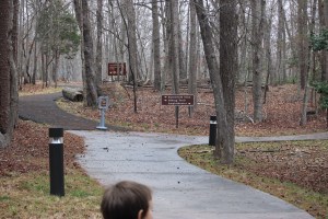
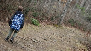
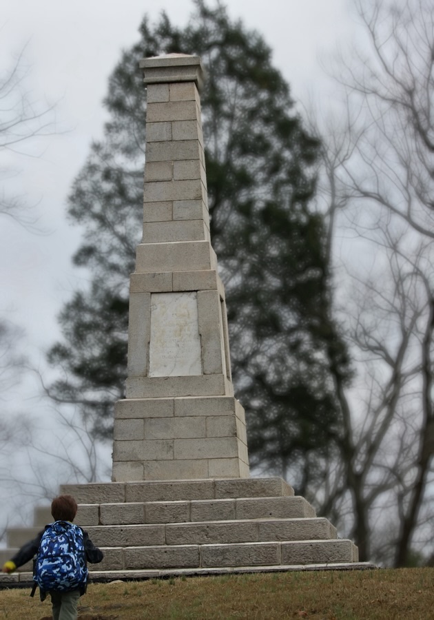
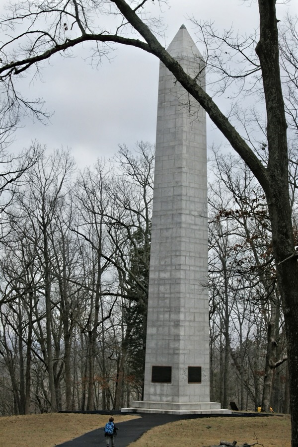
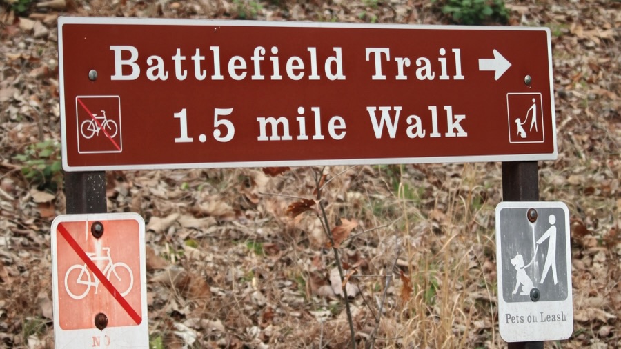
Coleman and I haven’t journeyed very far like some of y’all have, however, we do enjoy our adventurous journeys to Greenways, State Parks, and nearby National Parks. This past weekend we journeyed to Kings Mountain National Military Park for the sole purpose of hiking the Battlefield Trail.
The Battlefield Trail is a mere 1.5 miles long, but it seems a lot further when you’re hiking up hill on the trail, winding around the mountain, back and forth twisting this way and that way through the woods, hiking up and down continuously seems like you’re hiking forever.
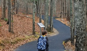
The Battlefield Trail contains several story boards telling about the impact the Revolutionary War had on the Kings Mountain area and the Carolinas. It has monuments in various locations along the trail which have significant historical relevance to the Revolutionary War and the Soldiers who fought against the British. It is a semi-paved trail in natural surroundings.
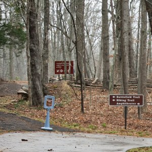
After arriving at Kings Mountain National Military Park, Coleman and I checked out the museum prior to hitting the trail for our adventurous journey. Once we left the Museum/Visitor Center, we had to decide which way we wanted to go to begin our hike.
Do we go to the left or right?
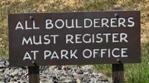
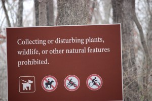
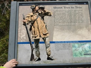
We read the sign which indicated which way the Battlefield Trail was located. Therefore, we followed the signs directions and began hiking to the left. We ran across various signs along the way … some that instructed us on what not to do, some that told about a specific area, and a few that informed about park regulations or gave us hiking suggestions.
Battlefield Trail
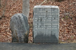
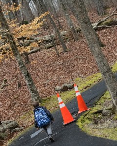
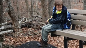
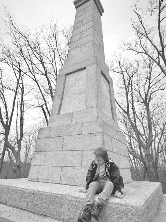
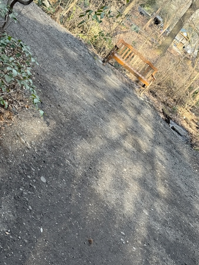
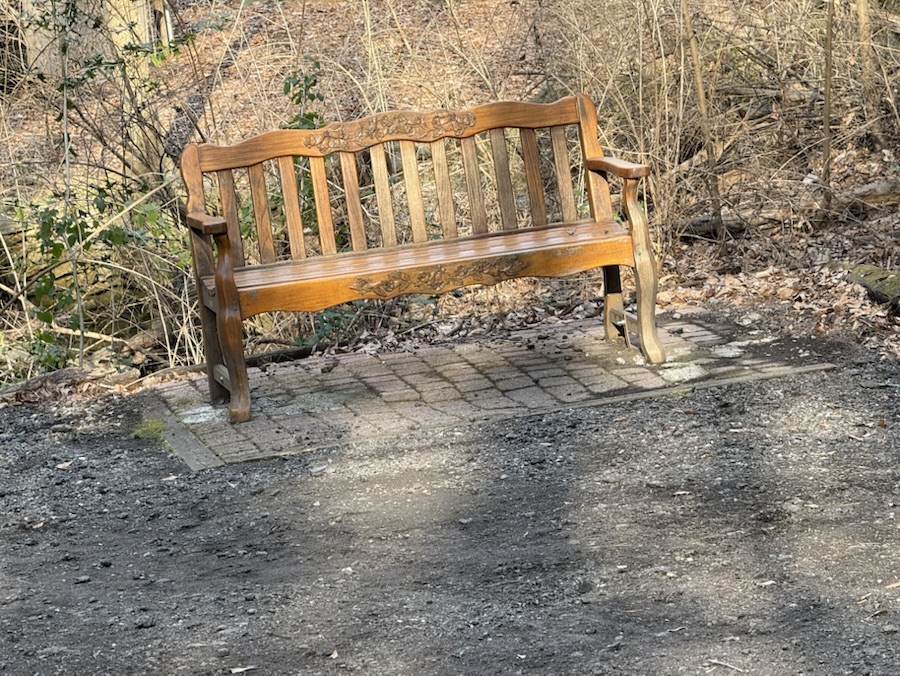
Hiking along we see stone monuments dedicated to fallen soldiers, orange cones alerting us to dangerous areas, and Coleman discovers interesting places to Pull Up a Seat.
Sacred to the memoryof … Coleman Pulls Up a Seat on a logShoot Tree to TreeColeman Pulls Up a Seat on a Bench One of many Story BoardsBattlefield Trail
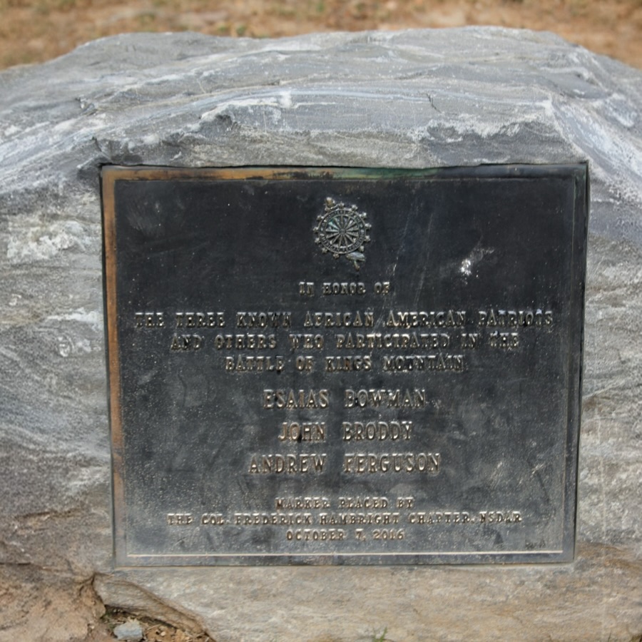
Hiking further up (and I mean uphill)along the trail we spot more monuments with information indicating their significance in history.
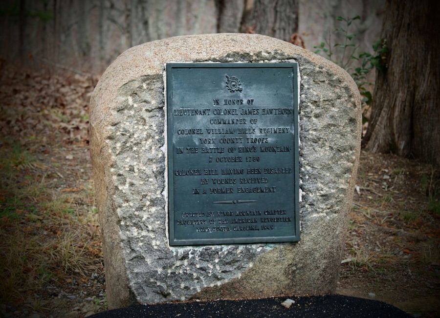
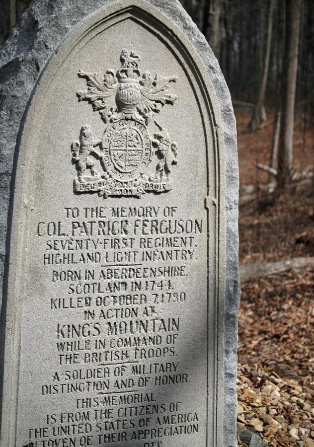
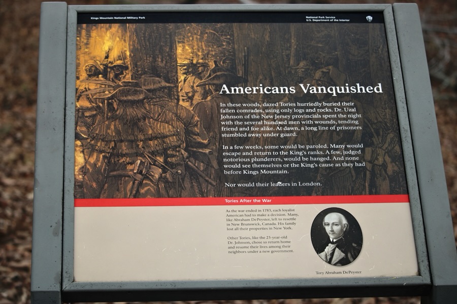
In Honor of the Three Known African-American Patriots…Coleman approaches the largest and tallest monument Coleman Pulls Up a Seat on a Monument This is a different monument Coleman is investigating In Honor of Lieutenant Colonel James Hawthorne …Coleman takes a break Pulling up a Seat on the TrailTo the Memory of Col. Patrick Ferguson …American Vanquished Battlefield Trail Directional SignThe end
Thank you to those who have participated and supported the Which Ways Challenge. I appreciate y’all sharing your Which Ways with us.
For an idea of other’s Which Ways from this past week’s challenge, be sure to click on the following links below.
Coleman and I had the opportunity to hike Battlefield Trail (more on that later) on Saturday, March 7th. The day started out gloomy and overcast with the possibility of rain. Luckily the rain held off until we were back home. It ended up being around 76°F and humid. Not too bad for hiking weather except my glasses kept fogging up making it hard to see.
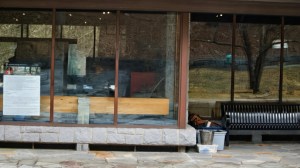
Below are the windows we saw as we were approaching the backside of the VisitorCenter upon completing the 1.5 mile Battlefield Trail.
Windows on the Backside of the Visitor Center
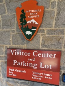
Kings Mountain National Military Park Visitor Center and Museum
National Park Service Visitor Center Kings Mountain National Military Park & Museum
Camera: 1-2) Canon EOS Rebel T7 (2000D) with Canon EF-S55-250mm lens and Altura UV Filter attachment; 3) Apple iPhone 16 Pro Max
Location: Kings Mountain National Military Park; Blacksburg, South Carolina, USA
God Bless. Have a fantastic week. Get Outdoors. Enjoy Nature’s Beauty. Thank you for visiting and sharing your time and thoughts with us. I appreciate y’all very much.
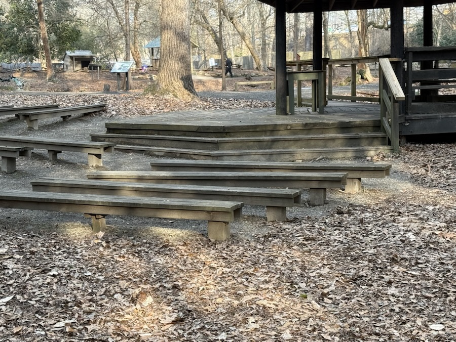
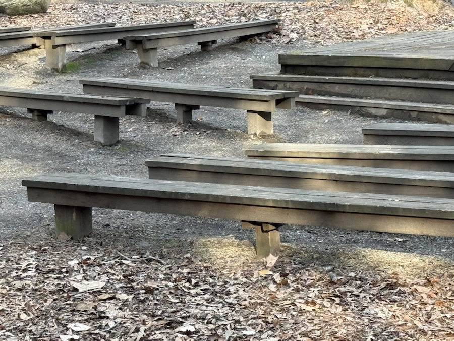
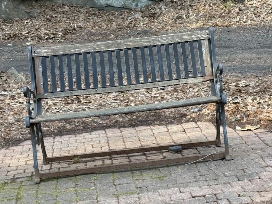
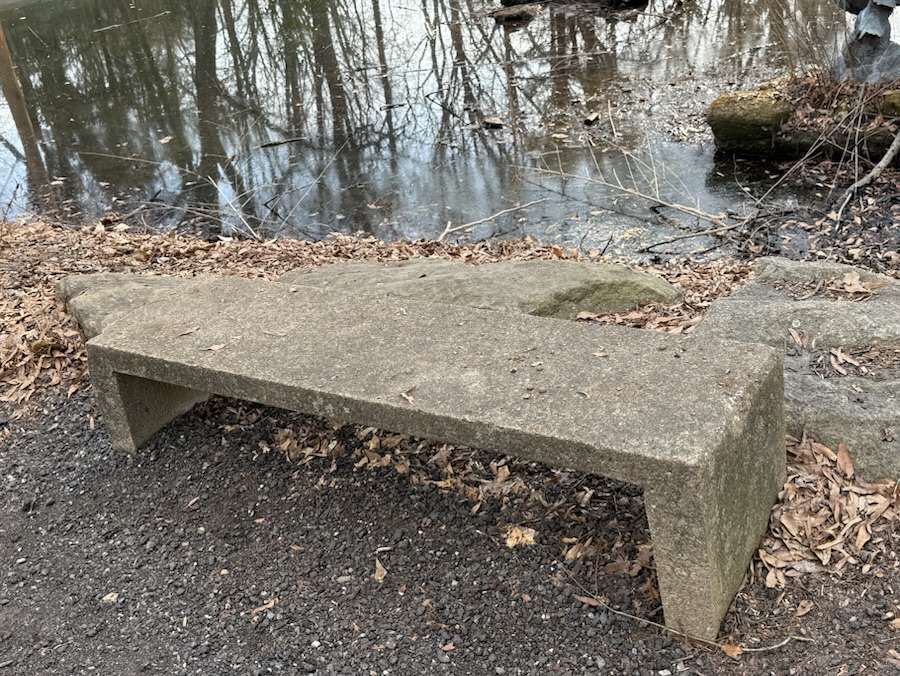
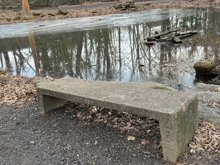
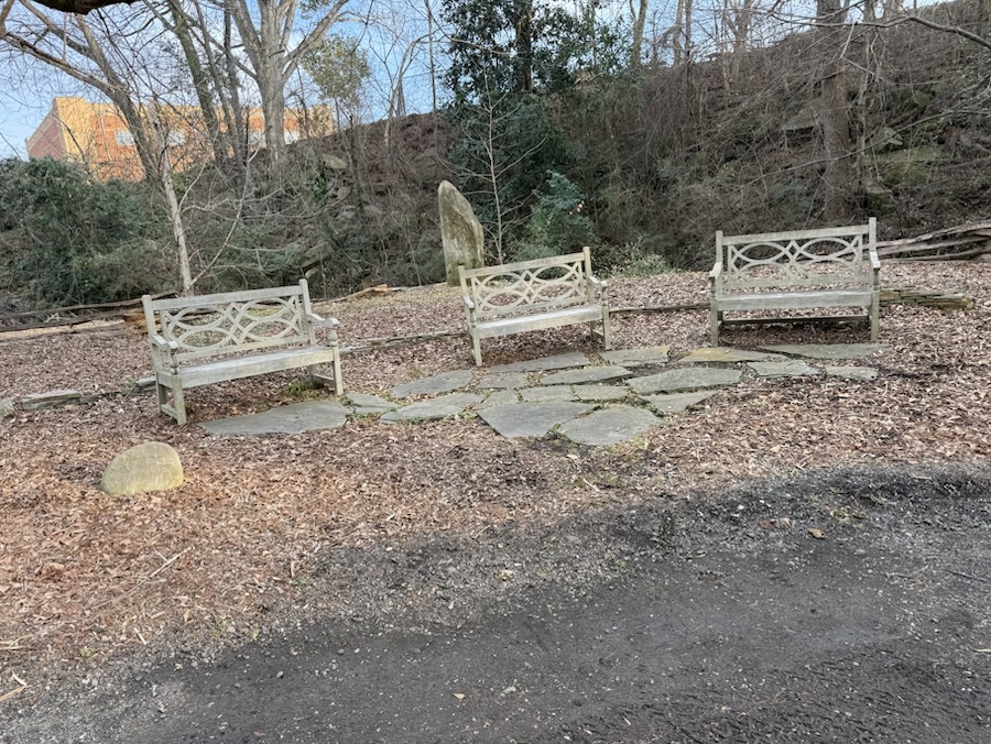
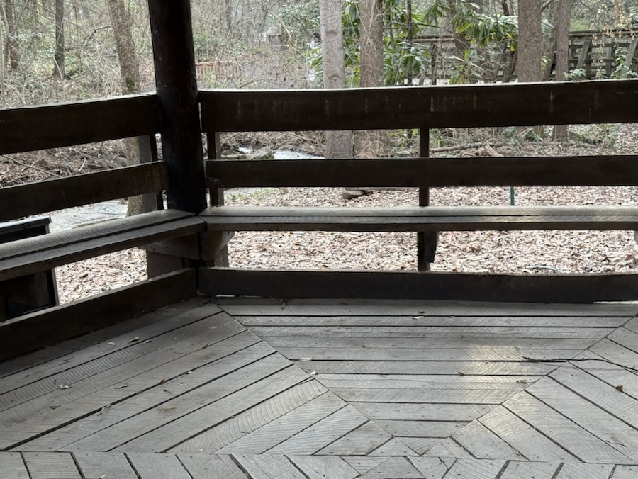
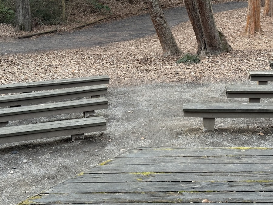
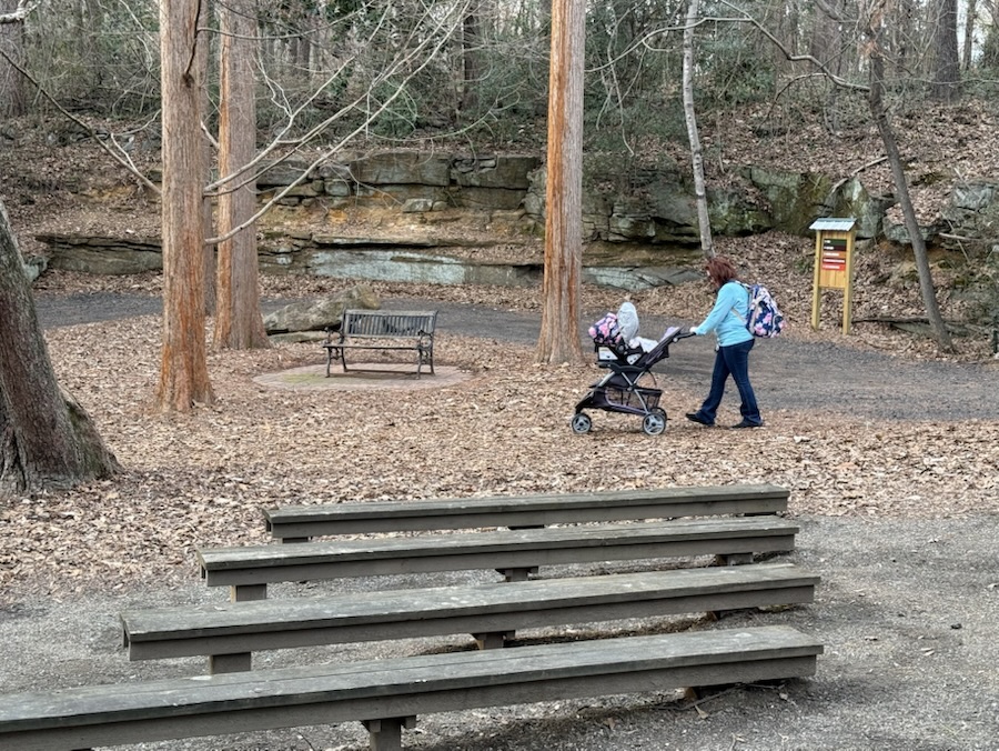
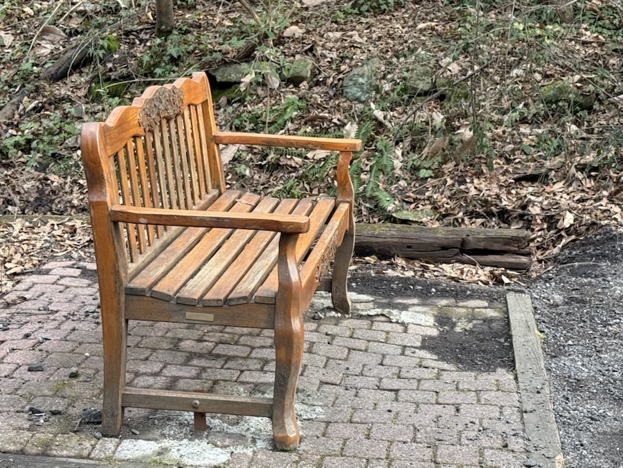
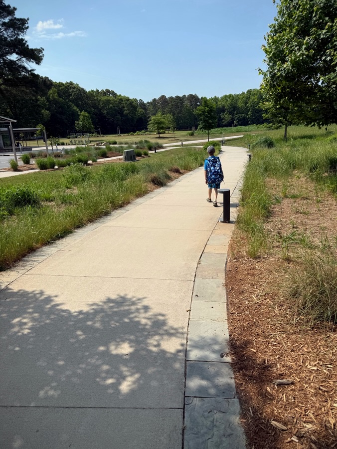
No matter if you’re hiking the Nature Trail, having a group meeting, or just need a short break; there’s a bench for you to Pull Up a Seatand rest a spell.
Amphitheater Amphitheater Benches Wood & Metal Bench Cement BenchCement BenchA Trio of Benches Gazebo Benches Gazebo BenchesAmphitheater BenchesAmphitheater BenchesWooden Bench Pull Up a Seat along a Nature Trail The Schiele Museum of Natural History
We are very much still in winter even though we haven’t had anymore snow as of yet. We have had many freezing temperatures in the evenings and early mornings. The past couple of days warmed up, however, chilly days and rainy days are still in the foreseeable forecast.
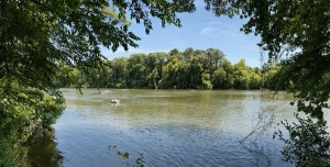
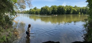
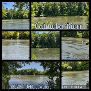
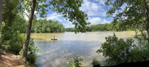
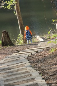
Since Spring has not yet sprung this year I decided to look back upon a delightfully sunny Spring day in 2022(spring ended on June 21st in 2022). On this spectacular Spring day, Coleman and I hiked along the Catawba River in Rock Hill, South Carolina. We hiked along the Founders Trail which runs parallel to the Catawba River. And before you ask, Coleman did enjoy some refreshing playtime in the River.
Look closely to see people tubing down the River.
Kayakers enjoying the Catawba River.
Coleman wading, playing, & watching the tubers floating down the Catawba River.
Location: Catawba River; Founders Trail; Carolina Thread Trail; Rock Hill, South Carolina, USA
God Bless. Here’s wishing for Spring. Have a delightfully wonderful weekend. Thank you for visiting and sharing your time and thoughts with us. I appreciate y’all very much.
![Which Way Challenge 2026 (CWWC): Any Which Way Along a Nature Trail (Paved, Unpaved, or Natural surface) [05.29.2026]](https://gfpacificbeeintrospection.com/wp-content/uploads/2025/06/image-1-1.jpg?w=489)


![Which Way Challenge 2026 (CWWC): Any Which Way (Your Choice) [05.08.2026]](https://gfpacificbeeintrospection.com/wp-content/uploads/2026/05/img_4638.jpg?w=900)


![Which Way Challenge (CWWC) 2026 — Any Which Way with Spring or Autumn Which Ways (Will Run for Two (2) Weeks [03.27-04.03.2026])](https://gfpacificbeeintrospection.com/wp-content/uploads/2025/04/img_1225-1.png?w=506)