![Which Way Challenge (2026) CWWC: Any Which Way (Your Choice) [07.24.2026 -07.32.2026 Will run for 2Weeks]](https://gfpacificbeeintrospection.com/wp-content/uploads/2025/06/image-1-1.jpg?w=489)

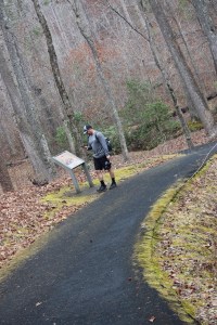
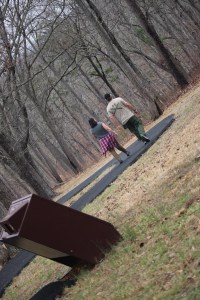
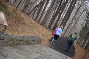
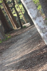
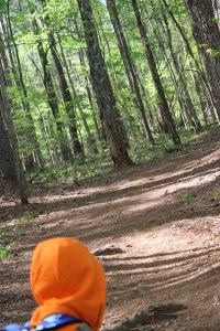
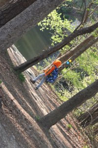
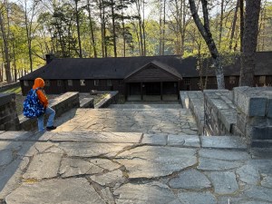
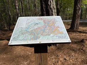
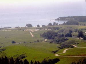
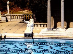
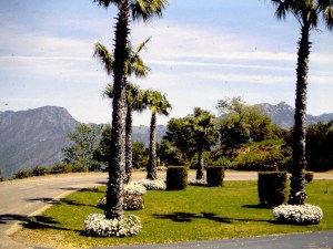
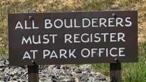
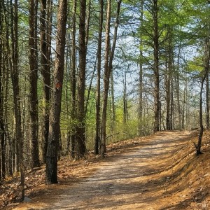
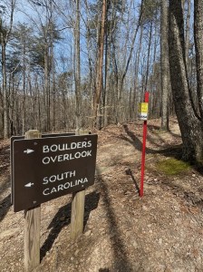
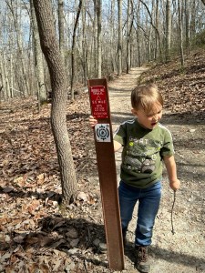
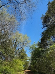
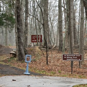
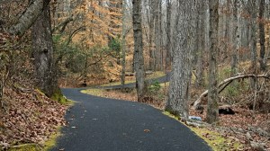
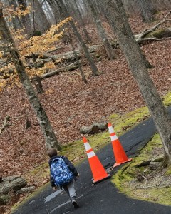
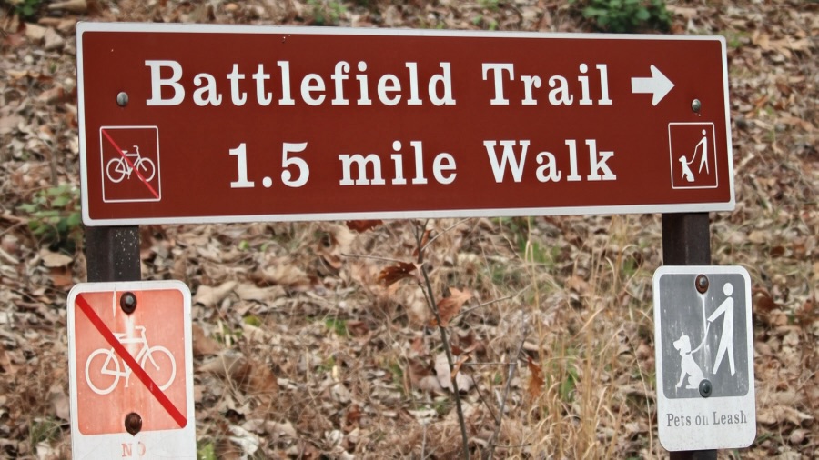
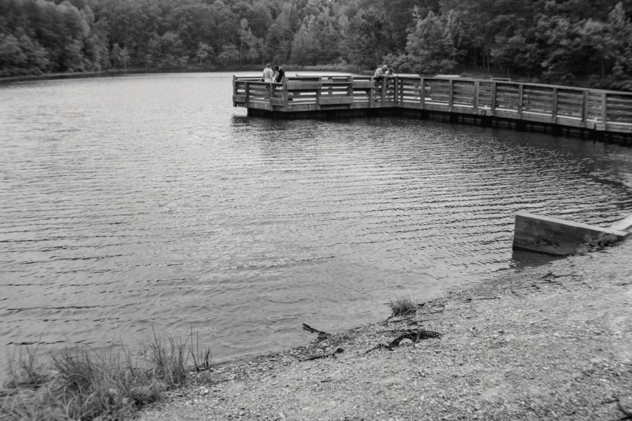
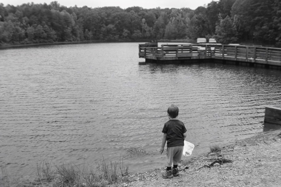
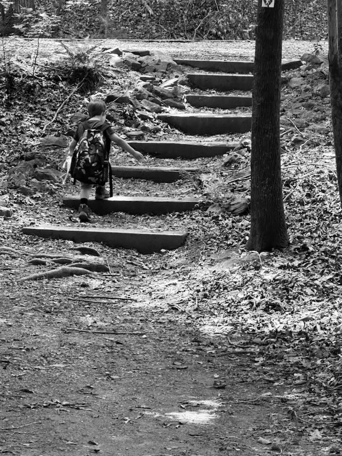
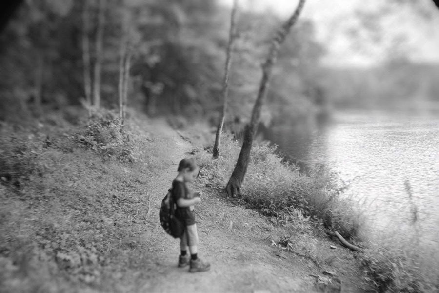
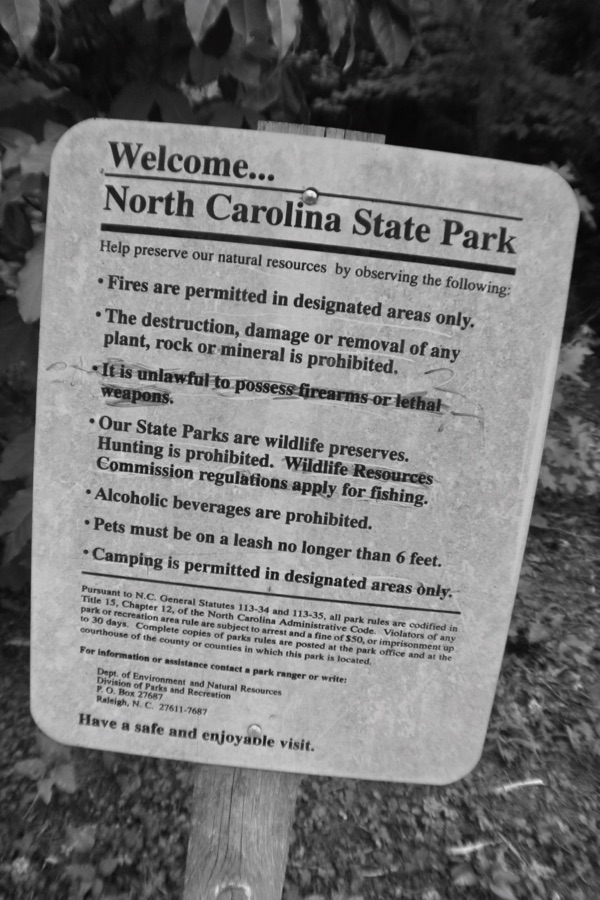
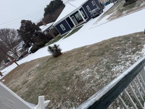
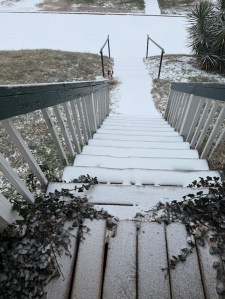
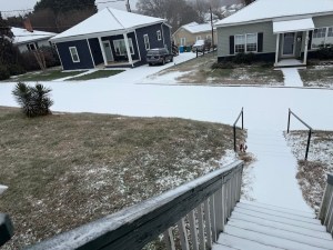
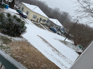
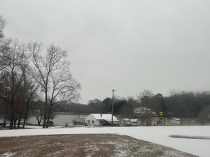
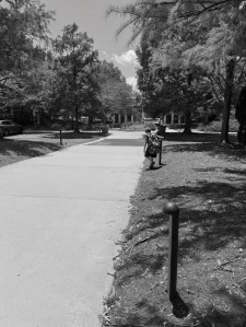
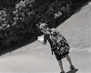
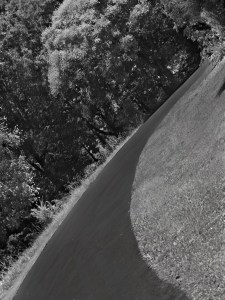
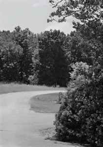
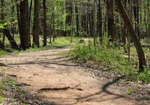
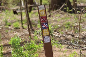
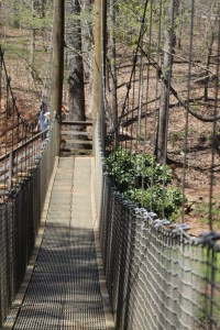
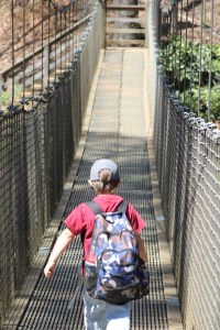
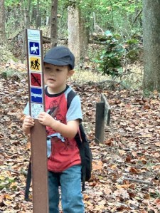
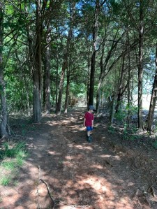
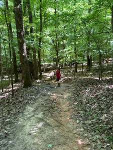
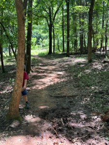
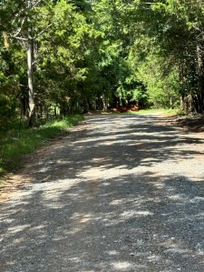
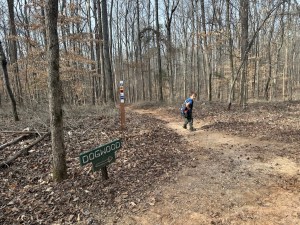
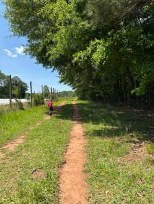
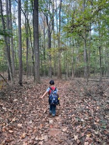
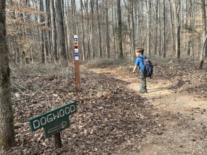
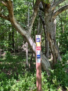
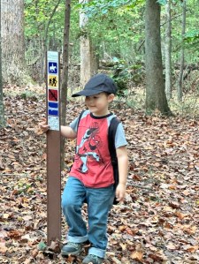
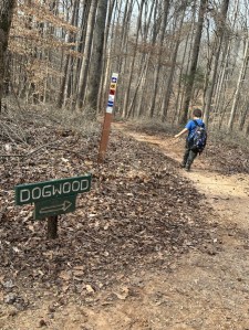
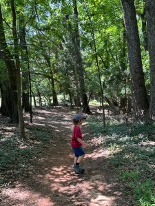
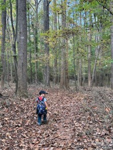
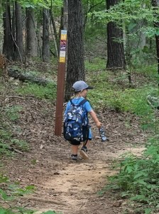
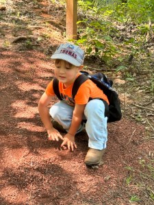
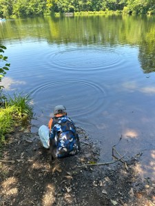
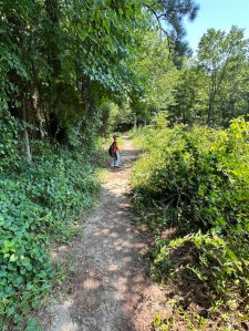
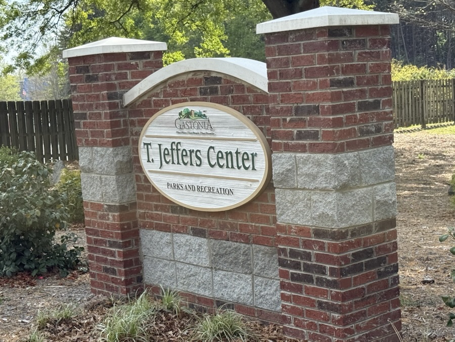
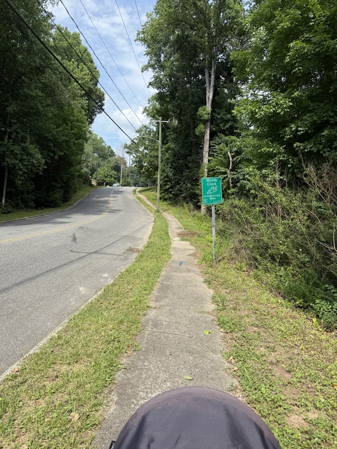
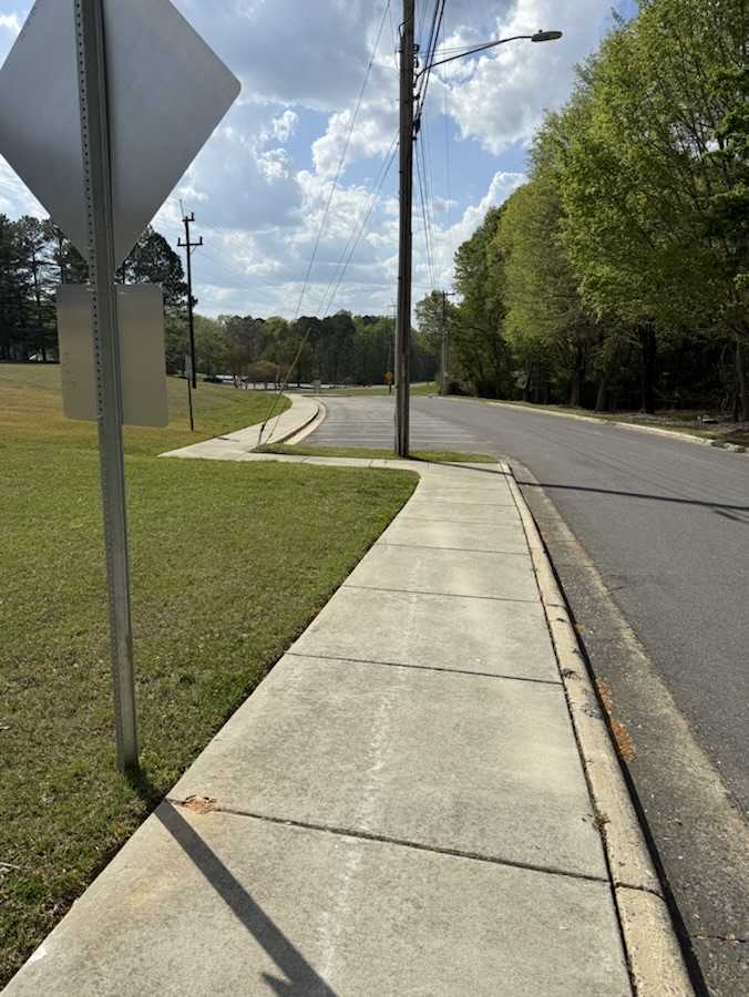
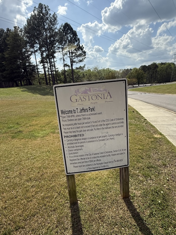
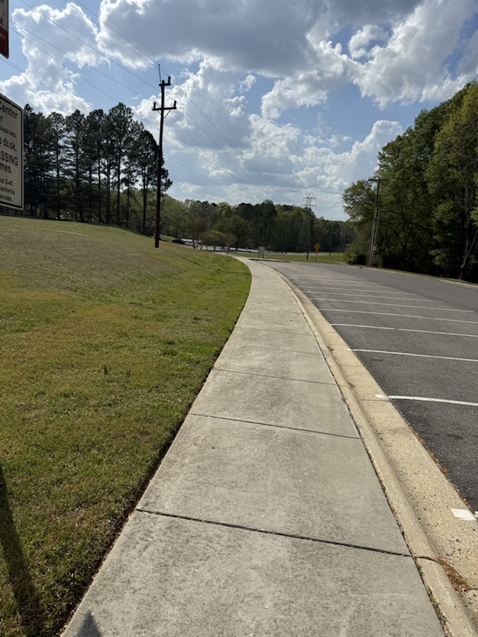
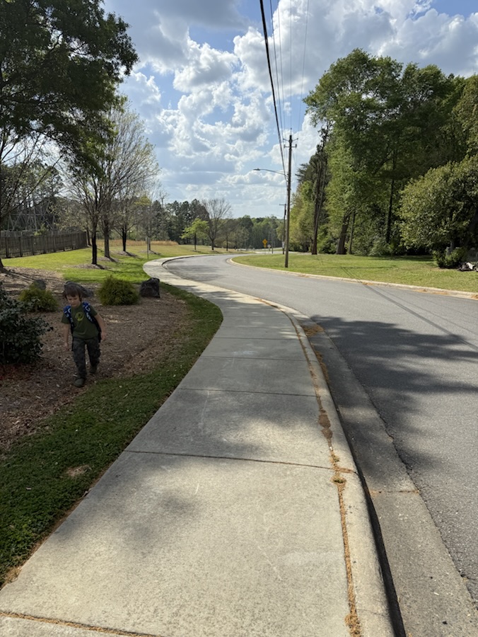
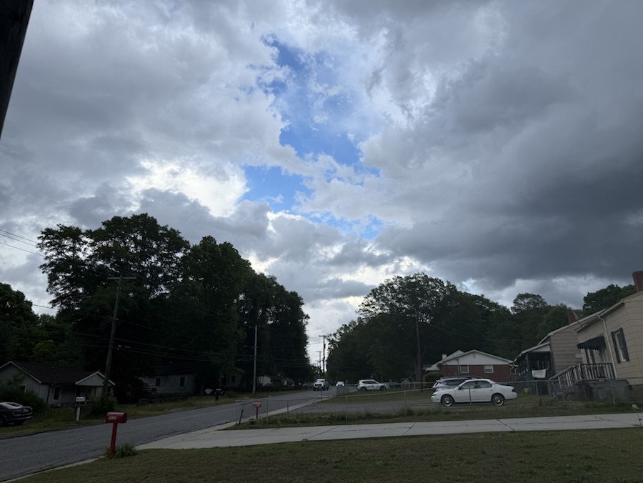
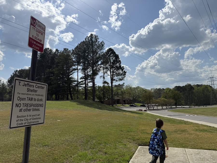
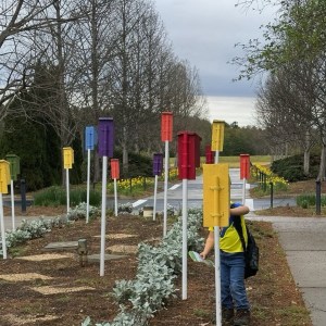
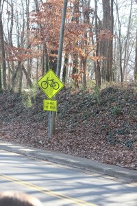
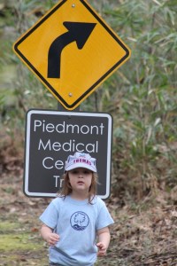
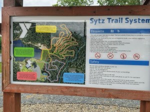
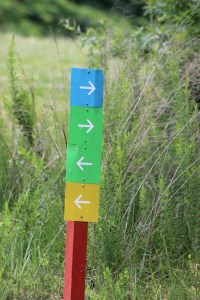
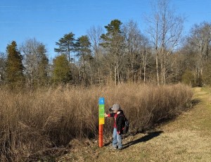
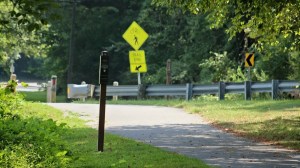
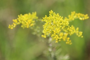
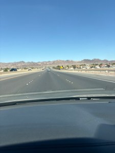
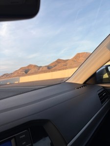
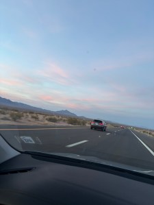
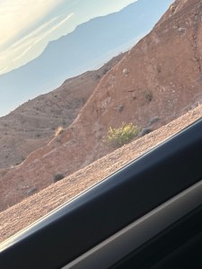
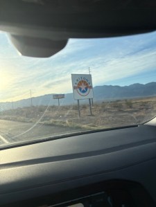
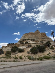
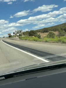
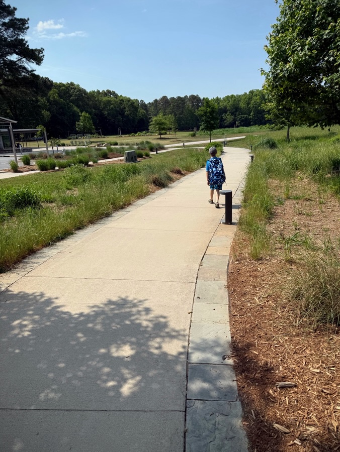
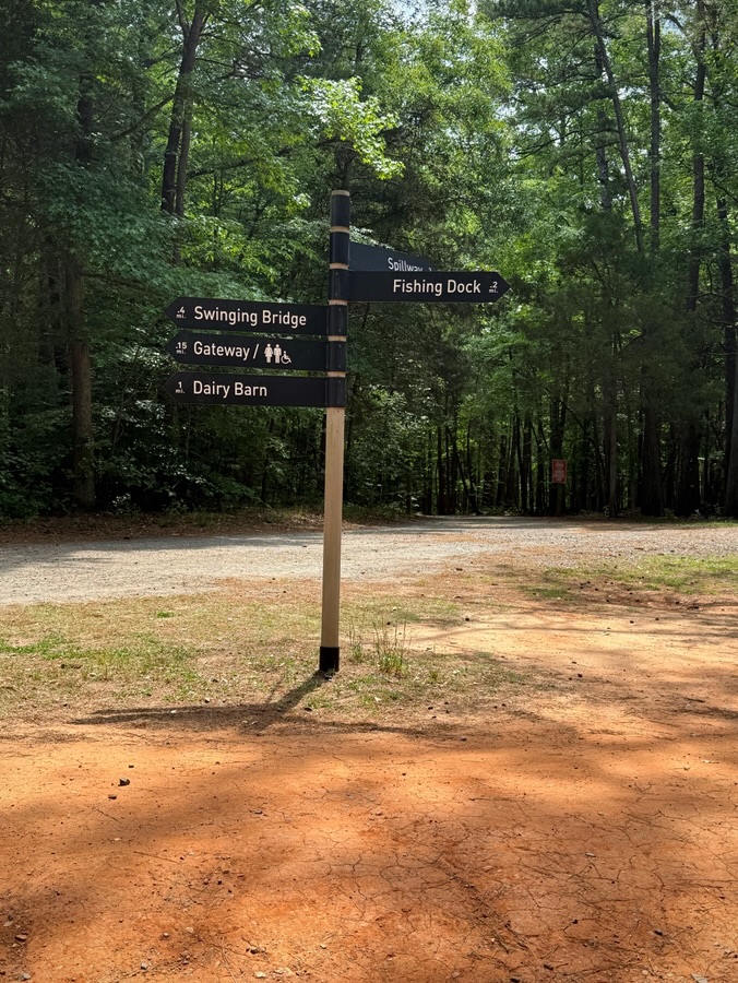
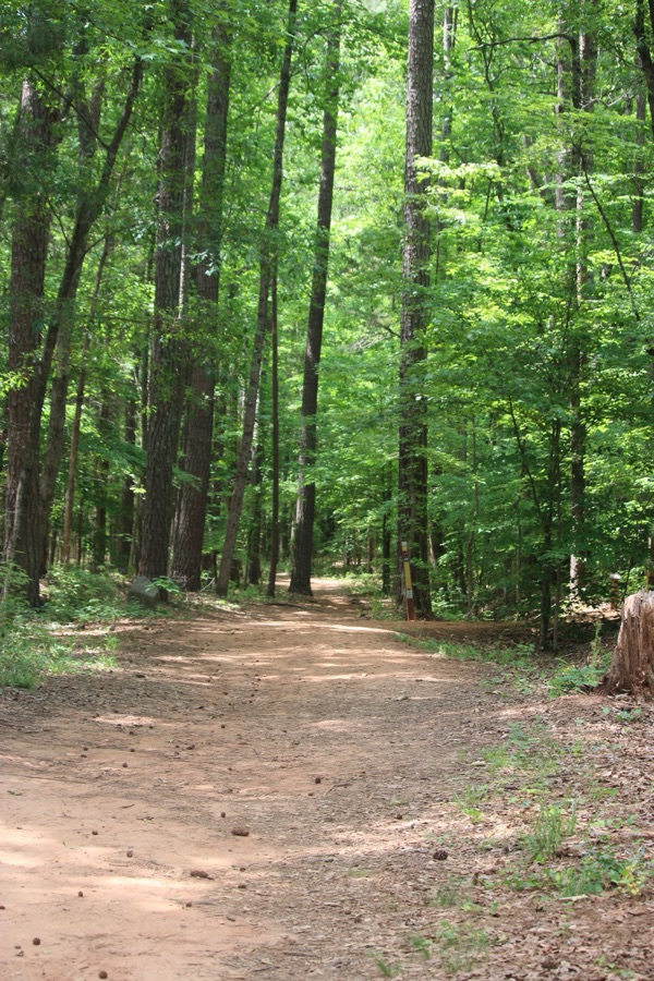
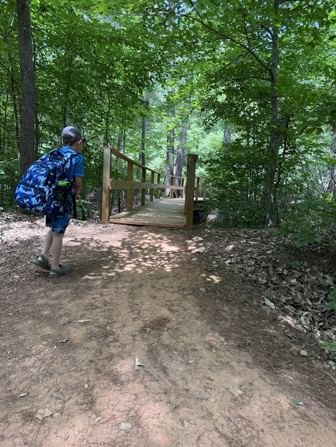
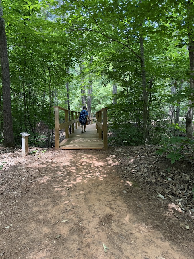
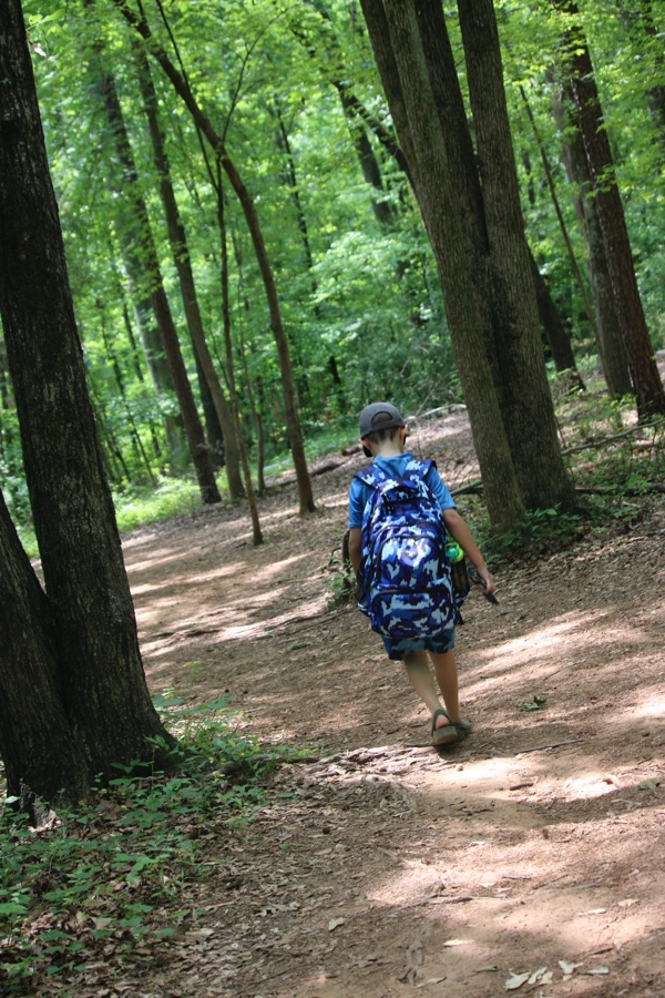
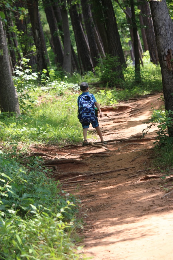
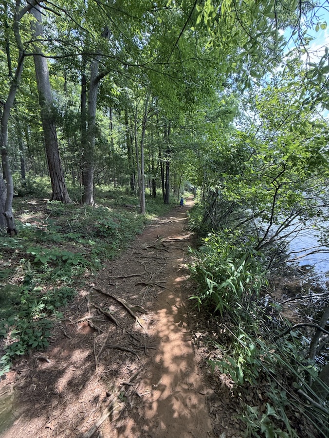
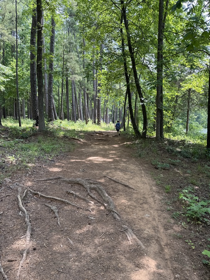
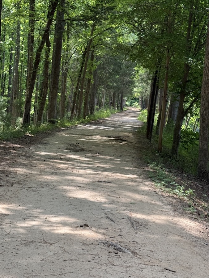
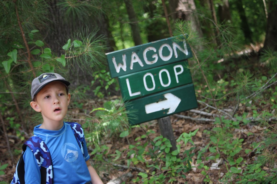
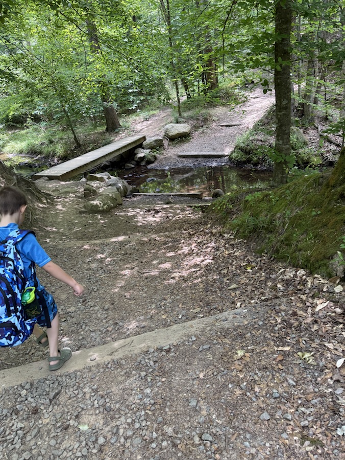
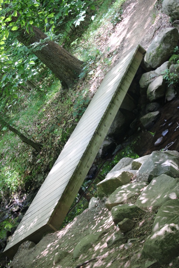
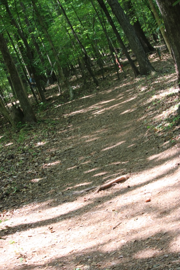
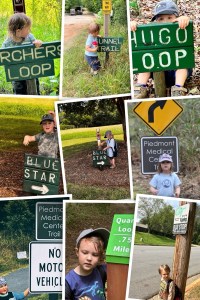
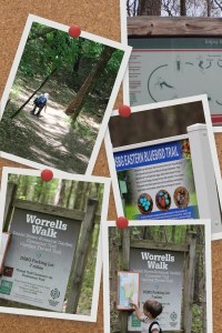
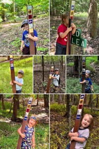
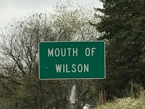
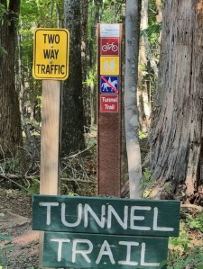
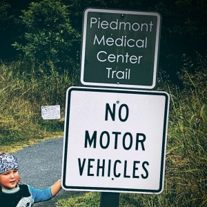
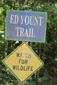
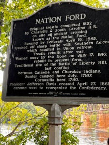
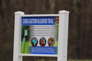
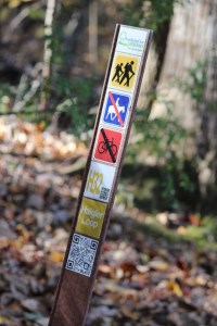
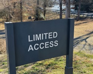
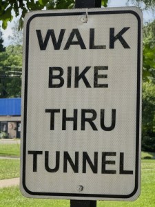
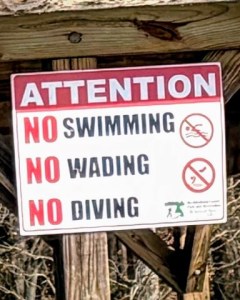
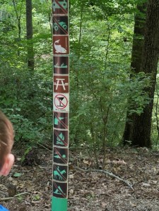
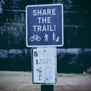
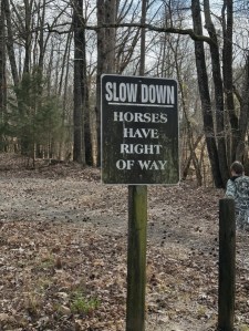
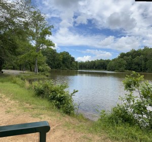
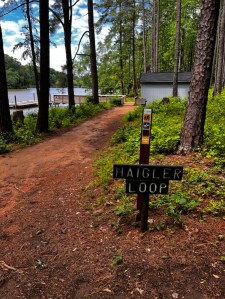
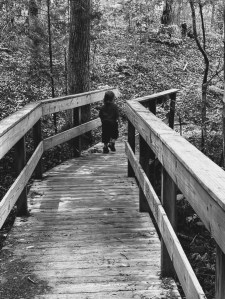
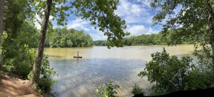
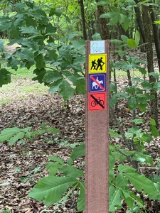
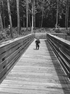
Welcome back to another Which Way Challenge (CWWC). I trust everyone has had a good week and able to spend some time to take a walk or hike in the vast outdoors. This week’s I’m allowing y’all to choose your own Which Ways for this week and next with the theme of CWWC: Any Which Way (Your Choice). The Which Way can be any path, sidewalk, trail, or road as long as the Which Way is clearly discernible. As always signs are always welcome.
For further information regarding the Which Way Challenge (CWWC) feel free to check out the home page here.
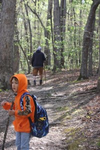
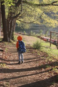
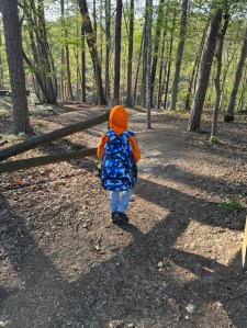
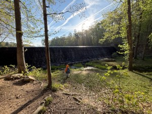
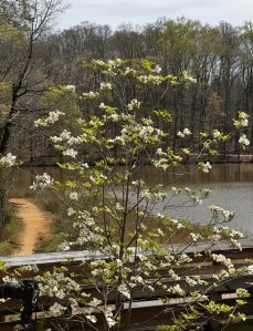
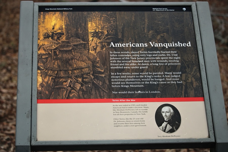
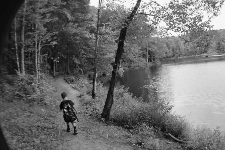
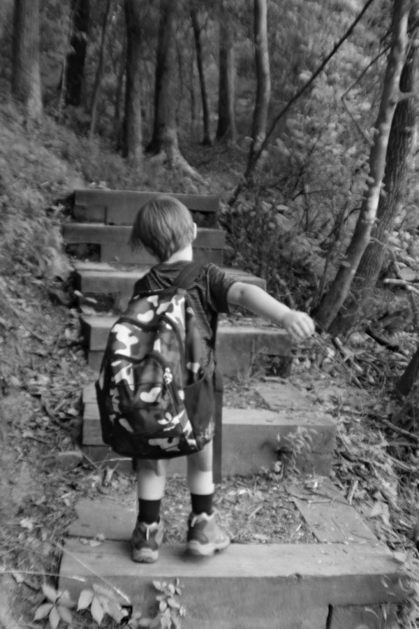
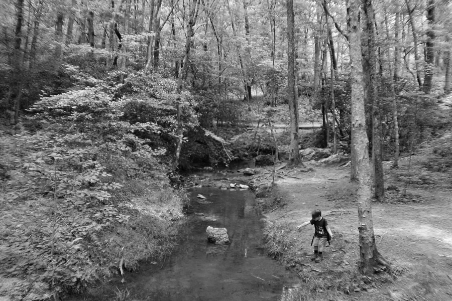
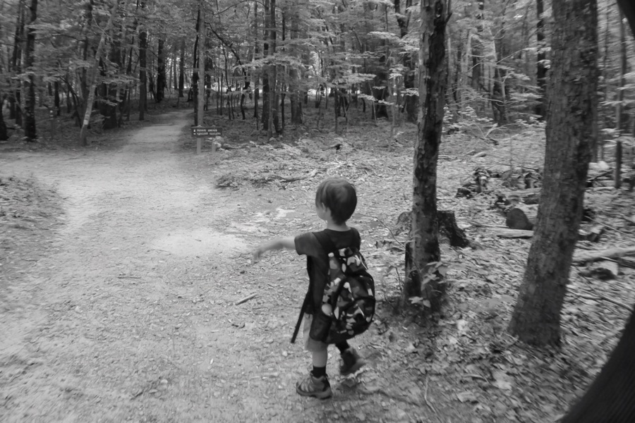
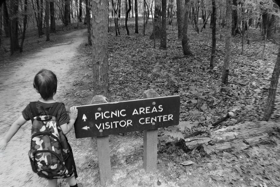
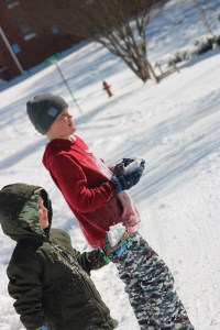
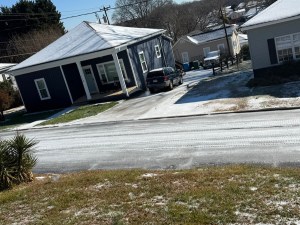
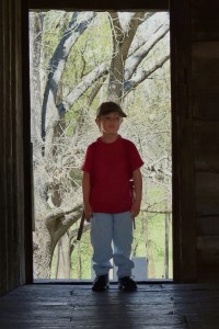
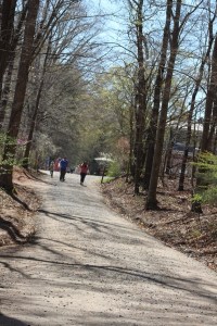
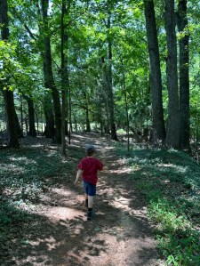
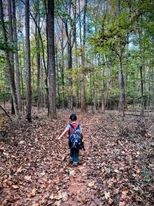
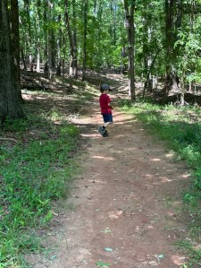
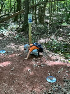
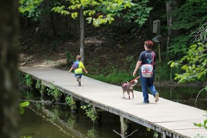
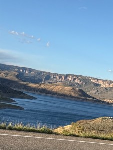
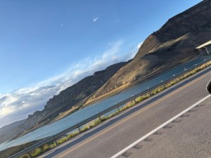
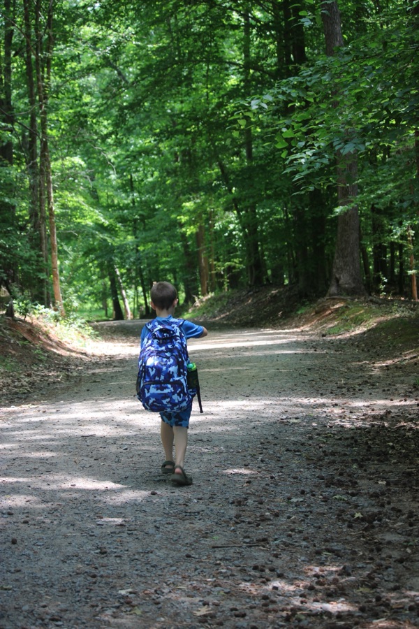
When I began preparing this post after last week’s went live I had thought of sharing a hiking adventure Coleman and I had two years ago in 2024. However, best laid plans do change occasionally as did mine for this week.
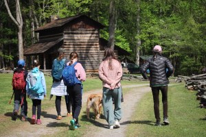
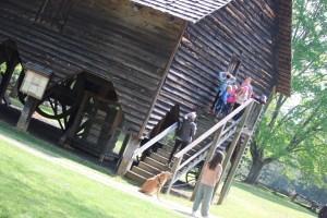
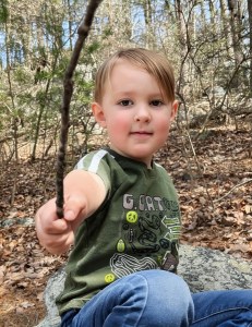
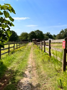
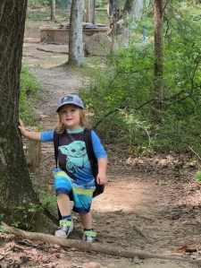
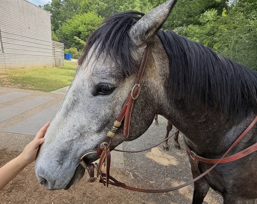
We had an incident with Coleman this week (I won’t go into details, but prays are appreciated). This is a special week for Coleman so he mom chose to take us on a special adventure up in Mooresville, North Carolina to the Lazy 5 Ranch.
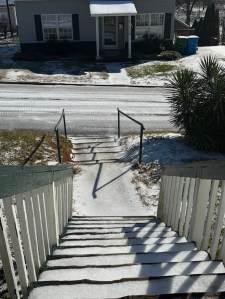
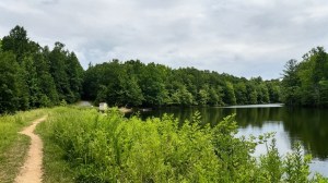
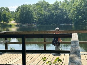
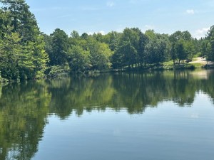
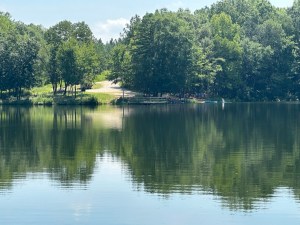
I am sharing a few images of our adventures here with y’all.
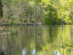
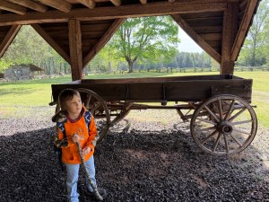
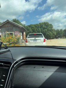
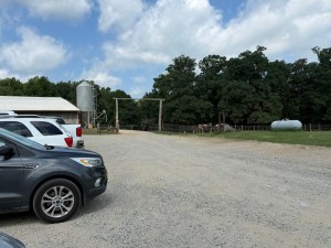
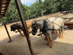
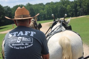
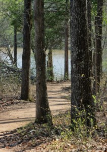
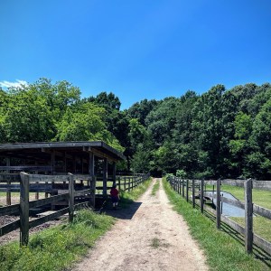
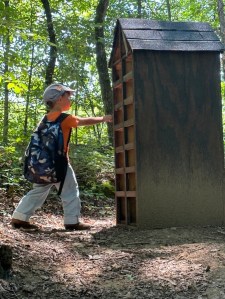
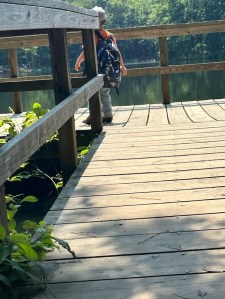
Arriving at Lazy 5 Ranch …
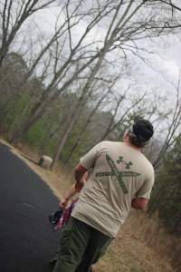
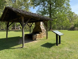
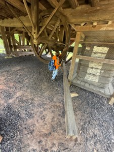
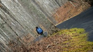
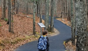
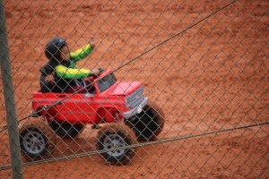
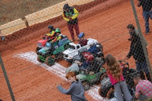
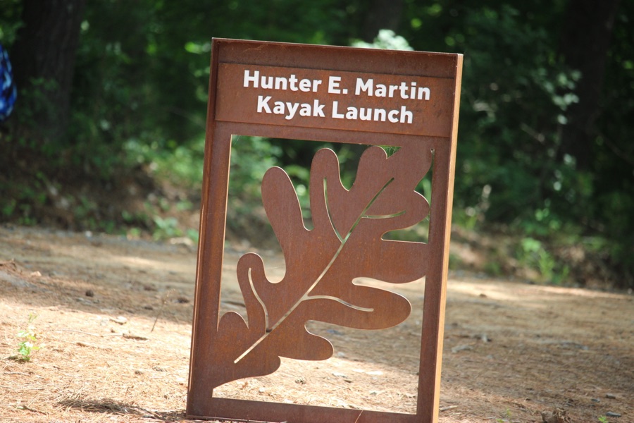
Cee’s Which Way Challenge
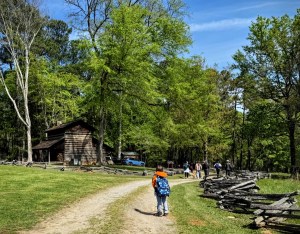
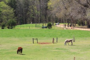
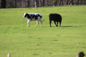
The Lazy 5 Ranch is approximately an hour’s drive north of us in the City of Mooresville, North Carolina. It is privately owned and operated by Henry Hampton. It receives no federal or state funding. Henry Hampton has been raising exotic animals for over 50 years. He started out with the exotic animals at his own home and allowed school groups to visit viewing the animals from the opposite side of the fence.
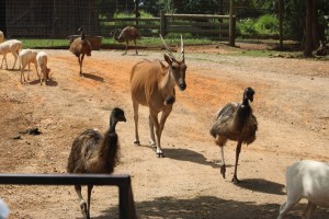
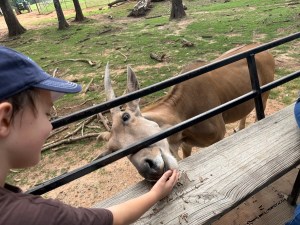
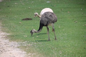
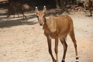
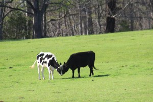
an Eland
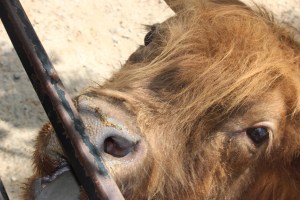
Exotic animals

Exotic Animals at
Lazy 5 Ranch
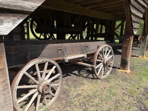
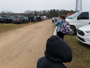
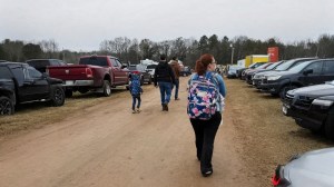
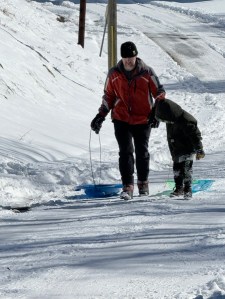
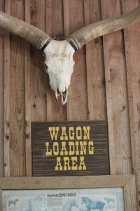
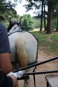
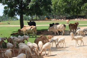
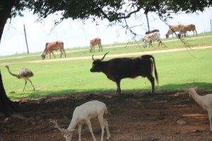
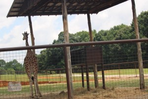
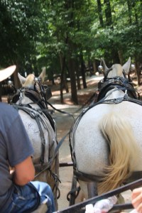
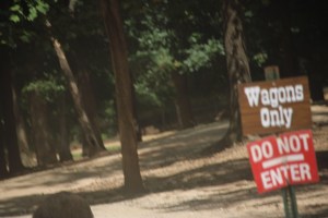
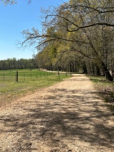
In May of 1993, Mr. Hampton’s dream became a reality and The Lazy 5 Ranch officially opened. It opened with just five (5) staff people and only two (2) operating wagons. We chose to have a Wagon Ride with the driver commenting on the animals we were seeing instructing everyone to remain seated as long as the Wagon was moving. We could move around or stand to take pictures when the wagon was stopped.
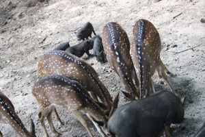

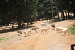
Plus Exotic Animals We Saw
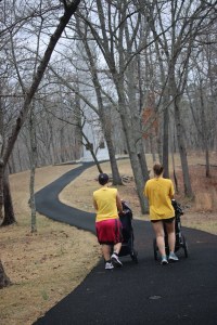
Cee’s Which Way Challenge
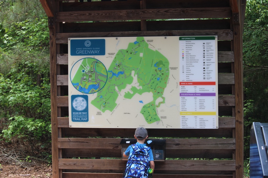
The Lazy 5 Ranch has grown tremendously since its beginning with over 600 animals from six (6) continents. The animals can be viewed everyday all year long by horse drawn wagon or from your own personal vehicle while traveling along a 3 1/2 mile safari ride. As you can see, I have only shared a fraction of what we saw on our adventure visiting the Ranch.
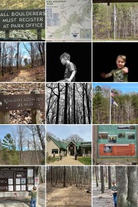
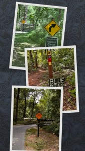
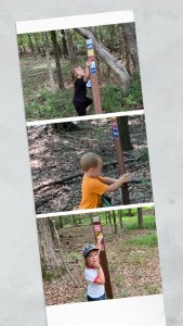
Click on each image to enlarge.
Thank you to those who have participated and supported the Which Ways Challenge. I appreciate y’all sharing your Which Ways with us.
For an idea of other’s Which Ways from this past week’s challenge, be sure to click on the following links below.
Suzette’s For Deb’s CWWC Any Which Way Paved [in Black and White]
Geriatri’x’ Fotogallery’s Roads And Bridges
Marina’s Fence
Cath’s Which Way… {Monochrome Roads}
Dan’s Ain’t No Cure — SoCS
Dawn’s Which Way: Train Track in the Weeds
Marilyn’s My Way Or The Highway?
Dawn’s Around the Bend in BnW
Deb’s Which Way Challenge (CWWC)
Next week we’ll continue with the theme of CWWC: Any Which Way (Your Choice) [07.31.2026].
Photo Credit:©️2026 Deb L. Waters … All Rights Reserved.
Cameras: Canon EOS Rebel T7 (2000D) with Canon EF-S55/250mm lens and Altura UV Filter attachment; Apple iPhone 16 Pro Max
Location: Lazy 5 Ranch; 15100 Mooresville Road; Mooresville, North Carolina, USA
God Bless. Have an adventurous weekend. Thank you for visiting and sharing your time and thoughts with us. I appreciate y’all very much.


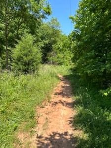


![Which Way Challenge 2026 (CWWC): Any Which Way (Your Choice) [05.08.2026]](https://gfpacificbeeintrospection.com/wp-content/uploads/2026/05/img_4638.jpg?w=900)


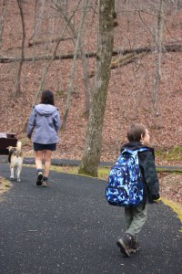
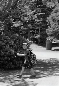
![Which Way Challenge 2026 (CWWC): Any Which Way Capturing People Unaware. [05.01.2026]](https://gfpacificbeeintrospection.com/wp-content/uploads/2025/04/img_1225-1.png?w=506)