![Which Way Challenge (CWWC) 2026 — Any Which Way with Spring or Autumn Which Ways (Will Run for Two (2) Weeks [03.27-04.03.2026])](https://gfpacificbeeintrospection.com/wp-content/uploads/2025/04/img_1225-1.png?w=506)

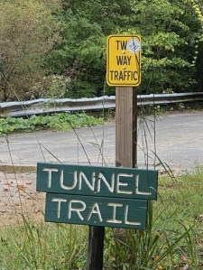
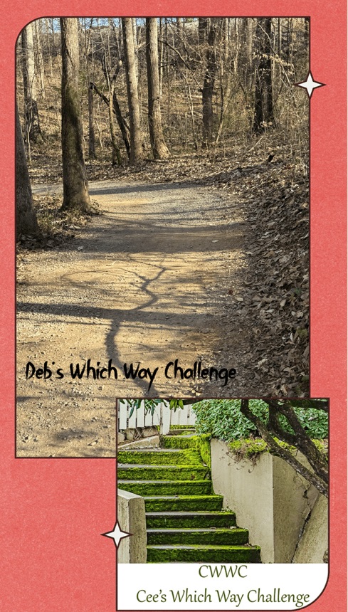
Welcome back to another Which Way Challenge (CWWC). This week I have chosen for the theme – Any Which Way with Spring or Autumn Which Ways (Will Run for Two (2) Weeks [03.27-04.03.2026]) for this week’s theme. The Which Way can be any Dirt trail, road, pathway, sidewalk as long as the Which Way is clearly discernible. As always signs are always welcome.
For further information regarding the Which Way Challenge (CWWC) feel free to check out the home page here.
Here are my entries …
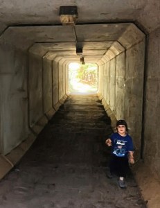
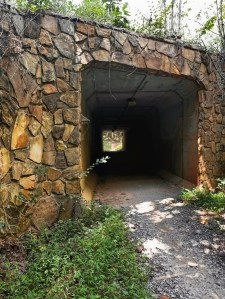
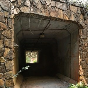
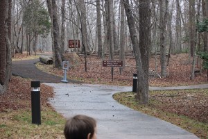
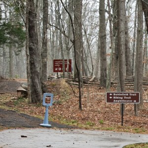
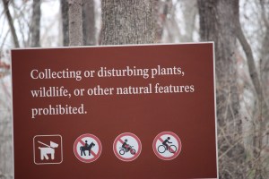
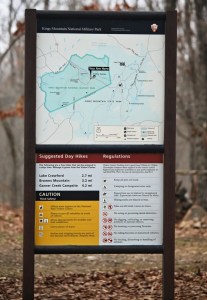
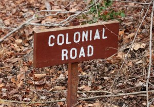
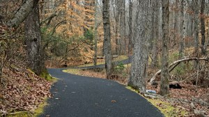
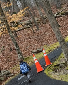
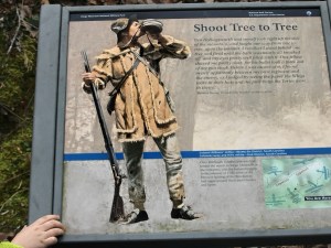
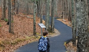
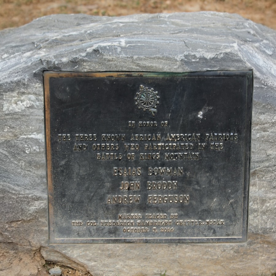
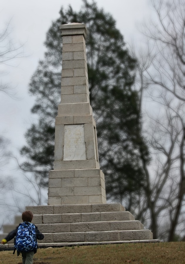
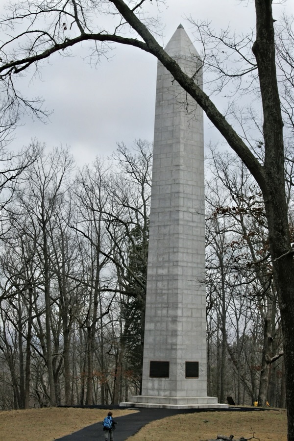
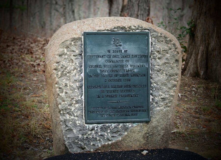
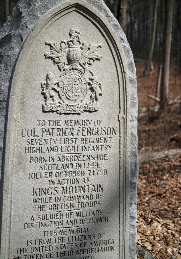
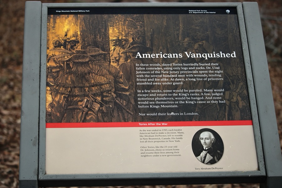
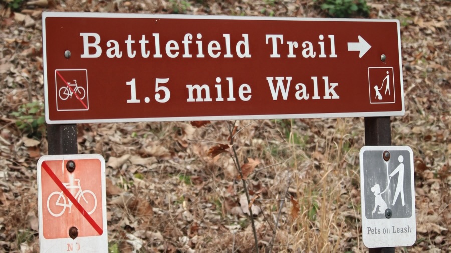
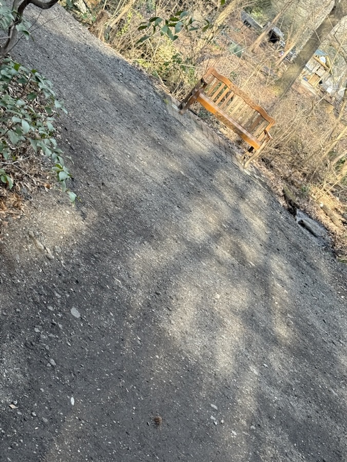
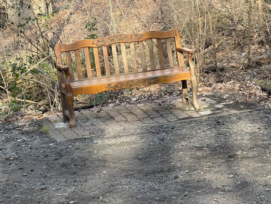
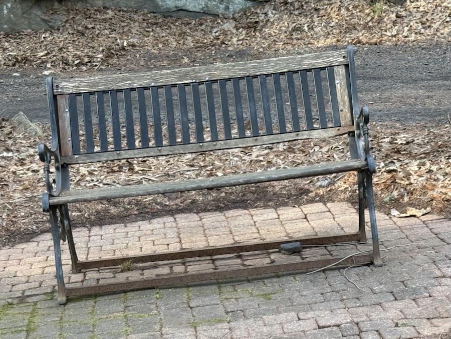
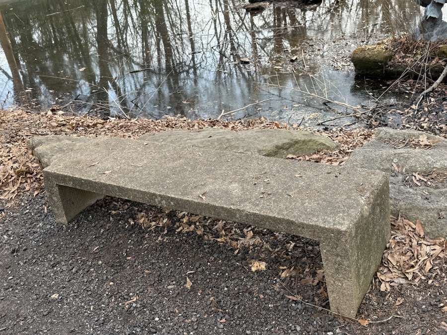
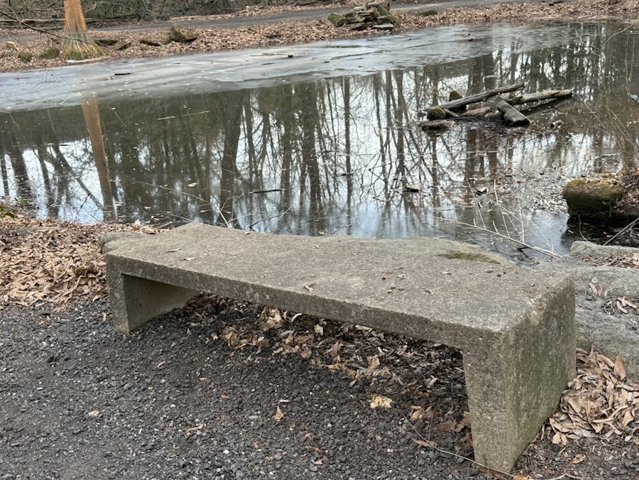
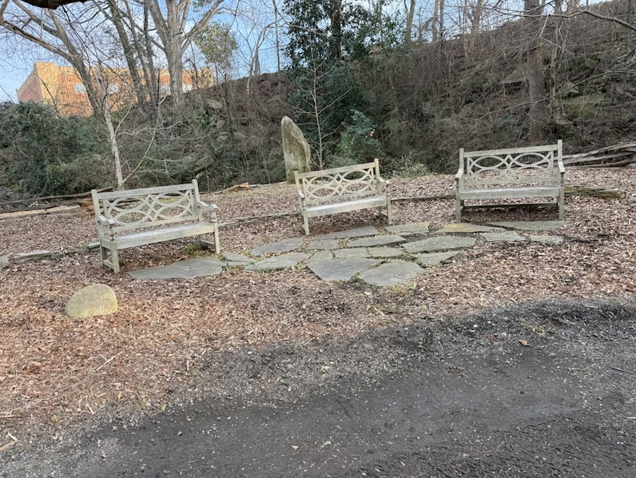
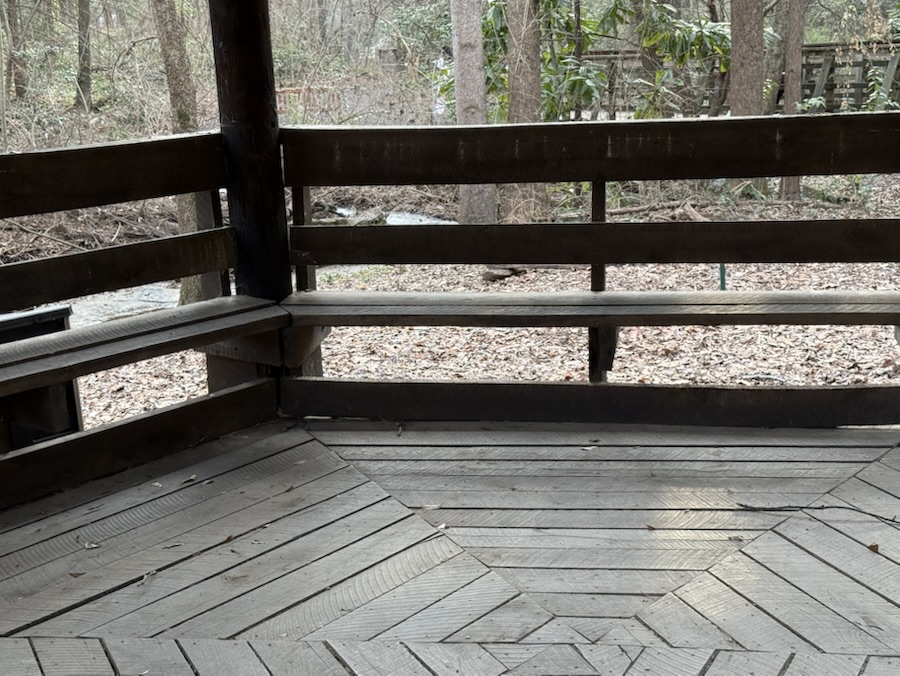
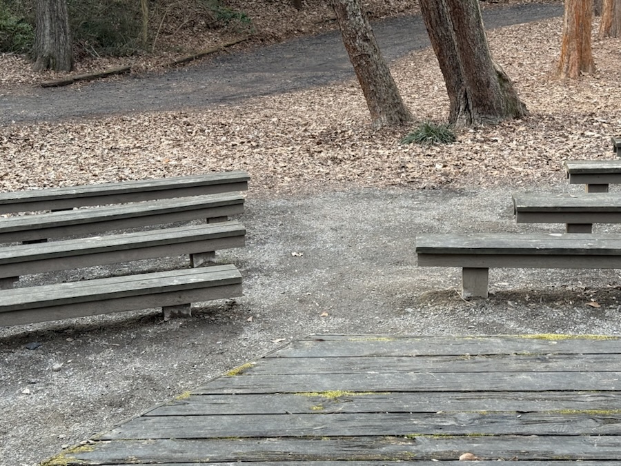
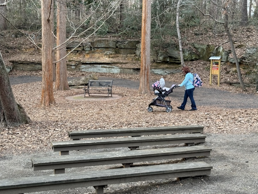
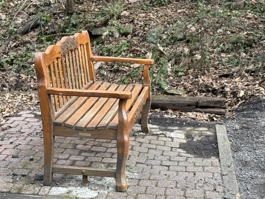
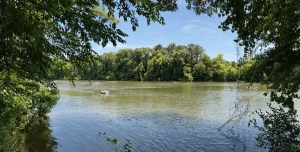
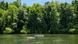
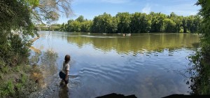
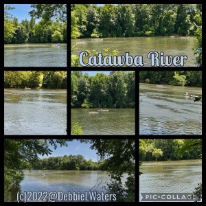
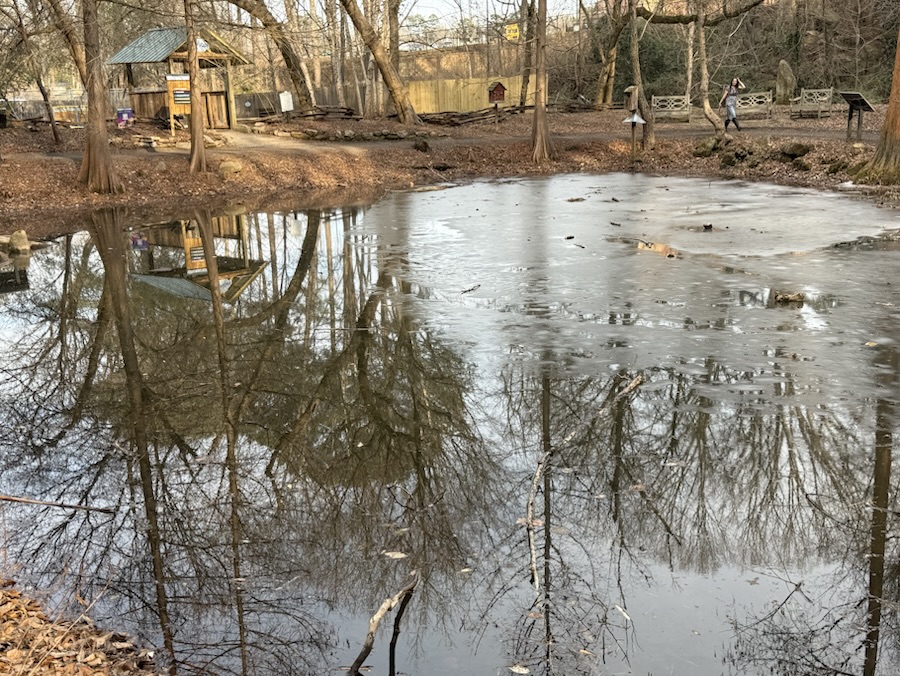
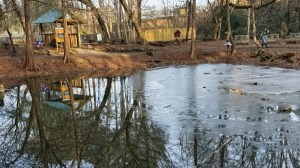
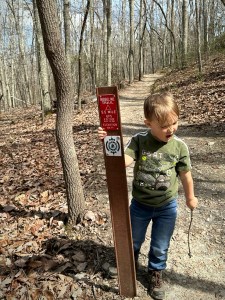
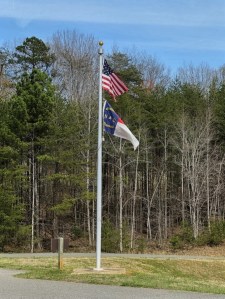
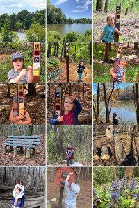
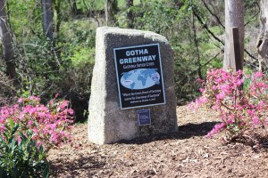
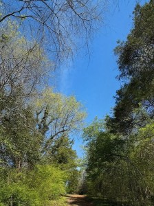
I’m starting off with a Springtime hike at Crowders Mountain State Park in Kings Mountain, North Carolina. We entered Crowders Mountain State Park from the Boulders Access Point. After parking and gathering our backpacks with our water and snacks we checkered out the trail map.
We decided to hike the Ridgeline Trail. The Ridgeline Trail connects three parks, namely Crowders Mountain State Park, Kings Mountain State Park, and Kings Mountain National Military Park. The total length of the trail if you hike to all three is 15.1 miles with an elevation gain of 2,411 feet. The Crowders Mountain State Park section of the Ridgeline Trail is 6.2 miles long.
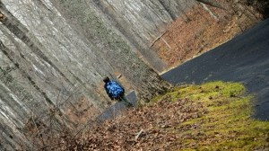
Coleman and I only hiked the Crowders Mountain State Park section of the Ridgeline Trail and then hiked back to the Boulders Access Point parking area.

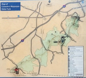
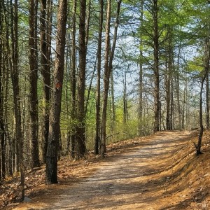

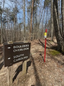

Boulders Access Point
Crowders Mountain State Park
Kings Mountain, North Carolina
Now that we’ve seen one of our Springtime hikes, let’s take a look at a variety of Spring Florals seen while hiking on various hiking trails.
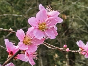
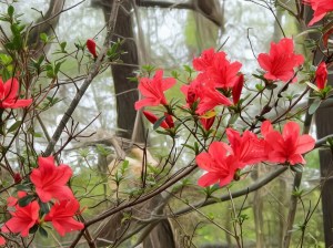
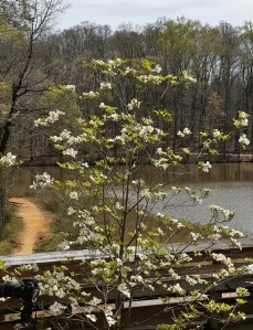
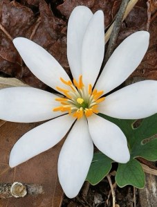
Click on each image to enlarge.
Thank you to those who have participated and supported the Which Ways Challenge. I appreciate y’all sharing your Which Ways with us.
For an idea of other’s Which Ways from this past week’s challenge, be sure to click on the following links below.
Vanda from two-sisters.blog’s Lanes and Pathways at Home and Away
Suzette’s Paved – For Deb’s Any Which Way – CWWC 2026
Brian’s An adventure (along a path)
Dawn’s Which Way with the Willows
Marina’s Lines
Deb’s Which Way Challenge (CWWC)
Also posting for:

Cee’s Flower of the Day (FOTD)

Bren’s Floral Friday
Deb’s Which Way Challenge (CWWC)
Photo Credit: ©️2022-2024 Deb L. Waters … All Rights Reserved.
God Bless. Enjoy a stroll in the vast outdoors. Have a funtastic weekend. Thank you for visiting and sharing your time and thoughts with us. I appreciate y’all very much.
Note: The theme for the next will be a continuation of CWWC: Any Which Way with Spring or Autumn Which Ways ( Will Run for Two (2) Weeks [03.27-04.03.2026]